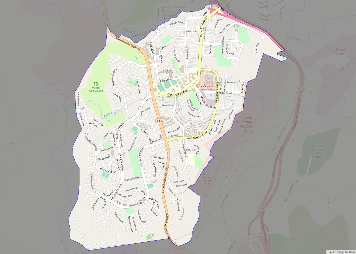
Mililani (Hawaiian pronunciation: [miliˈlɐni]) is a city located near the center of the island of Oʻahu in Honolulu County, Hawaiʻi, United States. It consists of two census-designated places, Mililani Town, with a population of 28,121 at the 2020 census, and Mililani Mauka, with a 2020 census population of 21,075. Mililani Town CDP overview: Name: Mililani Town ... Read more
Hawaii Cities and Places
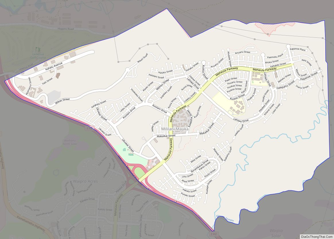
Mililani Mauka is a census-designated place (CDP) in Honolulu County, Hawaii on the island of Oʻahu, Hawaii, United States. As of the 2020 census, the CDP had a population of 21,075. Mililani Mauka CDP overview: Name: Mililani Mauka CDP LSAD Code: 57 LSAD Description: CDP (suffix) State: Hawaii County: Honolulu County Elevation: 880 ft (270 m) Total ... Read more
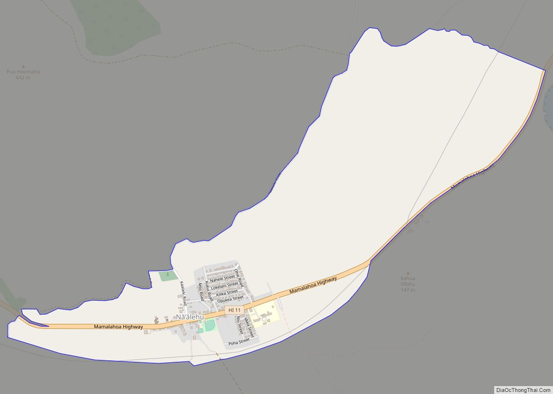
Nāʻālehu (Hawaiian: Nāʻālehu) is a community in Hawaiʻi County, Hawaii, United States. Nāʻālehu is Hawaiian for “the volcanic ashes”. It is one of the southernmost communities with a post office in the 50 states of the United States. (See List of extreme points of the United States.) For statistical purposes, the United States Census Bureau ... Read more
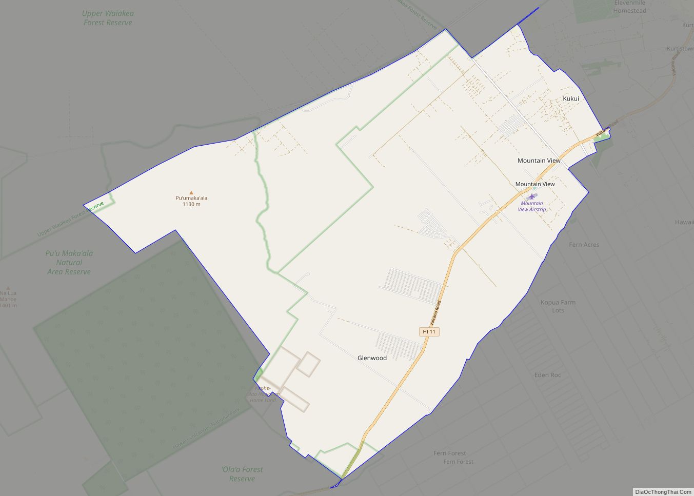
Mountain View is a census-designated place (CDP) in Hawaii County, Hawaii, United States located in the District of Puna. The population was 3,924 at the 2010 census, up from 2,799 at the 2000 census. Mountain View CDP overview: Name: Mountain View CDP LSAD Code: 57 LSAD Description: CDP (suffix) State: Hawaii County: Hawaii County Elevation: ... Read more
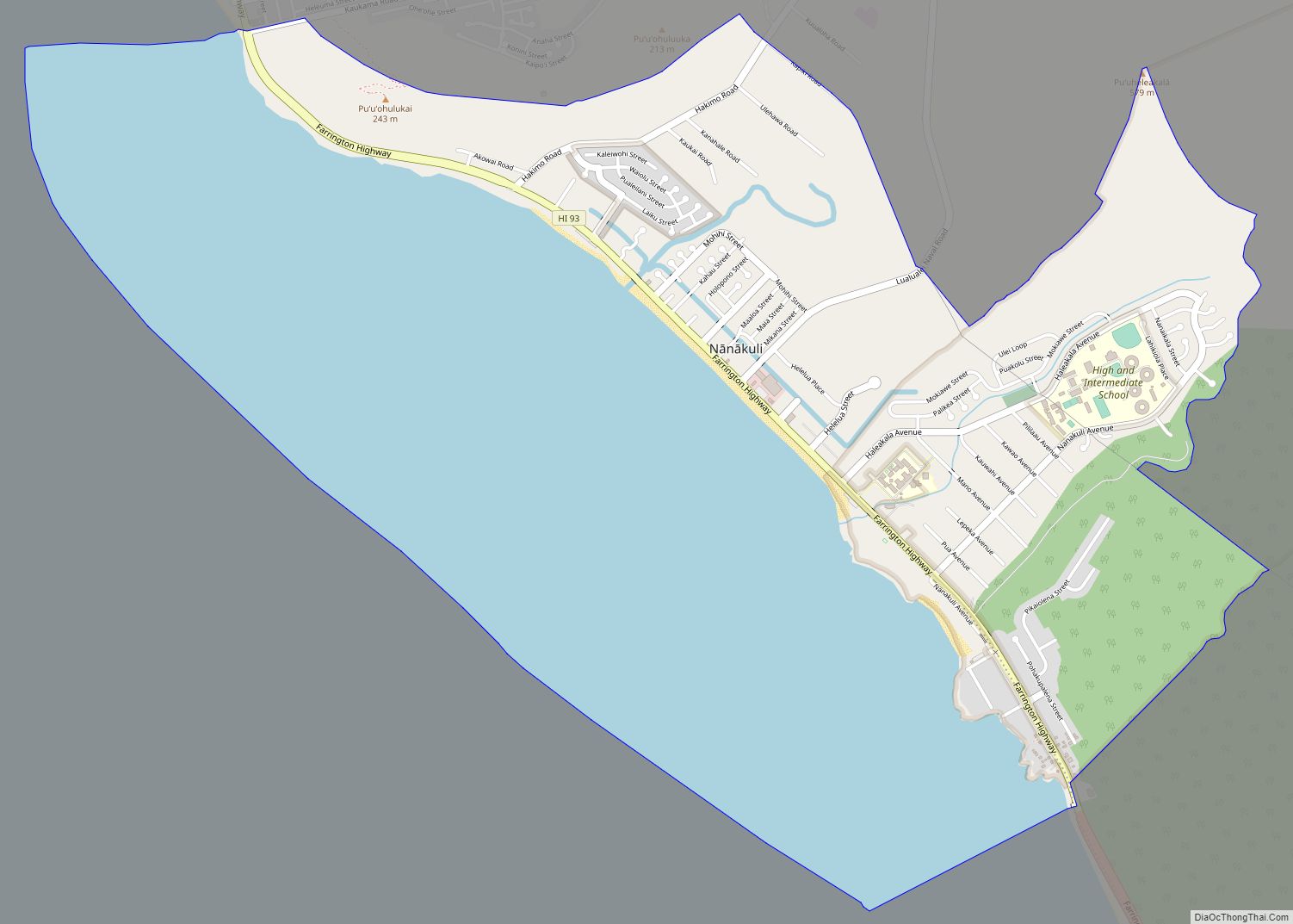
Nānākuli (Hawaiian pronunciation: [naːnaːˈkuli]) is a census-designated place (CDP) on the west coast of the island of Oʻahu, City and County of Honolulu, Hawaii, United States. In Hawaiian, nānā kuli means literally “look at knee”. The population was 11,461 at the 2020 census. Nanakuli CDP overview: Name: Nanakuli CDP LSAD Code: 57 LSAD Description: CDP (suffix) ... Read more
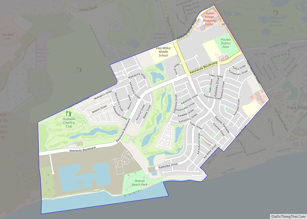
Ocean Pointe is a housing development and a census-designated place (CDP) located in the ʻEwa District and the City & County of Honolulu on the leeward side of Oʻahu in Hawaiʻi about fifteen miles (24 km) from Honolulu. As of the 2010 Census, the CDP had a total population of 8,361. This general area was previously ... Read more
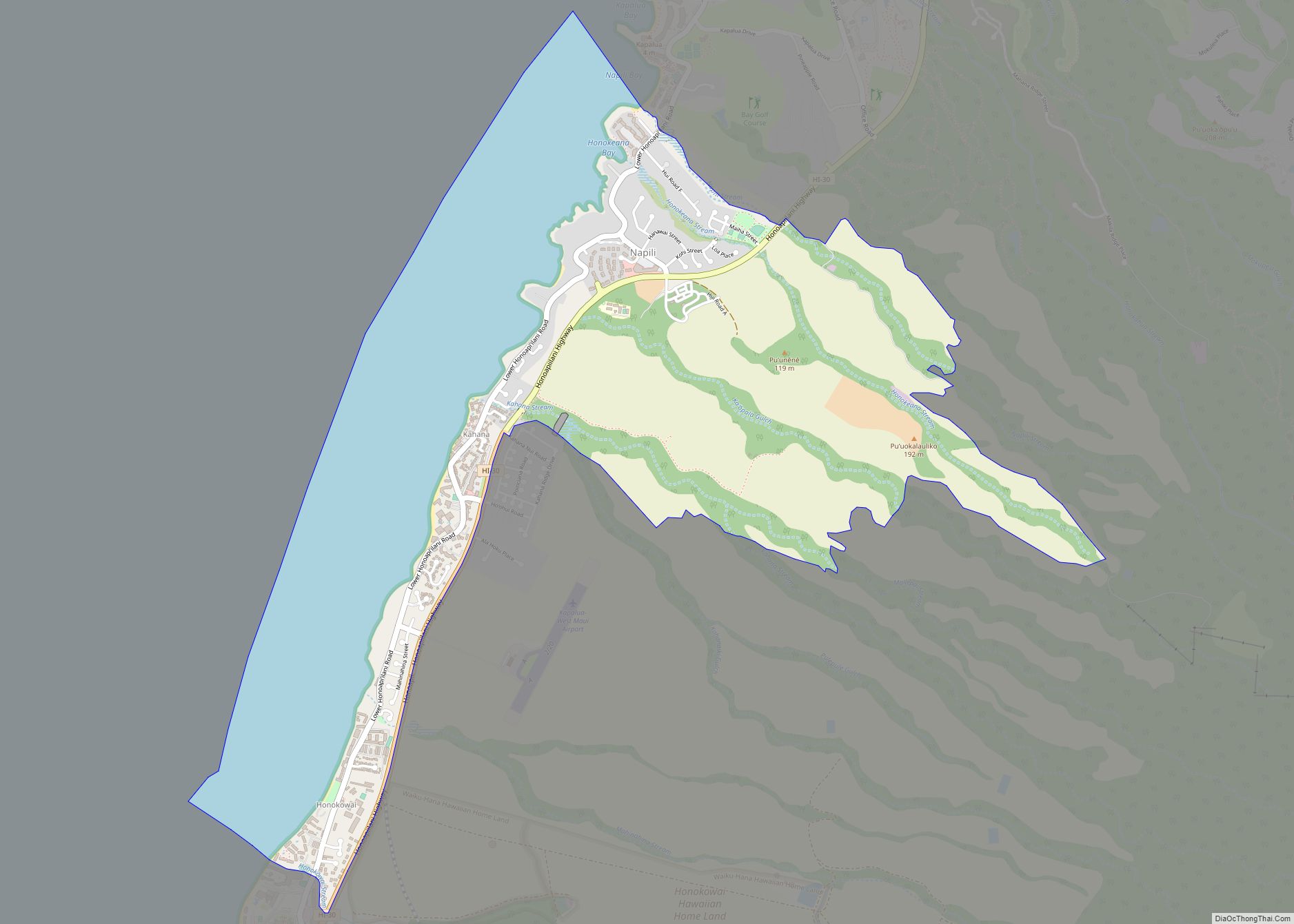
Napili-Honokowai (Hawaiian: Nāpili-Honokōwai) is a census-designated place (CDP) in Maui County, Hawaii, United States. The population was 7,042 at the 2020 census. Napili-Honokowai CDP overview: Name: Napili-Honokowai CDP LSAD Code: 57 LSAD Description: CDP (suffix) State: Hawaii County: Maui County Total Area: 4.24 sq mi (10.98 km²) Land Area: 2.60 sq mi (6.73 km²) Water Area: 1.64 sq mi (4.25 km²) Total Population: 7,042 ... Read more
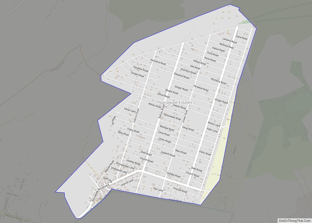
Nānāwale Estates (also spelled “Nānāwale Estates”) is a census-designated place (CDP) in Hawaiʻi County, Hawaii, United States located in the District of Puna. The population was 1,426 at the 2010 census, up from 1,073 at the 2000 census. Nanawale Estates CDP overview: Name: Nanawale Estates CDP LSAD Code: 57 LSAD Description: CDP (suffix) State: Hawaii ... Read more
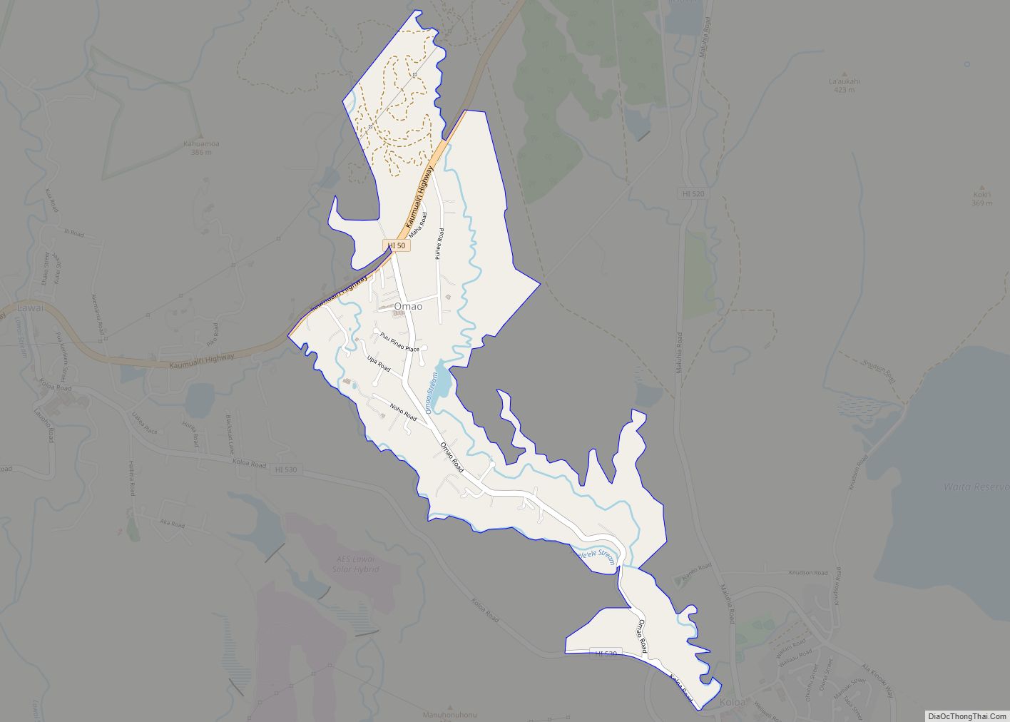
ʻŌmaʻo (literally, “green” in Hawaiian) is a census-designated place (CDP) in Kauaʻi County, Hawaiʻi, United States. The population was 1,346 at the 2020 census. Omao CDP overview: Name: Omao CDP LSAD Code: 57 LSAD Description: CDP (suffix) State: Hawaii County: Kauai County Elevation: 587 ft (179 m) Total Area: 1.28 sq mi (3.32 km²) Land Area: 1.27 sq mi (3.28 km²) Water Area: ... Read more
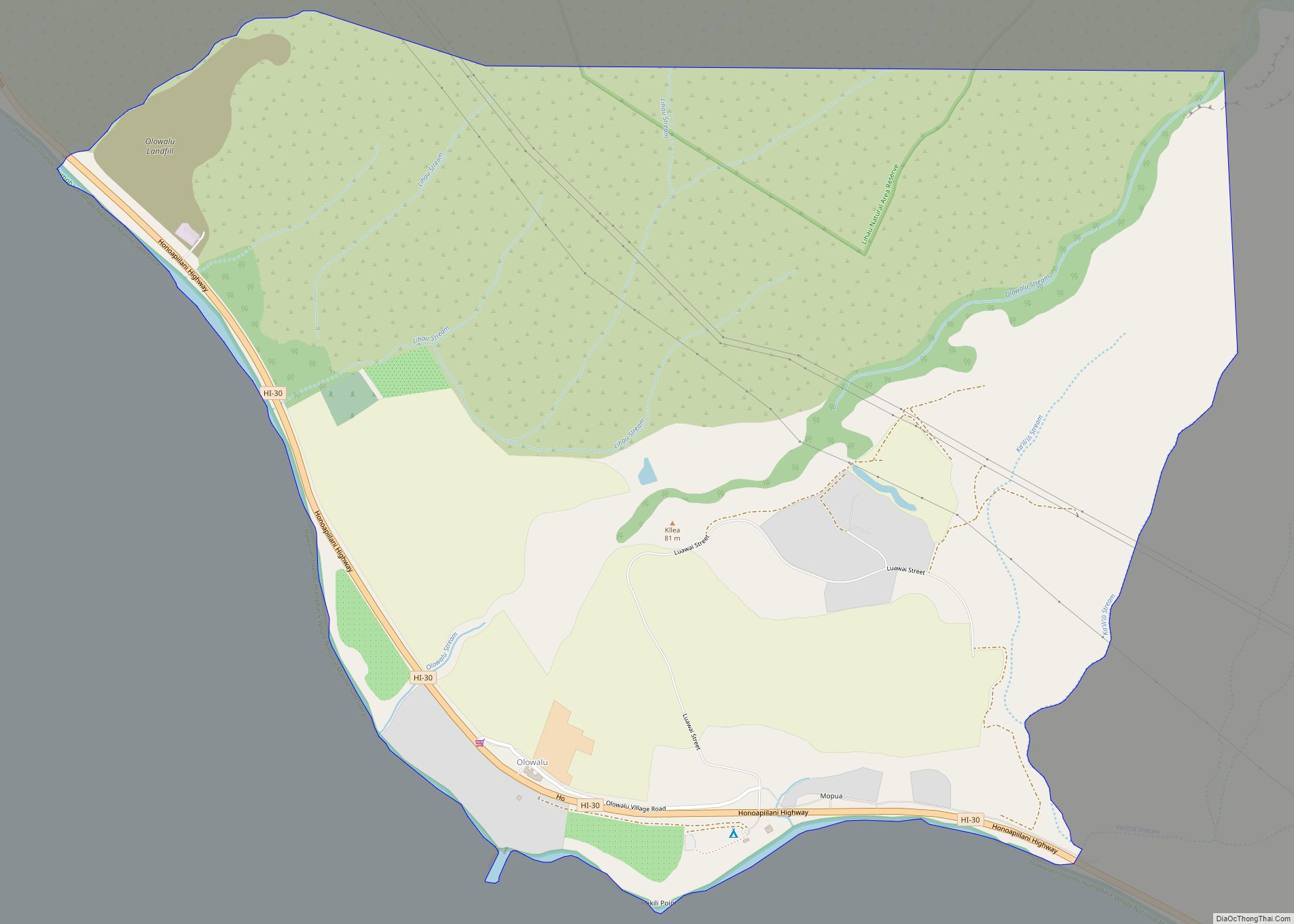
Olowalu is a community on the west side of the island of Maui in the state of Hawaii. It is located about 4 miles (6 km) south of Lahaina on the Honoapiʻilani Highway. It is a census-designated place (CDP), with a population at the 2020 census of 100. It once sustained a large population, governed by ... Read more
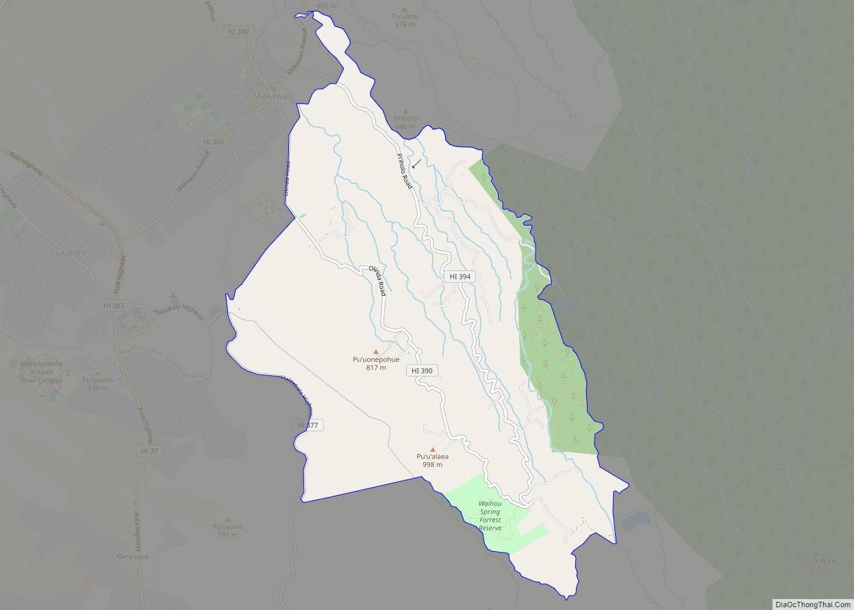
Olinda is an agricultural and residential community on the island of Maui in the U.S. state of Hawaii, located approximately 2 miles (3 km) southeast of Makawao. It ranges in elevation from 1,800 to 4,200 feet (550 to 1,280 m) on the northern slopes of Haleakala. It is a census-designated place, with a population of 1,188 at ... Read more
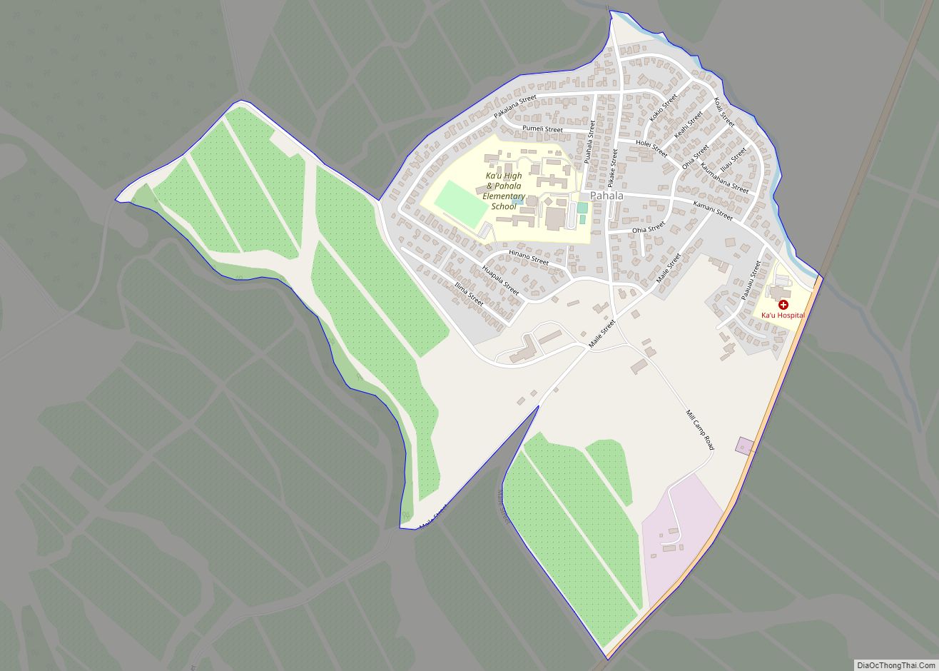
Pahala is a census-designated place (CDP) in Hawaiʻi County, Hawaiʻi, United States. The population was 1,403 at the 2020 census. Pahala CDP overview: Name: Pahala CDP LSAD Code: 57 LSAD Description: CDP (suffix) State: Hawaii County: Hawaii County Elevation: 920 ft (280 m) Total Area: 0.64 sq mi (1.66 km²) Land Area: 0.64 sq mi (1.66 km²) Water Area: 0.00 sq mi (0.00 km²) Total Population: ... Read more
