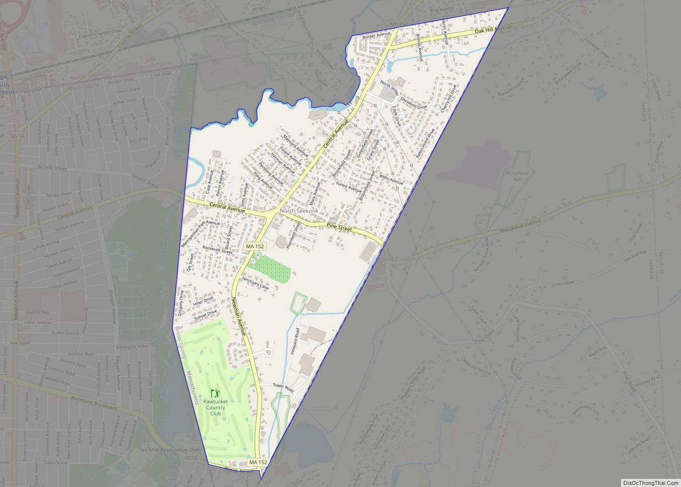
North Seekonk is a census-designated place (CDP) in the town of Seekonk in Bristol County, Massachusetts, United States. The population was 2,643 at the 2010 census. North Seekonk CDP overview: Name: North Seekonk CDP LSAD Code: 57 LSAD Description: CDP (suffix) State: Massachusetts County: Bristol County Elevation: 85 ft (26 m) Total Area: 1.43 sq mi (3.69 km²) Land Area: ... Read more
Massachusetts Cities and Places
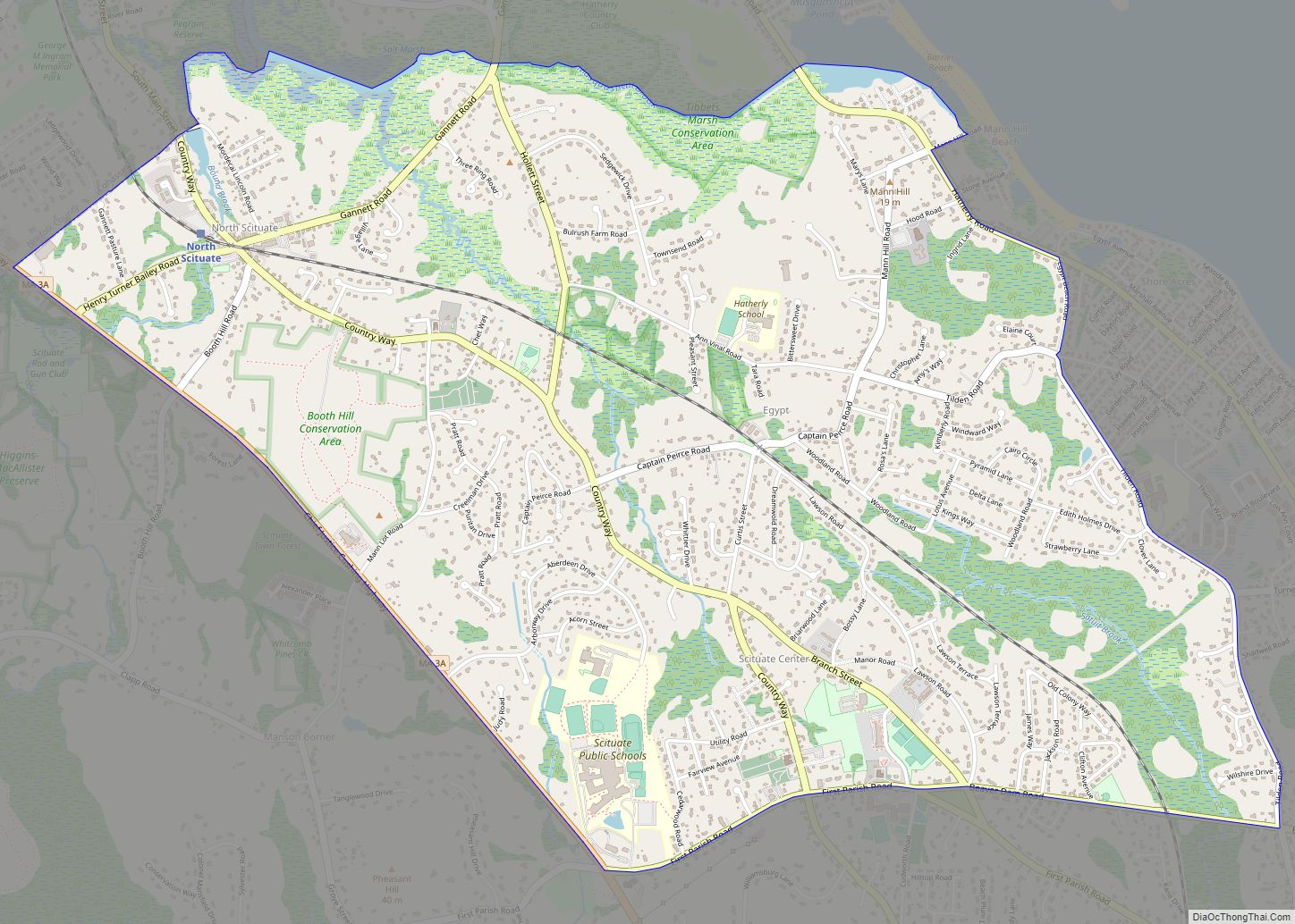
North Scituate is a census-designated place (CDP) in the town of Scituate in Plymouth County, Massachusetts, United States. The population was 5,077 at the 2010 census. It was formerly known as Gannet Corner. North Scituate CDP overview: Name: North Scituate CDP LSAD Code: 57 LSAD Description: CDP (suffix) State: Massachusetts County: Plymouth County Elevation: 13 ft ... Read more
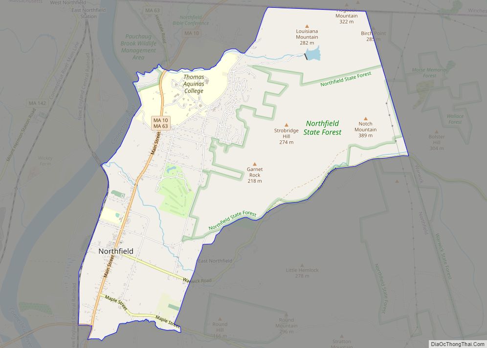
Northfield is a census-designated place (CDP) in the town of Northfield in Franklin County, Massachusetts, United States. The population was 1,089 at the 2010 census. It is part of the Springfield, Massachusetts Metropolitan Statistical Area. It is also home to the former Northfield campus of Northfield Mount Hermon School. Northfield CDP overview: Name: Northfield CDP ... Read more
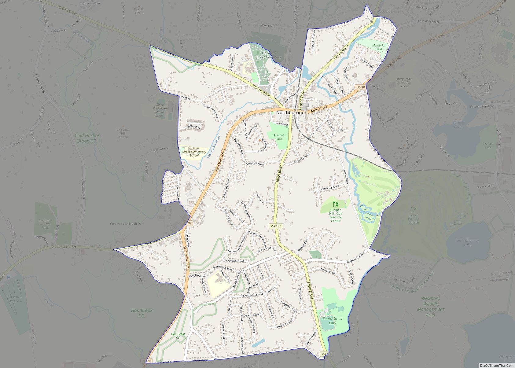
Northborough is a census-designated place (CDP) in the town of Northborough in Worcester County, Massachusetts, United States. The population was 6,167 at the 2010 census. Northborough CDP overview: Name: Northborough CDP LSAD Code: 57 LSAD Description: CDP (suffix) State: Massachusetts County: Worcester County Elevation: 302 ft (92 m) Total Area: 3.31 sq mi (8.58 km²) Land Area: 3.29 sq mi (8.51 km²) Water ... Read more
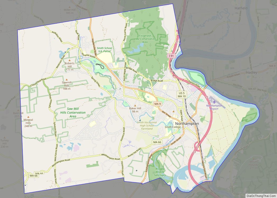
The city of Northampton /nɔːrθˈhæmptən/ is the county seat of Hampshire County, Massachusetts, United States. As of the 2020 census, the population of Northampton (including its outer villages, Florence and Leeds) was 29,571. Northampton is known as an academic, artistic, musical, and countercultural hub. It features a large politically liberal community along with numerous alternative ... Read more
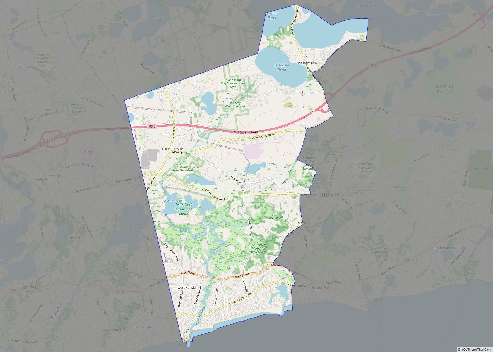
Northwest Harwich is a census-designated place (CDP) in the town of Harwich in Barnstable County, Massachusetts, United States. The population was 3,929 at the 2010 census. The CDP includes the Harwich villages of West Harwich, North Harwich, and Pleasant Lake, as well as a portion of the mailing area for Harwich Port. Northwest Harwich CDP ... Read more
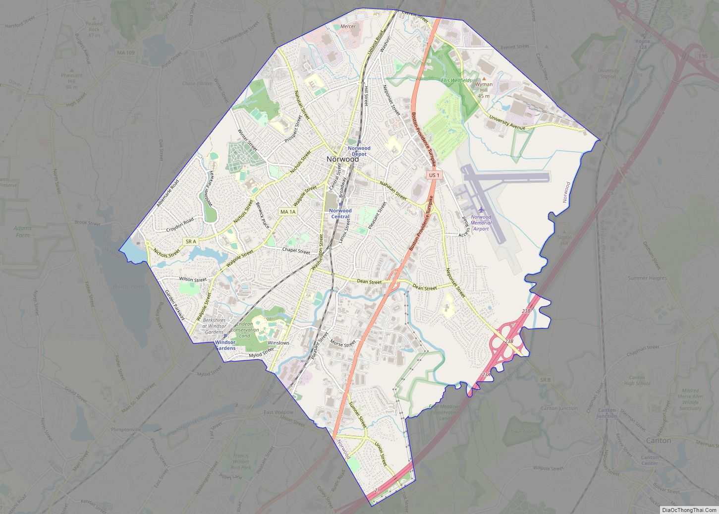
Norwood is a town and census-designated place in Norfolk County, Massachusetts, United States. Norwood is part of the Greater Boston area. As of the 2020 census, the population was 31,611. The town was named after Norwood, England. Norwood is on the Neponset River, which runs all the way to Boston Harbor from Foxborough. Norwood CDP ... Read more
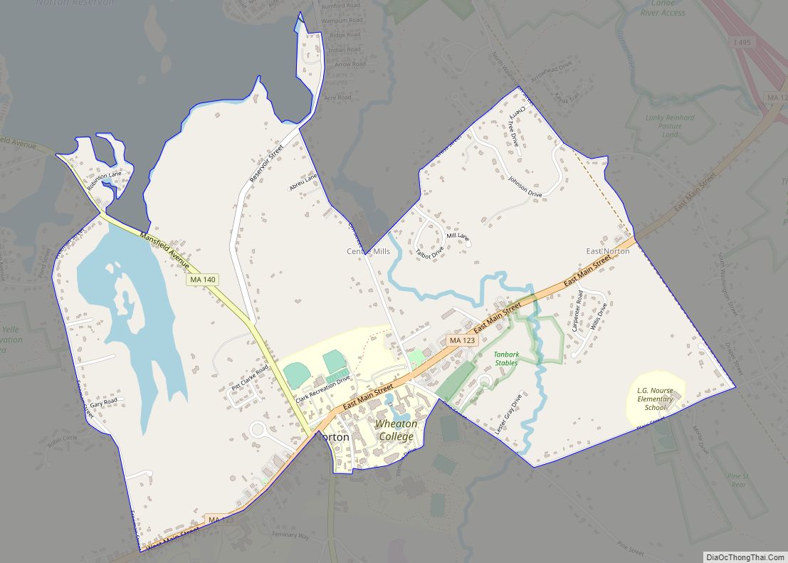
Norton Center is a census-designated place (CDP) in the town of Norton in Bristol County, Massachusetts, United States. The population was 2,671 at the 2010 census. Norton Center CDP overview: Name: Norton Center CDP LSAD Code: 57 LSAD Description: CDP (suffix) State: Massachusetts County: Bristol County Total Area: 1.80 sq mi (4.67 km²) Land Area: 1.70 sq mi (4.39 km²) Water ... Read more
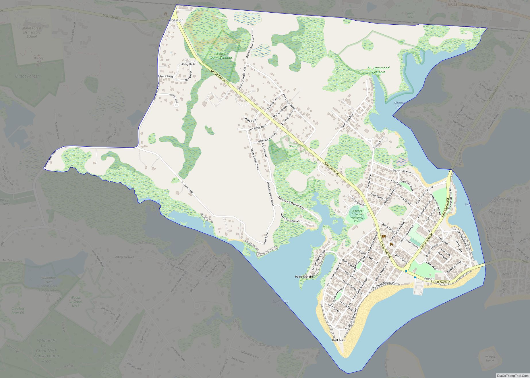
Onset is a census-designated place (CDP) in the town of Wareham, Massachusetts, United States. The population was 1,573 at the 2010 census. Onset CDP overview: Name: Onset CDP LSAD Code: 57 LSAD Description: CDP (suffix) State: Massachusetts County: Plymouth County Elevation: 10 ft (3 m) Total Area: 1.29 sq mi (3.35 km²) Land Area: 1.08 sq mi (2.79 km²) Water Area: 0.22 sq mi (0.56 km²) ... Read more
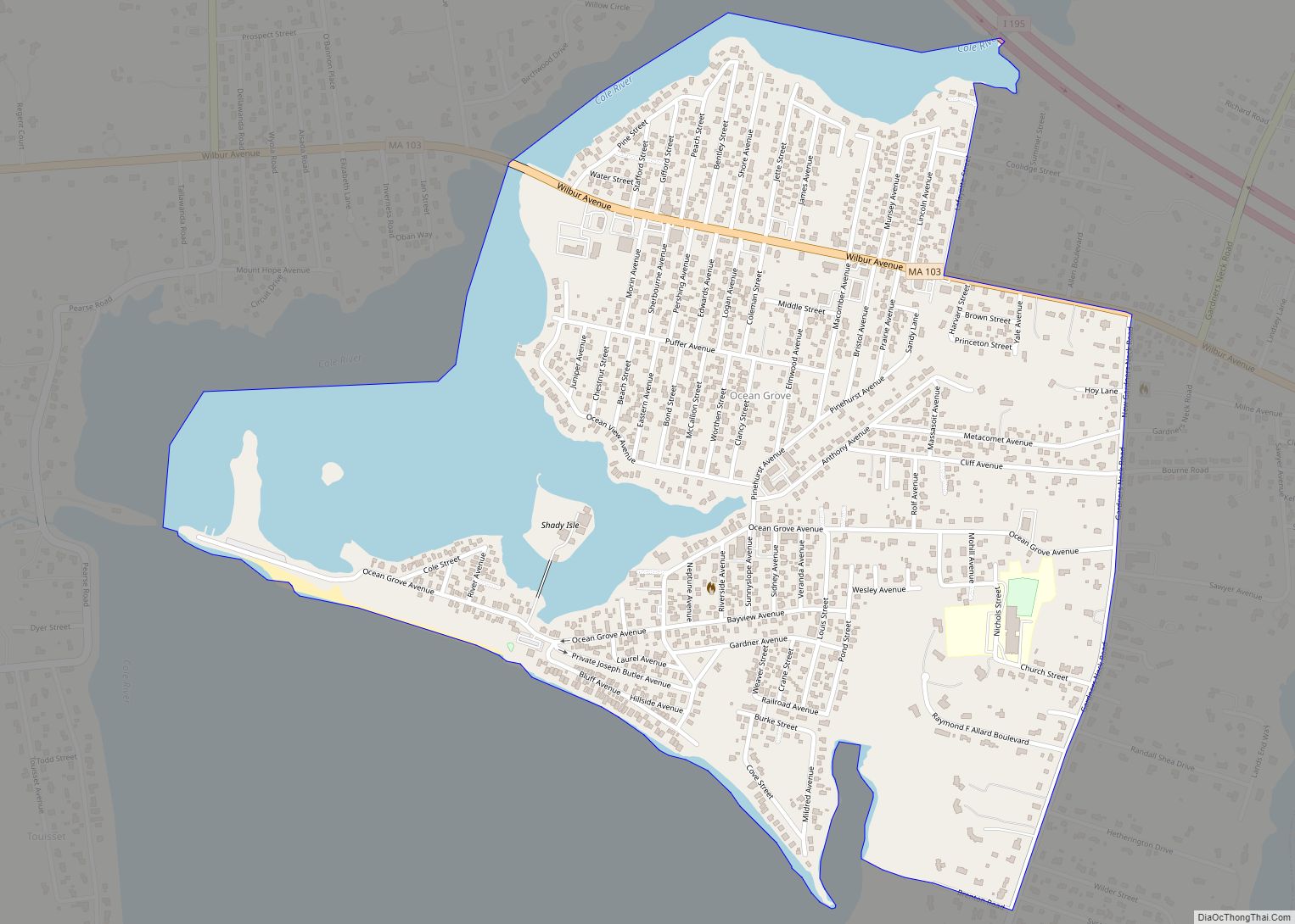
Ocean Grove is a census-designated place (CDP) in the town of Swansea in Bristol County, Massachusetts, United States, on the north shore of Mount Hope Bay near the Cole River. The population was 2,811 at the 2010 census, and 2,904 as of the 2020 census. Ocean Grove CDP overview: Name: Ocean Grove CDP LSAD Code: ... Read more
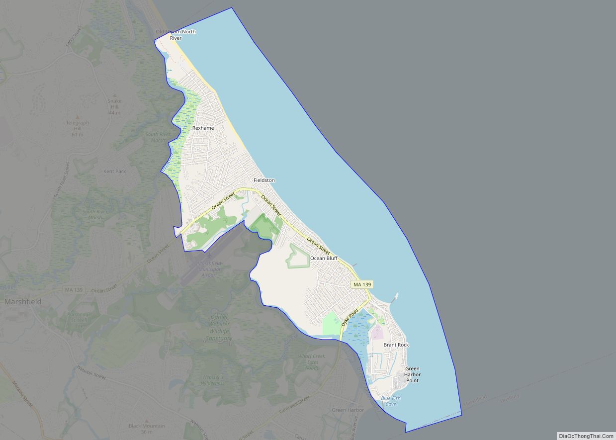
Ocean Bluff-Brant Rock is a census-designated place (CDP) in Plymouth County, Massachusetts, United States, composed of the neighborhoods of Ocean Bluff, Brant Rock, Fieldston, and Rexhame in the town of Marshfield. The population of the CDP was 4,970 at the 2010 census. Ocean Bluff-Brant Rock CDP overview: Name: Ocean Bluff-Brant Rock CDP LSAD Code: 57 ... Read more
Oxford is a census-designated place (CDP) in the town of Oxford in Worcester County, Massachusetts, United States. The population was 6,103 at the 2010 census. Oxford CDP overview: Name: Oxford CDP LSAD Code: 57 LSAD Description: CDP (suffix) State: Massachusetts County: Worcester County Elevation: 505 ft (154 m) Total Area: 3.69 sq mi (9.55 km²) Land Area: 3.46 sq mi (8.97 km²) Water ... Read more
