Map of Mountainair town
Mountainair is a town in Torrance County, New Mexico, United States. It was founded in 1902 by John Corbett, Colonel E. C. Manning, and Elias S. Stover. The population was 928 at the 2010 census. It is part of the Albuquerque Metropolitan Statistical Area. The main visitor center for Salinas Pueblo Missions National Monument is ... Read more
Map of Mountainair town
Map of Mountain View CDP, New Mexico
Mountain View is a census-designated place in Luna County, New Mexico, United States. Its population was 122 as of the 2010 census. Mountain View had a post office from 1911 to 1914. Like other areas in Luna County, the community is in the Deming Public Schools school district. Mountain View CDP overview: Name: Mountain View ... Read more
Map of Mountain View CDP, New Mexico
Map of Mosquero village
Mosquero is a village in Harding and San Miguel counties in the U.S. state of New Mexico. The population was 93 at the 2010 census, down from 120 in 2000. It is the county seat of Harding County; only a small portion of the village extends into San Miguel County. Mosquero village overview: Name: Mosquero ... Read more
Map of Mosquero village
Map of Morningside CDP, New Mexico
Morningside is an unincorporated community and census-designated place in Eddy County, New Mexico, United States. Its population was 367 as of the 2010 census. The community is located on the northern border of Artesia west of U.S. Route 285. Morningside CDP overview: Name: Morningside CDP LSAD Code: 57 LSAD Description: CDP (suffix) State: New Mexico ... Read more
Map of Morningside CDP, New Mexico
Map of Moriarty city
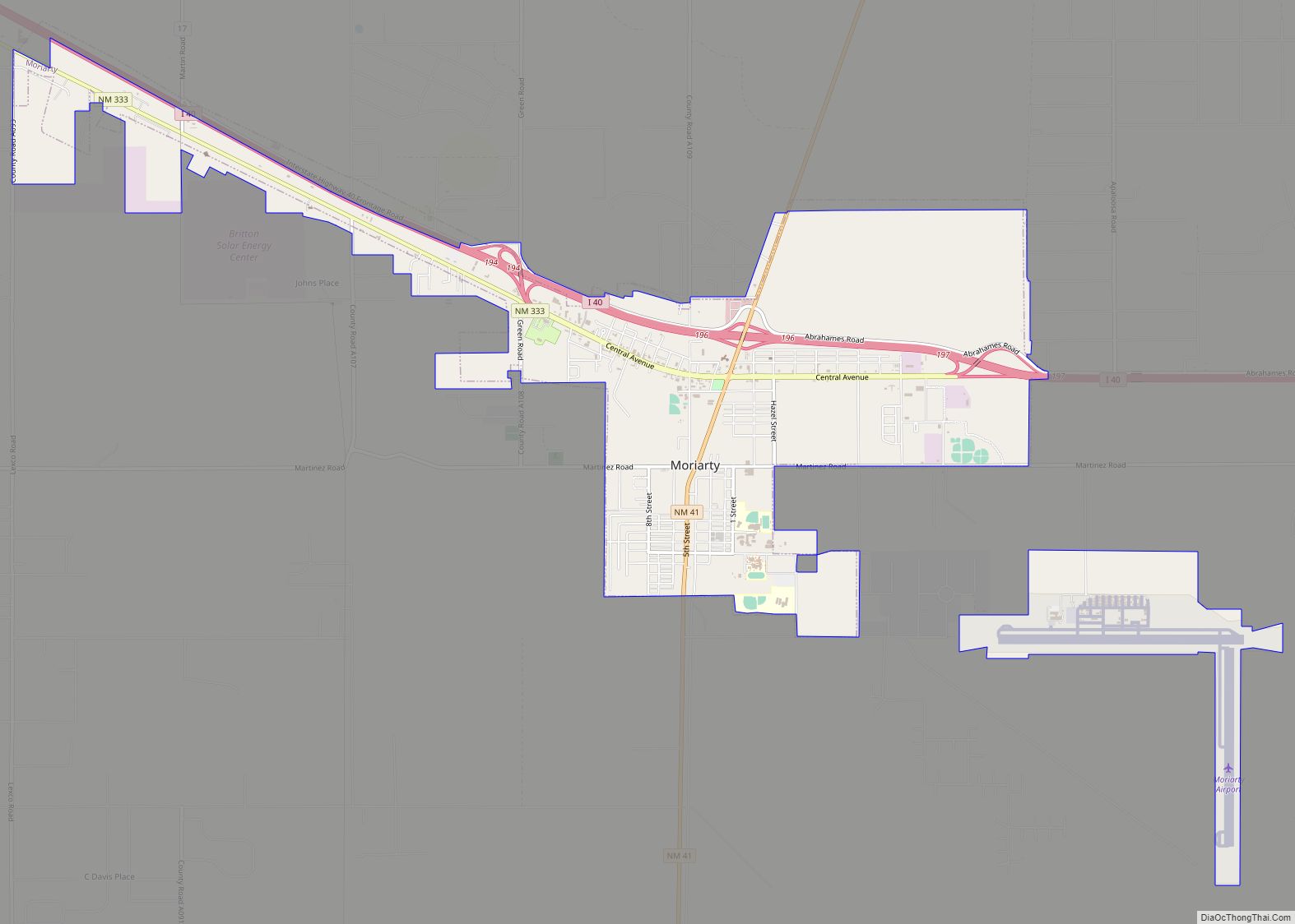
Moriarty is a town in Torrance County, New Mexico, United States. The population was 1,910 at the 2010 Census. It is part of the Albuquerque Metropolitan Statistical Area. Moriarty is about ten miles east of Edgewood, New Mexico, and shares a school district with the town, despite them being in separate counties (Edgewood is in ... Read more
Map of Moriarty city
Map of Mora CDP, New Mexico
Mora or Santa Gertrudis de lo de Mora is a census-designated place in, and the county seat of, Mora County, New Mexico. It is located about halfway between Las Vegas and Taos on Highway 518, at an altitude of 7,180 feet. The Republic of Texas performed a semi-official raid on Mora in 1843. Two short ... Read more
Map of Mora CDP, New Mexico
Map of Nara Visa CDP
Nara Visa is an unincorporated village and locus of a same-named census-designated place in Quay County, New Mexico, United States. It has the post office serving the ZIP code of 88430; while the village is not specifically tracked by the Census Department, the population of the entire ZCTA for 88430 was 212 at the 2000 ... Read more
Map of Nara Visa CDP
Map of Napi Headquarters CDP
Napi Headquarters CDP overview: Name: Napi Headquarters CDP LSAD Code: 57 LSAD Description: CDP (suffix) State: New Mexico County: San Juan County FIPS code: 3551035 Online Interactive Map Napi Headquarters online map. Source: Basemap layers from Google Map, Open Street Map (OSM), Arcgisonline, Wmflabs. Boundary Data from Database of Global Administrative Areas. Napi Headquarters location ... Read more
Map of Napi Headquarters CDP
Map of North Acomita Village CDP
North Acomita Village is a census-designated place (CDP) in Cibola County, New Mexico, United States. The population was 303 at the 2010 census. North Acomita Village CDP overview: Name: North Acomita Village CDP LSAD Code: 57 LSAD Description: CDP (suffix) State: New Mexico County: Cibola County Elevation: 6,047 ft (1,843 m) Total Area: 3.87 sq mi (10.03 km²) Land Area: ... Read more
Map of North Acomita Village CDP
Map of Nogal CDP
Nogal is a census-designated place and unincorporated community in Lincoln County, New Mexico, United States. Its population was 96 as of the 2010 census. Nogal has a post office with ZIP code 88341, which opened on November 9, 1880. Nogal CDP overview: Name: Nogal CDP LSAD Code: 57 LSAD Description: CDP (suffix) State: New Mexico ... Read more
Map of Nogal CDP
Map of Newkirk CDP, New Mexico
Newkirk is a village in Guadalupe County, New Mexico, United States. The community is located at the junction of Interstate 40 and New Mexico State Road 129; historic U.S. Route 66 also passes through the community. Its population was 7 as of the 2010 census. Newkirk has a post office serving ZIP Code 88431, and ... Read more
Map of Newkirk CDP, New Mexico
Map of Newcomb CDP
Newcomb (Navajo: Bis Deezʼáhí) is a census-designated place (CDP) in San Juan County, New Mexico, United States. The population was 387 at the 2000 census. It is part of the Farmington Metropolitan Statistical Area. It is on the Trails of the Ancients Byway, one of the designated New Mexico Scenic Byways. Newcomb was founded in ... Read more
Map of Newcomb CDP