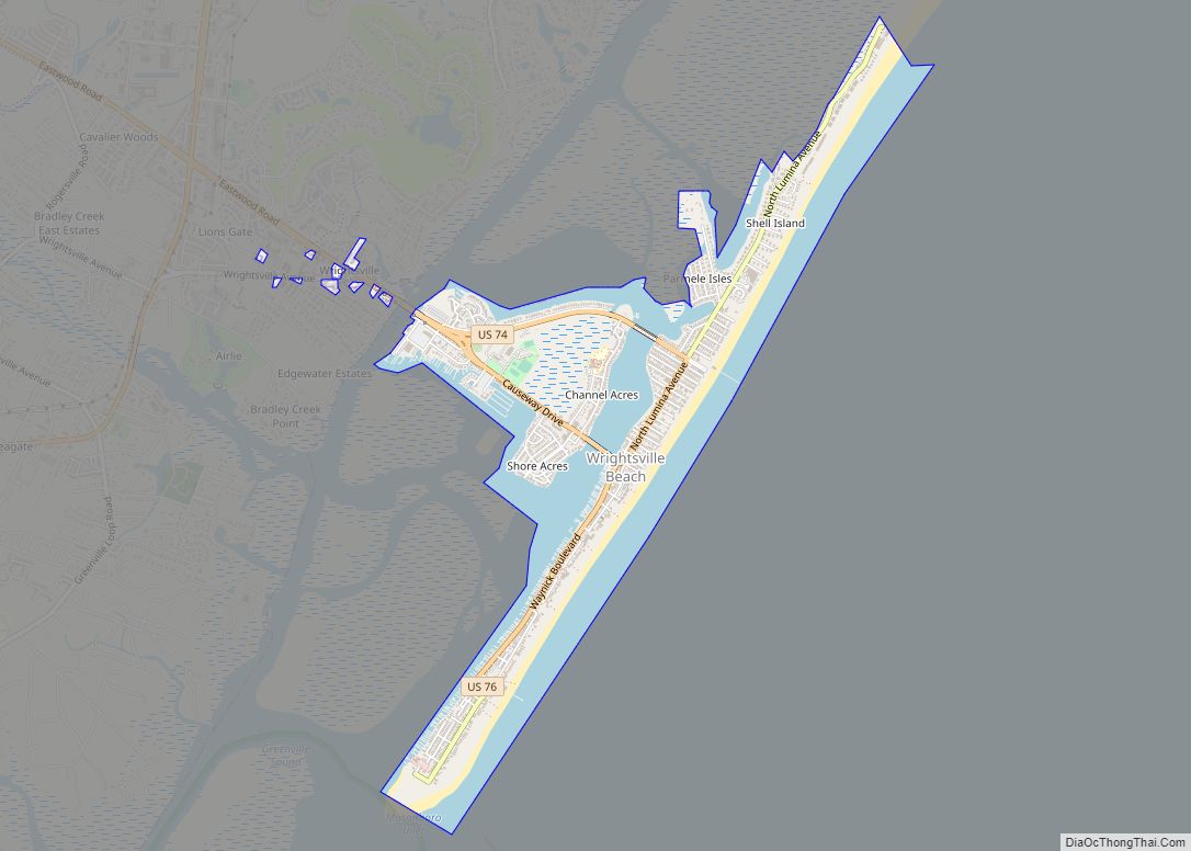
Wrightsville Beach is a town in New Hanover County, North Carolina, United States. Wrightsville Beach is just east of Wilmington and is part of the Wilmington Metropolitan Statistical Area. The population was 2,477 at the 2010 census. The town consists of a 4-mile (6 km) long beach island, an interior island called Harbor Island, and pockets ... Read more
North Carolina Cities and Places
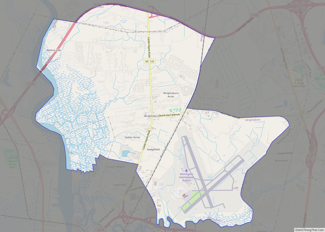
Wrightsboro is a census-designated place (CDP) in New Hanover County, North Carolina, United States. At the 2010 census, the population was 4,896, up from 4,496 in 2000. It is part of the Wilmington Metropolitan Statistical Area. Wrightsboro CDP overview: Name: Wrightsboro CDP LSAD Code: 57 LSAD Description: CDP (suffix) State: North Carolina County: New Hanover ... Read more
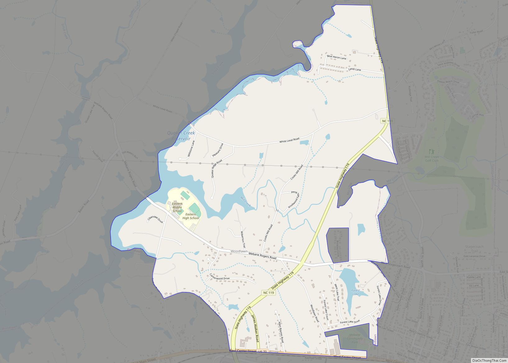
Woodlawn is a census-designated place in Alamance County, North Carolina, United States. Woodlawn CDP overview: Name: Woodlawn CDP LSAD Code: 57 LSAD Description: CDP (suffix) State: North Carolina County: Alamance County Elevation: 607 ft (185 m) Total Area: 3.57 sq mi (9.24 km²) Land Area: 3.29 sq mi (8.53 km²) Water Area: 0.28 sq mi (0.71 km²) Total Population: 912 Population Density: 276.87/sq mi (106.90/km²) ZIP code: ... Read more
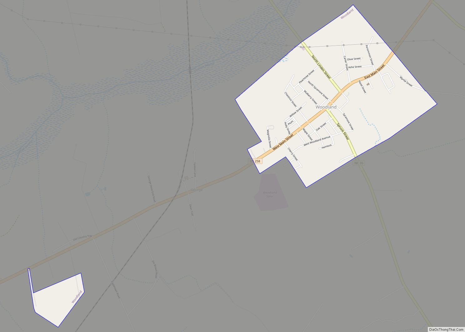
Woodland is a town in Northampton County, North Carolina, United States. The population was 809 at the 2010 census. It is part of the Roanoke Rapids, North Carolina Micropolitan Statistical Area. Woodland town overview: Name: Woodland town LSAD Code: 43 LSAD Description: town (suffix) State: North Carolina County: Northampton County Elevation: 69 ft (21 m) Total Area: ... Read more
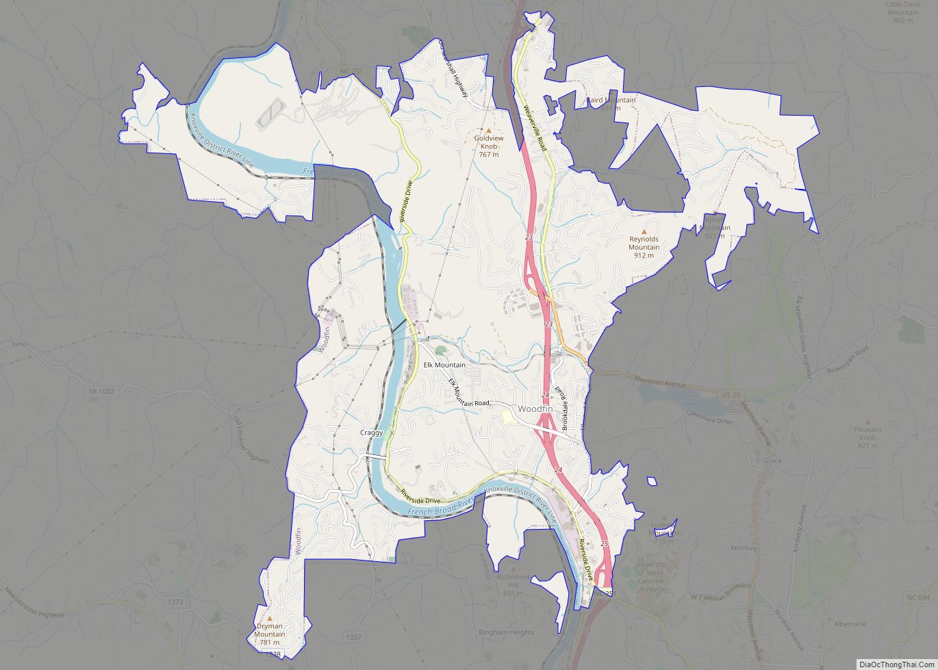
Woodfin is a town in Buncombe County, North Carolina, United States. The population was 6,123 as of the 2010 census. It is part of the Asheville Metropolitan Statistical Area. The town is named for Nicholas Washington Woodfin, a renowned lawyer and statesman of early North Carolina, under whom Governor Zebulon Vance clerked as an attorney. ... Read more
