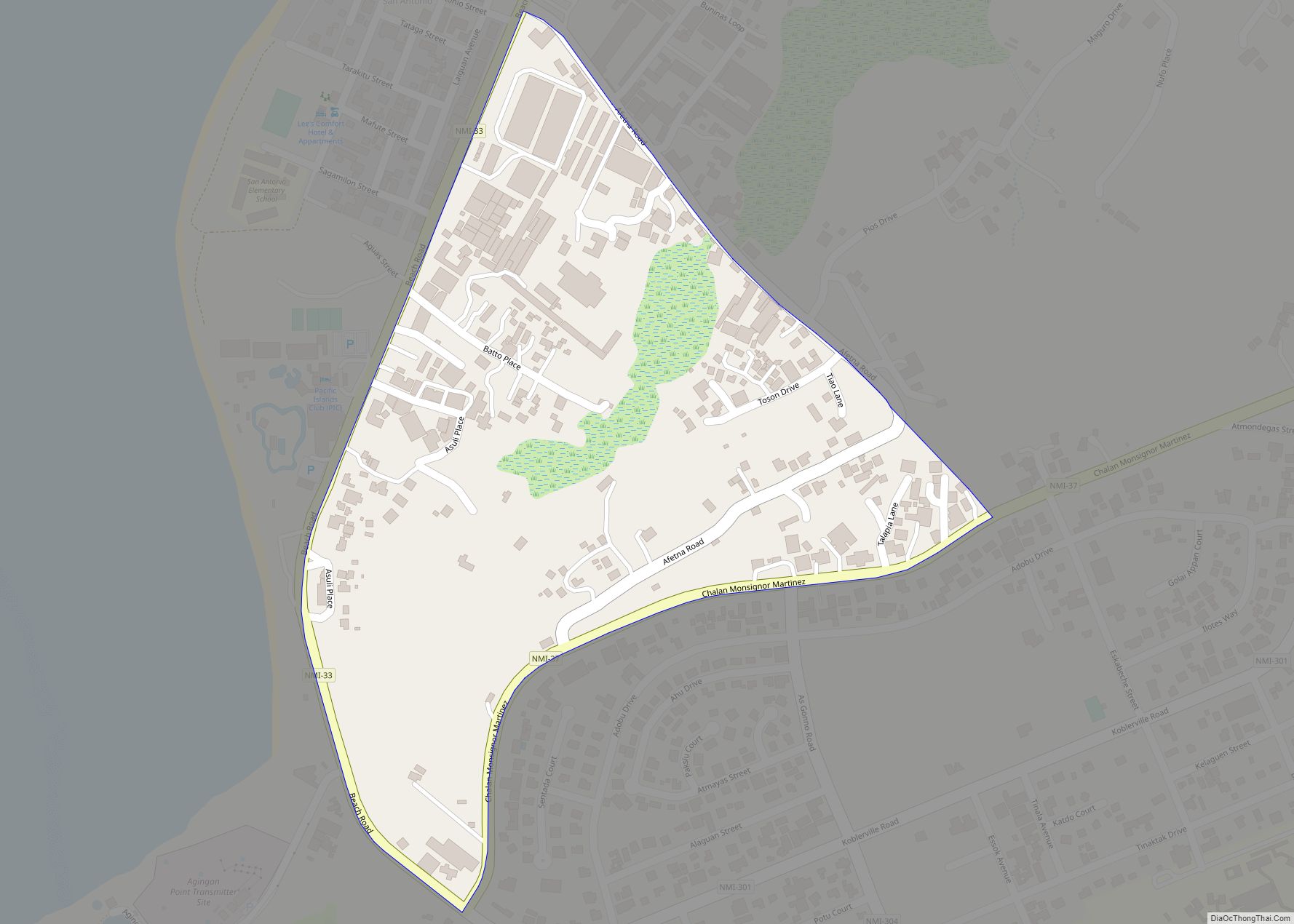
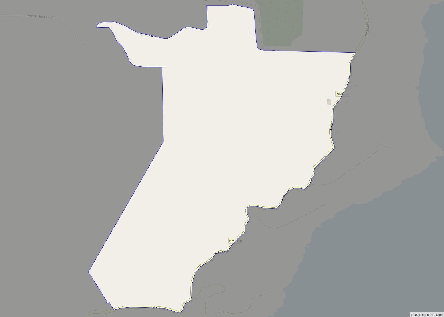
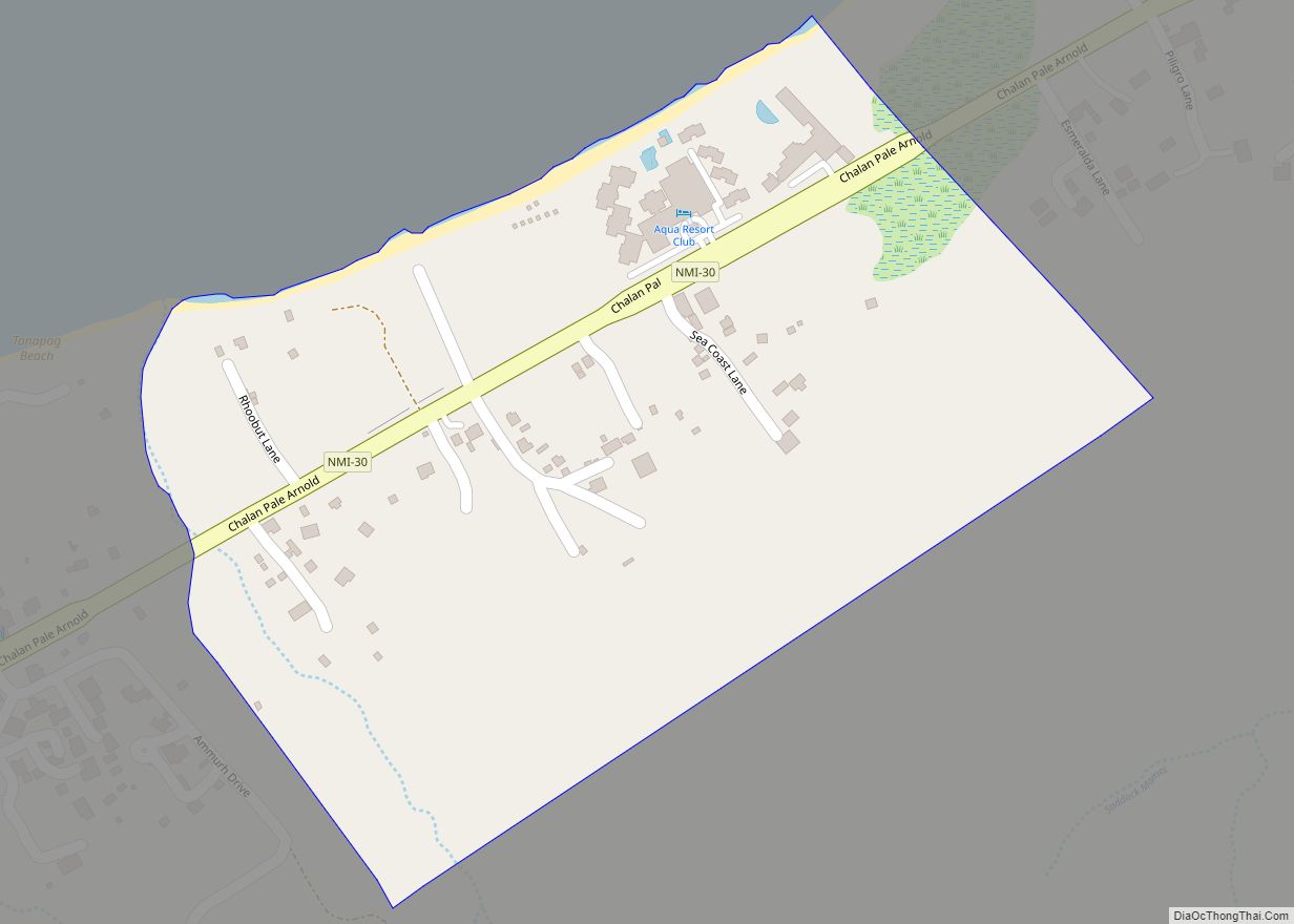
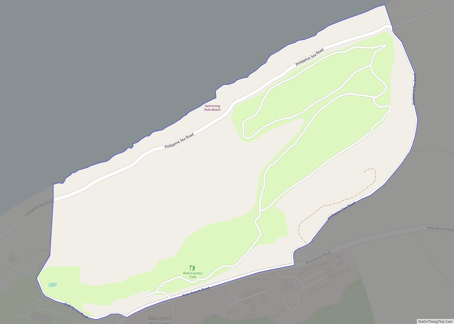
Afetnas village overview: Name: Afetnas village LSAD Code: 47 LSAD Description: village (suffix) FIPS code: 6900450 Online Interactive Map Afetnas online map. Source: Basemap layers from Google Map, Open Street Map (OSM), Arcgisonline, Wmflabs. Boundary Data from Database of Global Administrative Areas. Afetnas location map. Where is Afetnas village? Afetnas Road Map Afetnas city Satellite ... Read more
Northern Mariana Islands Cities and Places
Afatung village overview: Name: Afatung village LSAD Code: 47 LSAD Description: village (suffix) FIPS code: 6900400 Online Interactive Map Afatung online map. Source: Basemap layers from Google Map, Open Street Map (OSM), Arcgisonline, Wmflabs. Boundary Data from Database of Global Administrative Areas. Afatung location map. Where is Afatung village? Afatung Road Map Afatung city Satellite ... Read more
Achugao village overview: Name: Achugao village LSAD Code: 47 LSAD Description: village (suffix) FIPS code: 6900300 Online Interactive Map Achugao online map. Source: Basemap layers from Google Map, Open Street Map (OSM), Arcgisonline, Wmflabs. Boundary Data from Database of Global Administrative Areas. Achugao location map. Where is Achugao village? Achugao Road Map Achugao city Satellite ... Read more
Agusan village overview: Name: Agusan village LSAD Code: 47 LSAD Description: village (suffix) FIPS code: 6901170 Online Interactive Map Agusan online map. Source: Basemap layers from Google Map, Open Street Map (OSM), Arcgisonline, Wmflabs. Boundary Data from Database of Global Administrative Areas. Agusan location map. Where is Agusan village? Agusan Road Map Agusan city Satellite ... Read more
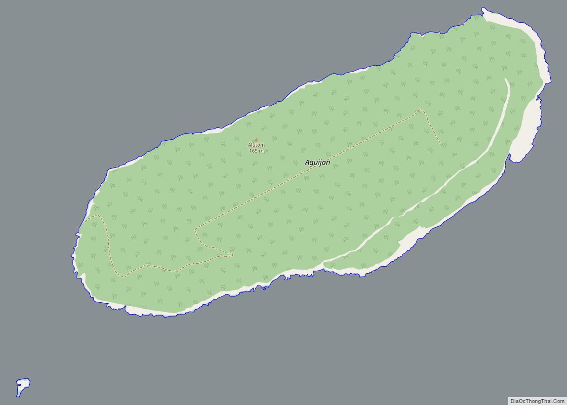
Aguijan village overview: Name: Aguijan village LSAD Code: 47 LSAD Description: village (suffix) FIPS code: 6901150 Online Interactive Map Aguijan online map. Source: Basemap layers from Google Map, Open Street Map (OSM), Arcgisonline, Wmflabs. Boundary Data from Database of Global Administrative Areas. Aguijan location map. Where is Aguijan village? Aguijan Road Map Aguijan city Satellite ... Read more
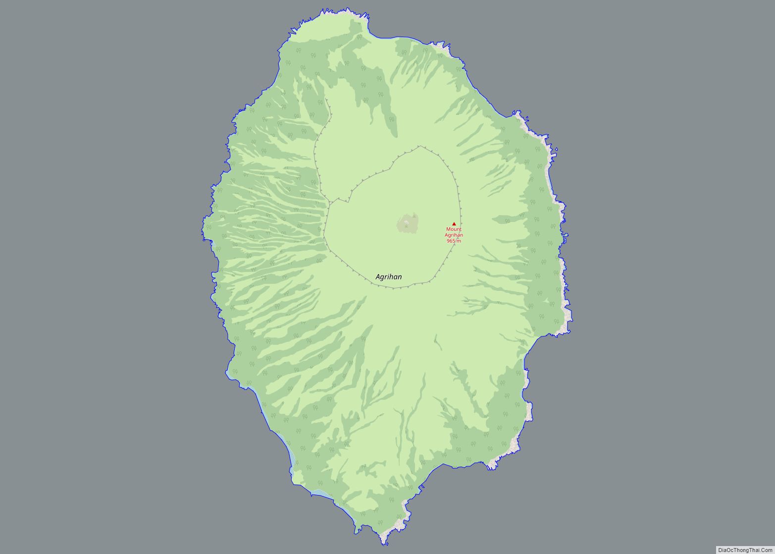
Agrihan village overview: Name: Agrihan village LSAD Code: 47 LSAD Description: village (suffix) FIPS code: 6901100 Online Interactive Map Agrihan online map. Source: Basemap layers from Google Map, Open Street Map (OSM), Arcgisonline, Wmflabs. Boundary Data from Database of Global Administrative Areas. Agrihan location map. Where is Agrihan village? Agrihan Road Map Agrihan city Satellite ... Read more
Agingan village overview: Name: Agingan village LSAD Code: 47 LSAD Description: village (suffix) FIPS code: 6900600 Online Interactive Map Agingan online map. Source: Basemap layers from Google Map, Open Street Map (OSM), Arcgisonline, Wmflabs. Boundary Data from Database of Global Administrative Areas. Agingan location map. Where is Agingan village? Agingan Road Map Agingan city Satellite ... Read more
Agatasi (Payapai) village overview: Name: Agatasi (Payapai) village LSAD Code: 47 LSAD Description: village (suffix) FIPS code: 6900500 Online Interactive Map Agatasi online map. Source: Basemap layers from Google Map, Open Street Map (OSM), Arcgisonline, Wmflabs. Boundary Data from Database of Global Administrative Areas. Agatasi location map. Where is Agatasi (Payapai) village? Agatasi Road Map ... Read more
Annex F village overview: Name: Annex F village LSAD Code: 47 LSAD Description: village (suffix) FIPS code: 6901300 Online Interactive Map Annex F online map. Source: Basemap layers from Google Map, Open Street Map (OSM), Arcgisonline, Wmflabs. Boundary Data from Database of Global Administrative Areas. Annex F location map. Where is Annex F village? Annex ... Read more
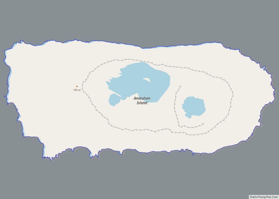
Anatahan village overview: Name: Anatahan village LSAD Code: 47 LSAD Description: village (suffix) FIPS code: 6901280 Online Interactive Map Anatahan online map. Source: Basemap layers from Google Map, Open Street Map (OSM), Arcgisonline, Wmflabs. Boundary Data from Database of Global Administrative Areas. Anatahan location map. Where is Anatahan village? Anatahan Road Map Anatahan city Satellite ... Read more
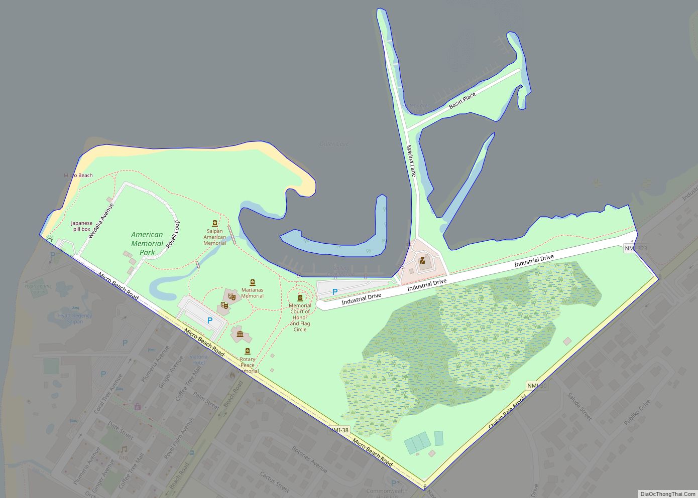
American Memorial Park village overview: Name: American Memorial Park village LSAD Code: 47 LSAD Description: village (suffix) FIPS code: 6901250 Online Interactive Map American Memorial Park online map. Source: Basemap layers from Google Map, Open Street Map (OSM), Arcgisonline, Wmflabs. Boundary Data from Database of Global Administrative Areas. American Memorial Park location map. Where is ... Read more
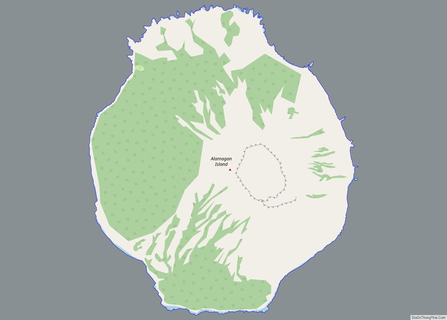
Alamagan village overview: Name: Alamagan village LSAD Code: 47 LSAD Description: village (suffix) FIPS code: 6901220 Online Interactive Map Alamagan online map. Source: Basemap layers from Google Map, Open Street Map (OSM), Arcgisonline, Wmflabs. Boundary Data from Database of Global Administrative Areas. Alamagan location map. Where is Alamagan village? Alamagan Road Map Alamagan city Satellite ... Read more
