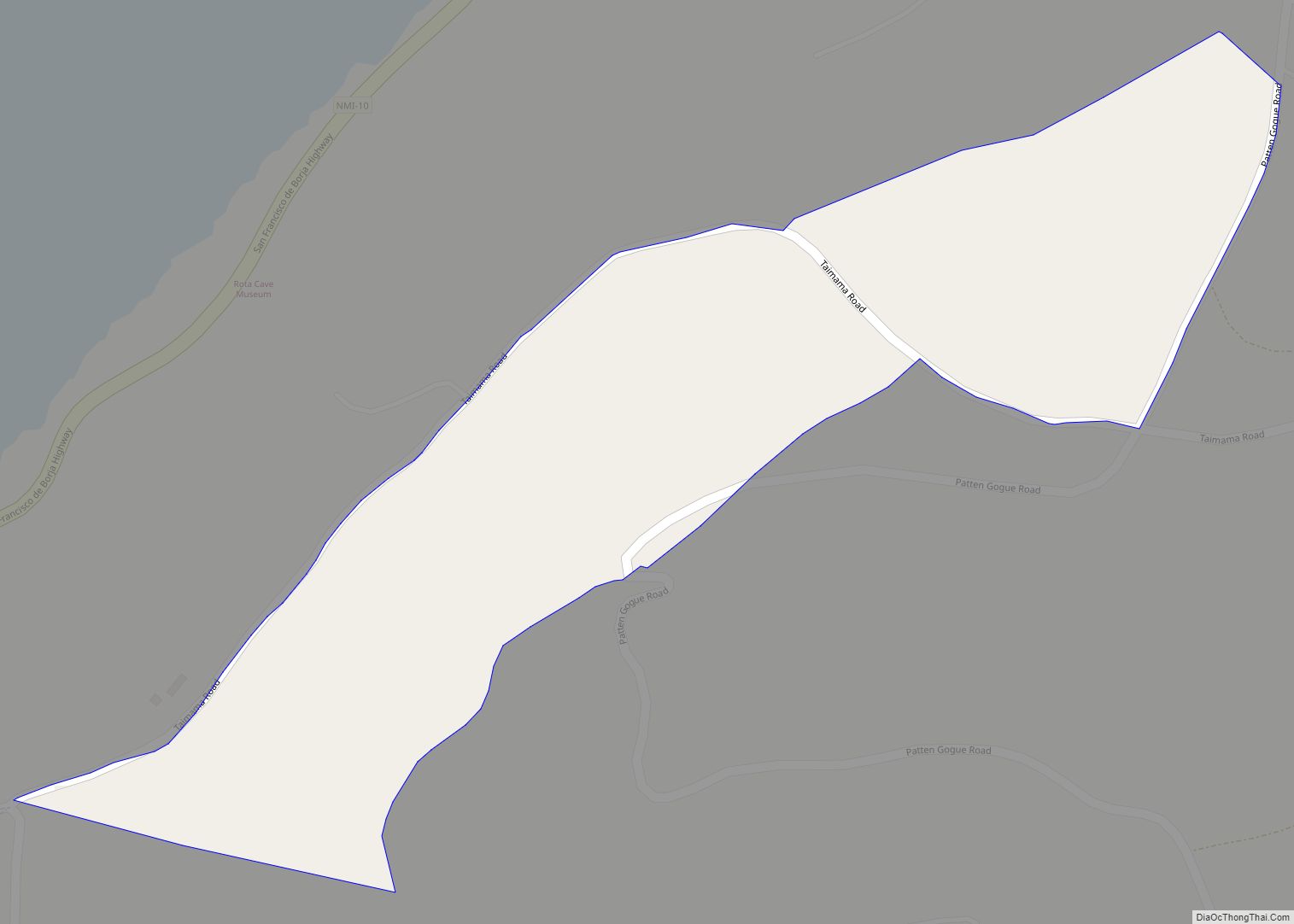
Sailigai Papa village overview: Name: Sailigai Papa village LSAD Code: 47 LSAD Description: village (suffix) FIPS code: 6925300 Online Interactive Map Sailigai Papa online map. Source: Basemap layers from Google Map, Open Street Map (OSM), Arcgisonline, Wmflabs. Boundary Data from Database of Global Administrative Areas. Sailigai Papa location map. Where is Sailigai Papa village? Sailigai ... Read more
Northern Mariana Islands Cities and Places
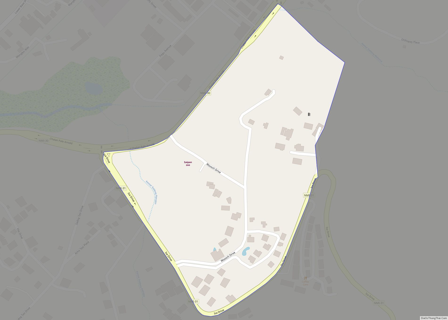
Sadog Tasi village overview: Name: Sadog Tasi village LSAD Code: 47 LSAD Description: village (suffix) FIPS code: 6925200 Online Interactive Map Sadog Tasi online map. Source: Basemap layers from Google Map, Open Street Map (OSM), Arcgisonline, Wmflabs. Boundary Data from Database of Global Administrative Areas. Sadog Tasi location map. Where is Sadog Tasi village? Sadog ... Read more
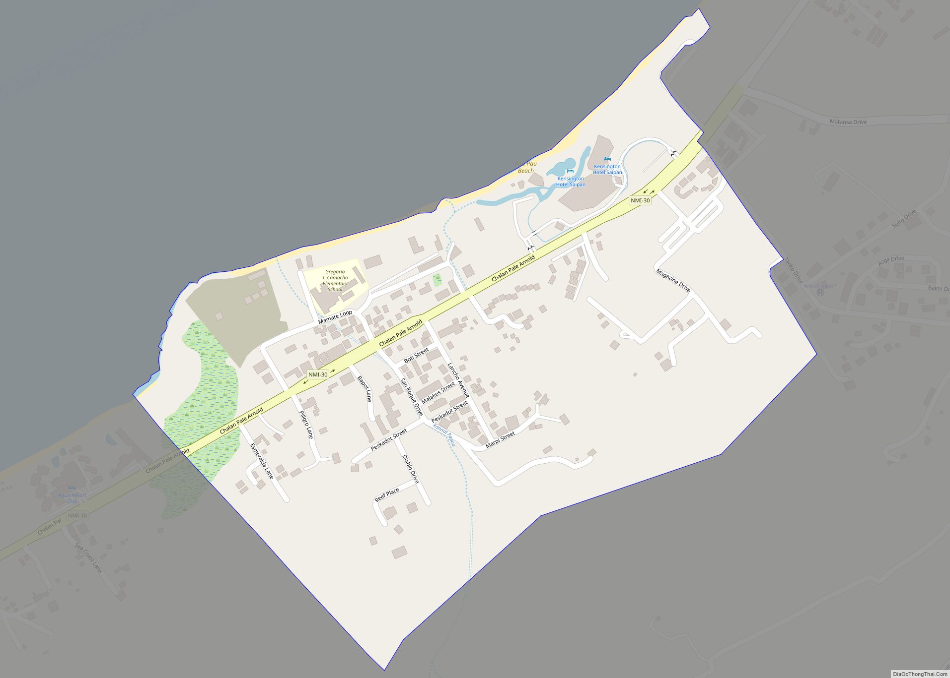
San Roque village overview: Name: San Roque village LSAD Code: 47 LSAD Description: village (suffix) FIPS code: 6953100 Online Interactive Map San Roque online map. Source: Basemap layers from Google Map, Open Street Map (OSM), Arcgisonline, Wmflabs. Boundary Data from Database of Global Administrative Areas. San Roque location map. Where is San Roque village? San ... Read more
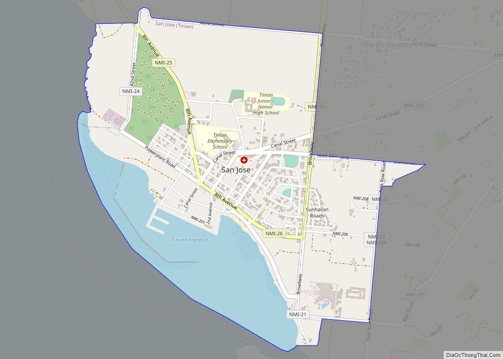
San Jose (Tinian Municipality) village overview: Name: San Jose (Tinian Municipality) village LSAD Code: 47 LSAD Description: village (suffix) FIPS code: 6947210 Online Interactive Map San Jose online map. Source: Basemap layers from Google Map, Open Street Map (OSM), Arcgisonline, Wmflabs. Boundary Data from Database of Global Administrative Areas. San Jose location map. Where is ... Read more
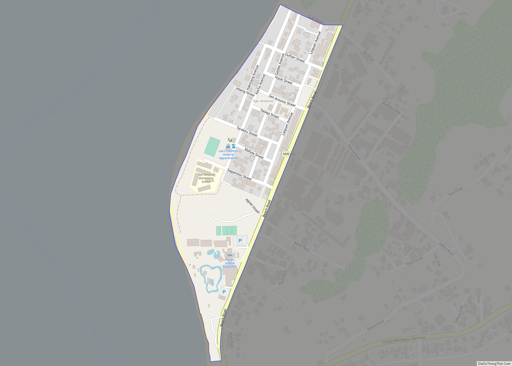
San Antonio village overview: Name: San Antonio village LSAD Code: 47 LSAD Description: village (suffix) FIPS code: 6942000 Online Interactive Map San Antonio online map. Source: Basemap layers from Google Map, Open Street Map (OSM), Arcgisonline, Wmflabs. Boundary Data from Database of Global Administrative Areas. San Antonio location map. Where is San Antonio village? San ... Read more
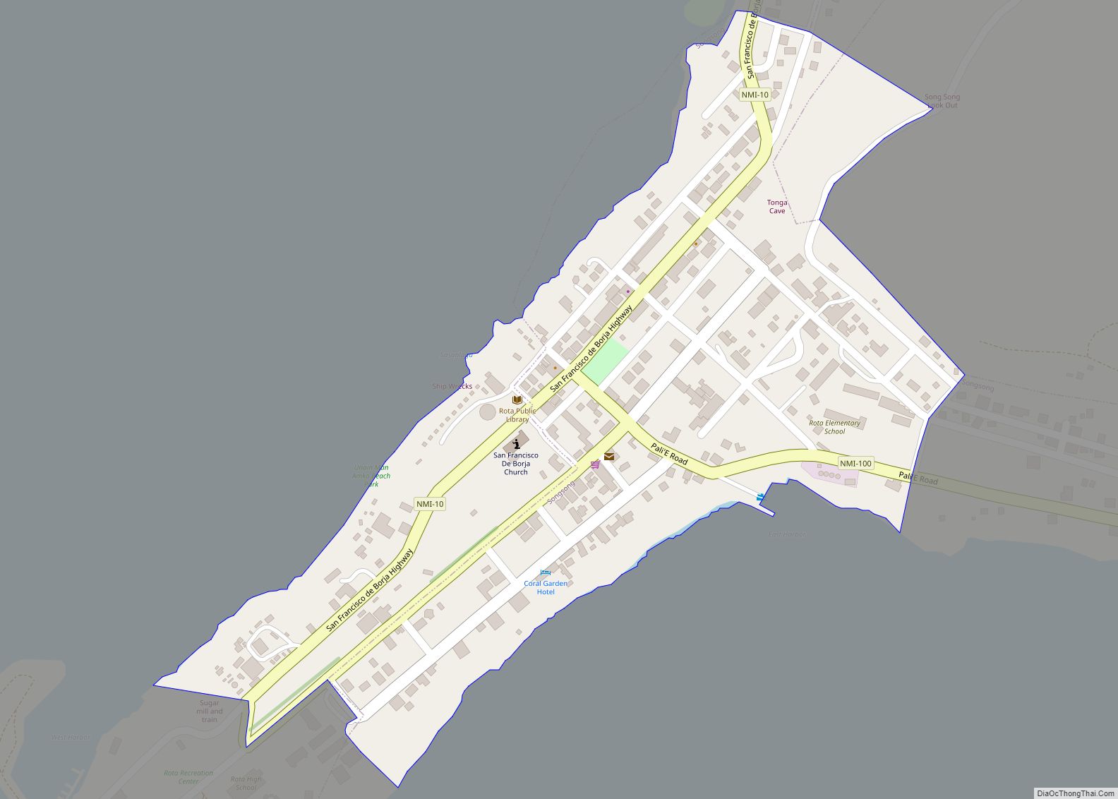
Songsong village overview: Name: Songsong village LSAD Code: 47 LSAD Description: village (suffix) FIPS code: 6964900 Online Interactive Map Songsong online map. Source: Basemap layers from Google Map, Open Street Map (OSM), Arcgisonline, Wmflabs. Boundary Data from Database of Global Administrative Areas. Songsong location map. Where is Songsong village? Songsong Road Map Songsong city Satellite ... Read more
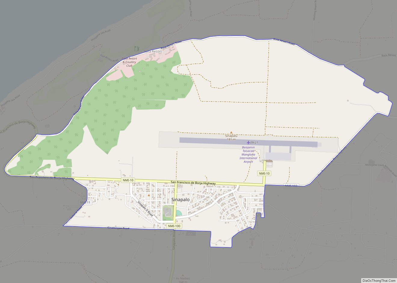
Sinapalo village overview: Name: Sinapalo village LSAD Code: 47 LSAD Description: village (suffix) FIPS code: 6962000 Online Interactive Map Sinapalo online map. Source: Basemap layers from Google Map, Open Street Map (OSM), Arcgisonline, Wmflabs. Boundary Data from Database of Global Administrative Areas. Sinapalo location map. Where is Sinapalo village? Sinapalo Road Map Sinapalo city Satellite ... Read more
Sayan Gigani village overview: Name: Sayan Gigani village LSAD Code: 47 LSAD Description: village (suffix) FIPS code: 6961000 Online Interactive Map Sayan Gigani online map. Source: Basemap layers from Google Map, Open Street Map (OSM), Arcgisonline, Wmflabs. Boundary Data from Database of Global Administrative Areas. Sayan Gigani location map. Where is Sayan Gigani village? Sayan ... Read more
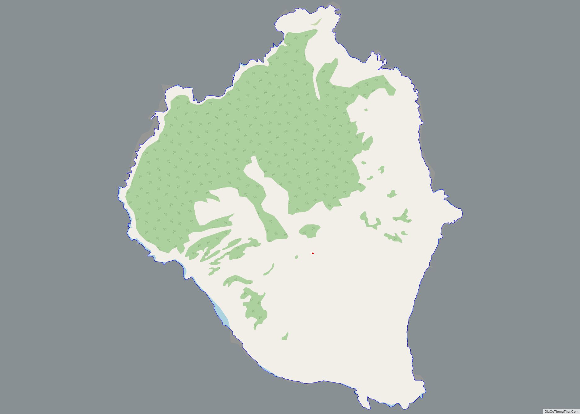
Sarigan village overview: Name: Sarigan village LSAD Code: 47 LSAD Description: village (suffix) FIPS code: 6960500 Online Interactive Map Sarigan online map. Source: Basemap layers from Google Map, Open Street Map (OSM), Arcgisonline, Wmflabs. Boundary Data from Database of Global Administrative Areas. Sarigan location map. Where is Sarigan village? Sarigan Road Map Sarigan city Satellite ... Read more
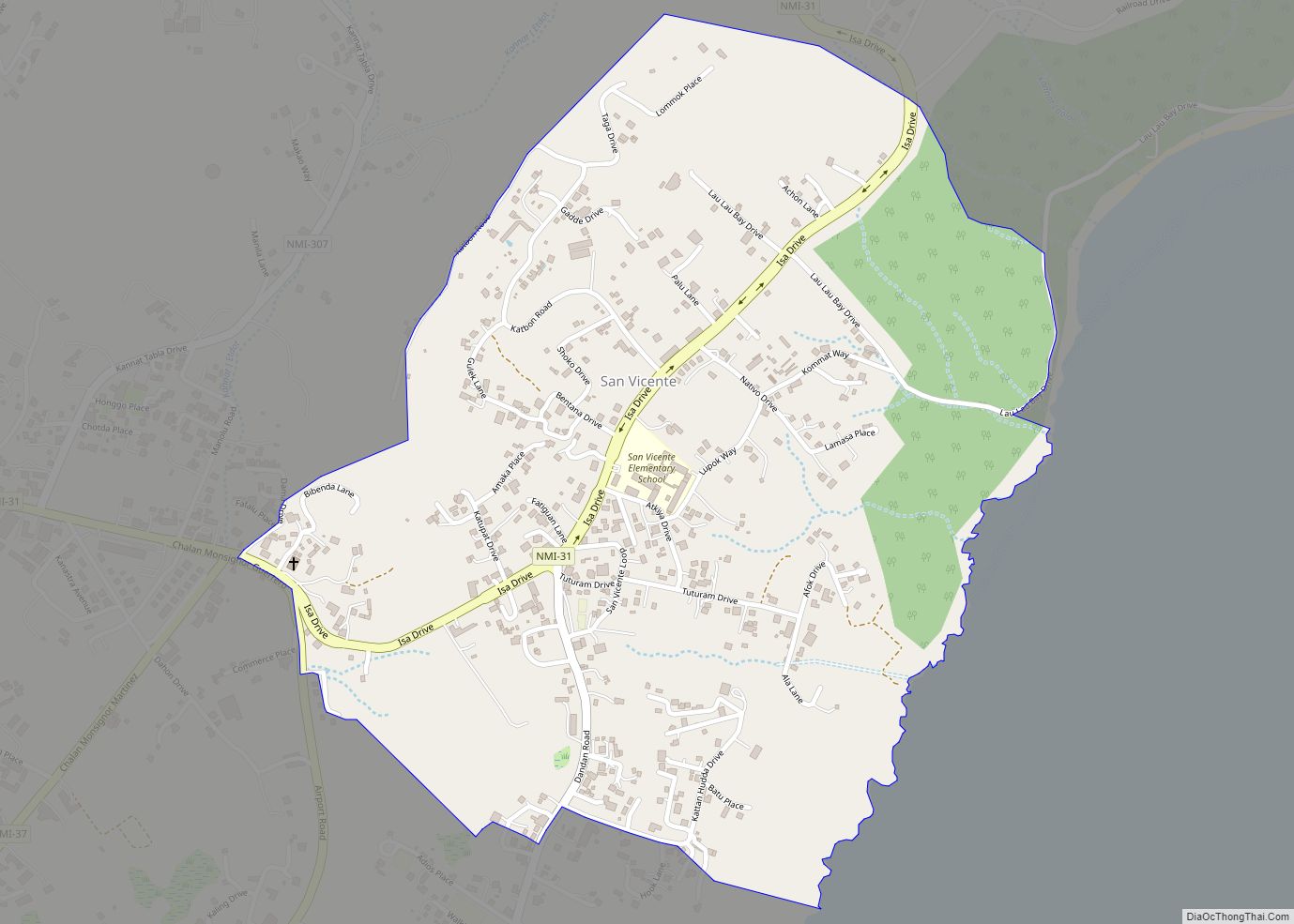
San Vicente village overview: Name: San Vicente village LSAD Code: 47 LSAD Description: village (suffix) FIPS code: 6959000 Online Interactive Map San Vicente online map. Source: Basemap layers from Google Map, Open Street Map (OSM), Arcgisonline, Wmflabs. Boundary Data from Database of Global Administrative Areas. San Vicente location map. Where is San Vicente village? San ... Read more
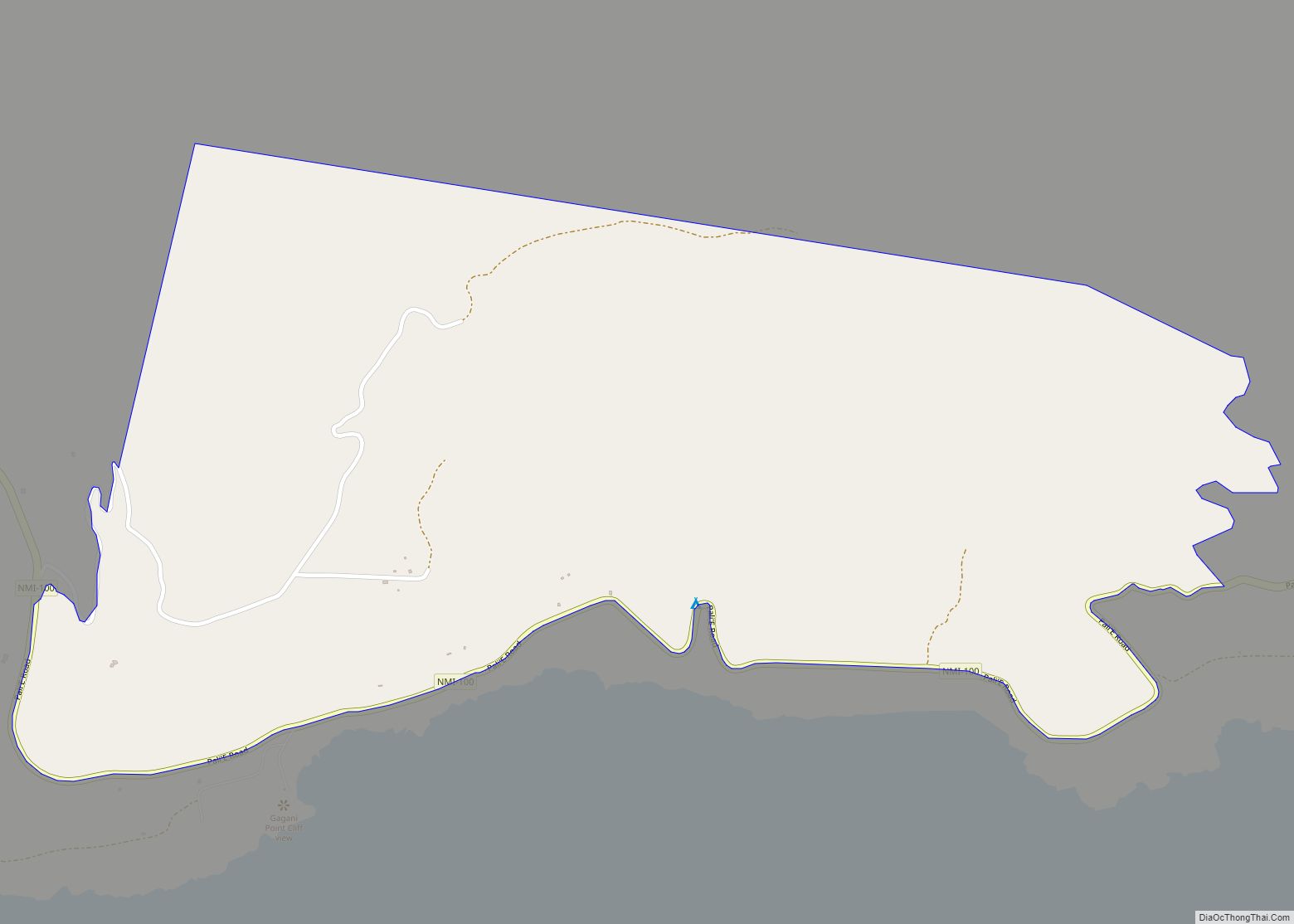
Talakhaya village overview: Name: Talakhaya village LSAD Code: 47 LSAD Description: village (suffix) FIPS code: 6973000 Online Interactive Map Talakhaya online map. Source: Basemap layers from Google Map, Open Street Map (OSM), Arcgisonline, Wmflabs. Boundary Data from Database of Global Administrative Areas. Talakhaya location map. Where is Talakhaya village? Talakhaya Road Map Talakhaya city Satellite ... Read more
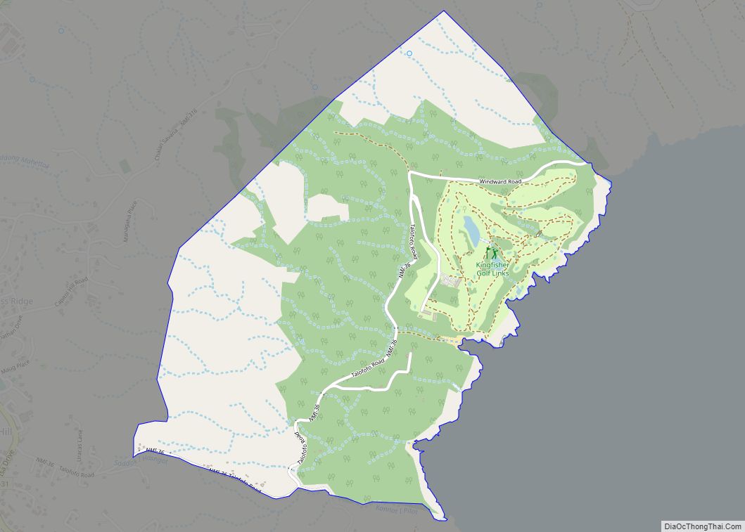
Talafofo village overview: Name: Talafofo village LSAD Code: 47 LSAD Description: village (suffix) FIPS code: 6972000 Online Interactive Map Talafofo online map. Source: Basemap layers from Google Map, Open Street Map (OSM), Arcgisonline, Wmflabs. Boundary Data from Database of Global Administrative Areas. Talafofo location map. Where is Talafofo village? Talafofo Road Map Talafofo city Satellite ... Read more
