Map of Talafofo village

Map of Talafofo village

Talafofo village overview: Name: Talafofo village LSAD Code: 47 LSAD Description: village (suffix) FIPS code: 6972000 Online Interactive Map Talafofo online map. Source: Basemap layers from Google Map, Open Street Map (OSM), Arcgisonline, Wmflabs. Boundary Data from Database of Global Administrative Areas. Talafofo location map. Where is Talafofo village? Talafofo Road Map Talafofo city Satellite … Read more

Map of Taimama village

Map of Taimama village

Taimama village overview: Name: Taimama village LSAD Code: 47 LSAD Description: village (suffix) FIPS code: 6971000 Online Interactive Map Taimama online map. Source: Basemap layers from Google Map, Open Street Map (OSM), Arcgisonline, Wmflabs. Boundary Data from Database of Global Administrative Areas. Taimama location map. Where is Taimama village? Taimama Road Map Taimama city Satellite … Read more

Map of Tagolo Ogso village

Map of Tagolo Ogso village

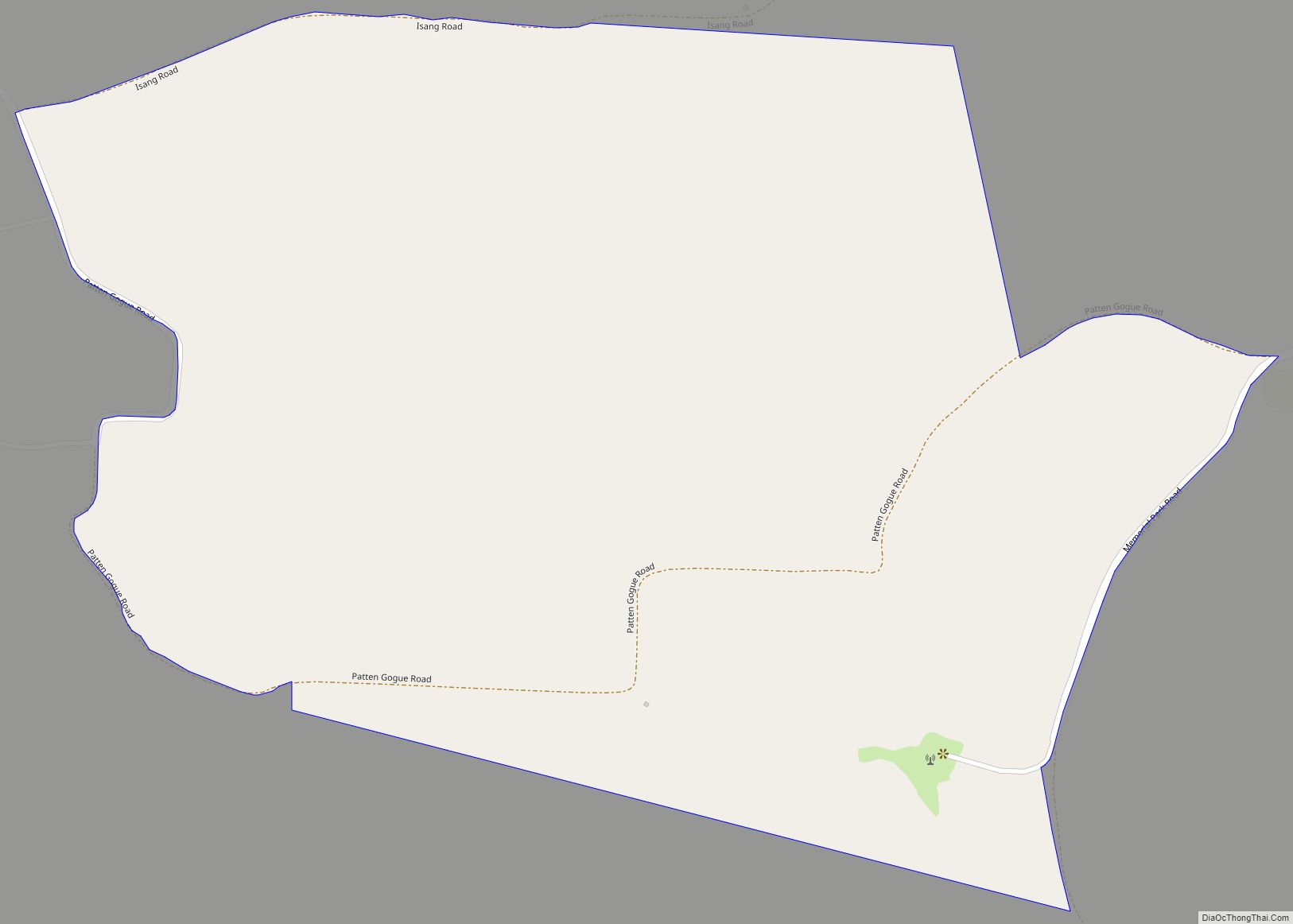
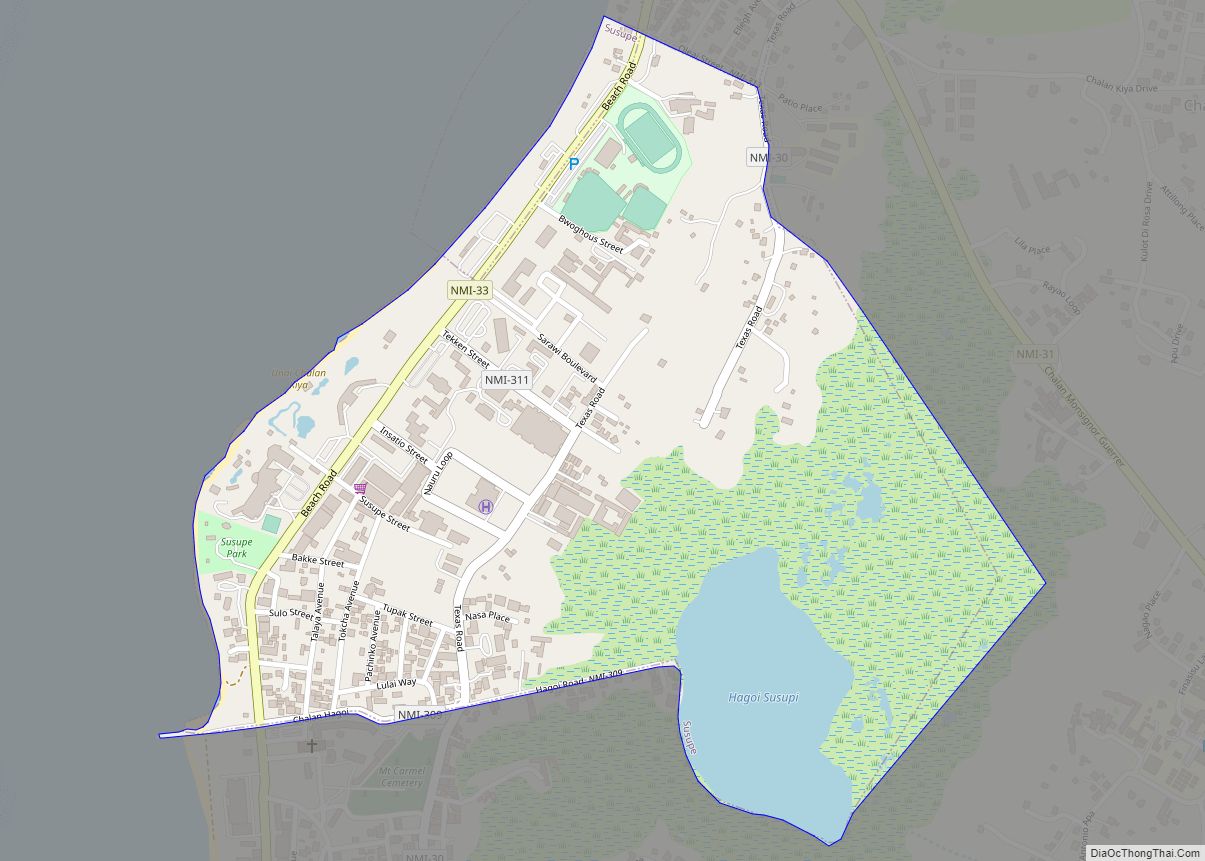
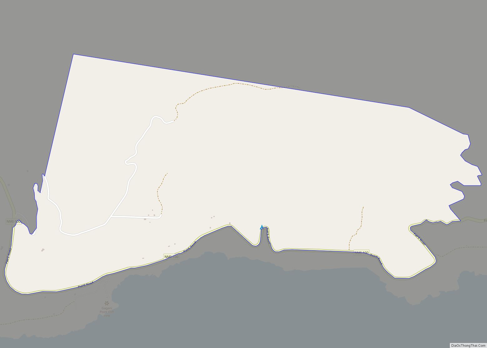
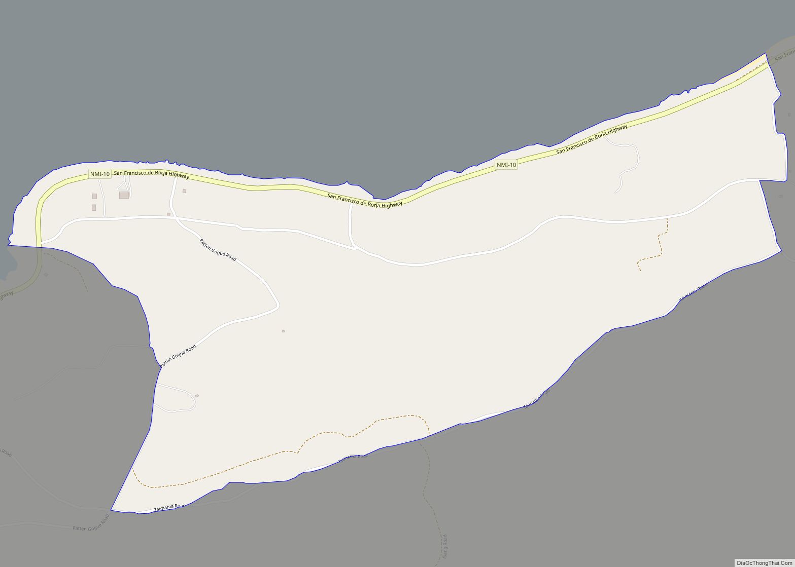
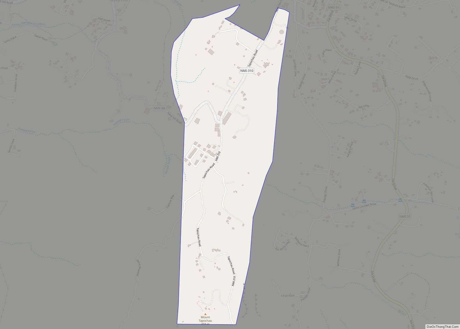
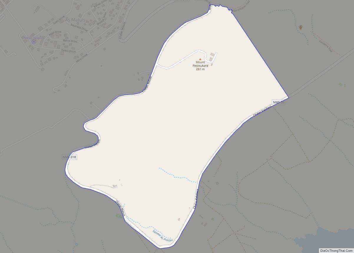
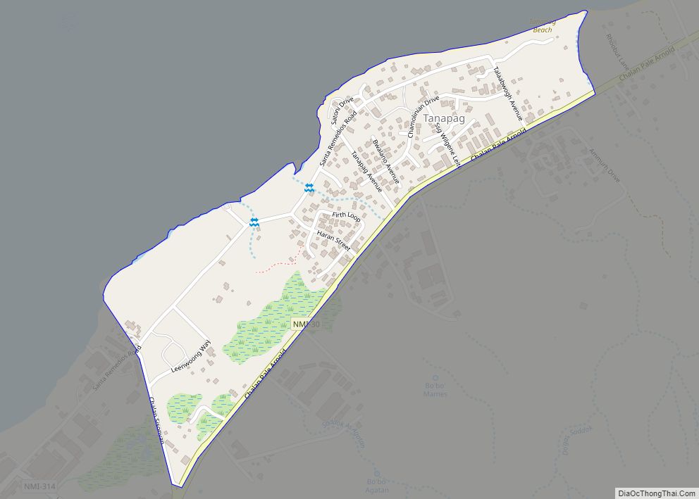
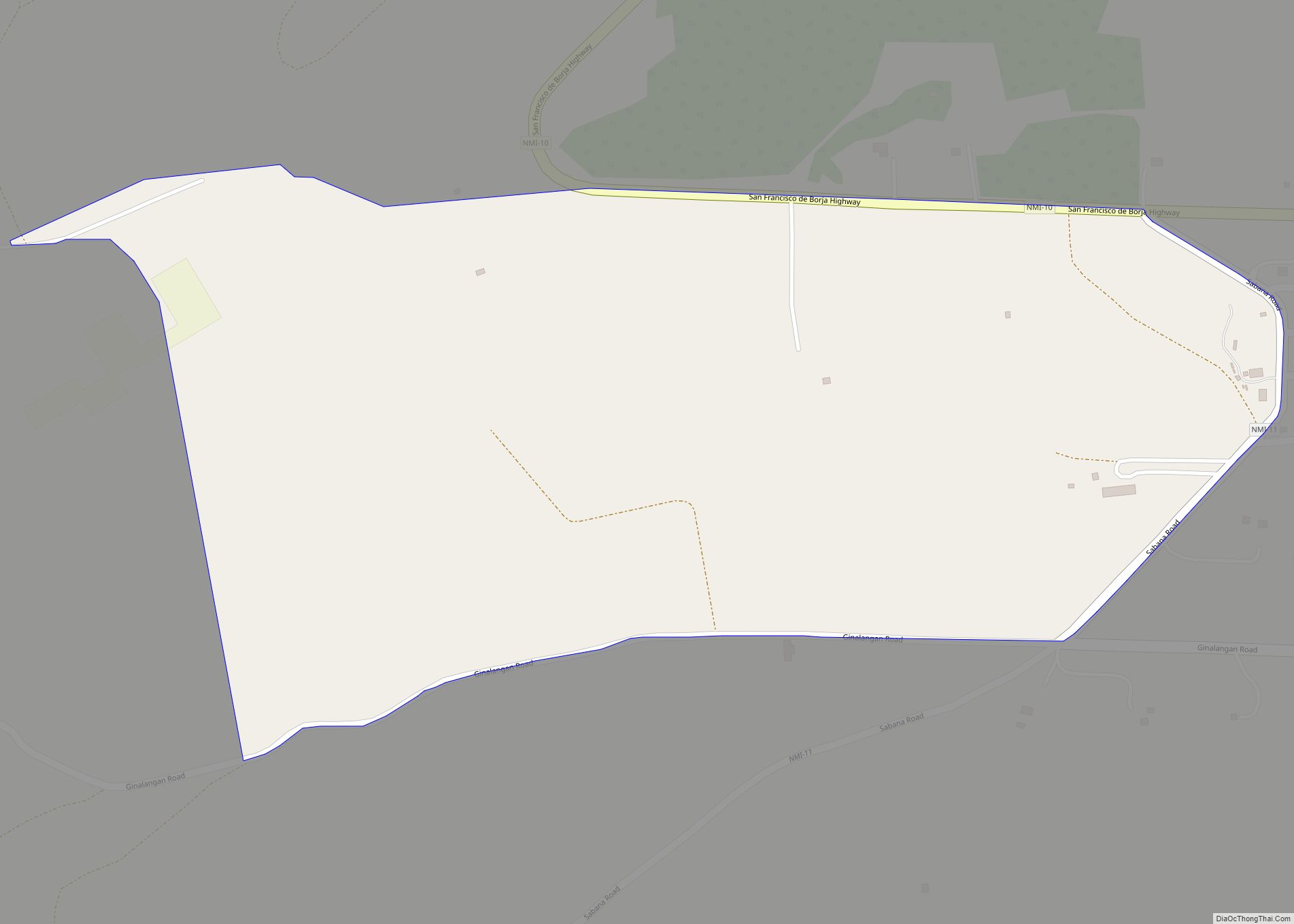
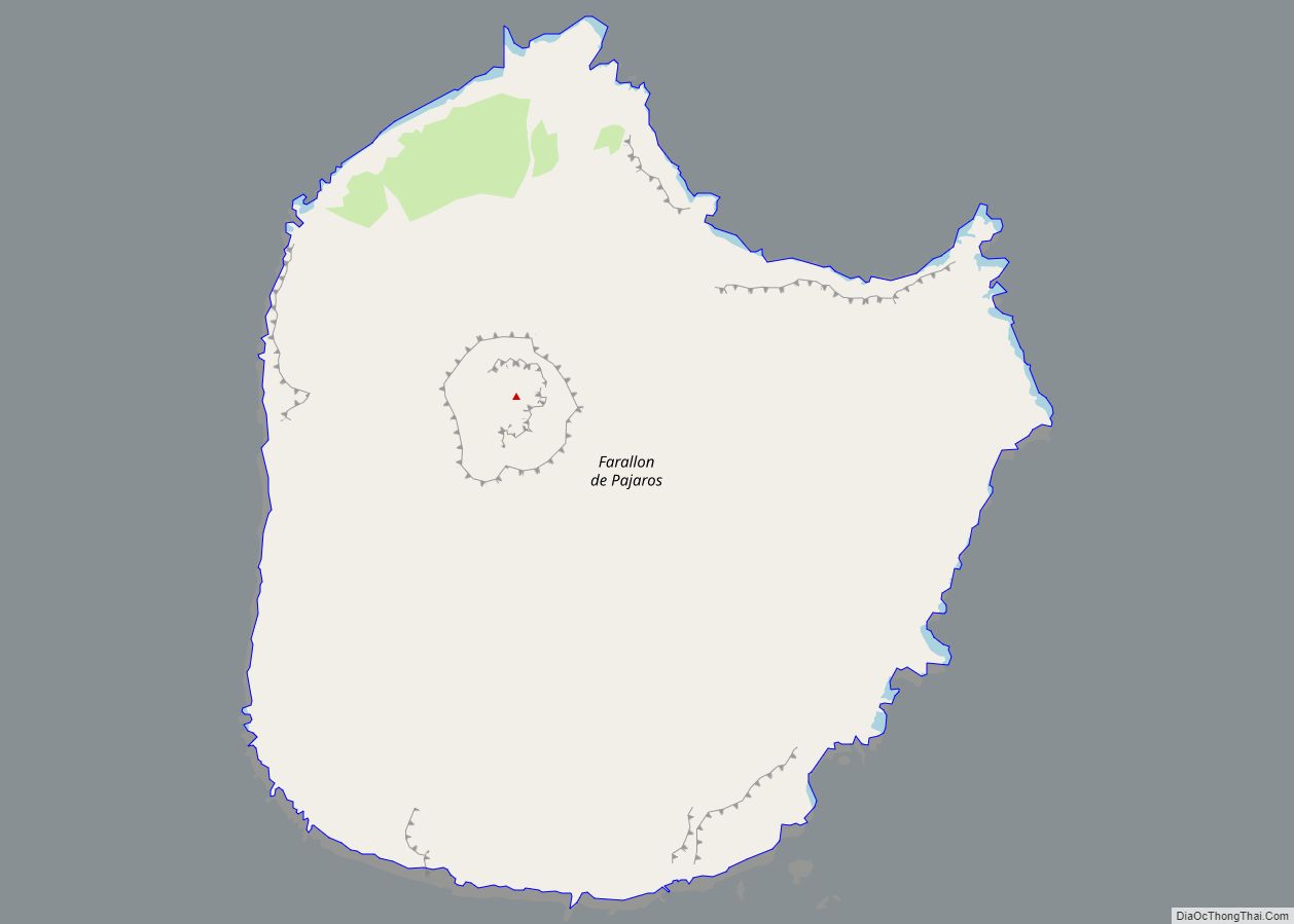
Tagolo Ogso village overview: Name: Tagolo Ogso village LSAD Code: 47 LSAD Description: village (suffix) FIPS code: 6970900 Online Interactive Map Tagolo Ogso online map. Source: Basemap layers from Google Map, Open Street Map (OSM), Arcgisonline, Wmflabs. Boundary Data from Database of Global Administrative Areas. Tagolo Ogso location map. Where is Tagolo Ogso village? Tagolo … Read more

Map of Tatachok village

Map of Tatachok village

Tatachok village overview: Name: Tatachok village LSAD Code: 47 LSAD Description: village (suffix) FIPS code: 6977100 Online Interactive Map Tatachok online map. Source: Basemap layers from Google Map, Open Street Map (OSM), Arcgisonline, Wmflabs. Boundary Data from Database of Global Administrative Areas. Tatachok location map. Where is Tatachok village? Tatachok Road Map Tatachok city Satellite … Read more

Map of Tapochao village

Map of Tapochao village

Tapochao village overview: Name: Tapochao village LSAD Code: 47 LSAD Description: village (suffix) FIPS code: 6977000 Online Interactive Map Tapochao online map. Source: Basemap layers from Google Map, Open Street Map (OSM), Arcgisonline, Wmflabs. Boundary Data from Database of Global Administrative Areas. Tapochao location map. Where is Tapochao village? Tapochao Road Map Tapochao city Satellite … Read more

Map of Tangke village

Map of Tangke village

Tangke village overview: Name: Tangke village LSAD Code: 47 LSAD Description: village (suffix) FIPS code: 6976900 Online Interactive Map Tangke online map. Source: Basemap layers from Google Map, Open Street Map (OSM), Arcgisonline, Wmflabs. Boundary Data from Database of Global Administrative Areas. Tangke location map. Where is Tangke village? Tangke Road Map Tangke city Satellite … Read more

Map of Tanapag village

Map of Tanapag village

Tanapag village overview: Name: Tanapag village LSAD Code: 47 LSAD Description: village (suffix) FIPS code: 6976700 Online Interactive Map Tanapag online map. Source: Basemap layers from Google Map, Open Street Map (OSM), Arcgisonline, Wmflabs. Boundary Data from Database of Global Administrative Areas. Tanapag location map. Where is Tanapag village? Tanapag Road Map Tanapag city Satellite … Read more

Map of Talo village

Map of Talo village

Talo village overview: Name: Talo village LSAD Code: 47 LSAD Description: village (suffix) FIPS code: 6974000 Online Interactive Map Talo online map. Source: Basemap layers from Google Map, Open Street Map (OSM), Arcgisonline, Wmflabs. Boundary Data from Database of Global Administrative Areas. Talo location map. Where is Talo village? Talo Road Map Talo city Satellite … Read more

Map of Uracus (Farallon de Pajaros) village

Map of Uracus (Farallon de Pajaros) village

Uracus (Farallon de Pajaros) village overview: Name: Uracus (Farallon de Pajaros) village LSAD Code: 47 LSAD Description: village (suffix) FIPS code: 6989200 Online Interactive Map Uracus online map. Source: Basemap layers from Google Map, Open Street Map (OSM), Arcgisonline, Wmflabs. Boundary Data from Database of Global Administrative Areas. Uracus location map. Where is Uracus (Farallon … Read more

Map of Ugis village

Map of Ugis village

Ugis village overview: Name: Ugis village LSAD Code: 47 LSAD Description: village (suffix) FIPS code: 6989100 Online Interactive Map Ugis online map. Source: Basemap layers from Google Map, Open Street Map (OSM), Arcgisonline, Wmflabs. Boundary Data from Database of Global Administrative Areas. Ugis location map. Where is Ugis village? Ugis Road Map Ugis city Satellite … Read more

Map of Tottotville village

Map of Tottotville village

Tottotville village overview: Name: Tottotville village LSAD Code: 47 LSAD Description: village (suffix) FIPS code: 6989000 Online Interactive Map Tottotville online map. Source: Basemap layers from Google Map, Open Street Map (OSM), Arcgisonline, Wmflabs. Boundary Data from Database of Global Administrative Areas. Tottotville location map. Where is Tottotville village? Tottotville Road Map Tottotville city Satellite … Read more

Map of Tenetu village

Map of Tenetu village

Tenetu village overview: Name: Tenetu village LSAD Code: 47 LSAD Description: village (suffix) FIPS code: 6977300 Online Interactive Map Tenetu online map. Source: Basemap layers from Google Map, Open Street Map (OSM), Arcgisonline, Wmflabs. Boundary Data from Database of Global Administrative Areas. Tenetu location map. Where is Tenetu village? Tenetu Road Map Tenetu city Satellite … Read more