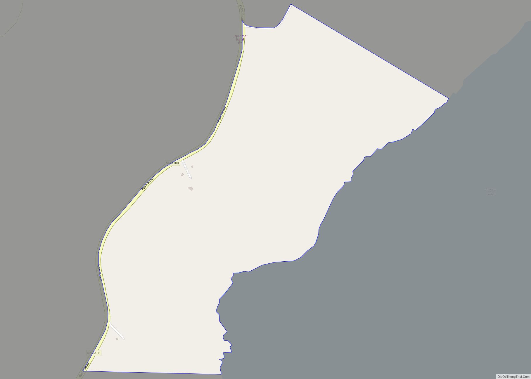
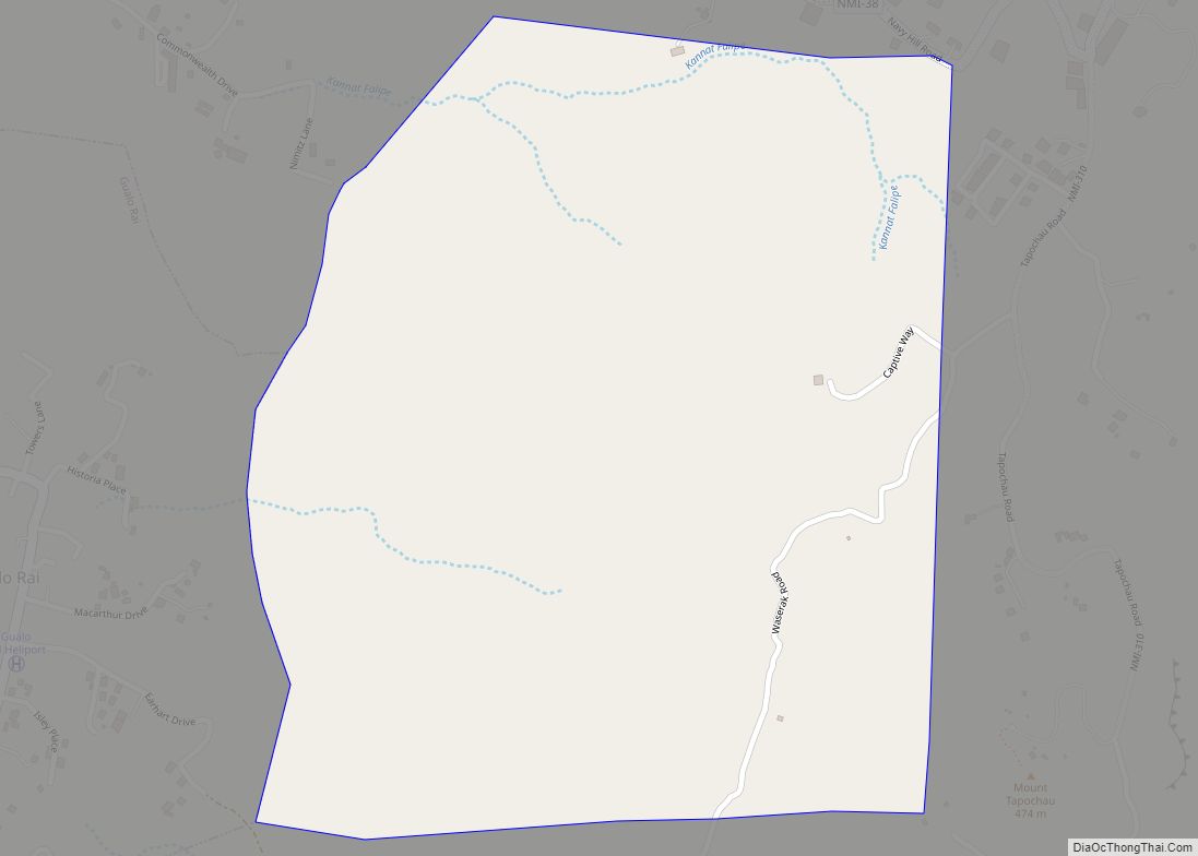
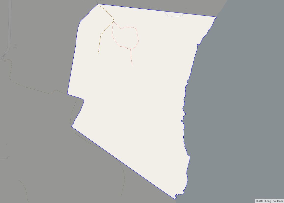
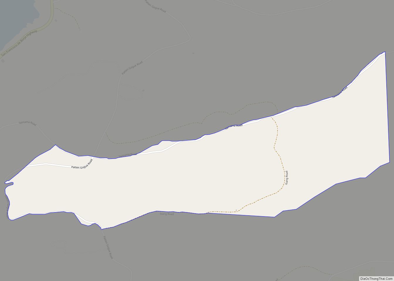
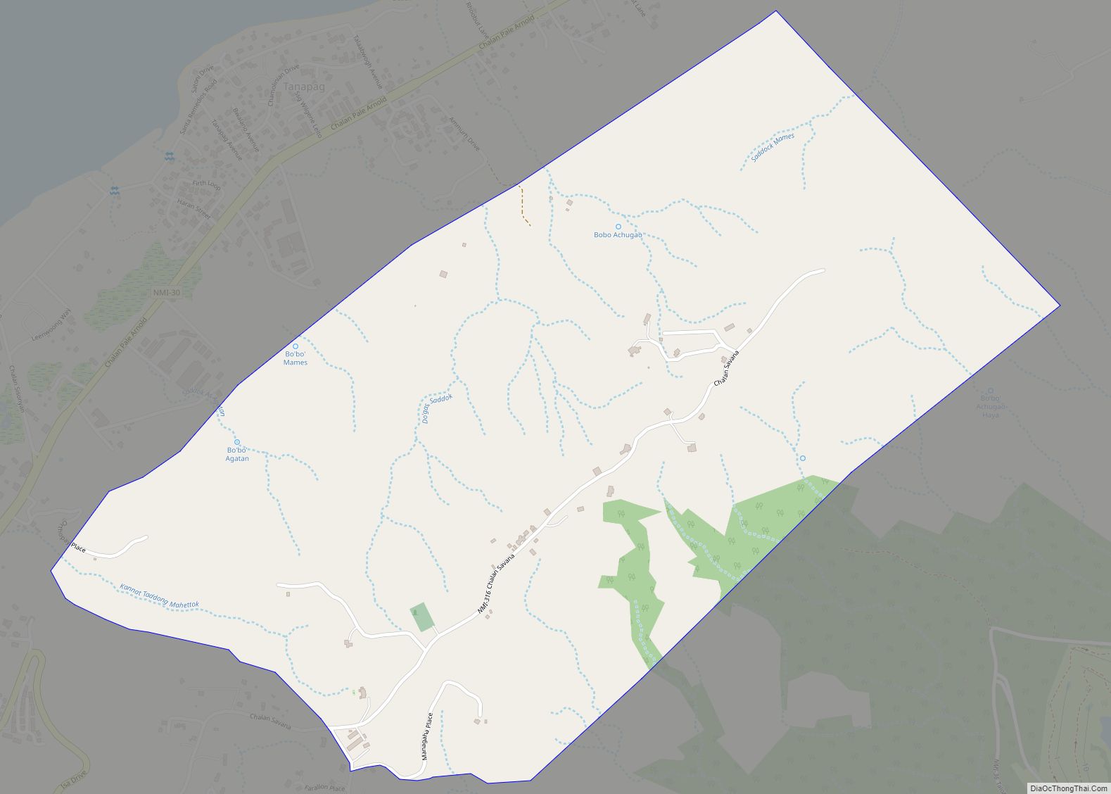
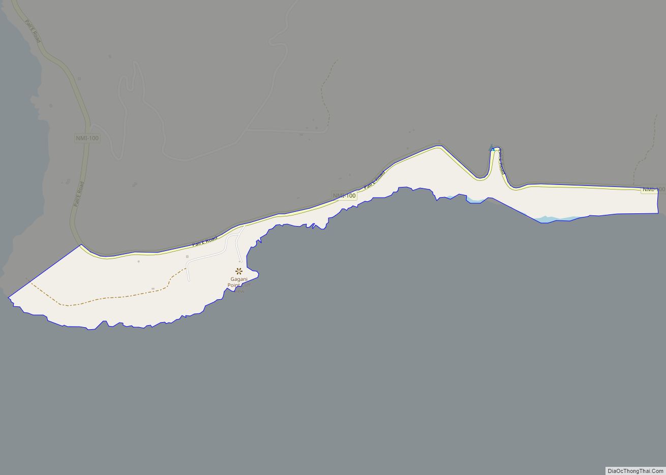
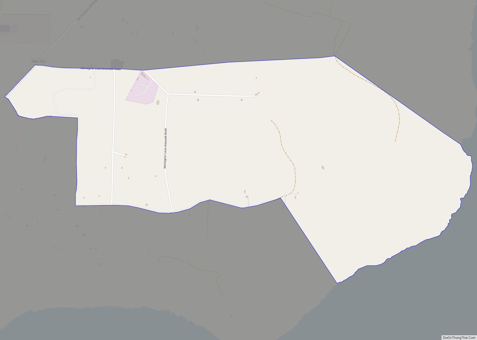
Alaguan village overview: Name: Alaguan village LSAD Code: 47 LSAD Description: village (suffix) FIPS code: 6901200 Online Interactive Map Alaguan online map. Source: Basemap layers from Google Map, Open Street Map (OSM), Arcgisonline, Wmflabs. Boundary Data from Database of Global Administrative Areas. Alaguan location map. Where is Alaguan village? Alaguan Road Map Alaguan city Satellite ... Read more
Northern Mariana Islands Cities and Places
As Falipe village overview: Name: As Falipe village LSAD Code: 47 LSAD Description: village (suffix) FIPS code: 6901600 Online Interactive Map As Falipe online map. Source: Basemap layers from Google Map, Open Street Map (OSM), Arcgisonline, Wmflabs. Boundary Data from Database of Global Administrative Areas. As Falipe location map. Where is As Falipe village? As ... Read more
As Dudo village overview: Name: As Dudo village LSAD Code: 47 LSAD Description: village (suffix) FIPS code: 6901500 Online Interactive Map As Dudo online map. Source: Basemap layers from Google Map, Open Street Map (OSM), Arcgisonline, Wmflabs. Boundary Data from Database of Global Administrative Areas. As Dudo location map. Where is As Dudo village? As ... Read more
As Akoddo village overview: Name: As Akoddo village LSAD Code: 47 LSAD Description: village (suffix) FIPS code: 6901450 Online Interactive Map As Akoddo online map. Source: Basemap layers from Google Map, Open Street Map (OSM), Arcgisonline, Wmflabs. Boundary Data from Database of Global Administrative Areas. As Akoddo location map. Where is As Akoddo village? As ... Read more
As Akina village overview: Name: As Akina village LSAD Code: 47 LSAD Description: village (suffix) FIPS code: 6901400 Online Interactive Map As Akina online map. Source: Basemap layers from Google Map, Open Street Map (OSM), Arcgisonline, Wmflabs. Boundary Data from Database of Global Administrative Areas. As Akina location map. Where is As Akina village? As ... Read more
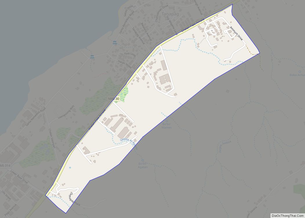
Apanon village overview: Name: Apanon village LSAD Code: 47 LSAD Description: village (suffix) FIPS code: 6901350 Online Interactive Map Apanon online map. Source: Basemap layers from Google Map, Open Street Map (OSM), Arcgisonline, Wmflabs. Boundary Data from Database of Global Administrative Areas. Apanon location map. Where is Apanon village? Apanon Road Map Apanon city Satellite ... Read more
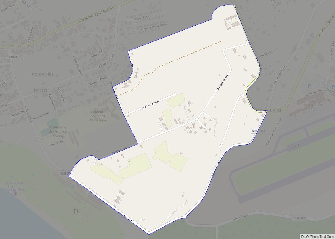
As Gonna village overview: Name: As Gonna village LSAD Code: 47 LSAD Description: village (suffix) FIPS code: 6901650 Online Interactive Map As Gonna online map. Source: Basemap layers from Google Map, Open Street Map (OSM), Arcgisonline, Wmflabs. Boundary Data from Database of Global Administrative Areas. As Gonna location map. Where is As Gonna village? As ... Read more
As Niebes (Nieves) village overview: Name: As Niebes (Nieves) village LSAD Code: 47 LSAD Description: village (suffix) FIPS code: 6901850 Online Interactive Map As Niebes online map. Source: Basemap layers from Google Map, Open Street Map (OSM), Arcgisonline, Wmflabs. Boundary Data from Database of Global Administrative Areas. As Niebes location map. Where is As Niebes ... Read more
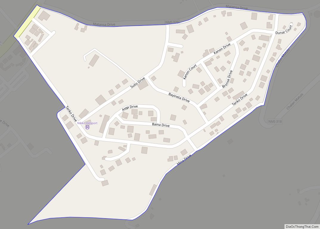
As Matuis village overview: Name: As Matuis village LSAD Code: 47 LSAD Description: village (suffix) FIPS code: 6901800 Online Interactive Map As Matuis online map. Source: Basemap layers from Google Map, Open Street Map (OSM), Arcgisonline, Wmflabs. Boundary Data from Database of Global Administrative Areas. As Matuis location map. Where is As Matuis village? As ... Read more
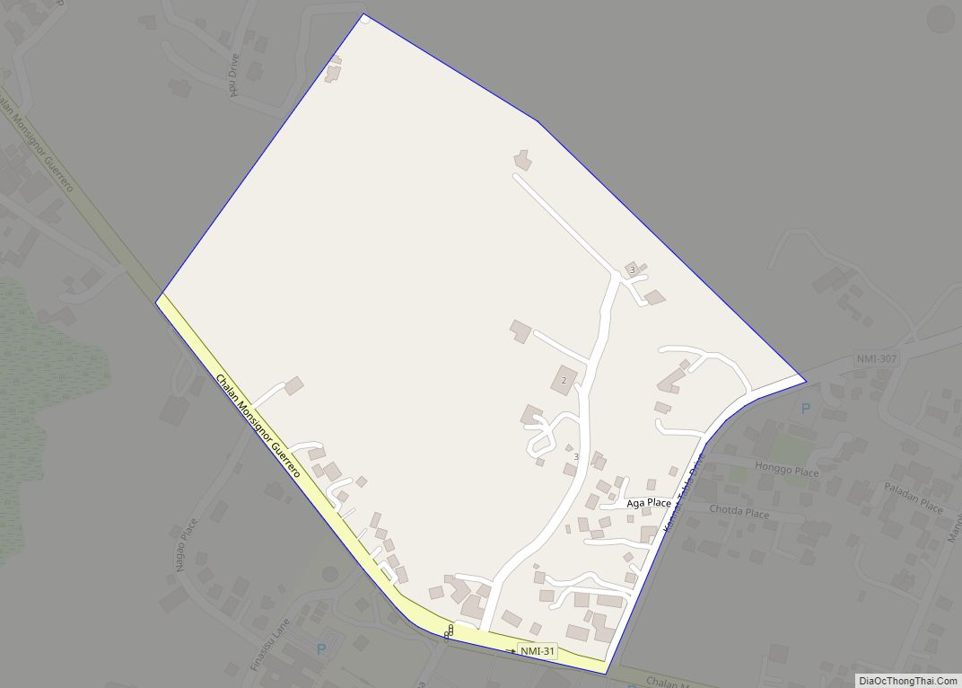
As Mahetog village overview: Name: As Mahetog village LSAD Code: 47 LSAD Description: village (suffix) FIPS code: 6901750 Online Interactive Map As Mahetog online map. Source: Basemap layers from Google Map, Open Street Map (OSM), Arcgisonline, Wmflabs. Boundary Data from Database of Global Administrative Areas. As Mahetog location map. Where is As Mahetog village? As ... Read more
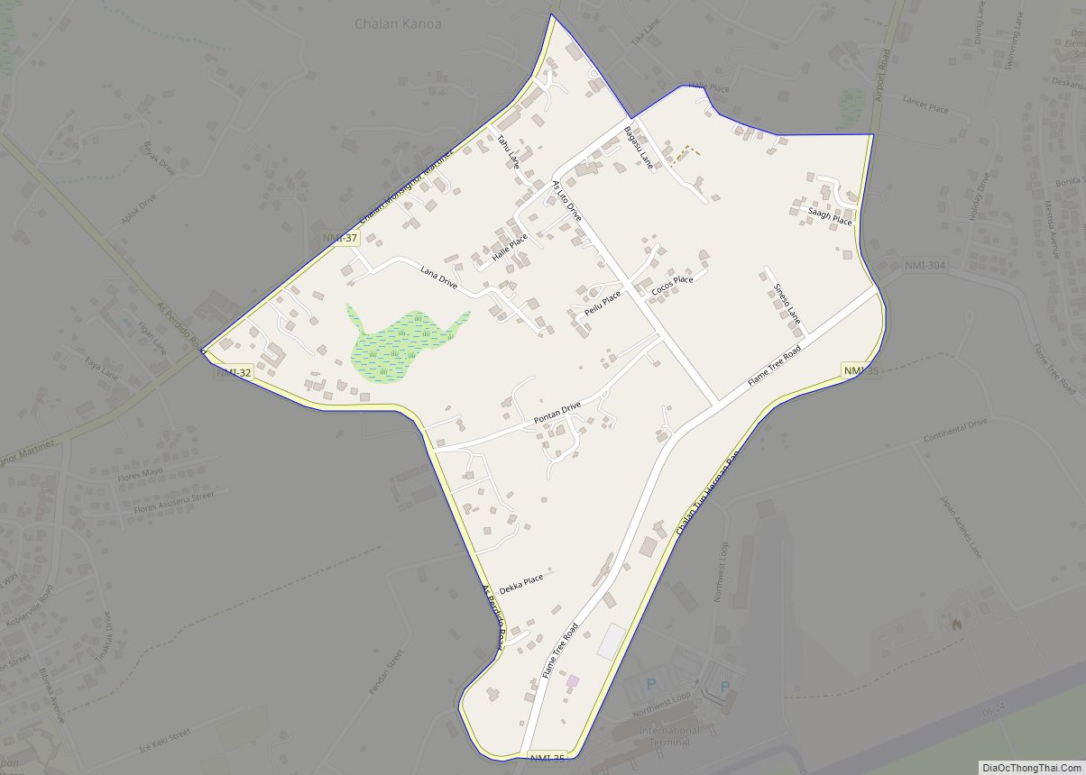
As Lito village overview: Name: As Lito village LSAD Code: 47 LSAD Description: village (suffix) FIPS code: 6901700 Online Interactive Map As Lito online map. Source: Basemap layers from Google Map, Open Street Map (OSM), Arcgisonline, Wmflabs. Boundary Data from Database of Global Administrative Areas. As Lito location map. Where is As Lito village? As ... Read more
As Terlaje village overview: Name: As Terlaje village LSAD Code: 47 LSAD Description: village (suffix) FIPS code: 6903000 Online Interactive Map As Terlaje online map. Source: Basemap layers from Google Map, Open Street Map (OSM), Arcgisonline, Wmflabs. Boundary Data from Database of Global Administrative Areas. As Terlaje location map. Where is As Terlaje village? As ... Read more
