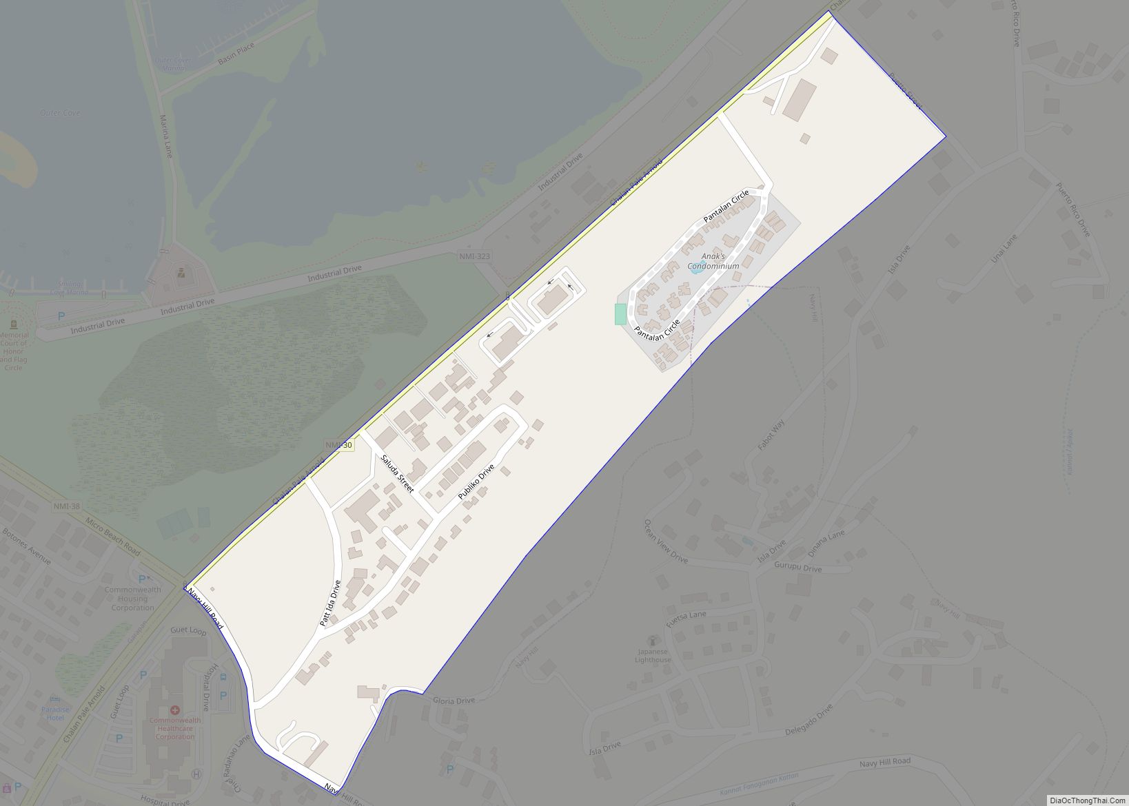
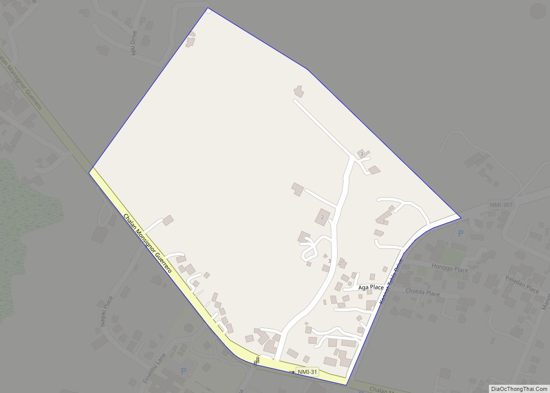
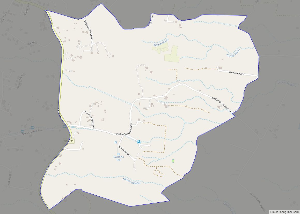
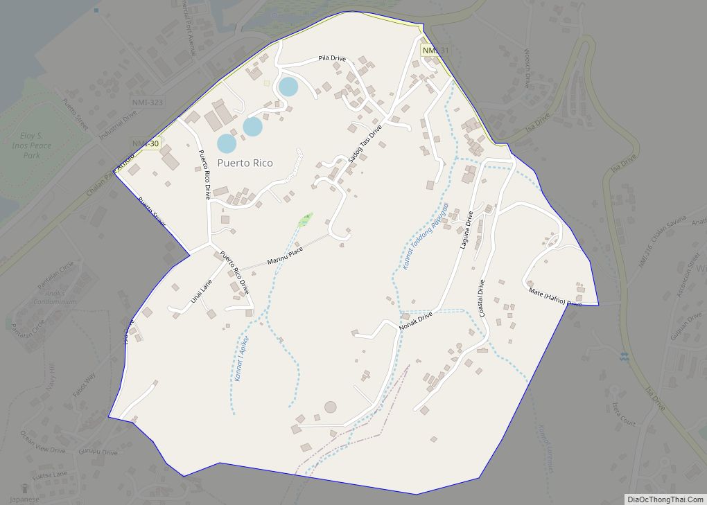
As Palacios village overview: Name: As Palacios village LSAD Code: 47 LSAD Description: village (suffix) FIPS code: 6901900 Online Interactive Map As Palacios online map. Source: Basemap layers from Google Map, Open Street Map (OSM), Arcgisonline, Wmflabs. Boundary Data from Database of Global Administrative Areas. As Palacios location map. Where is As Palacios village? As ... Read more
Northern Mariana Islands Cities and Places
As Terlaje village overview: Name: As Terlaje village LSAD Code: 47 LSAD Description: village (suffix) FIPS code: 6903000 Online Interactive Map As Terlaje online map. Source: Basemap layers from Google Map, Open Street Map (OSM), Arcgisonline, Wmflabs. Boundary Data from Database of Global Administrative Areas. As Terlaje location map. Where is As Terlaje village? As ... Read more
As Teo village overview: Name: As Teo village LSAD Code: 47 LSAD Description: village (suffix) FIPS code: 6902500 Online Interactive Map As Teo online map. Source: Basemap layers from Google Map, Open Street Map (OSM), Arcgisonline, Wmflabs. Boundary Data from Database of Global Administrative Areas. As Teo location map. Where is As Teo village? As ... Read more
As Rabagau village overview: Name: As Rabagau village LSAD Code: 47 LSAD Description: village (suffix) FIPS code: 6902000 Online Interactive Map As Rabagau online map. Source: Basemap layers from Google Map, Open Street Map (OSM), Arcgisonline, Wmflabs. Boundary Data from Database of Global Administrative Areas. As Rabagau location map. Where is As Rabagau village? As ... Read more
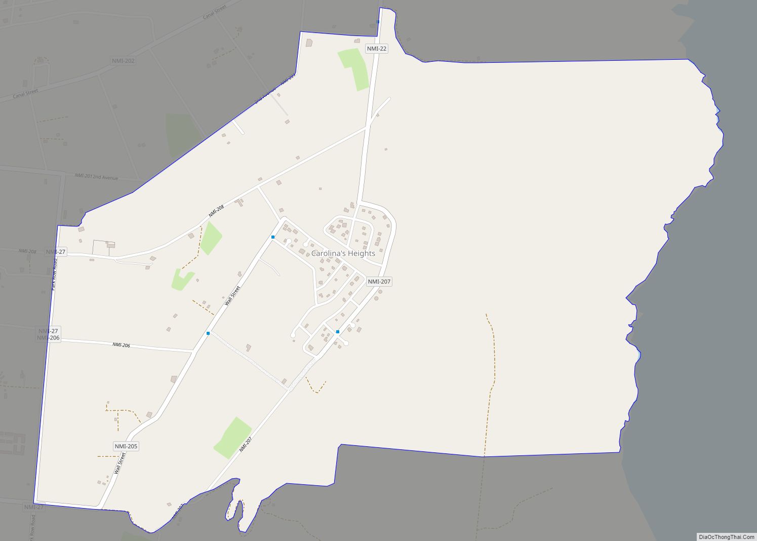
Carolinas Heights village overview: Name: Carolinas Heights village LSAD Code: 47 LSAD Description: village (suffix) FIPS code: 6907000 Online Interactive Map Carolinas Heights online map. Source: Basemap layers from Google Map, Open Street Map (OSM), Arcgisonline, Wmflabs. Boundary Data from Database of Global Administrative Areas. Carolinas Heights location map. Where is Carolinas Heights village? Carolinas ... Read more
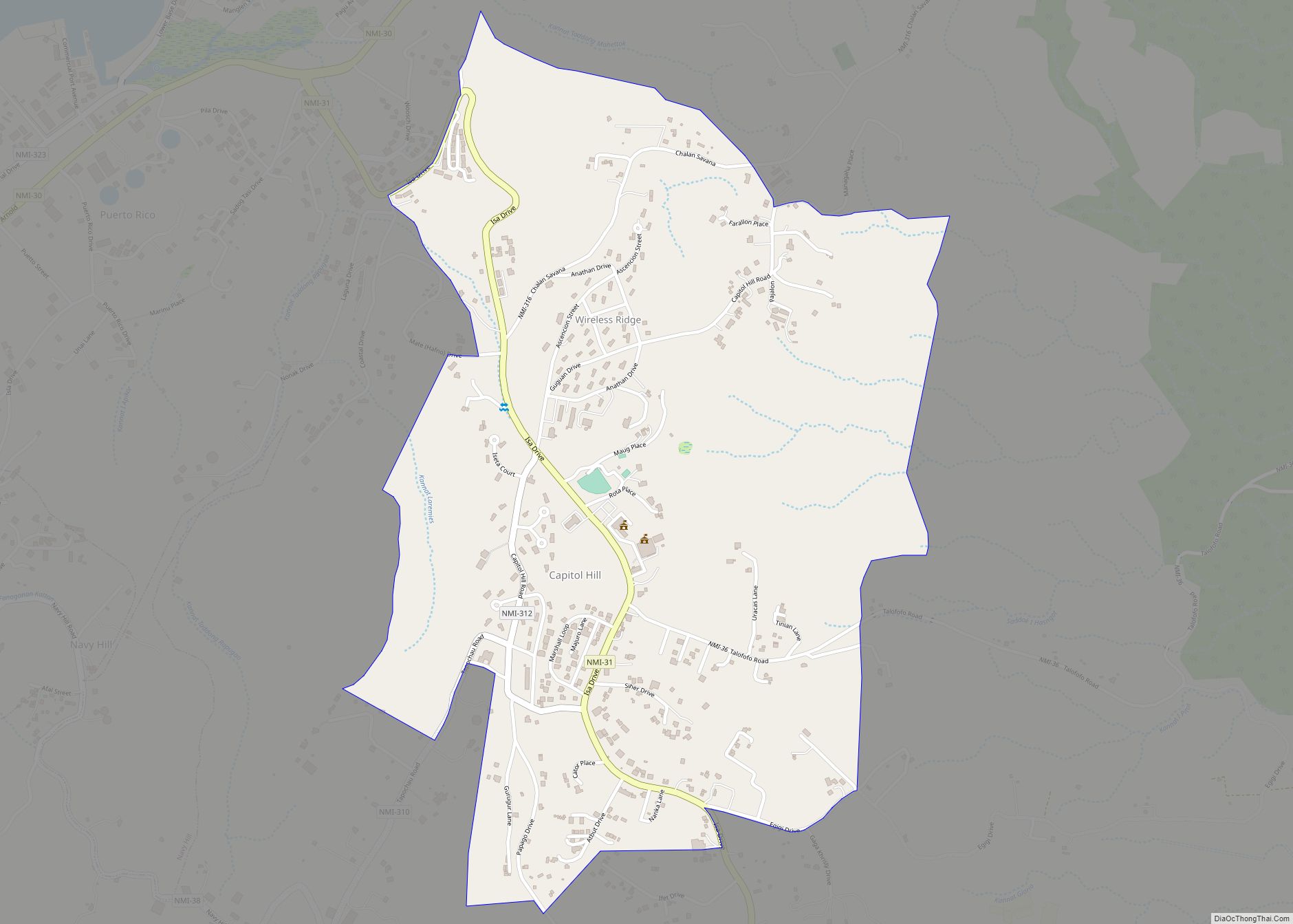
Capitol Hill village overview: Name: Capitol Hill village LSAD Code: 47 LSAD Description: village (suffix) FIPS code: 6906000 Online Interactive Map Capitol Hill online map. Source: Basemap layers from Google Map, Open Street Map (OSM), Arcgisonline, Wmflabs. Boundary Data from Database of Global Administrative Areas. Capitol Hill location map. Where is Capitol Hill village? Capitol ... Read more
Bird Island village overview: Name: Bird Island village LSAD Code: 47 LSAD Description: village (suffix) FIPS code: 6904000 Online Interactive Map Bird Island online map. Source: Basemap layers from Google Map, Open Street Map (OSM), Arcgisonline, Wmflabs. Boundary Data from Database of Global Administrative Areas. Bird Island location map. Where is Bird Island village? Bird ... Read more
Banaderu village overview: Name: Banaderu village LSAD Code: 47 LSAD Description: village (suffix) FIPS code: 6903500 Online Interactive Map Banaderu online map. Source: Basemap layers from Google Map, Open Street Map (OSM), Arcgisonline, Wmflabs. Boundary Data from Database of Global Administrative Areas. Banaderu location map. Where is Banaderu village? Banaderu Road Map Banaderu city Satellite ... Read more
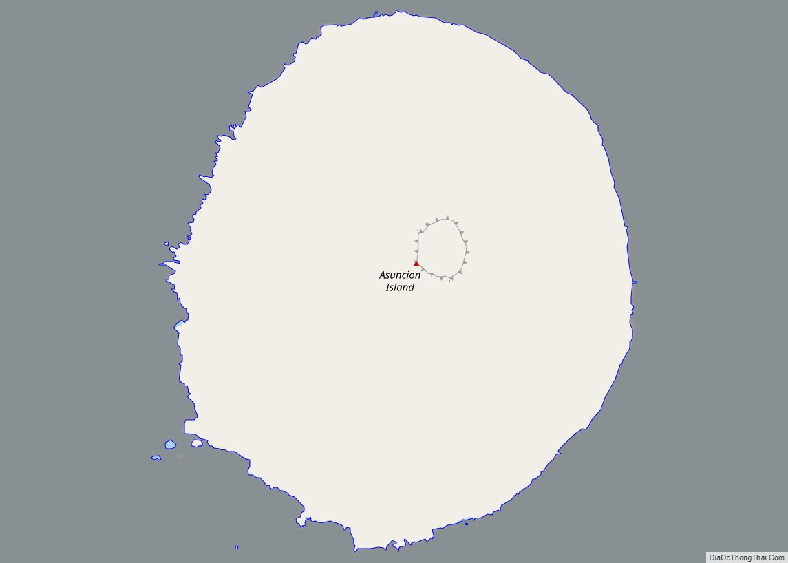
Asuncion village overview: Name: Asuncion village LSAD Code: 47 LSAD Description: village (suffix) FIPS code: 6903100 Online Interactive Map Asuncion online map. Source: Basemap layers from Google Map, Open Street Map (OSM), Arcgisonline, Wmflabs. Boundary Data from Database of Global Administrative Areas. Asuncion location map. Where is Asuncion village? Asuncion Road Map Asuncion city Satellite ... Read more
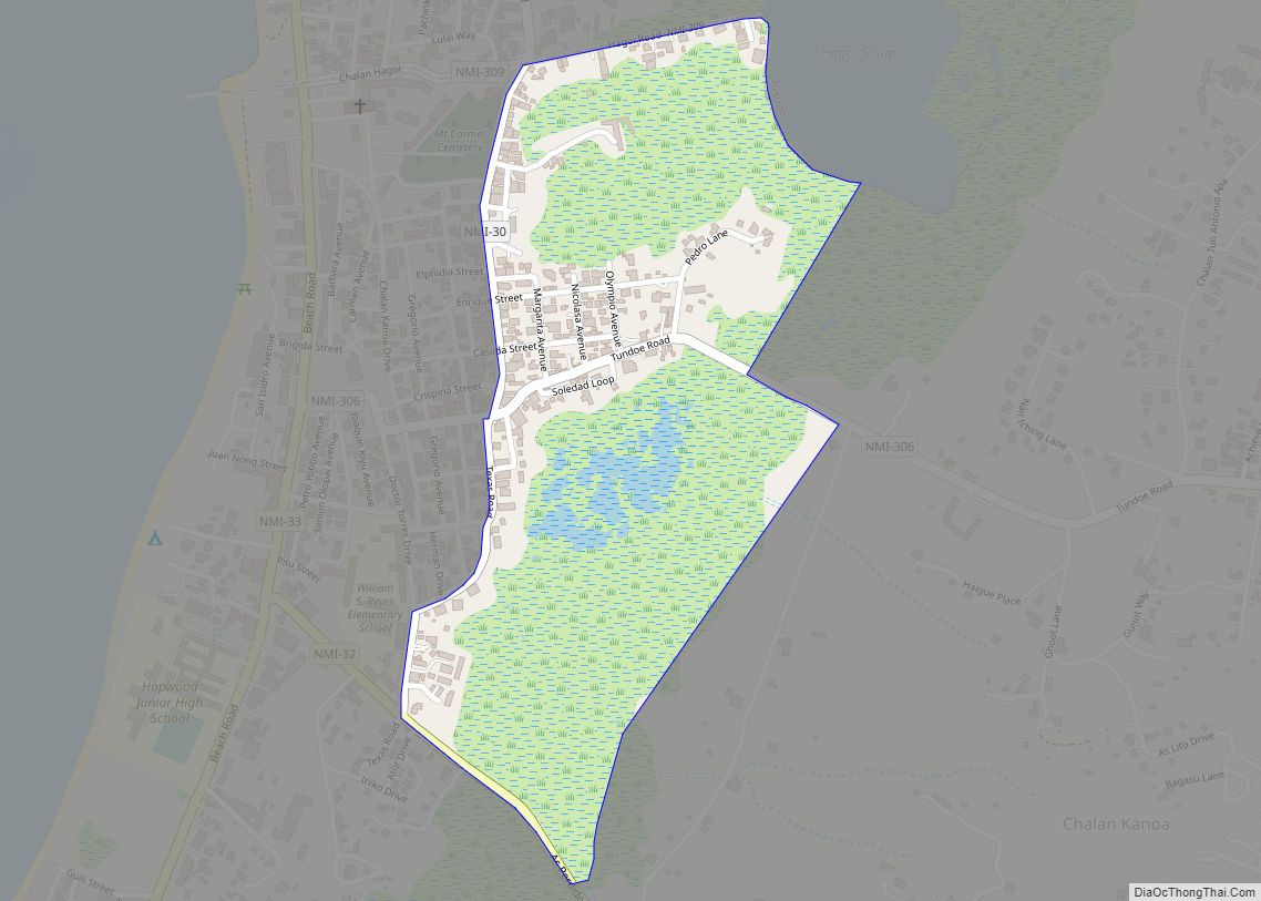
Chalan Kanoa II village overview: Name: Chalan Kanoa II village LSAD Code: 47 LSAD Description: village (suffix) FIPS code: 6911850 Online Interactive Map Chalan Kanoa II online map. Source: Basemap layers from Google Map, Open Street Map (OSM), Arcgisonline, Wmflabs. Boundary Data from Database of Global Administrative Areas. Chalan Kanoa II location map. Where is ... Read more
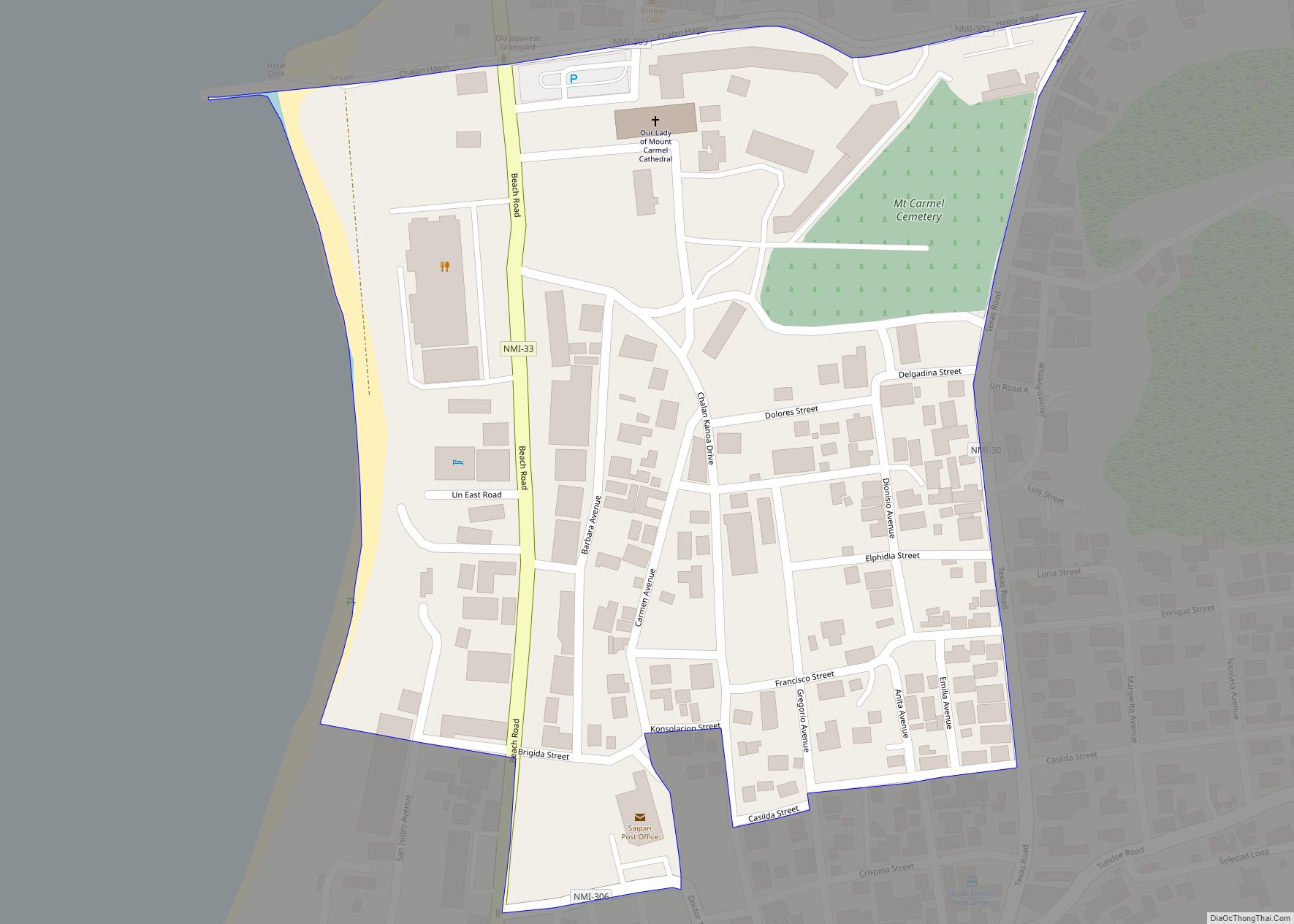
Chalan Kanoa I village overview: Name: Chalan Kanoa I village LSAD Code: 47 LSAD Description: village (suffix) FIPS code: 6911820 Online Interactive Map Chalan Kanoa I online map. Source: Basemap layers from Google Map, Open Street Map (OSM), Arcgisonline, Wmflabs. Boundary Data from Database of Global Administrative Areas. Chalan Kanoa I location map. Where is ... Read more
Chalan Galaide village overview: Name: Chalan Galaide village LSAD Code: 47 LSAD Description: village (suffix) FIPS code: 6908000 Online Interactive Map Chalan Galaide online map. Source: Basemap layers from Google Map, Open Street Map (OSM), Arcgisonline, Wmflabs. Boundary Data from Database of Global Administrative Areas. Chalan Galaide location map. Where is Chalan Galaide village? Chalan ... Read more
