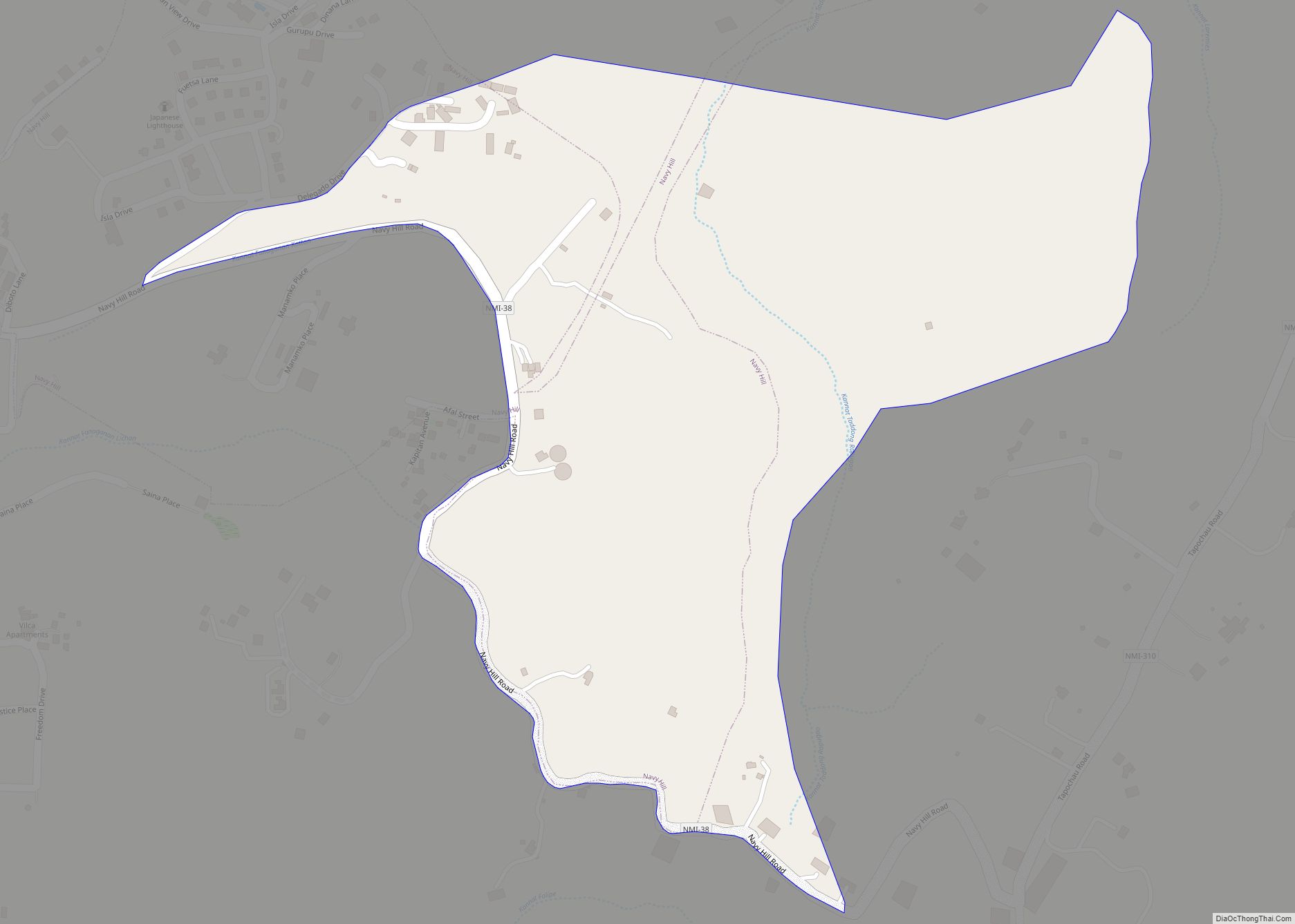
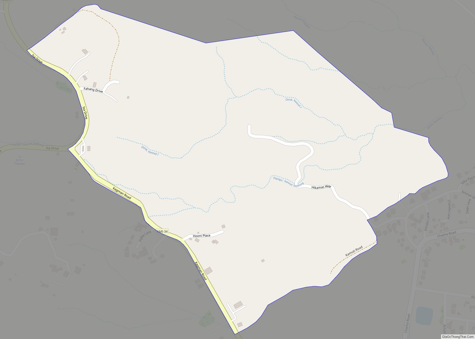
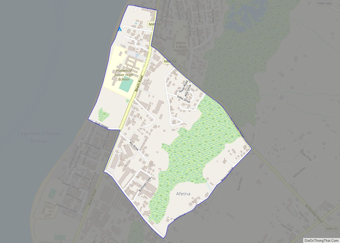
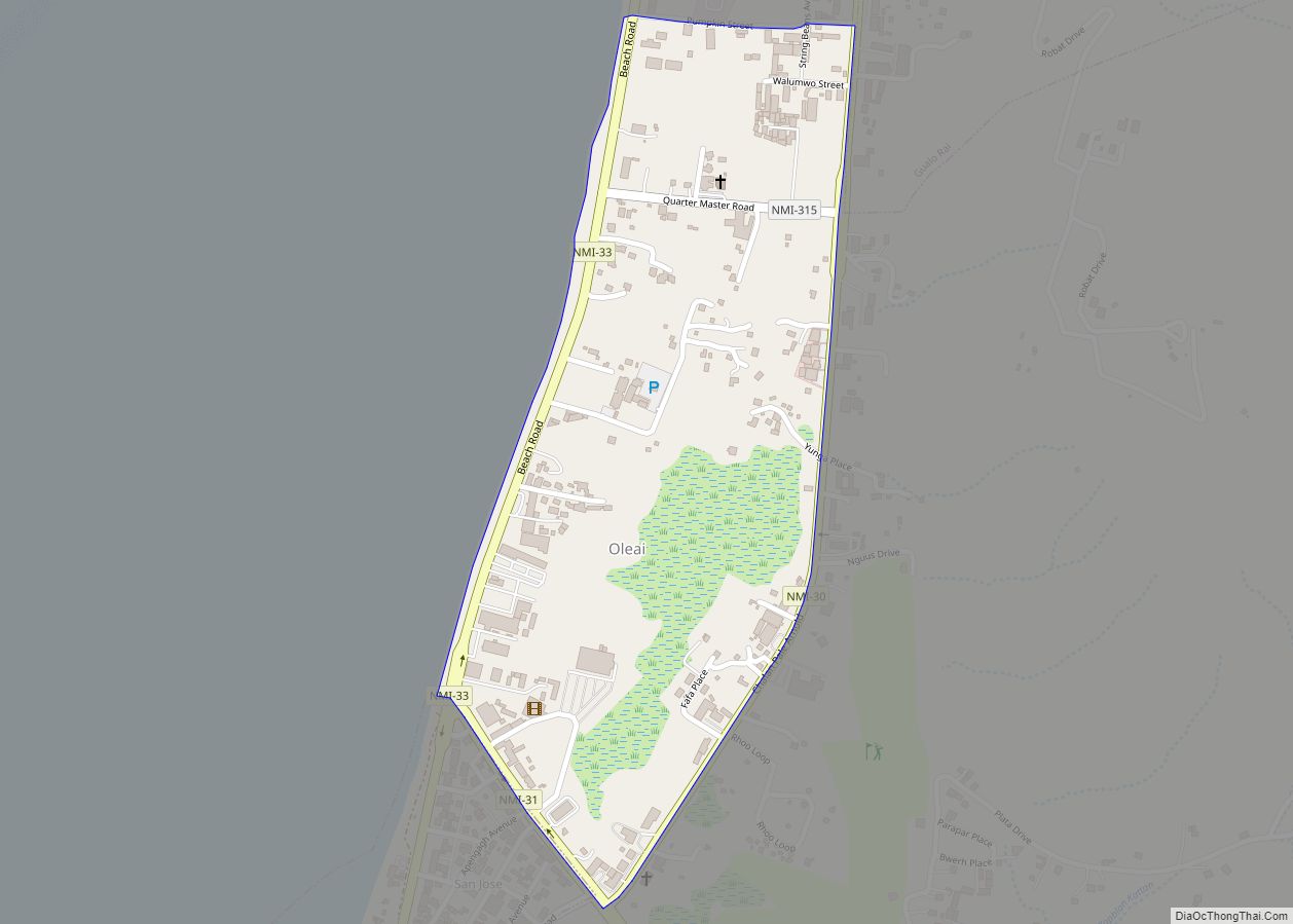
Chalan Galaide village overview: Name: Chalan Galaide village LSAD Code: 47 LSAD Description: village (suffix) FIPS code: 6908000 Online Interactive Map Chalan Galaide online map. Source: Basemap layers from Google Map, Open Street Map (OSM), Arcgisonline, Wmflabs. Boundary Data from Database of Global Administrative Areas. Chalan Galaide location map. Where is Chalan Galaide village? Chalan ... Read more
Northern Mariana Islands Cities and Places
Chacha village overview: Name: Chacha village LSAD Code: 47 LSAD Description: village (suffix) FIPS code: 6907500 Online Interactive Map Chacha online map. Source: Basemap layers from Google Map, Open Street Map (OSM), Arcgisonline, Wmflabs. Boundary Data from Database of Global Administrative Areas. Chacha location map. Where is Chacha village? Chacha Road Map Chacha city Satellite ... Read more
Chalan Piao village overview: Name: Chalan Piao village LSAD Code: 47 LSAD Description: village (suffix) FIPS code: 6913500 Online Interactive Map Chalan Piao online map. Source: Basemap layers from Google Map, Open Street Map (OSM), Arcgisonline, Wmflabs. Boundary Data from Database of Global Administrative Areas. Chalan Piao location map. Where is Chalan Piao village? Chalan ... Read more
Chalan Laulau village overview: Name: Chalan Laulau village LSAD Code: 47 LSAD Description: village (suffix) FIPS code: 6913000 Online Interactive Map Chalan Laulau online map. Source: Basemap layers from Google Map, Open Street Map (OSM), Arcgisonline, Wmflabs. Boundary Data from Database of Global Administrative Areas. Chalan Laulau location map. Where is Chalan Laulau village? Chalan ... Read more
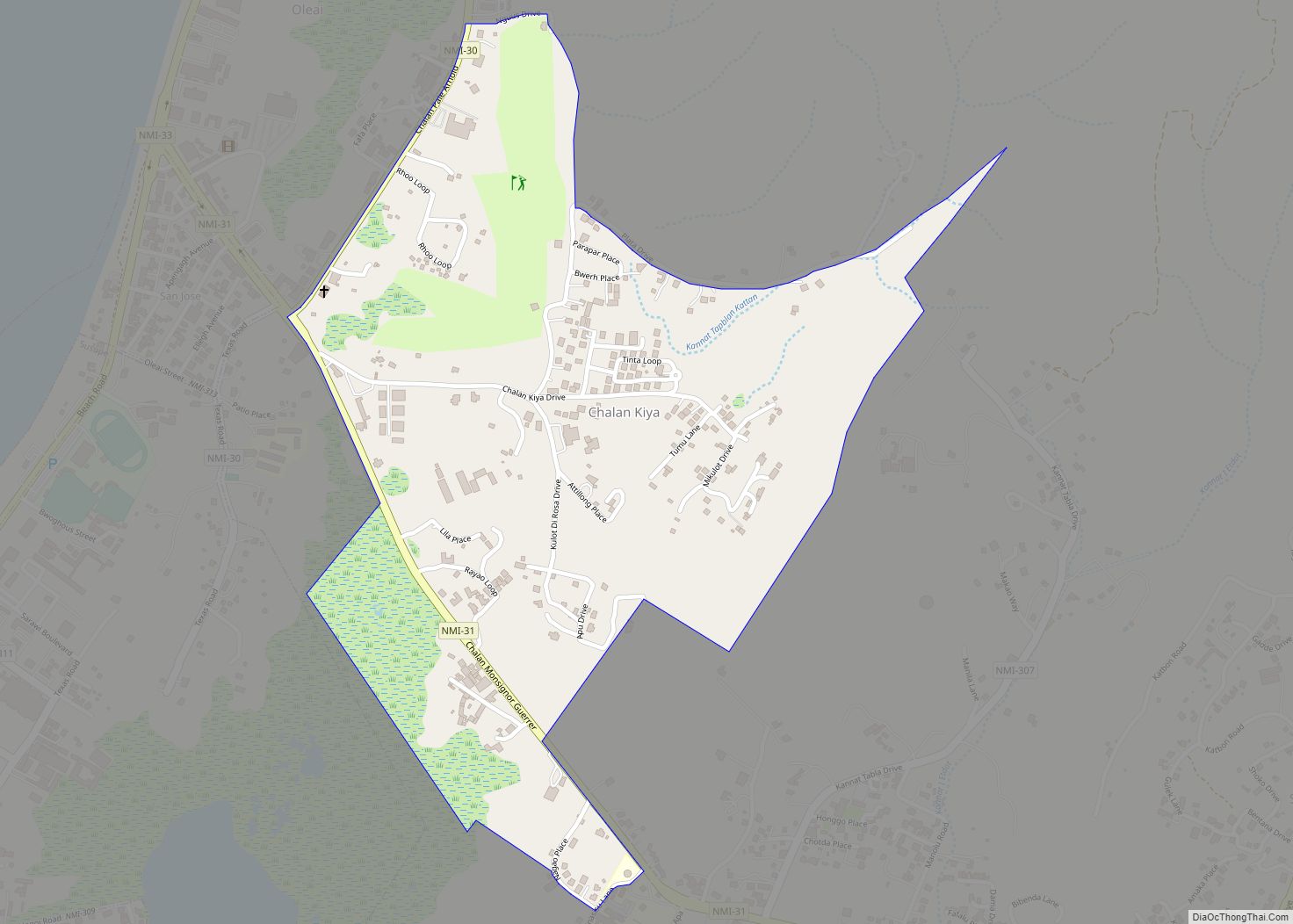
Chalan Kiya village overview: Name: Chalan Kiya village LSAD Code: 47 LSAD Description: village (suffix) FIPS code: 6912000 Online Interactive Map Chalan Kiya online map. Source: Basemap layers from Google Map, Open Street Map (OSM), Arcgisonline, Wmflabs. Boundary Data from Database of Global Administrative Areas. Chalan Kiya location map. Where is Chalan Kiya village? Chalan ... Read more
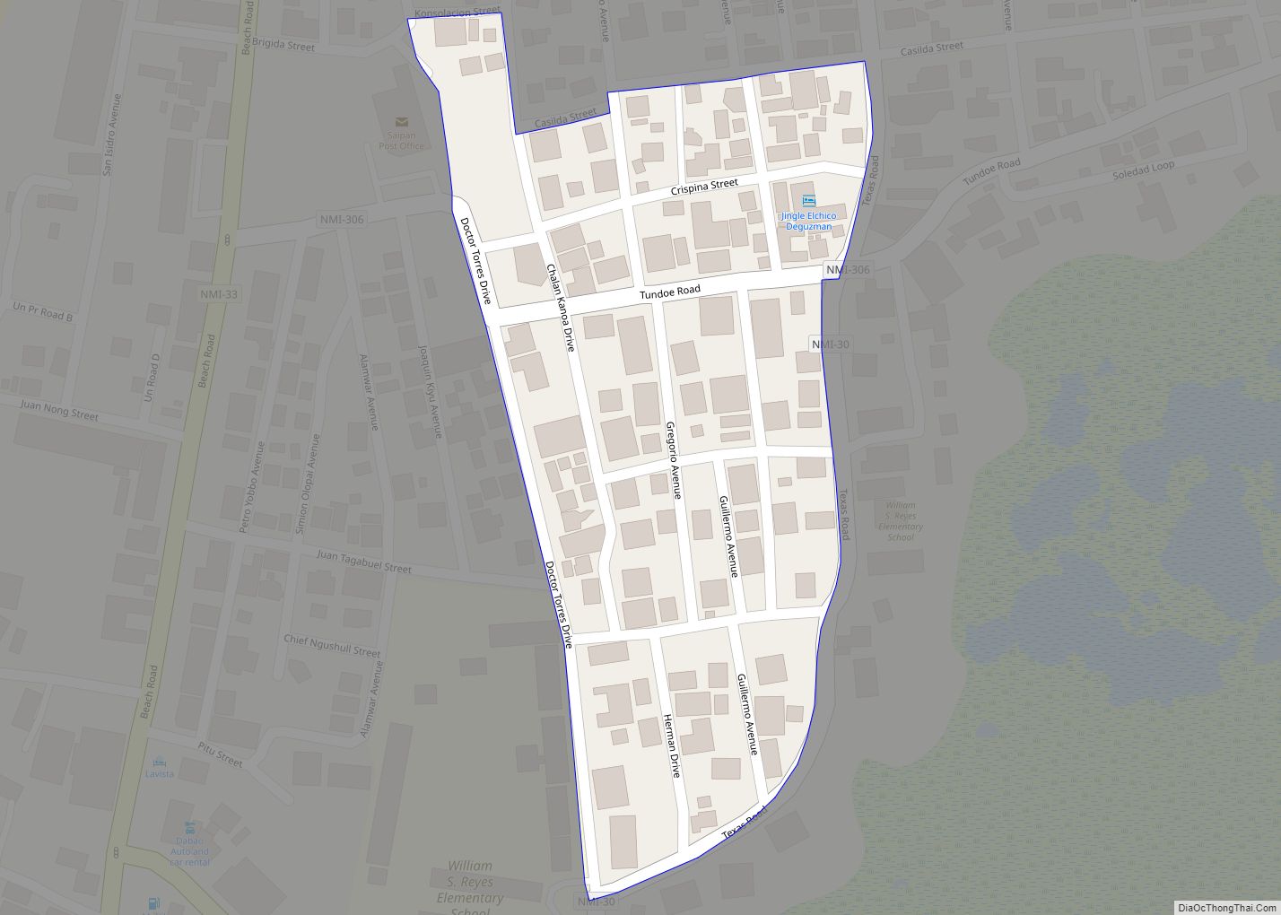
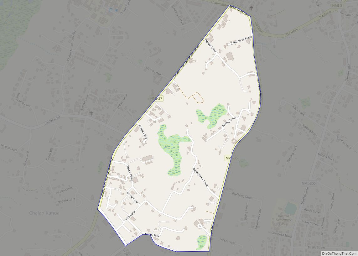
Chalan Kanoa IV village overview: Name: Chalan Kanoa IV village LSAD Code: 47 LSAD Description: village (suffix) FIPS code: 6911870 Online Interactive Map Chalan Kanoa IV online map. Source: Basemap layers from Google Map, Open Street Map (OSM), Arcgisonline, Wmflabs. Boundary Data from Database of Global Administrative Areas. Chalan Kanoa IV location map. Where is ... Read more
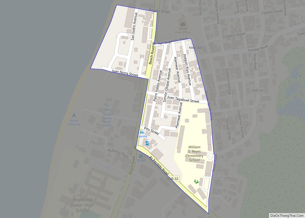
Chalan Kanoa III village overview: Name: Chalan Kanoa III village LSAD Code: 47 LSAD Description: village (suffix) FIPS code: 6911860 Online Interactive Map Chalan Kanoa III online map. Source: Basemap layers from Google Map, Open Street Map (OSM), Arcgisonline, Wmflabs. Boundary Data from Database of Global Administrative Areas. Chalan Kanoa III location map. Where is ... Read more
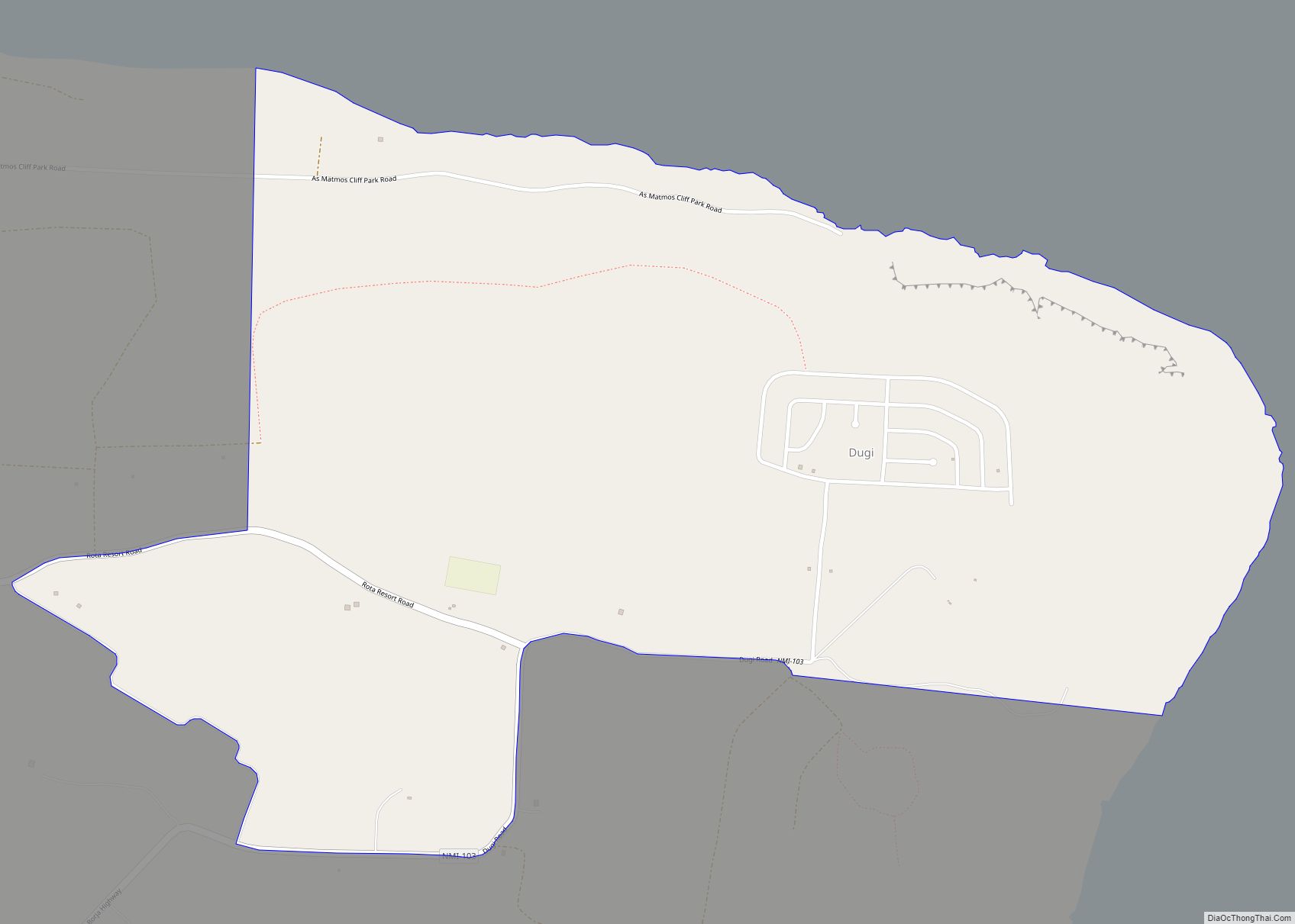
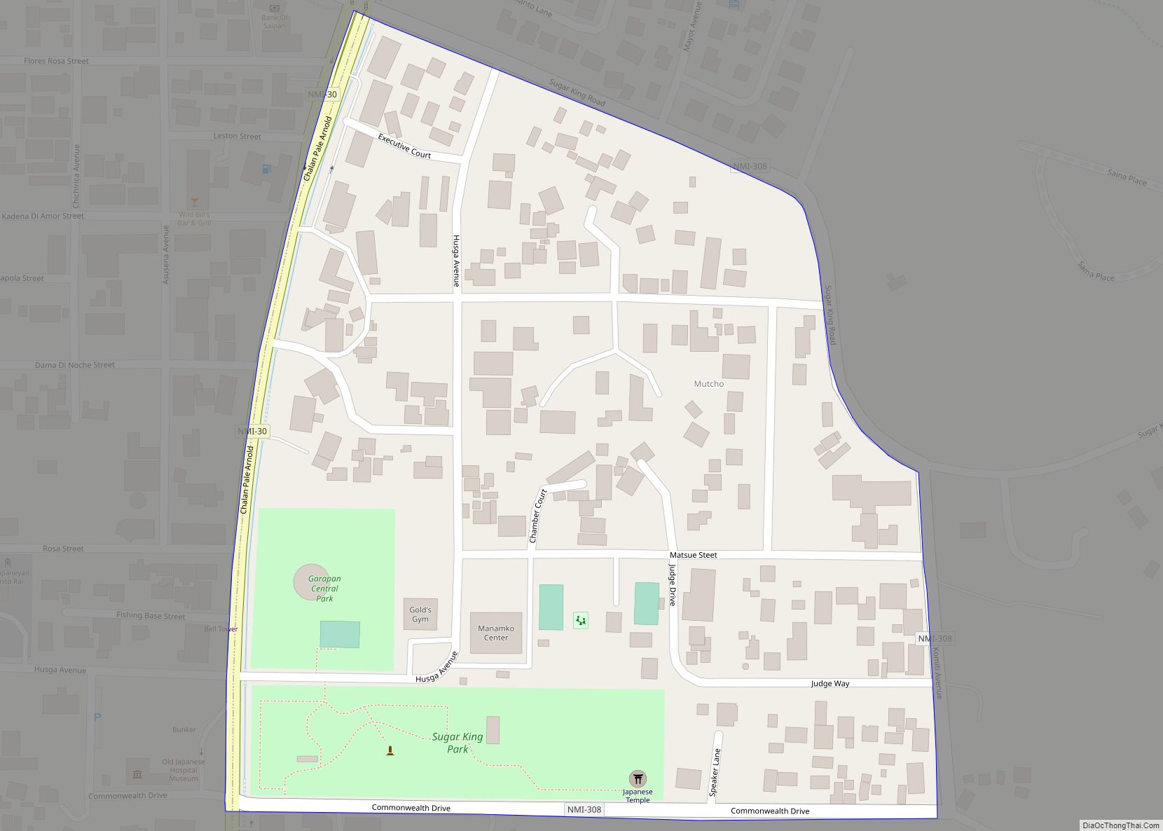
Duge village overview: Name: Duge village LSAD Code: 47 LSAD Description: village (suffix) FIPS code: 6914550 Online Interactive Map Duge online map. Source: Basemap layers from Google Map, Open Street Map (OSM), Arcgisonline, Wmflabs. Boundary Data from Database of Global Administrative Areas. Duge location map. Where is Duge village? Duge Road Map Duge city Satellite ... Read more
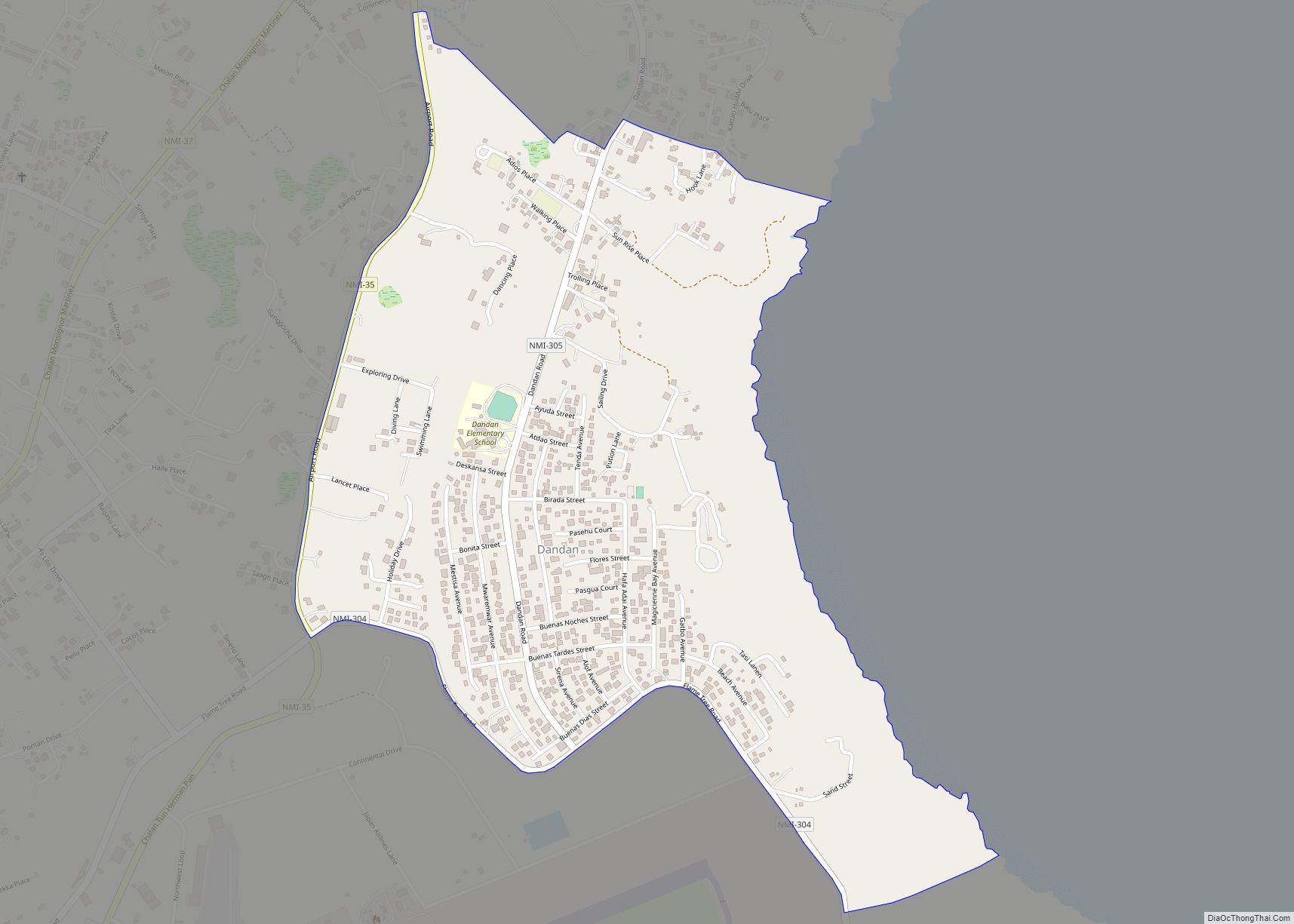
Dandan village overview: Name: Dandan village LSAD Code: 47 LSAD Description: village (suffix) FIPS code: 6913690 Online Interactive Map Dandan online map. Source: Basemap layers from Google Map, Open Street Map (OSM), Arcgisonline, Wmflabs. Boundary Data from Database of Global Administrative Areas. Dandan location map. Where is Dandan village? Dandan Road Map Dandan city Satellite ... Read more
Dagu village overview: Name: Dagu village LSAD Code: 47 LSAD Description: village (suffix) FIPS code: 6913620 Online Interactive Map Dagu online map. Source: Basemap layers from Google Map, Open Street Map (OSM), Arcgisonline, Wmflabs. Boundary Data from Database of Global Administrative Areas. Dagu location map. Where is Dagu village? Dagu Road Map Dagu city Satellite ... Read more
China Town village overview: Name: China Town village LSAD Code: 47 LSAD Description: village (suffix) FIPS code: 6913610 Online Interactive Map China Town online map. Source: Basemap layers from Google Map, Open Street Map (OSM), Arcgisonline, Wmflabs. Boundary Data from Database of Global Administrative Areas. China Town location map. Where is China Town village? China ... Read more
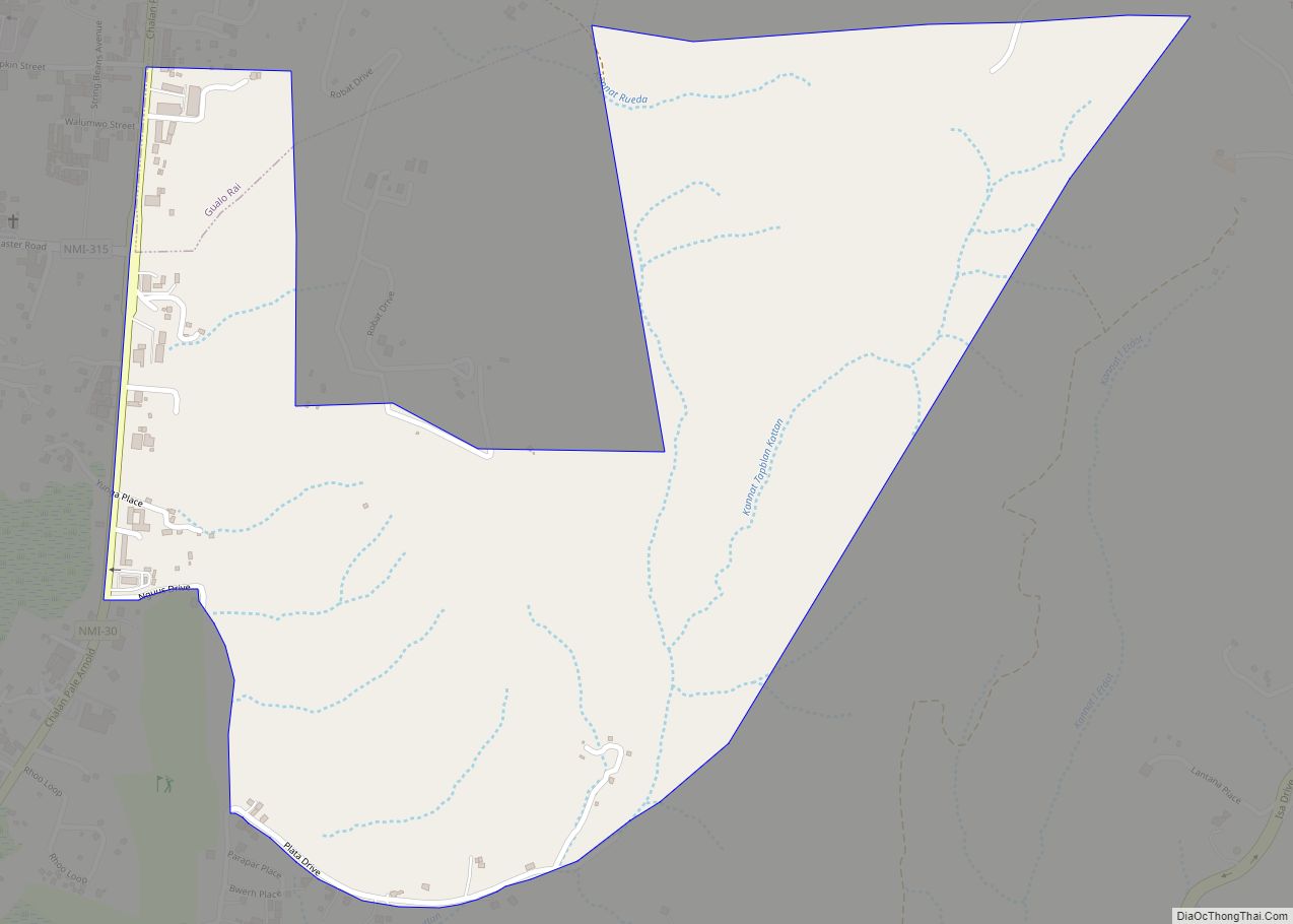
Chalan Rueda village overview: Name: Chalan Rueda village LSAD Code: 47 LSAD Description: village (suffix) FIPS code: 6913600 Online Interactive Map Chalan Rueda online map. Source: Basemap layers from Google Map, Open Street Map (OSM), Arcgisonline, Wmflabs. Boundary Data from Database of Global Administrative Areas. Chalan Rueda location map. Where is Chalan Rueda village? Chalan ... Read more
