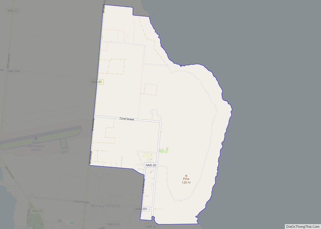
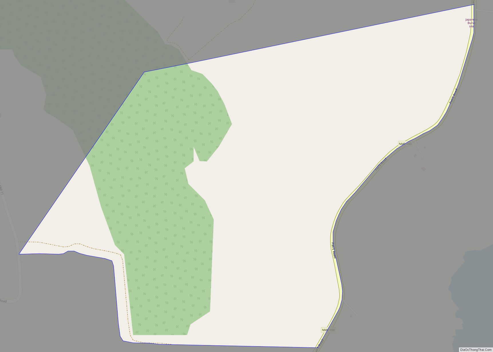
Eastern Tinian (Marpo Valley) village overview: Name: Eastern Tinian (Marpo Valley) village LSAD Code: 47 LSAD Description: village (suffix) FIPS code: 6914650 Online Interactive Map Eastern Tinian online map. Source: Basemap layers from Google Map, Open Street Map (OSM), Arcgisonline, Wmflabs. Boundary Data from Database of Global Administrative Areas. Eastern Tinian location map. Where is ... Read more
Northern Mariana Islands Cities and Places
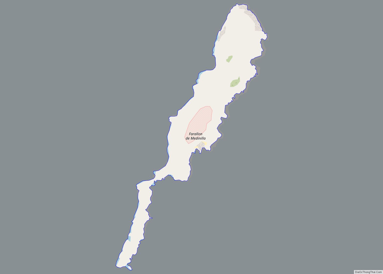
Farallon de Medinilla village overview: Name: Farallon de Medinilla village LSAD Code: 47 LSAD Description: village (suffix) FIPS code: 6914850 Online Interactive Map Farallon de Medinilla online map. Source: Basemap layers from Google Map, Open Street Map (OSM), Arcgisonline, Wmflabs. Boundary Data from Database of Global Administrative Areas. Farallon de Medinilla location map. Where is ... Read more
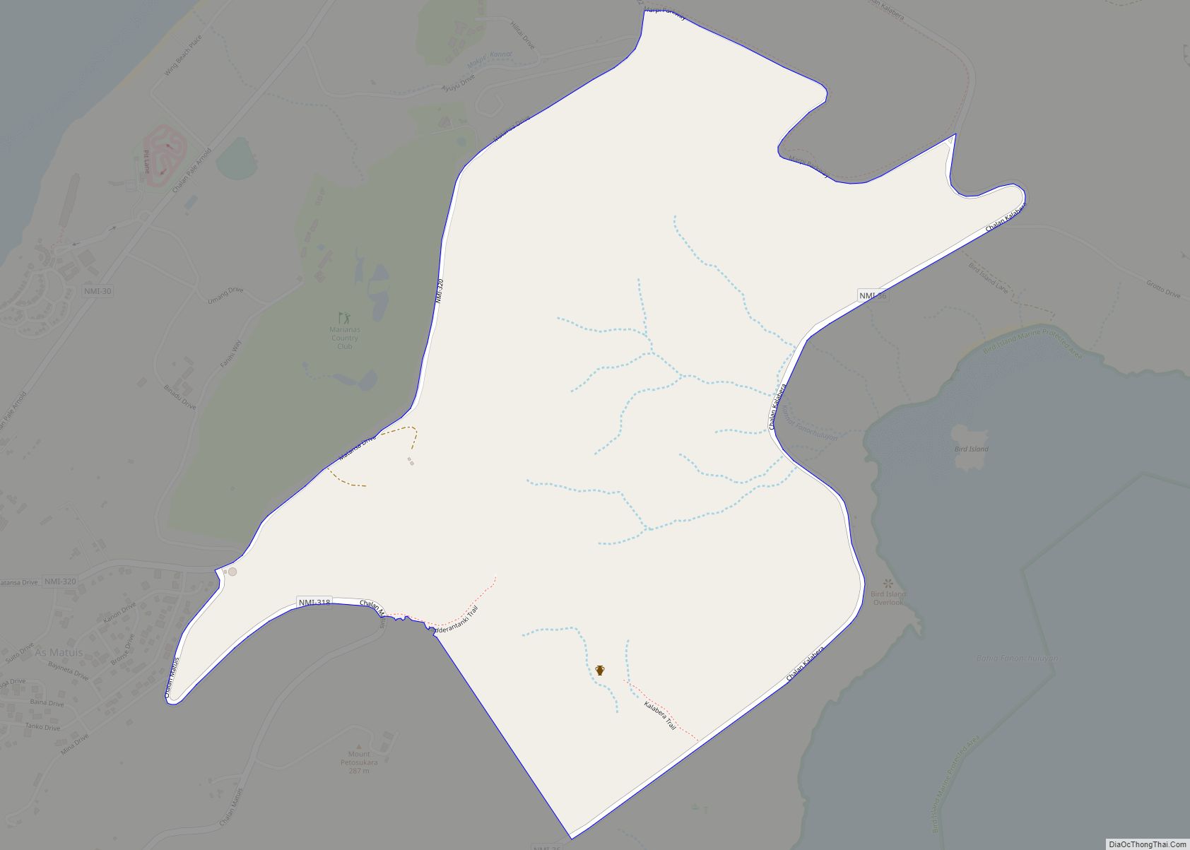
Fanonchuluyan village overview: Name: Fanonchuluyan village LSAD Code: 47 LSAD Description: village (suffix) FIPS code: 6914800 Online Interactive Map Fanonchuluyan online map. Source: Basemap layers from Google Map, Open Street Map (OSM), Arcgisonline, Wmflabs. Boundary Data from Database of Global Administrative Areas. Fanonchuluyan location map. Where is Fanonchuluyan village? Fanonchuluyan Road Map Fanonchuluyan city Satellite ... Read more
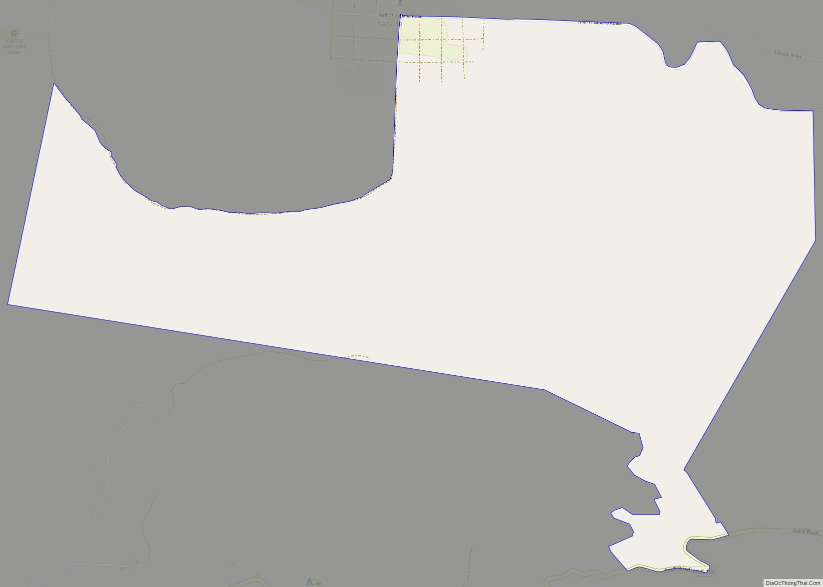
Fanlagon village overview: Name: Fanlagon village LSAD Code: 47 LSAD Description: village (suffix) FIPS code: 6914750 Online Interactive Map Fanlagon online map. Source: Basemap layers from Google Map, Open Street Map (OSM), Arcgisonline, Wmflabs. Boundary Data from Database of Global Administrative Areas. Fanlagon location map. Where is Fanlagon village? Fanlagon Road Map Fanlagon city Satellite ... Read more
Fananganan village overview: Name: Fananganan village LSAD Code: 47 LSAD Description: village (suffix) FIPS code: 6914700 Online Interactive Map Fananganan online map. Source: Basemap layers from Google Map, Open Street Map (OSM), Arcgisonline, Wmflabs. Boundary Data from Database of Global Administrative Areas. Fananganan location map. Where is Fananganan village? Fananganan Road Map Fananganan city Satellite ... Read more
Gampapa village overview: Name: Gampapa village LSAD Code: 47 LSAD Description: village (suffix) FIPS code: 6915550 Online Interactive Map Gampapa online map. Source: Basemap layers from Google Map, Open Street Map (OSM), Arcgisonline, Wmflabs. Boundary Data from Database of Global Administrative Areas. Gampapa location map. Where is Gampapa village? Gampapa Road Map Gampapa city Satellite ... Read more
Gagani village overview: Name: Gagani village LSAD Code: 47 LSAD Description: village (suffix) FIPS code: 6915500 Online Interactive Map Gagani online map. Source: Basemap layers from Google Map, Open Street Map (OSM), Arcgisonline, Wmflabs. Boundary Data from Database of Global Administrative Areas. Gagani location map. Where is Gagani village? Gagani Road Map Gagani city Satellite ... Read more
Forbidden Island village overview: Name: Forbidden Island village LSAD Code: 47 LSAD Description: village (suffix) FIPS code: 6915000 Online Interactive Map Forbidden Island online map. Source: Basemap layers from Google Map, Open Street Map (OSM), Arcgisonline, Wmflabs. Boundary Data from Database of Global Administrative Areas. Forbidden Island location map. Where is Forbidden Island village? Forbidden ... Read more
Finata village overview: Name: Finata village LSAD Code: 47 LSAD Description: village (suffix) FIPS code: 6914950 Online Interactive Map Finata online map. Source: Basemap layers from Google Map, Open Street Map (OSM), Arcgisonline, Wmflabs. Boundary Data from Database of Global Administrative Areas. Finata location map. Where is Finata village? Finata Road Map Finata city Satellite ... Read more
Finasisu village overview: Name: Finasisu village LSAD Code: 47 LSAD Description: village (suffix) FIPS code: 6914900 Online Interactive Map Finasisu online map. Source: Basemap layers from Google Map, Open Street Map (OSM), Arcgisonline, Wmflabs. Boundary Data from Database of Global Administrative Areas. Finasisu location map. Where is Finasisu village? Finasisu Road Map Finasisu city Satellite ... Read more
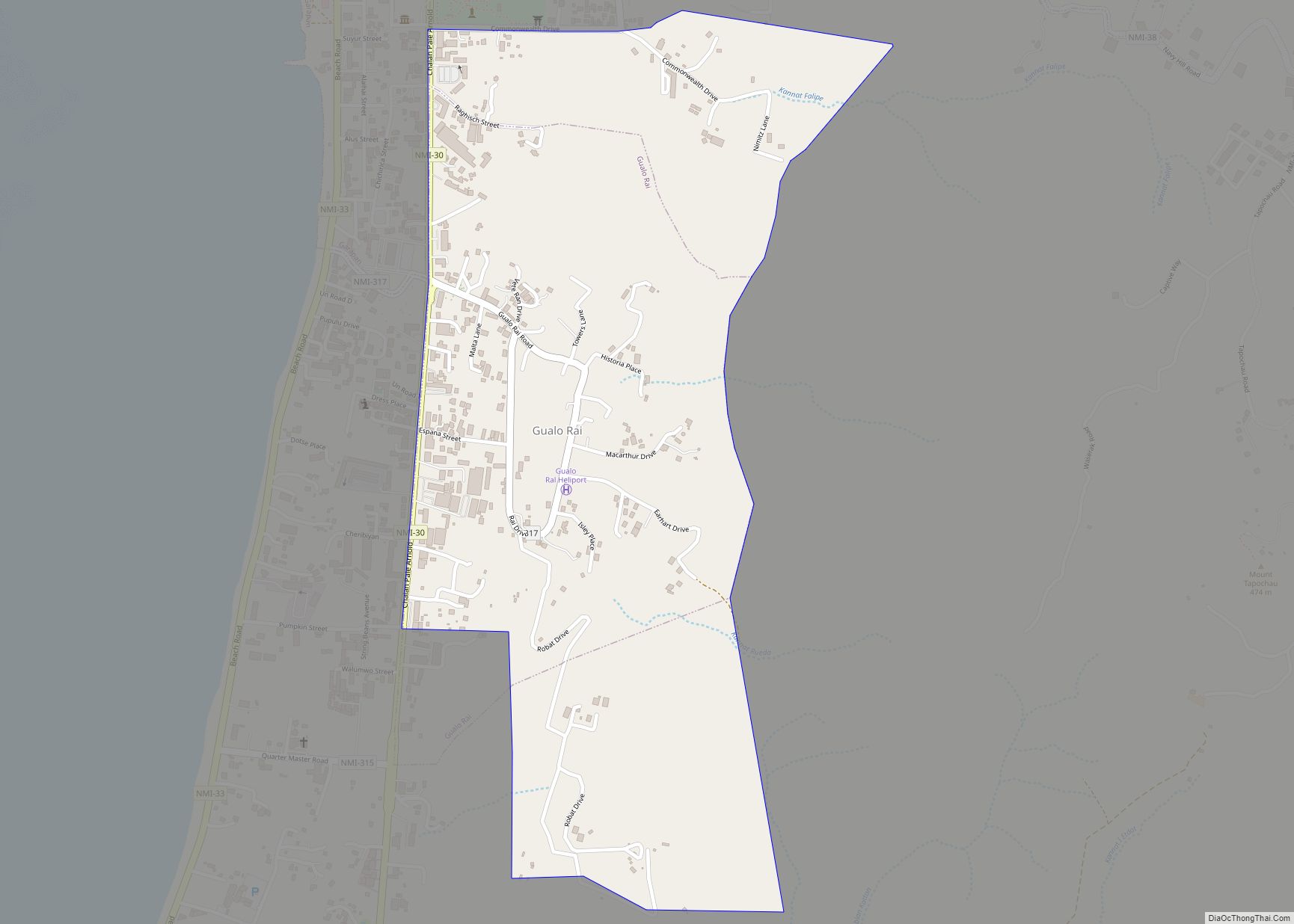
Gualo Rai village overview: Name: Gualo Rai village LSAD Code: 47 LSAD Description: village (suffix) FIPS code: 6917900 Online Interactive Map Gualo Rai online map. Source: Basemap layers from Google Map, Open Street Map (OSM), Arcgisonline, Wmflabs. Boundary Data from Database of Global Administrative Areas. Gualo Rai location map. Where is Gualo Rai village? Gualo ... Read more
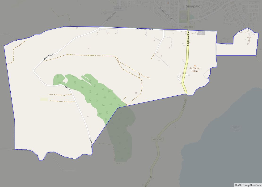
Ginalangan (Chudan) village overview: Name: Ginalangan (Chudan) village LSAD Code: 47 LSAD Description: village (suffix) FIPS code: 6917850 Online Interactive Map Ginalangan online map. Source: Basemap layers from Google Map, Open Street Map (OSM), Arcgisonline, Wmflabs. Boundary Data from Database of Global Administrative Areas. Ginalangan location map. Where is Ginalangan (Chudan) village? Ginalangan Road Map ... Read more
