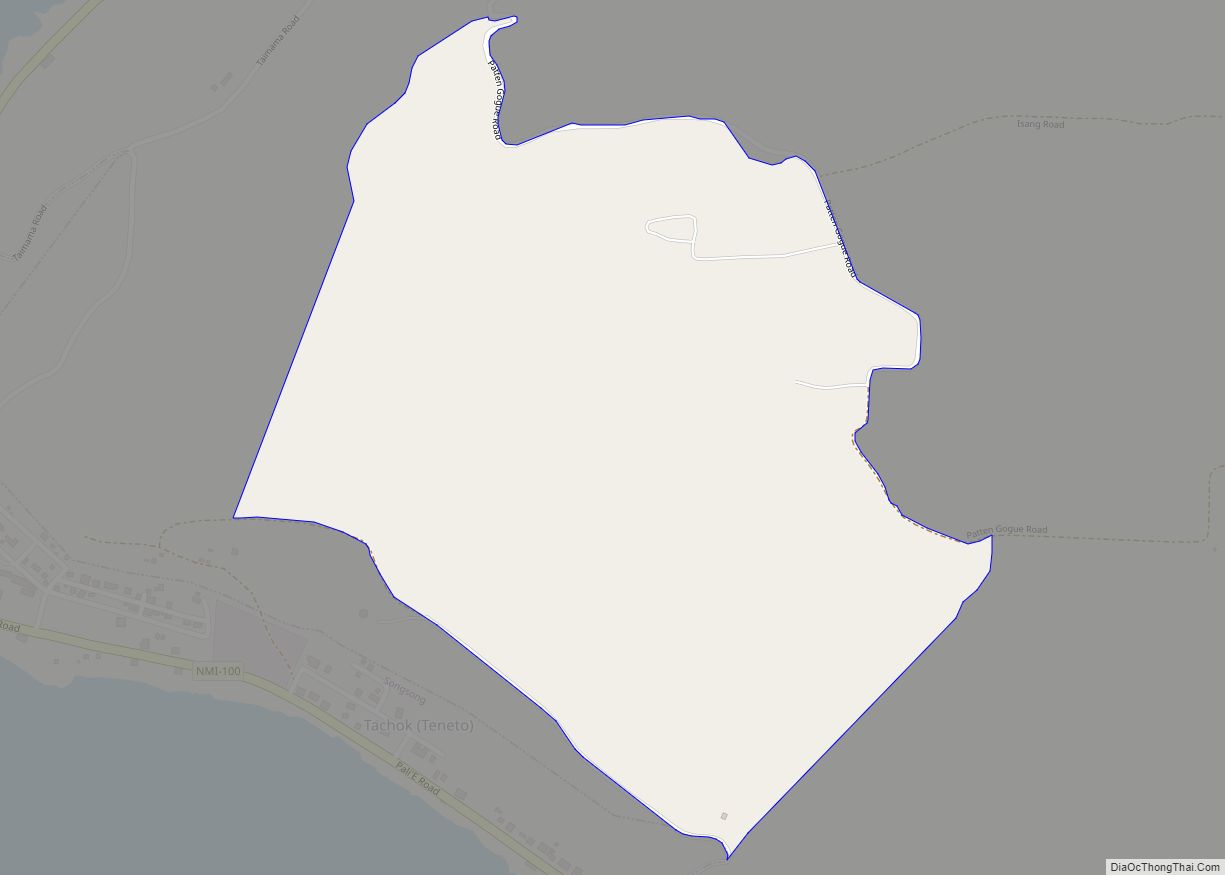
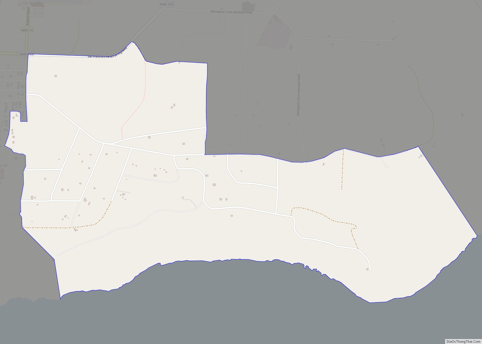
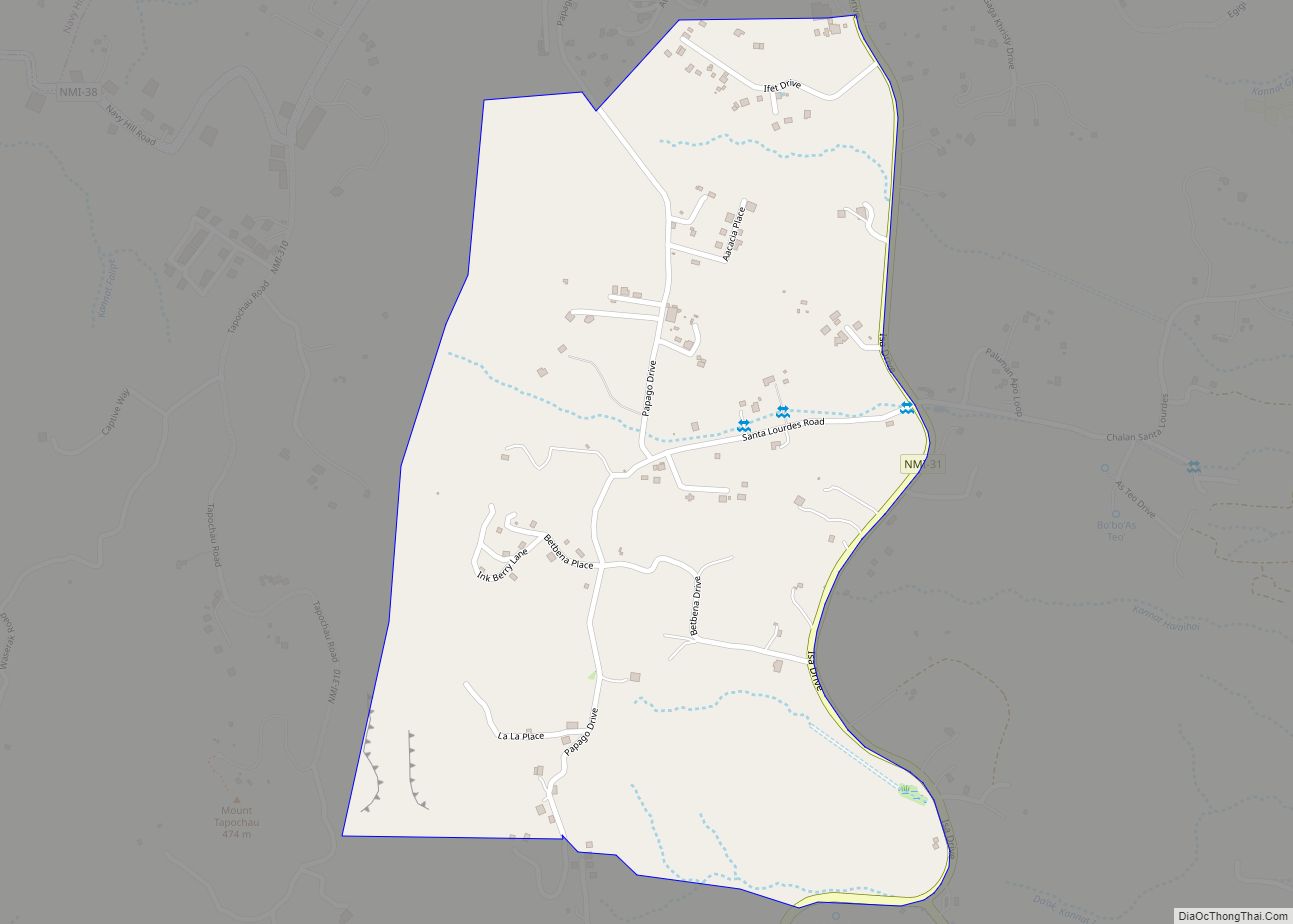
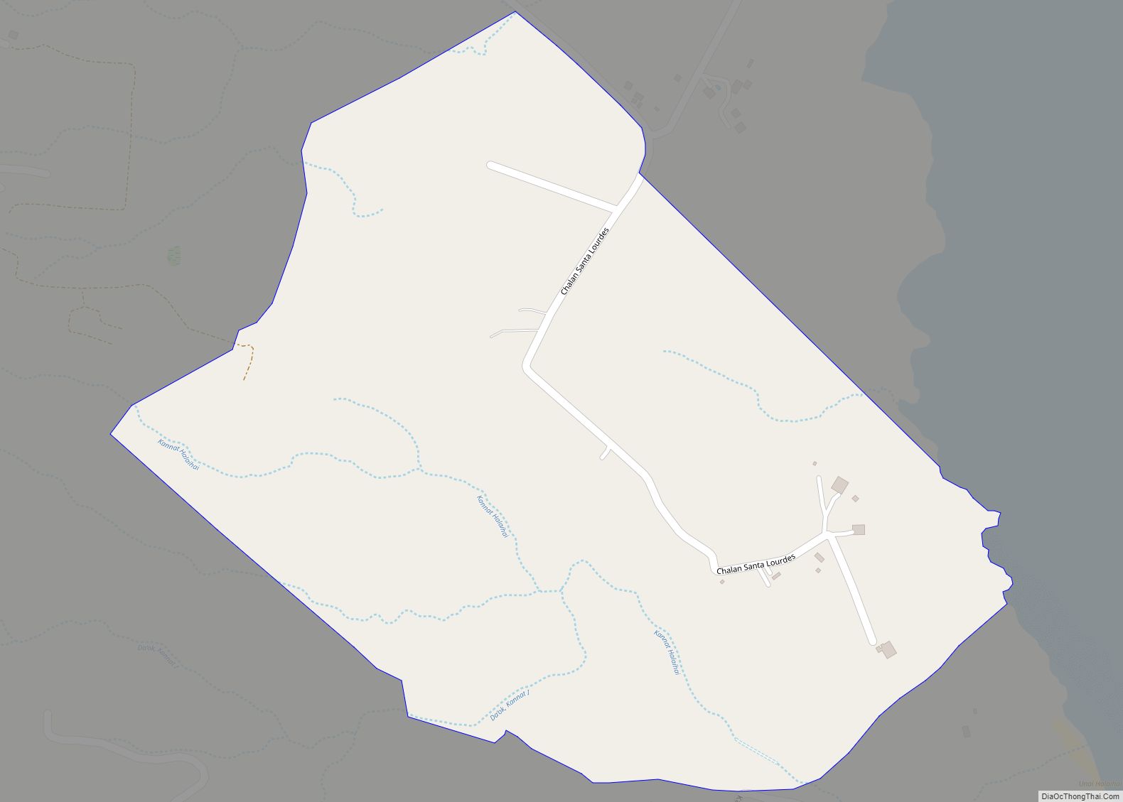
Gayaugan (Kaan) village overview: Name: Gayaugan (Kaan) village LSAD Code: 47 LSAD Description: village (suffix) FIPS code: 6917800 Online Interactive Map Gayaugan online map. Source: Basemap layers from Google Map, Open Street Map (OSM), Arcgisonline, Wmflabs. Boundary Data from Database of Global Administrative Areas. Gayaugan location map. Where is Gayaugan (Kaan) village? Gayaugan Road Map ... Read more
Northern Mariana Islands Cities and Places
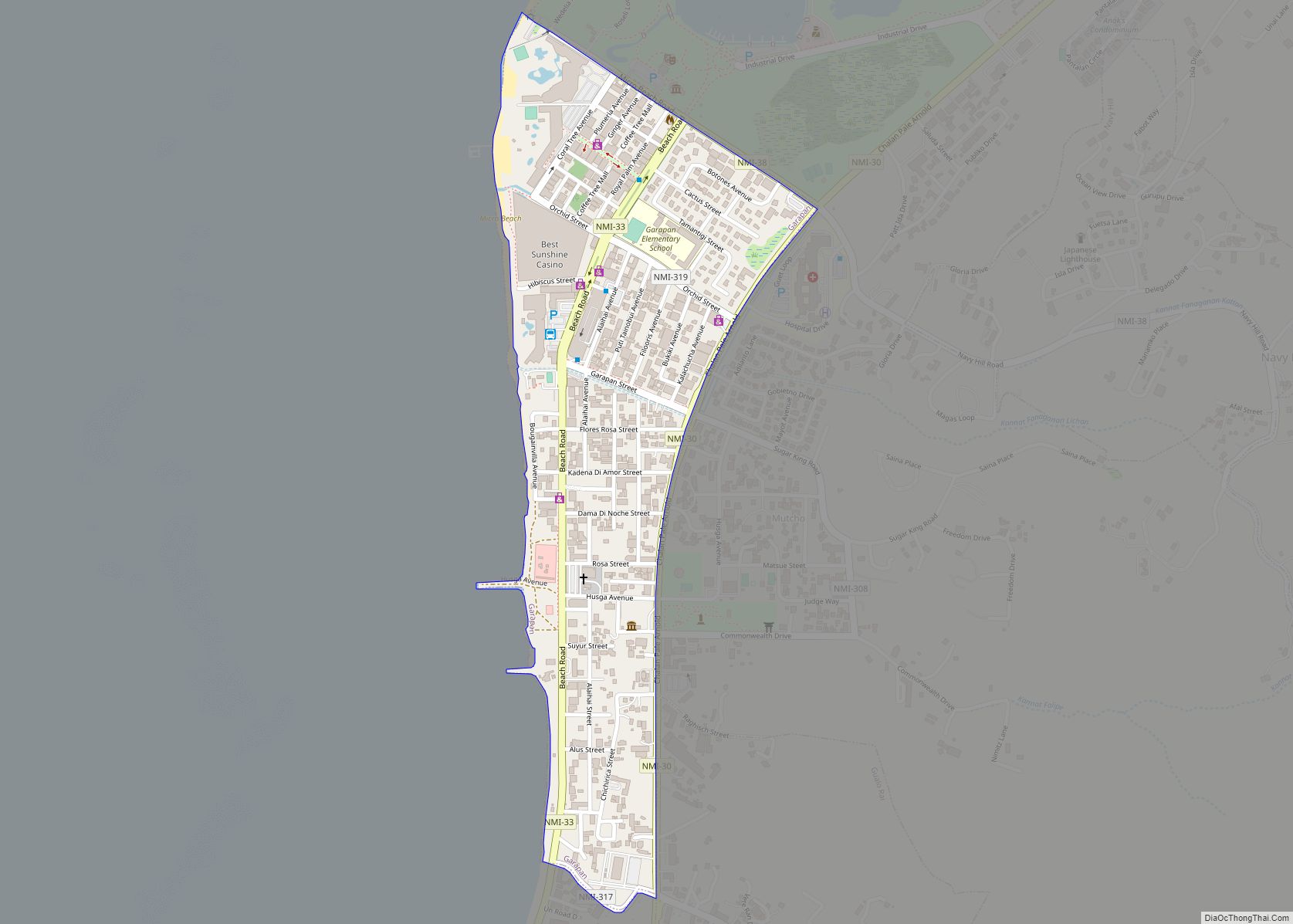
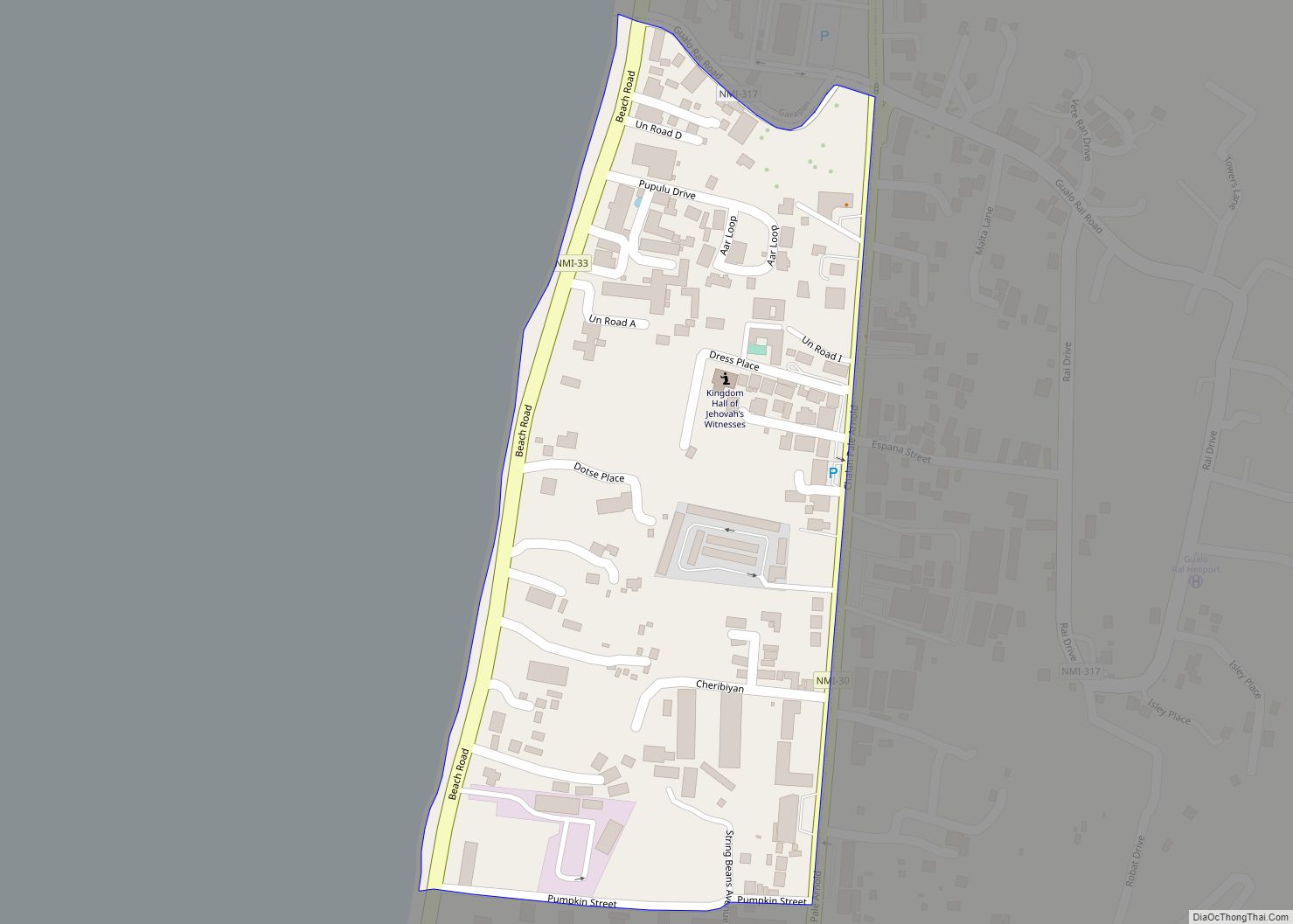
Garapan village overview: Name: Garapan village LSAD Code: 47 LSAD Description: village (suffix) FIPS code: 6917750 Online Interactive Map Garapan online map. Source: Basemap layers from Google Map, Open Street Map (OSM), Arcgisonline, Wmflabs. Boundary Data from Database of Global Administrative Areas. Garapan location map. Where is Garapan village? Garapan Road Map Garapan city Satellite ... Read more
Gaonan village overview: Name: Gaonan village LSAD Code: 47 LSAD Description: village (suffix) FIPS code: 6916000 Online Interactive Map Gaonan online map. Source: Basemap layers from Google Map, Open Street Map (OSM), Arcgisonline, Wmflabs. Boundary Data from Database of Global Administrative Areas. Gaonan location map. Where is Gaonan village? Gaonan Road Map Gaonan city Satellite ... Read more
I Denni village overview: Name: I Denni village LSAD Code: 47 LSAD Description: village (suffix) FIPS code: 6918100 Online Interactive Map I Denni online map. Source: Basemap layers from Google Map, Open Street Map (OSM), Arcgisonline, Wmflabs. Boundary Data from Database of Global Administrative Areas. I Denni location map. Where is I Denni village? I ... Read more
I Chenchon village overview: Name: I Chenchon village LSAD Code: 47 LSAD Description: village (suffix) FIPS code: 6918050 Online Interactive Map I Chenchon online map. Source: Basemap layers from Google Map, Open Street Map (OSM), Arcgisonline, Wmflabs. Boundary Data from Database of Global Administrative Areas. I Chenchon location map. Where is I Chenchon village? I ... Read more
I Akgak village overview: Name: I Akgak village LSAD Code: 47 LSAD Description: village (suffix) FIPS code: 6918020 Online Interactive Map I Akgak online map. Source: Basemap layers from Google Map, Open Street Map (OSM), Arcgisonline, Wmflabs. Boundary Data from Database of Global Administrative Areas. I Akgak location map. Where is I Akgak village? I ... Read more
Hilaihai village overview: Name: Hilaihai village LSAD Code: 47 LSAD Description: village (suffix) FIPS code: 6918000 Online Interactive Map Hilaihai online map. Source: Basemap layers from Google Map, Open Street Map (OSM), Arcgisonline, Wmflabs. Boundary Data from Database of Global Administrative Areas. Hilaihai location map. Where is Hilaihai village? Hilaihai Road Map Hilaihai city Satellite ... Read more
Guguan village overview: Name: Guguan village LSAD Code: 47 LSAD Description: village (suffix) FIPS code: 6917950 Online Interactive Map Guguan online map. Source: Basemap layers from Google Map, Open Street Map (OSM), Arcgisonline, Wmflabs. Boundary Data from Database of Global Administrative Areas. Guguan location map. Where is Guguan village? Guguan Road Map Guguan city Satellite ... Read more
I Liyang village overview: Name: I Liyang village LSAD Code: 47 LSAD Description: village (suffix) FIPS code: 6918250 Online Interactive Map I Liyang online map. Source: Basemap layers from Google Map, Open Street Map (OSM), Arcgisonline, Wmflabs. Boundary Data from Database of Global Administrative Areas. I Liyang location map. Where is I Liyang village? I ... Read more
I Koridot village overview: Name: I Koridot village LSAD Code: 47 LSAD Description: village (suffix) FIPS code: 6918200 Online Interactive Map I Koridot online map. Source: Basemap layers from Google Map, Open Street Map (OSM), Arcgisonline, Wmflabs. Boundary Data from Database of Global Administrative Areas. I Koridot location map. Where is I Koridot village? I ... Read more
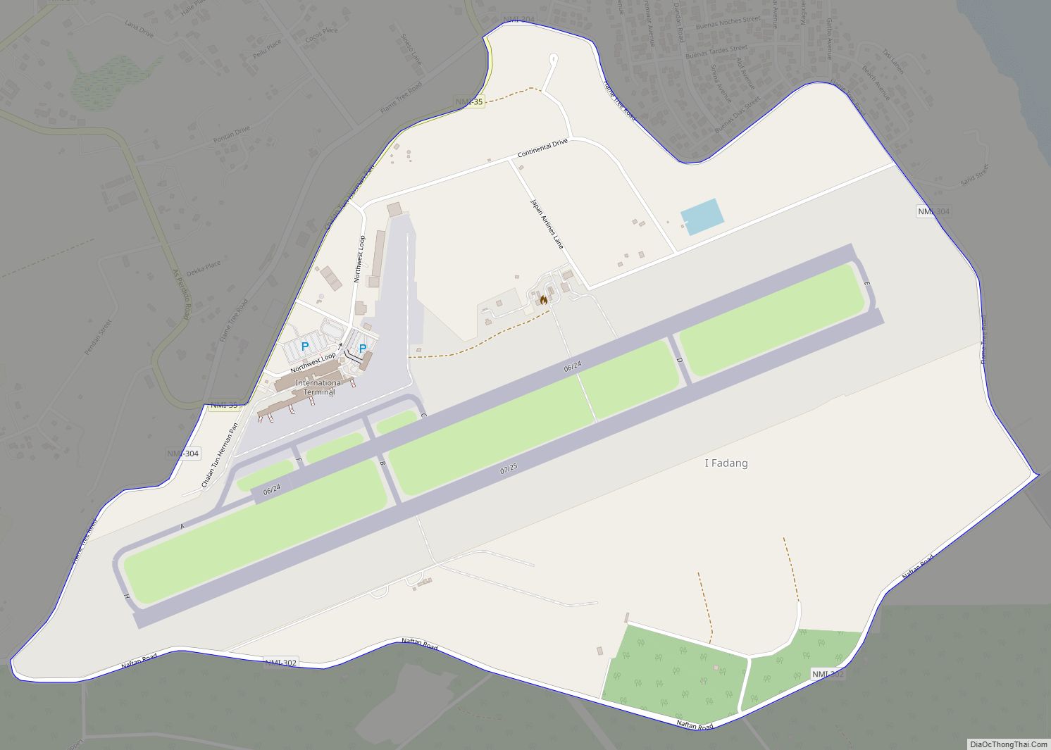
I Fadang village overview: Name: I Fadang village LSAD Code: 47 LSAD Description: village (suffix) FIPS code: 6918150 Online Interactive Map I Fadang online map. Source: Basemap layers from Google Map, Open Street Map (OSM), Arcgisonline, Wmflabs. Boundary Data from Database of Global Administrative Areas. I Fadang location map. Where is I Fadang village? I ... Read more
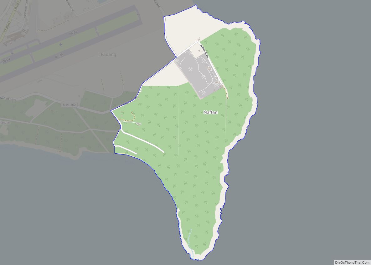
I Naftan village overview: Name: I Naftan village LSAD Code: 47 LSAD Description: village (suffix) FIPS code: 6918350 Online Interactive Map I Naftan online map. Source: Basemap layers from Google Map, Open Street Map (OSM), Arcgisonline, Wmflabs. Boundary Data from Database of Global Administrative Areas. I Naftan location map. Where is I Naftan village? I ... Read more
