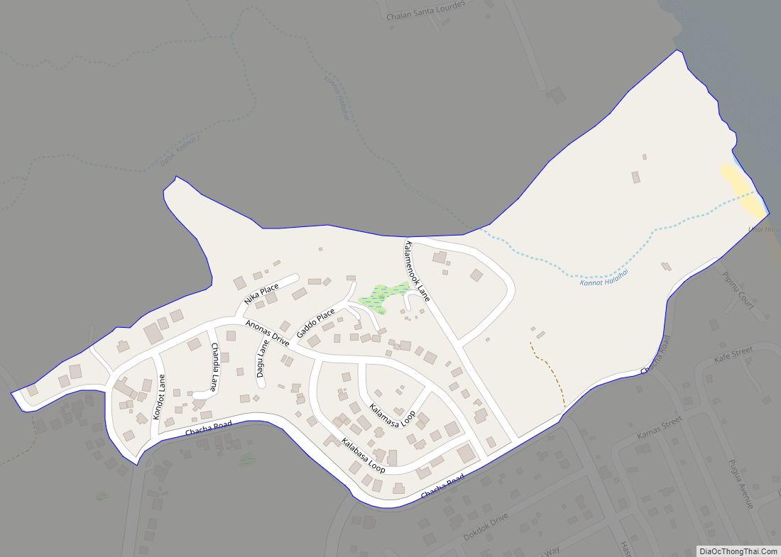
I Maddok village overview: Name: I Maddok village LSAD Code: 47 LSAD Description: village (suffix) FIPS code: 6918300 Online Interactive Map I Maddok online map. Source: Basemap layers from Google Map, Open Street Map (OSM), Arcgisonline, Wmflabs. Boundary Data from Database of Global Administrative Areas. I Maddok location map. Where is I Maddok village? I ... Read more
Northern Mariana Islands Cities and Places
Kagman IV village overview: Name: Kagman IV village LSAD Code: 47 LSAD Description: village (suffix) FIPS code: 6919550 Online Interactive Map Kagman IV online map. Source: Basemap layers from Google Map, Open Street Map (OSM), Arcgisonline, Wmflabs. Boundary Data from Database of Global Administrative Areas. Kagman IV location map. Where is Kagman IV village? Kagman ... Read more
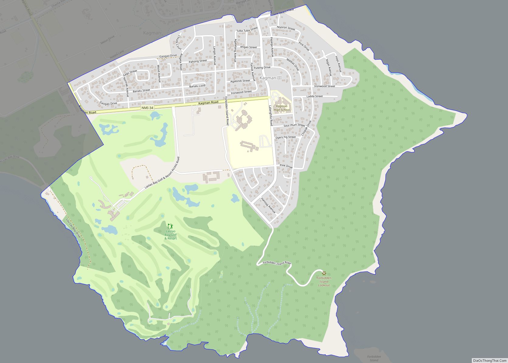
Kagman III village overview: Name: Kagman III village LSAD Code: 47 LSAD Description: village (suffix) FIPS code: 6919540 Online Interactive Map Kagman III online map. Source: Basemap layers from Google Map, Open Street Map (OSM), Arcgisonline, Wmflabs. Boundary Data from Database of Global Administrative Areas. Kagman III location map. Where is Kagman III village? Kagman ... Read more
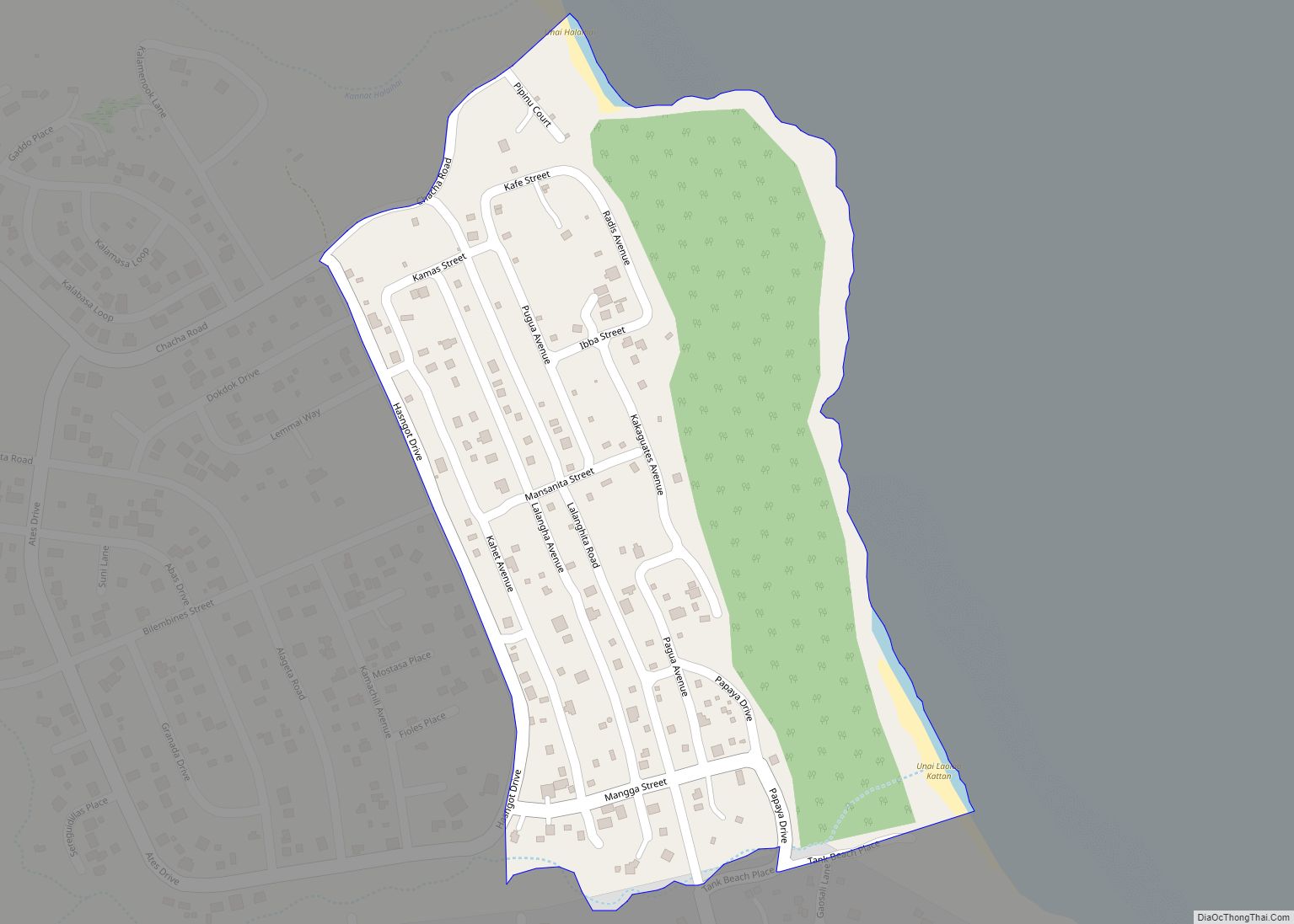
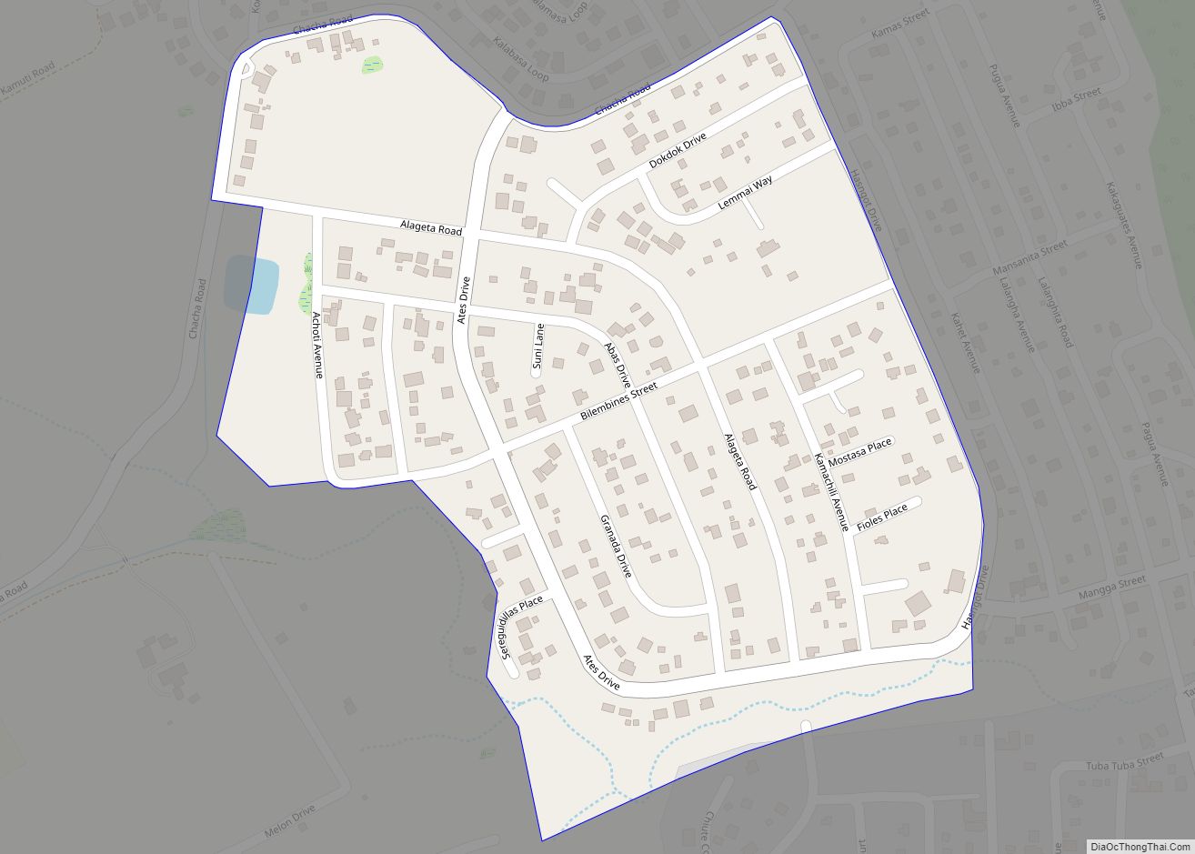
Kagman II village overview: Name: Kagman II village LSAD Code: 47 LSAD Description: village (suffix) FIPS code: 6919530 Online Interactive Map Kagman II online map. Source: Basemap layers from Google Map, Open Street Map (OSM), Arcgisonline, Wmflabs. Boundary Data from Database of Global Administrative Areas. Kagman II location map. Where is Kagman II village? Kagman ... Read more
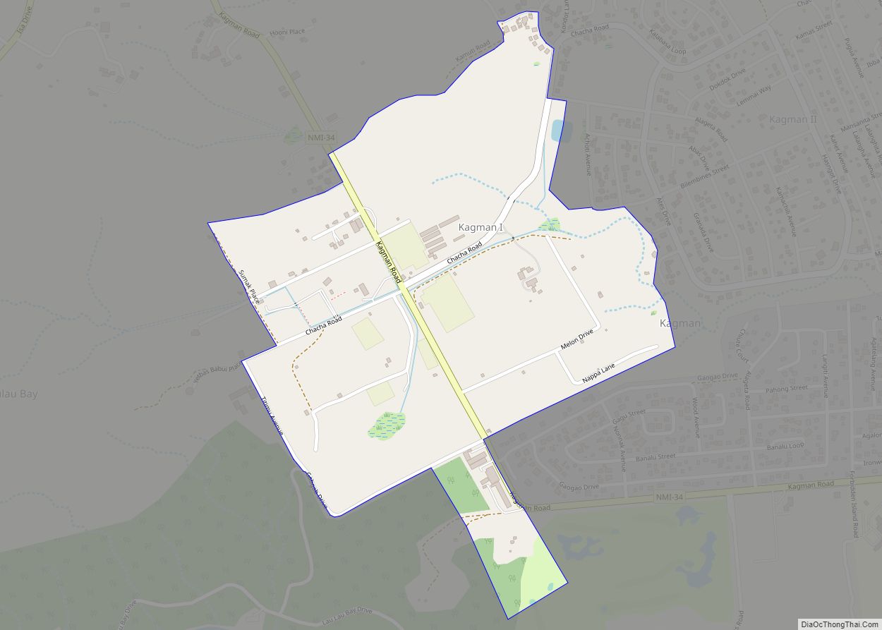
Kagman I village overview: Name: Kagman I village LSAD Code: 47 LSAD Description: village (suffix) FIPS code: 6919520 Online Interactive Map Kagman I online map. Source: Basemap layers from Google Map, Open Street Map (OSM), Arcgisonline, Wmflabs. Boundary Data from Database of Global Administrative Areas. Kagman I location map. Where is Kagman I village? Kagman ... Read more
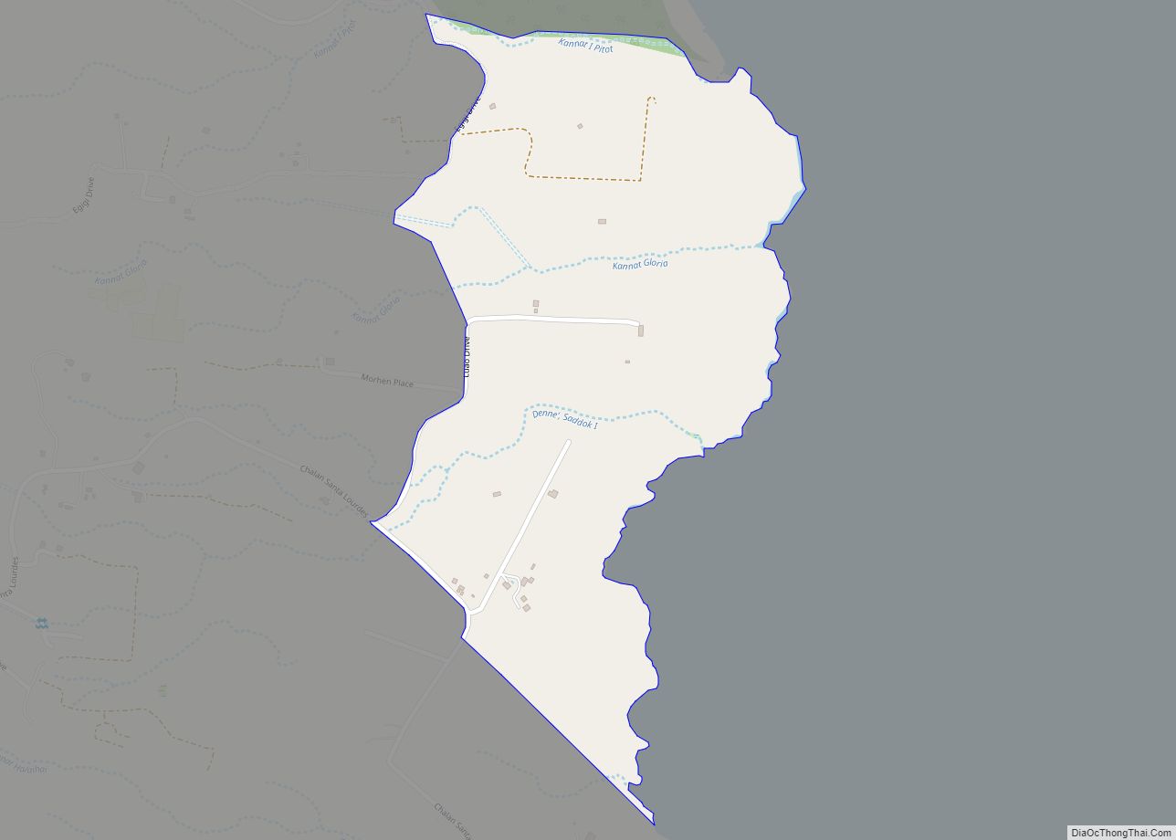
I Pitot village overview: Name: I Pitot village LSAD Code: 47 LSAD Description: village (suffix) FIPS code: 6918400 Online Interactive Map I Pitot online map. Source: Basemap layers from Google Map, Open Street Map (OSM), Arcgisonline, Wmflabs. Boundary Data from Database of Global Administrative Areas. I Pitot location map. Where is I Pitot village? I ... Read more
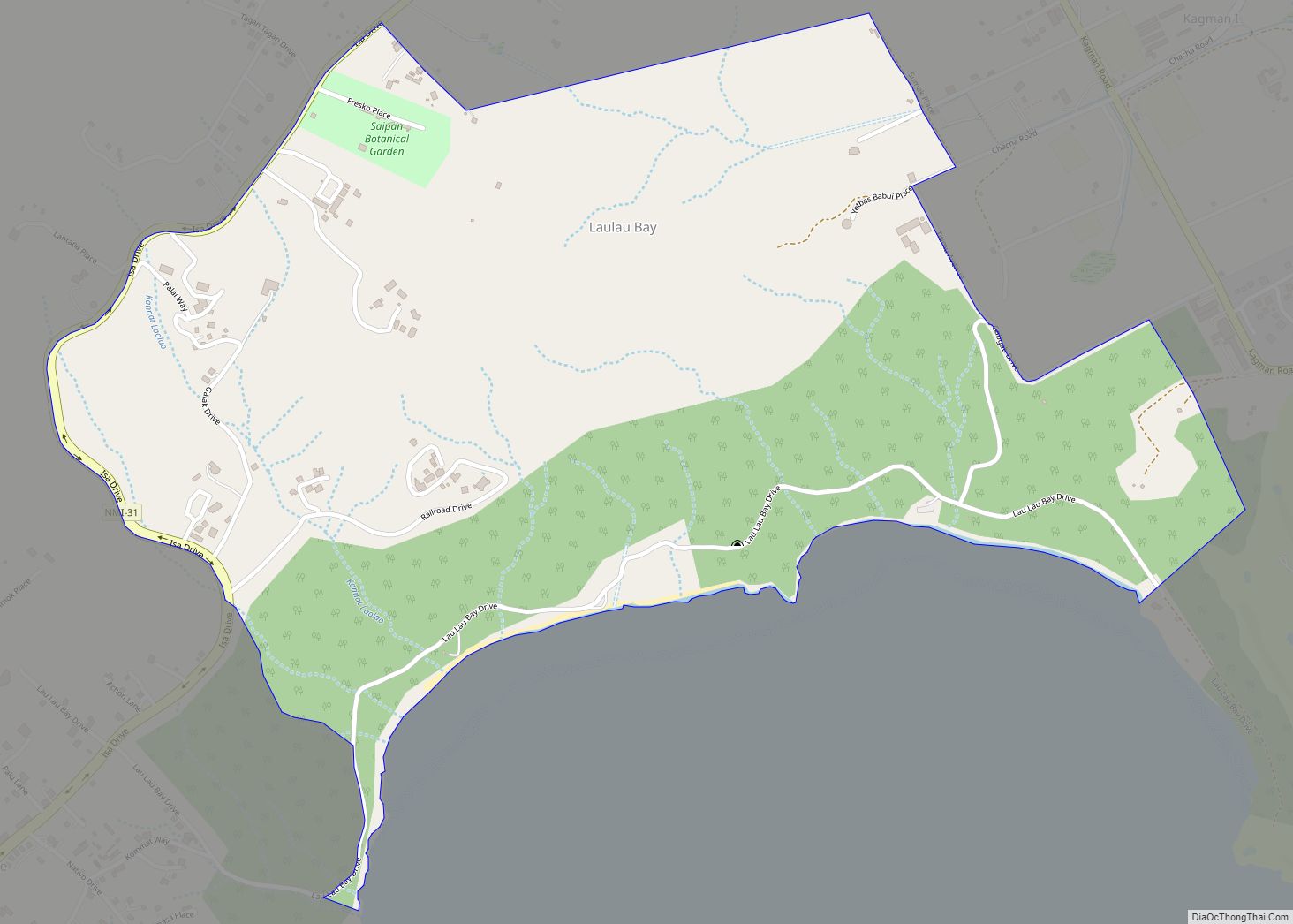
Laulau Bay village overview: Name: Laulau Bay village LSAD Code: 47 LSAD Description: village (suffix) FIPS code: 6919650 Online Interactive Map Laulau Bay online map. Source: Basemap layers from Google Map, Open Street Map (OSM), Arcgisonline, Wmflabs. Boundary Data from Database of Global Administrative Areas. Laulau Bay location map. Where is Laulau Bay village? Laulau ... Read more
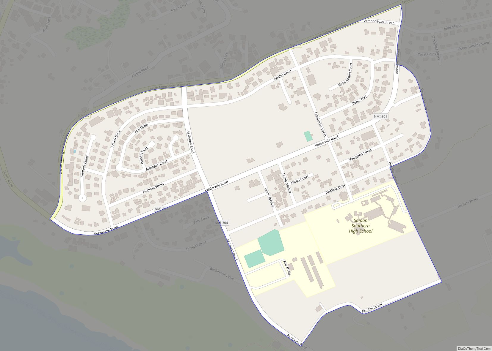
Koblerville village overview: Name: Koblerville village LSAD Code: 47 LSAD Description: village (suffix) FIPS code: 6919580 Online Interactive Map Koblerville online map. Source: Basemap layers from Google Map, Open Street Map (OSM), Arcgisonline, Wmflabs. Boundary Data from Database of Global Administrative Areas. Koblerville location map. Where is Koblerville village? Koblerville Road Map Koblerville city Satellite ... Read more
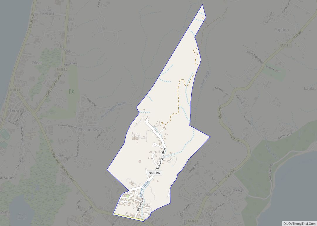
Kannat Tabla village overview: Name: Kannat Tabla village LSAD Code: 47 LSAD Description: village (suffix) FIPS code: 6919570 Online Interactive Map Kannat Tabla online map. Source: Basemap layers from Google Map, Open Street Map (OSM), Arcgisonline, Wmflabs. Boundary Data from Database of Global Administrative Areas. Kannat Tabla location map. Where is Kannat Tabla village? Kannat ... Read more
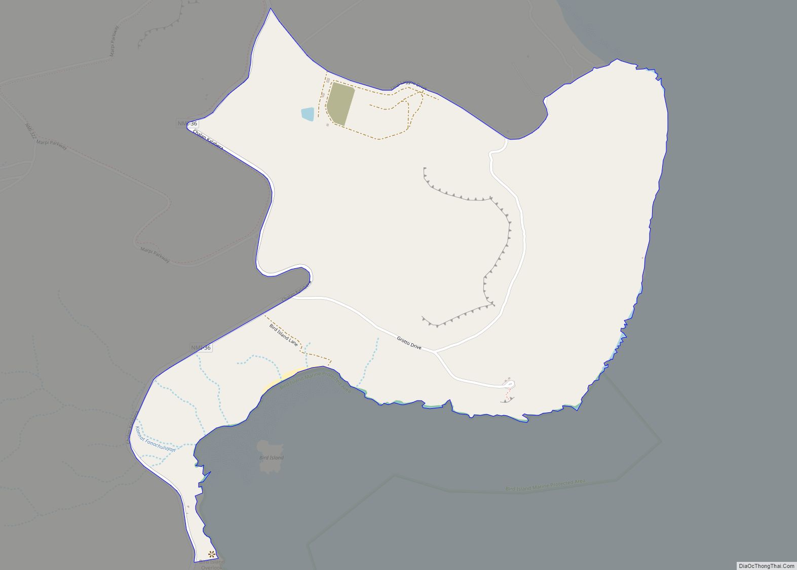
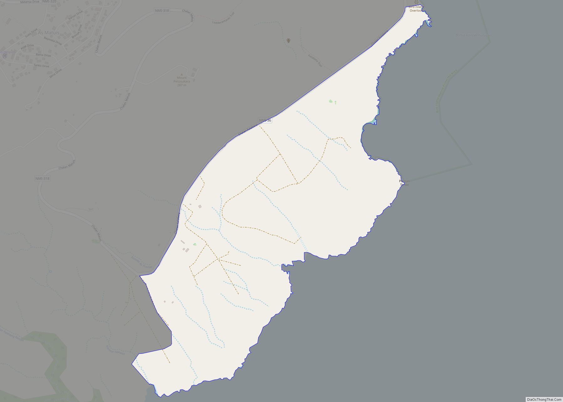
Kalabera village overview: Name: Kalabera village LSAD Code: 47 LSAD Description: village (suffix) FIPS code: 6919560 Online Interactive Map Kalabera online map. Source: Basemap layers from Google Map, Open Street Map (OSM), Arcgisonline, Wmflabs. Boundary Data from Database of Global Administrative Areas. Kalabera location map. Where is Kalabera village? Kalabera Road Map Kalabera city Satellite ... Read more
Kagman village overview: Name: Kagman village LSAD Code: 47 LSAD Description: village (suffix) FIPS code: 6919510 Online Interactive Map Kagman online map. Source: Basemap layers from Google Map, Open Street Map (OSM), Arcgisonline, Wmflabs. Boundary Data from Database of Global Administrative Areas. Kagman location map. Where is Kagman village? Kagman Road Map Kagman city Satellite ... Read more
Makmak village overview: Name: Makmak village LSAD Code: 47 LSAD Description: village (suffix) FIPS code: 6919850 Online Interactive Map Makmak online map. Source: Basemap layers from Google Map, Open Street Map (OSM), Arcgisonline, Wmflabs. Boundary Data from Database of Global Administrative Areas. Makmak location map. Where is Makmak village? Makmak Road Map Makmak city Satellite ... Read more
