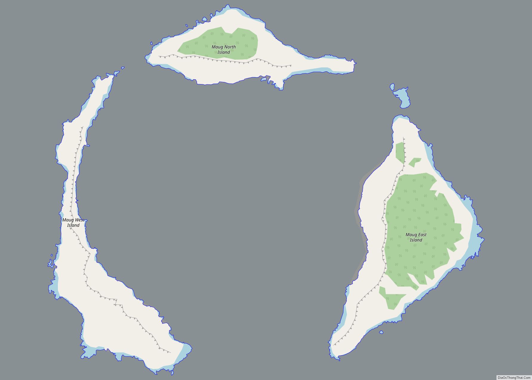
Maug village overview: Name: Maug village LSAD Code: 47 LSAD Description: village (suffix) FIPS code: 6922500 Online Interactive Map Maug online map. Source: Basemap layers from Google Map, Open Street Map (OSM), Arcgisonline, Wmflabs. Boundary Data from Database of Global Administrative Areas. Maug location map. Where is Maug village? Maug Road Map Maug city Satellite ... Read more
Northern Mariana Islands Cities and Places
Maturana Hill village overview: Name: Maturana Hill village LSAD Code: 47 LSAD Description: village (suffix) FIPS code: 6922470 Online Interactive Map Maturana Hill online map. Source: Basemap layers from Google Map, Open Street Map (OSM), Arcgisonline, Wmflabs. Boundary Data from Database of Global Administrative Areas. Maturana Hill location map. Where is Maturana Hill village? Maturana ... Read more
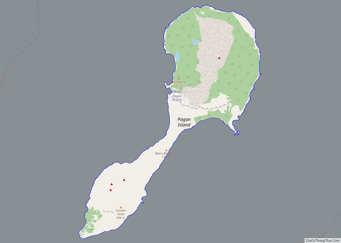
Pagan village overview: Name: Pagan village LSAD Code: 47 LSAD Description: village (suffix) FIPS code: 6923950 Online Interactive Map Pagan online map. Source: Basemap layers from Google Map, Open Street Map (OSM), Arcgisonline, Wmflabs. Boundary Data from Database of Global Administrative Areas. Pagan location map. Where is Pagan village? Pagan Road Map Pagan city Satellite ... Read more
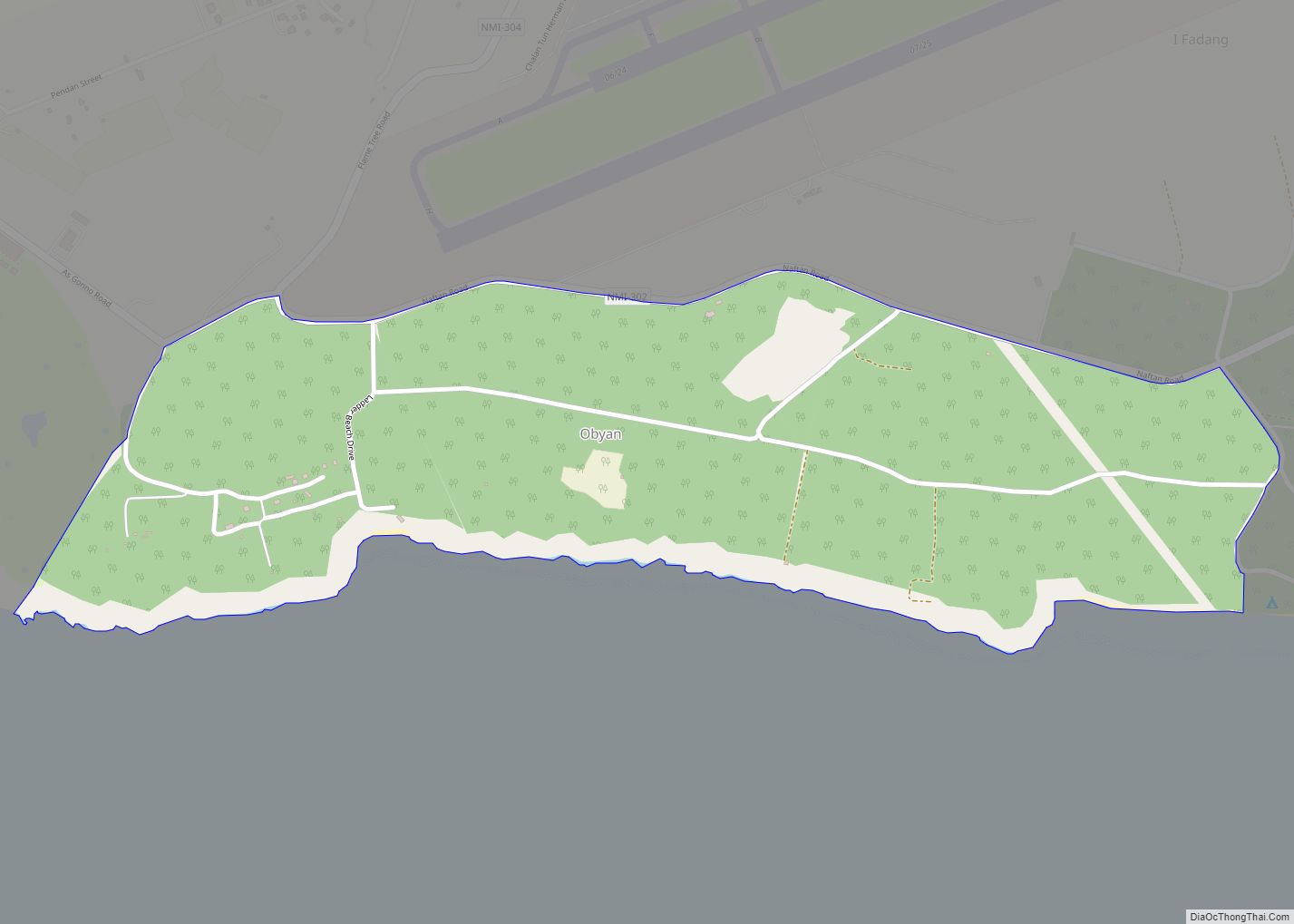
Opyan village overview: Name: Opyan village LSAD Code: 47 LSAD Description: village (suffix) FIPS code: 6923900 Online Interactive Map Opyan online map. Source: Basemap layers from Google Map, Open Street Map (OSM), Arcgisonline, Wmflabs. Boundary Data from Database of Global Administrative Areas. Opyan location map. Where is Opyan village? Opyan Road Map Opyan city Satellite ... Read more
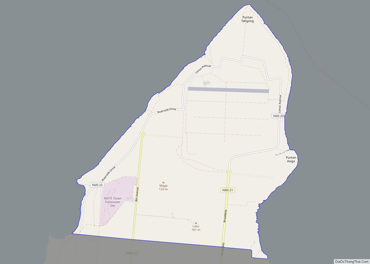
Northern Tinian village overview: Name: Northern Tinian village LSAD Code: 47 LSAD Description: village (suffix) FIPS code: 6923100 Online Interactive Map Northern Tinian online map. Source: Basemap layers from Google Map, Open Street Map (OSM), Arcgisonline, Wmflabs. Boundary Data from Database of Global Administrative Areas. Northern Tinian location map. Where is Northern Tinian village? Northern ... Read more
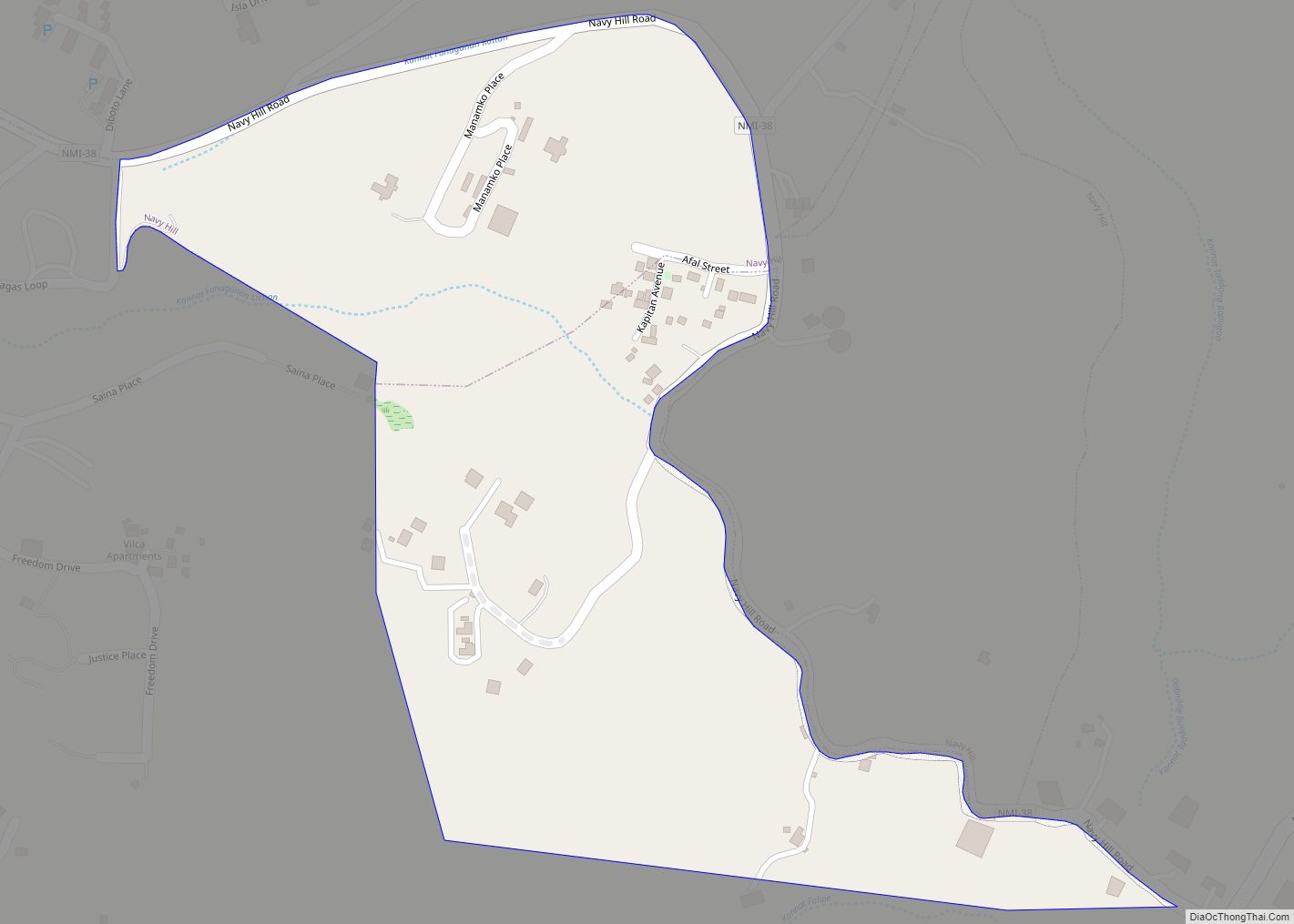
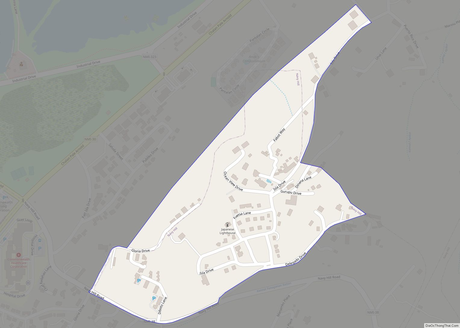
Navy Hill village overview: Name: Navy Hill village LSAD Code: 47 LSAD Description: village (suffix) FIPS code: 6922650 Online Interactive Map Navy Hill online map. Source: Basemap layers from Google Map, Open Street Map (OSM), Arcgisonline, Wmflabs. Boundary Data from Database of Global Administrative Areas. Navy Hill location map. Where is Navy Hill village? Navy ... Read more
Nanasu village overview: Name: Nanasu village LSAD Code: 47 LSAD Description: village (suffix) FIPS code: 6922600 Online Interactive Map Nanasu online map. Source: Basemap layers from Google Map, Open Street Map (OSM), Arcgisonline, Wmflabs. Boundary Data from Database of Global Administrative Areas. Nanasu location map. Where is Nanasu village? Nanasu Road Map Nanasu city Satellite ... Read more
Pekngasu village overview: Name: Pekngasu village LSAD Code: 47 LSAD Description: village (suffix) FIPS code: 6923990 Online Interactive Map Pekngasu online map. Source: Basemap layers from Google Map, Open Street Map (OSM), Arcgisonline, Wmflabs. Boundary Data from Database of Global Administrative Areas. Pekngasu location map. Where is Pekngasu village? Pekngasu Road Map Pekngasu city Satellite ... Read more
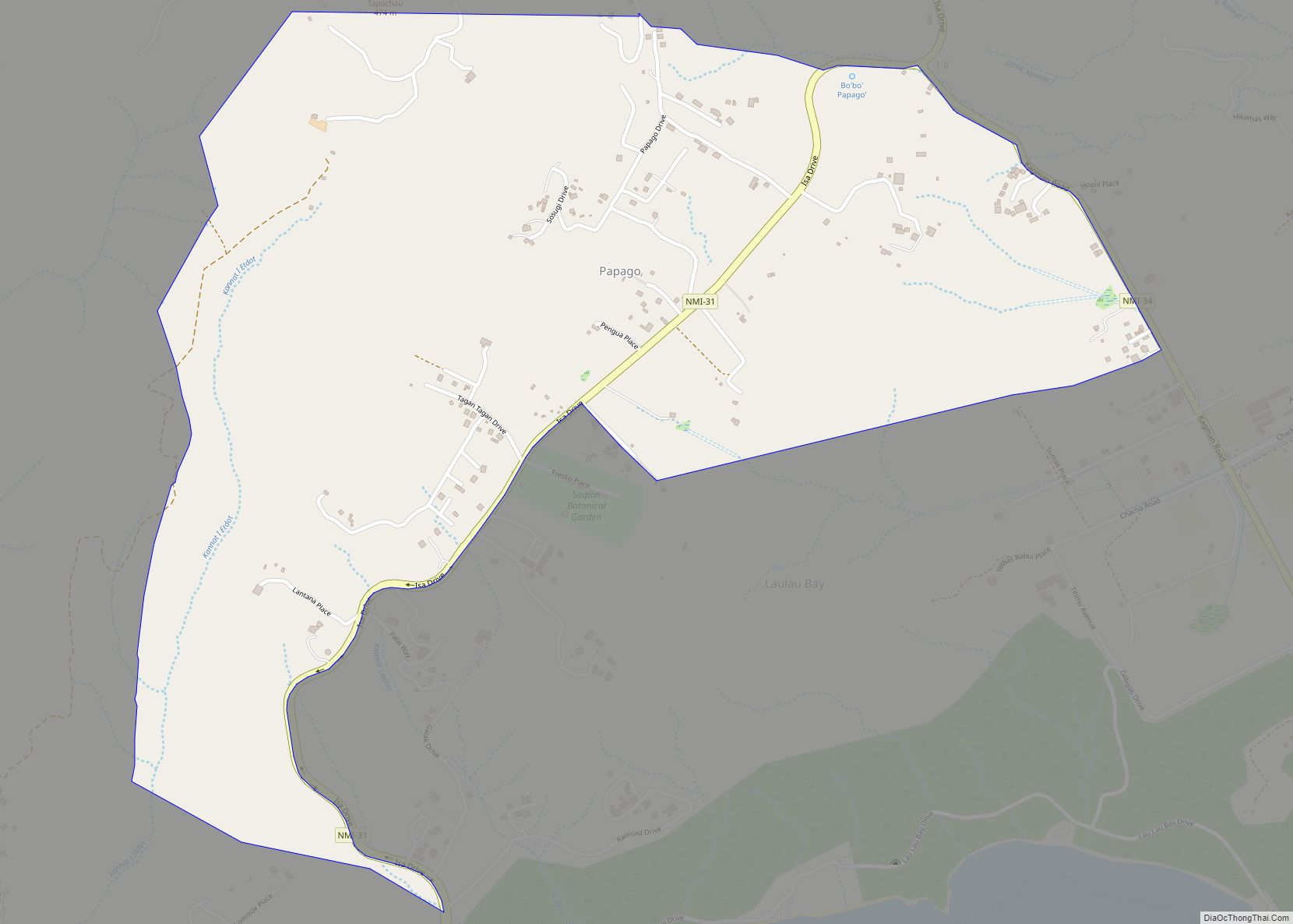
Papago village overview: Name: Papago village LSAD Code: 47 LSAD Description: village (suffix) FIPS code: 6923980 Online Interactive Map Papago online map. Source: Basemap layers from Google Map, Open Street Map (OSM), Arcgisonline, Wmflabs. Boundary Data from Database of Global Administrative Areas. Papago location map. Where is Papago village? Papago Road Map Papago city Satellite ... Read more
Sabaneta village overview: Name: Sabaneta village LSAD Code: 47 LSAD Description: village (suffix) FIPS code: 6925100 Online Interactive Map Sabaneta online map. Source: Basemap layers from Google Map, Open Street Map (OSM), Arcgisonline, Wmflabs. Boundary Data from Database of Global Administrative Areas. Sabaneta location map. Where is Sabaneta village? Sabaneta Road Map Sabaneta city Satellite ... Read more
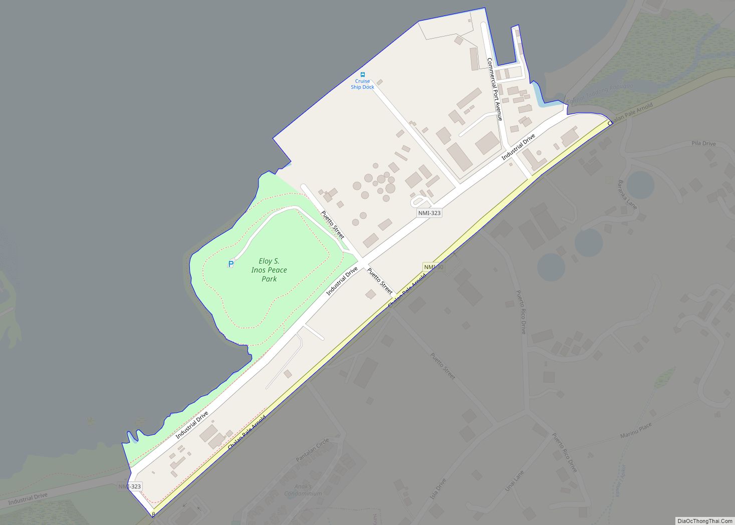
Puerto Rico village overview: Name: Puerto Rico village LSAD Code: 47 LSAD Description: village (suffix) FIPS code: 6924100 Online Interactive Map Puerto Rico online map. Source: Basemap layers from Google Map, Open Street Map (OSM), Arcgisonline, Wmflabs. Boundary Data from Database of Global Administrative Areas. Puerto Rico location map. Where is Puerto Rico village? Puerto ... Read more
Pidos Kahalo village overview: Name: Pidos Kahalo village LSAD Code: 47 LSAD Description: village (suffix) FIPS code: 6924000 Online Interactive Map Pidos Kahalo online map. Source: Basemap layers from Google Map, Open Street Map (OSM), Arcgisonline, Wmflabs. Boundary Data from Database of Global Administrative Areas. Pidos Kahalo location map. Where is Pidos Kahalo village? Pidos ... Read more
