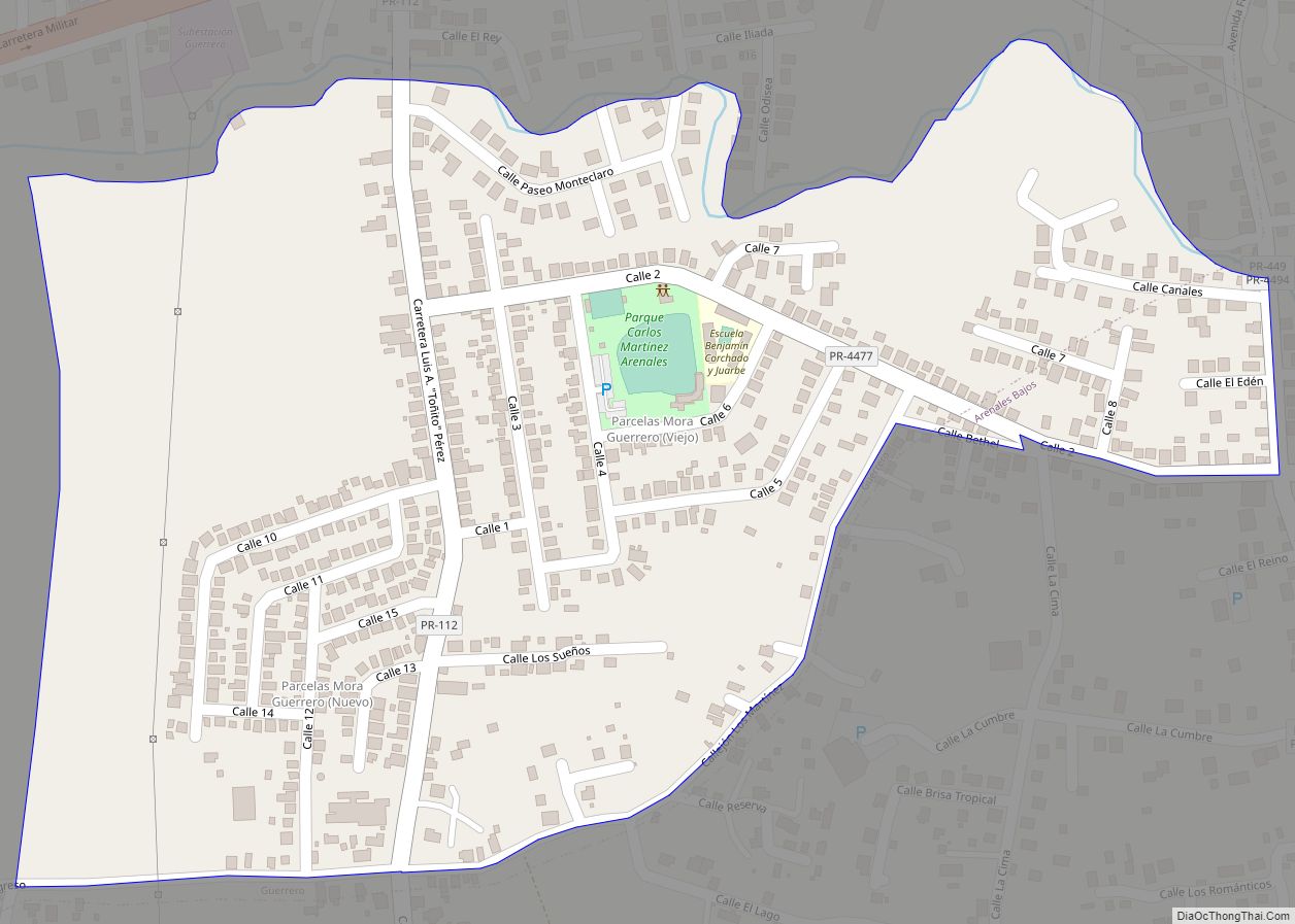
Mora is a barrio in the municipality of Isabela, Puerto Rico. Its population in 2010 was 4,682. Mora comunidad overview: Name: Mora comunidad LSAD Code: 55 LSAD Description: comunidad (suffix) State: Puerto Rico County: Isabela Municipio Elevation: 322 ft (98 m) Total Area: 2.38 sq mi (6.2 km²) Land Area: 2.38 sq mi (6.2 km²) Water Area: 0 sq mi (0 km²) Total Population: 4,682 Population ... Read more
Puerto Rico Cities and Places
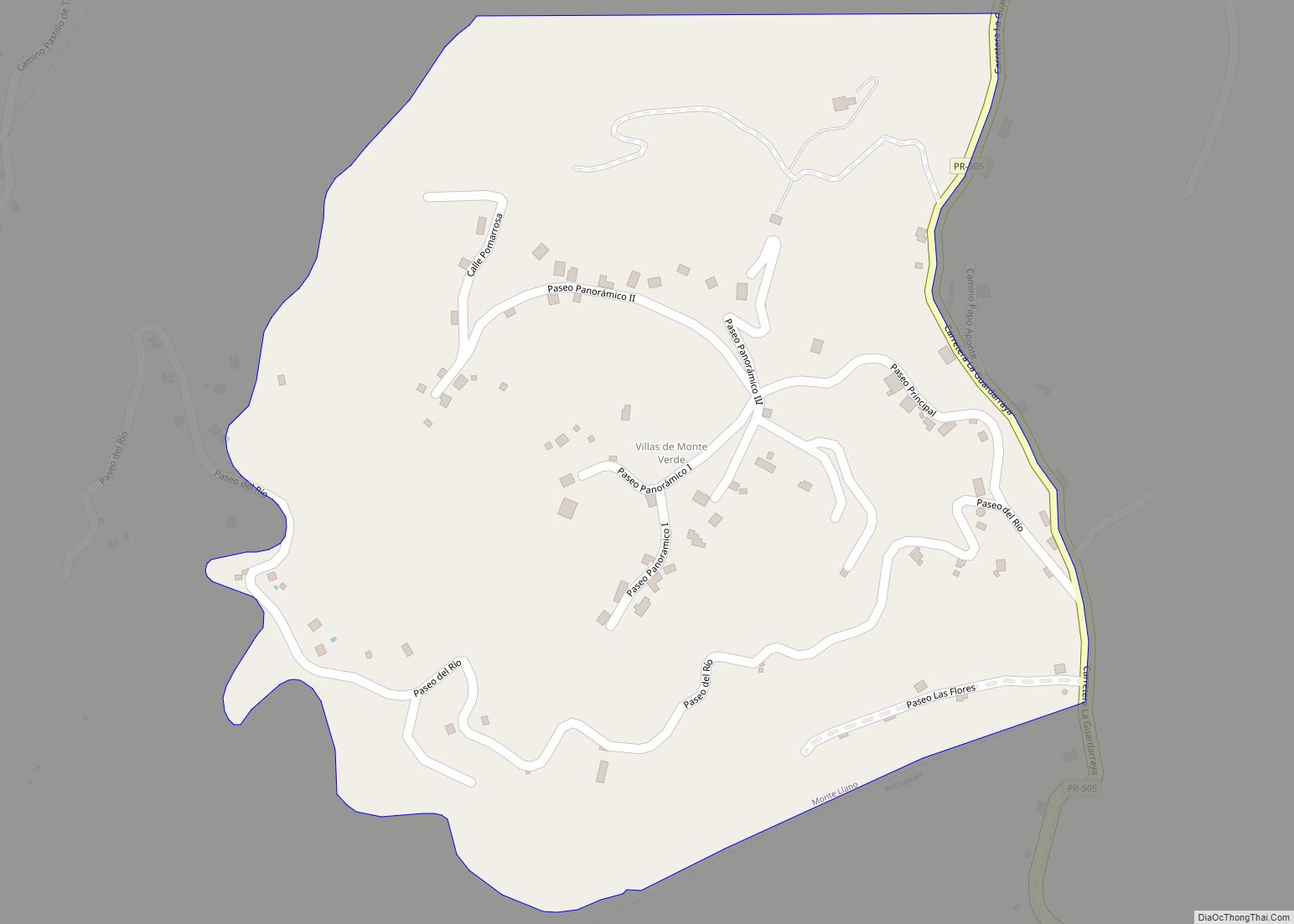
Monte Verde comunidad overview: Name: Monte Verde comunidad LSAD Code: 55 LSAD Description: comunidad (suffix) State: Puerto Rico County: Ponce Municipio FIPS code: 7254688 Online Interactive Map Monte Verde online map. Source: Basemap layers from Google Map, Open Street Map (OSM), Arcgisonline, Wmflabs. Boundary Data from Database of Global Administrative Areas. Monte Verde location map. ... Read more
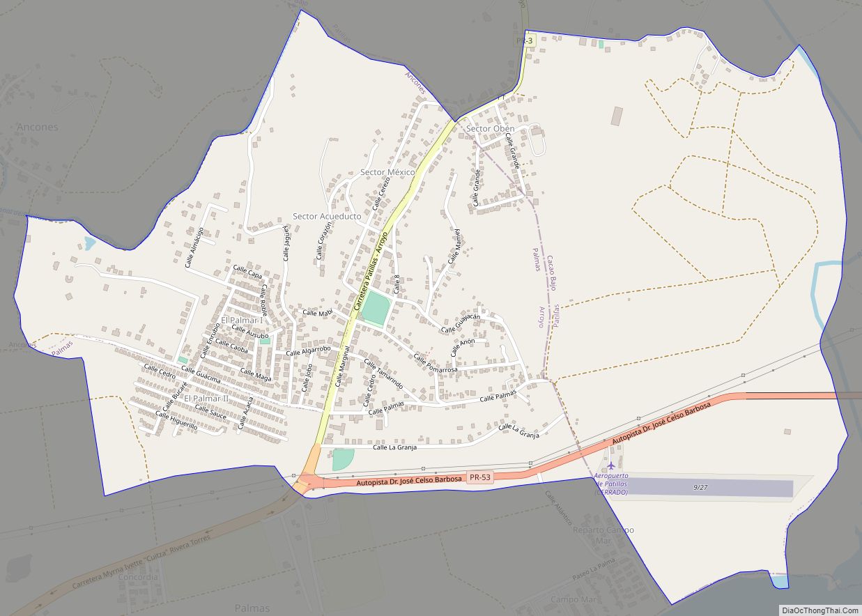
Palmas comunidad overview: Name: Palmas comunidad LSAD Code: 55 LSAD Description: comunidad (suffix) State: Puerto Rico County: Arroyo Municipio, Patillas Municipio FIPS code: 7258516 Online Interactive Map Palmas online map. Source: Basemap layers from Google Map, Open Street Map (OSM), Arcgisonline, Wmflabs. Boundary Data from Database of Global Administrative Areas. Palmas location map. Where is ... Read more
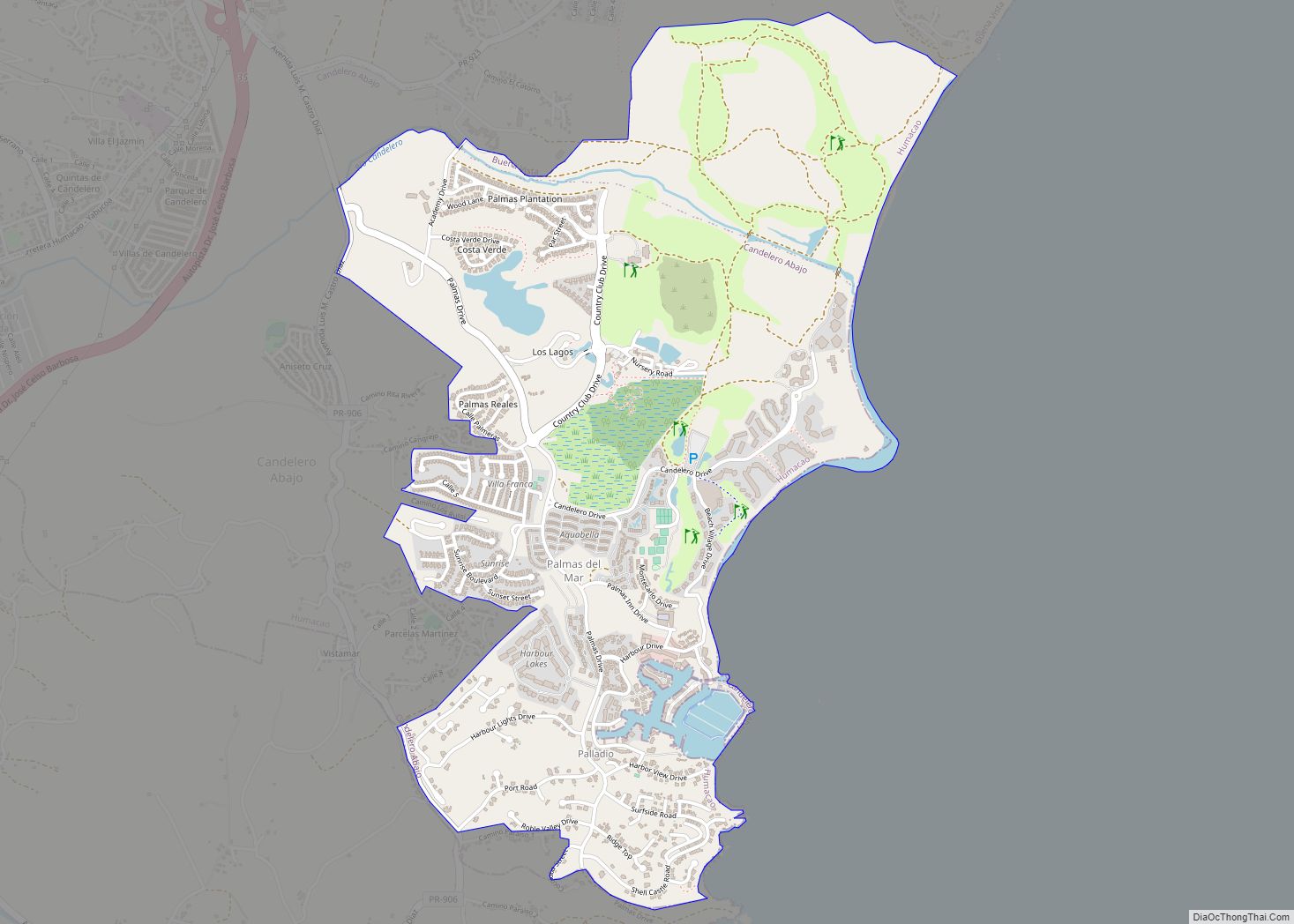
Palmas del Mar is a beach resort community consisting of a country club, golf courses, tennis, a beach club, residences and a hotel. It is located in the municipality of Humacao, Puerto Rico, on the southeast corner of the island. Palmas del Mar comunidad overview: Name: Palmas del Mar comunidad LSAD Code: 55 LSAD Description: ... Read more
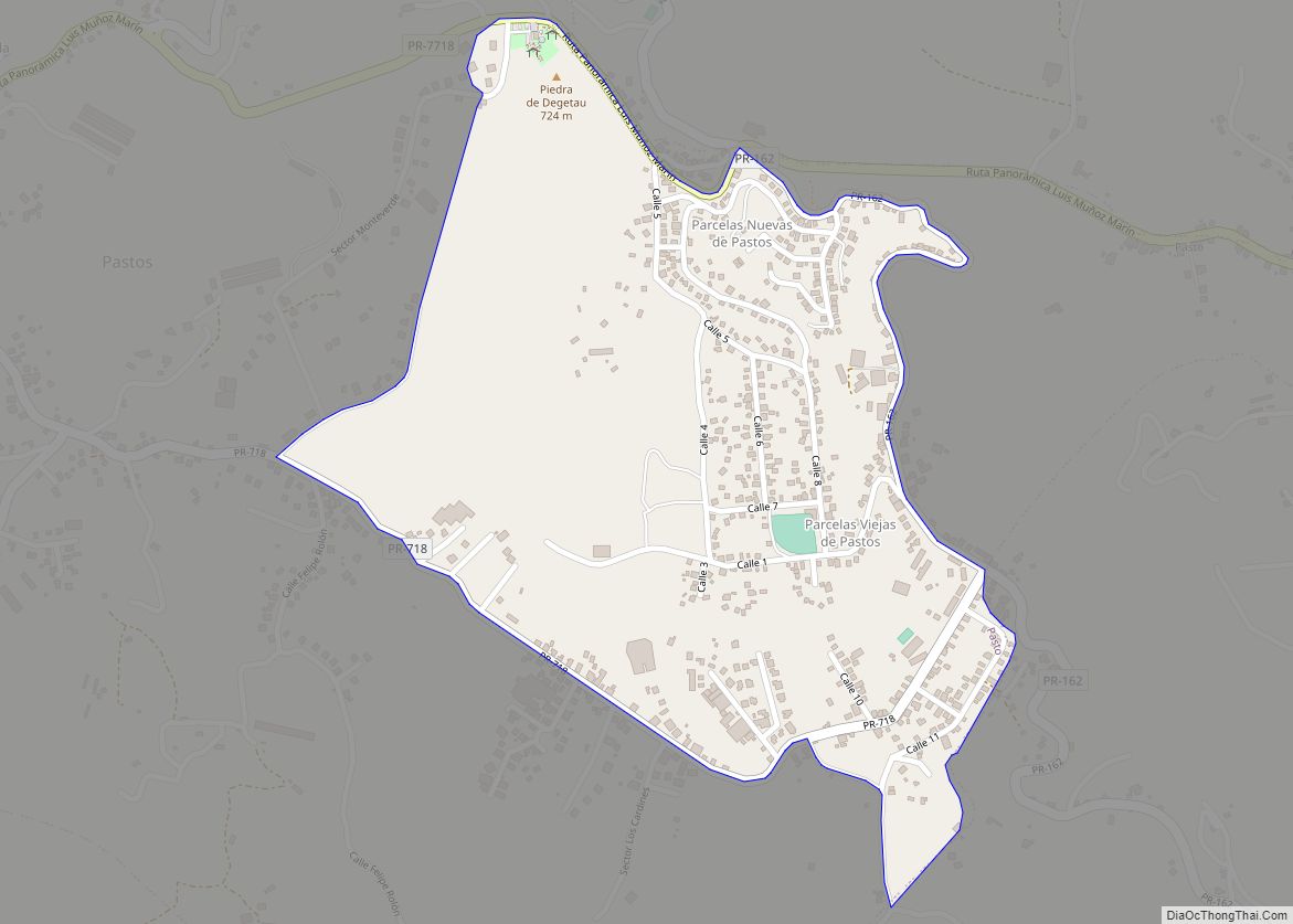
Pastos comunidad overview: Name: Pastos comunidad LSAD Code: 55 LSAD Description: comunidad (suffix) State: Puerto Rico County: Aibonito Municipio FIPS code: 7260257 Online Interactive Map Pastos online map. Source: Basemap layers from Google Map, Open Street Map (OSM), Arcgisonline, Wmflabs. Boundary Data from Database of Global Administrative Areas. Pastos location map. Where is Pastos comunidad? ... Read more
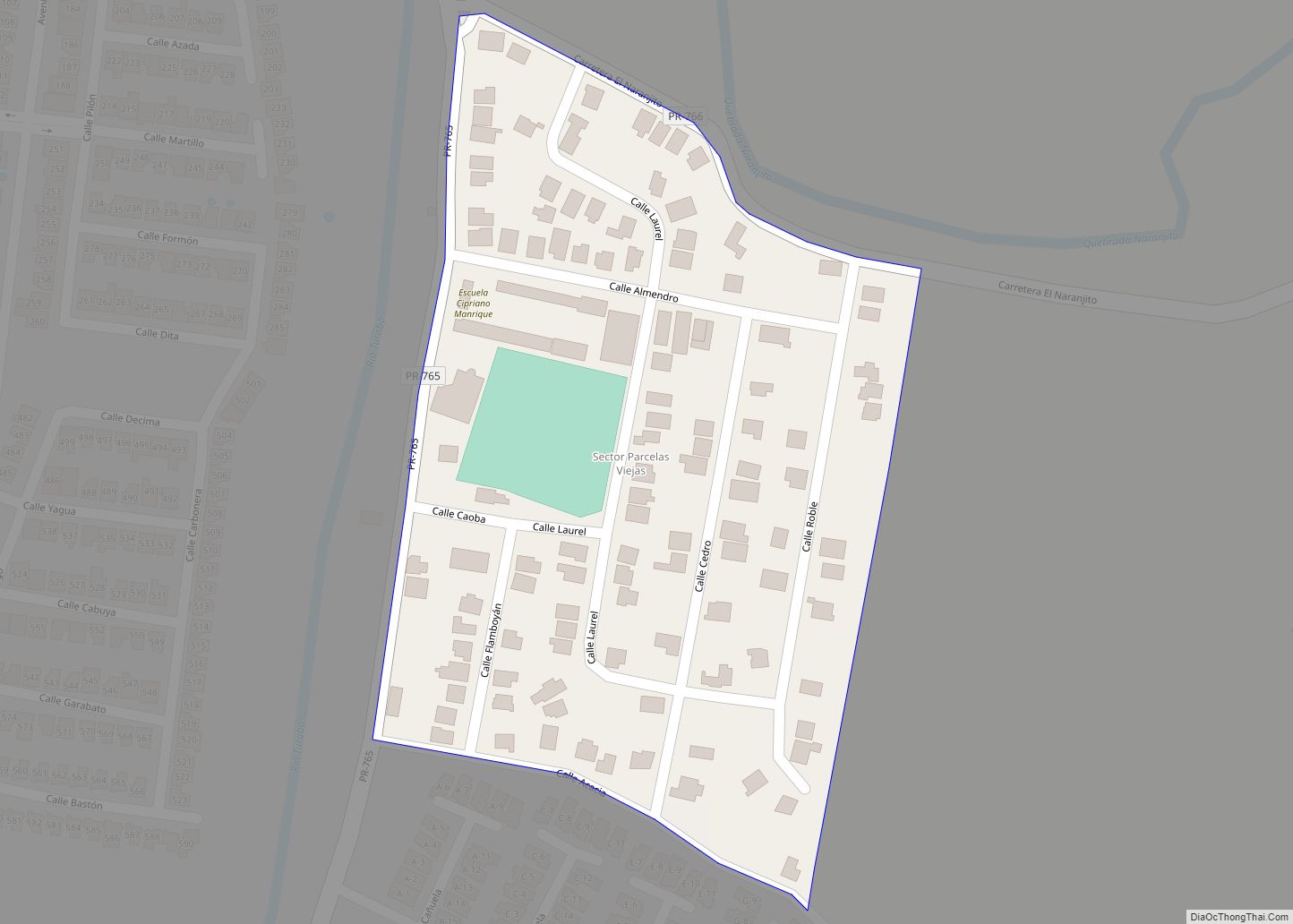
Parcelas Viejas Borinquen comunidad overview: Name: Parcelas Viejas Borinquen comunidad LSAD Code: 55 LSAD Description: comunidad (suffix) State: Puerto Rico County: Caguas Municipio FIPS code: 7259450 Online Interactive Map Parcelas Viejas Borinquen online map. Source: Basemap layers from Google Map, Open Street Map (OSM), Arcgisonline, Wmflabs. Boundary Data from Database of Global Administrative Areas. Parcelas ... Read more
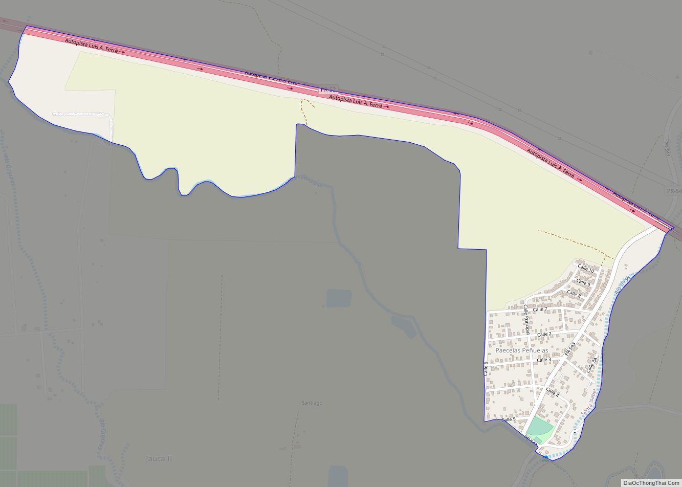
Parcelas Peñuelas comunidad overview: Name: Parcelas Peñuelas comunidad LSAD Code: 55 LSAD Description: comunidad (suffix) State: Puerto Rico County: Santa Isabel Municipio FIPS code: 7259440 Online Interactive Map Parcelas Peñuelas online map. Source: Basemap layers from Google Map, Open Street Map (OSM), Arcgisonline, Wmflabs. Boundary Data from Database of Global Administrative Areas. Parcelas Peñuelas location ... Read more
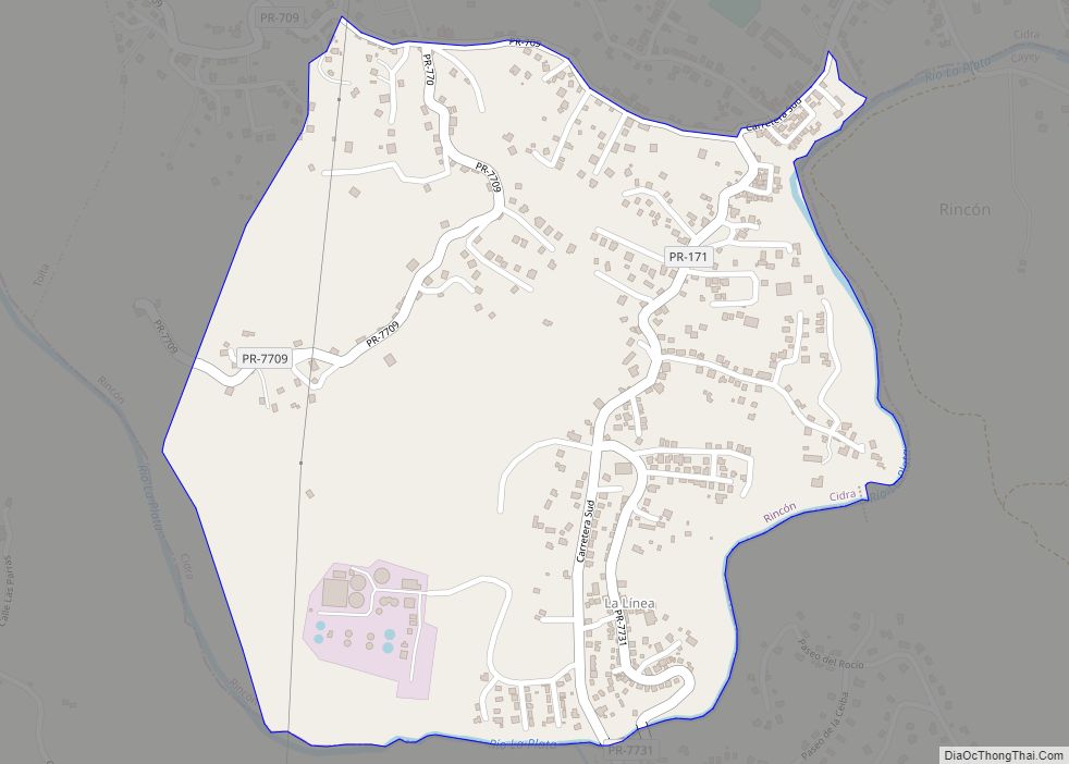
Parcelas Nuevas comunidad overview: Name: Parcelas Nuevas comunidad LSAD Code: 55 LSAD Description: comunidad (suffix) State: Puerto Rico County: Cidra Municipio FIPS code: 7259425 Online Interactive Map Parcelas Nuevas online map. Source: Basemap layers from Google Map, Open Street Map (OSM), Arcgisonline, Wmflabs. Boundary Data from Database of Global Administrative Areas. Parcelas Nuevas location map. ... Read more
Parcelas Mandry comunidad overview: Name: Parcelas Mandry comunidad LSAD Code: 55 LSAD Description: comunidad (suffix) State: Puerto Rico County: Ponce Municipio FIPS code: 7259422 Online Interactive Map Parcelas Mandry online map. Source: Basemap layers from Google Map, Open Street Map (OSM), Arcgisonline, Wmflabs. Boundary Data from Database of Global Administrative Areas. Parcelas Mandry location map. ... Read more
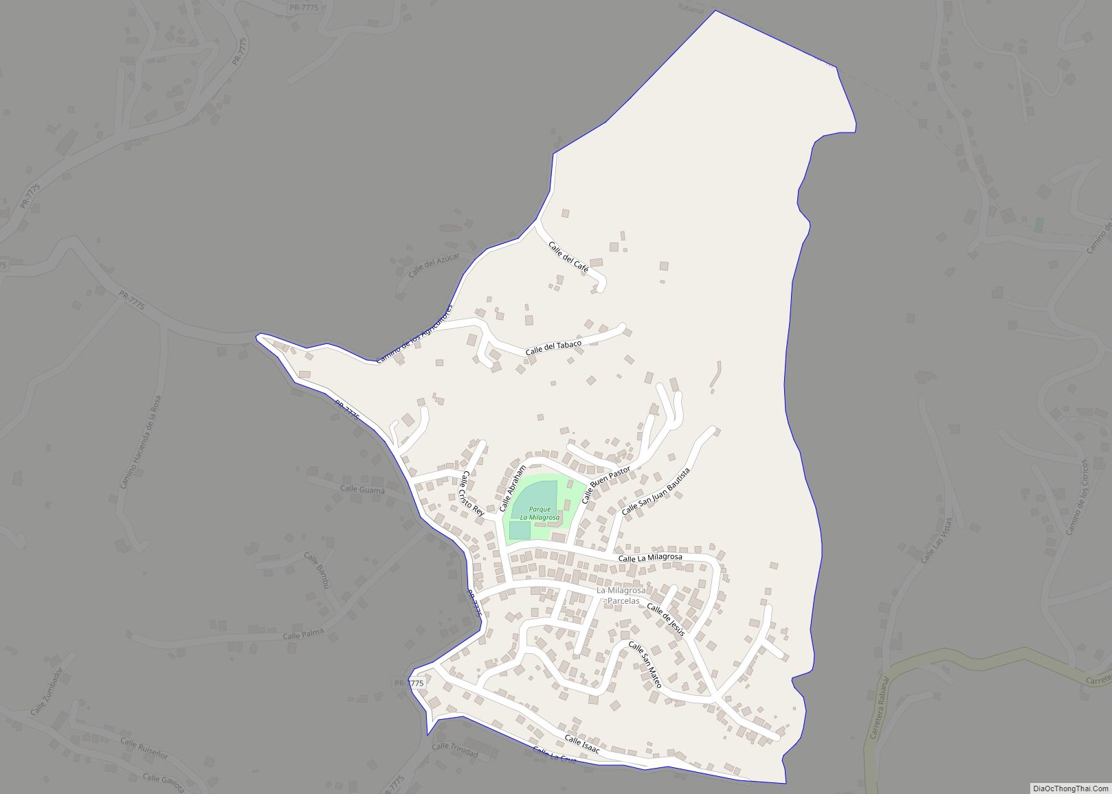
Parcelas La Milagrosa comunidad overview: Name: Parcelas La Milagrosa comunidad LSAD Code: 55 LSAD Description: comunidad (suffix) State: Puerto Rico County: Cidra Municipio FIPS code: 7259420 Online Interactive Map Parcelas La Milagrosa online map. Source: Basemap layers from Google Map, Open Street Map (OSM), Arcgisonline, Wmflabs. Boundary Data from Database of Global Administrative Areas. Parcelas ... Read more
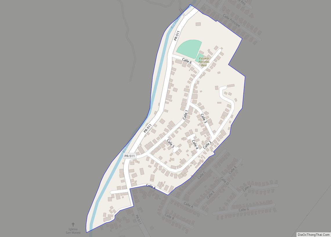
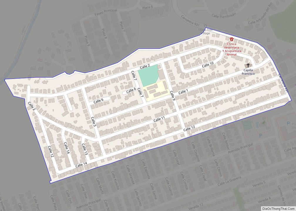
Parcelas de Navarro comunidad overview: Name: Parcelas de Navarro comunidad LSAD Code: 55 LSAD Description: comunidad (suffix) State: Puerto Rico County: Gurabo Municipio FIPS code: 7259386 Online Interactive Map Parcelas de Navarro online map. Source: Basemap layers from Google Map, Open Street Map (OSM), Arcgisonline, Wmflabs. Boundary Data from Database of Global Administrative Areas. Parcelas ... Read more
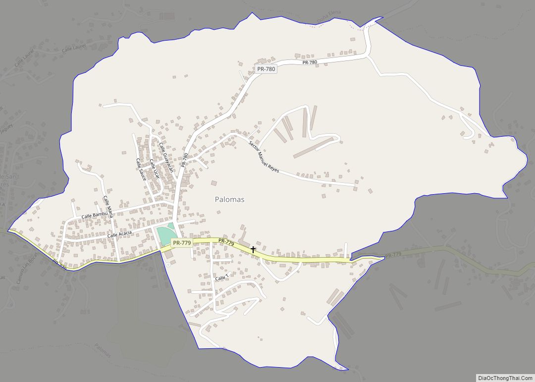
Palomas is a barrio in the municipality of Comerío, Puerto Rico. Its population in 2010 was 4,719. Palomas comunidad overview: Name: Palomas comunidad LSAD Code: 55 LSAD Description: comunidad (suffix) State: Puerto Rico County: Comerío Municipio Elevation: 1,742 ft (531 m) Total Area: 3.97 sq mi (10.3 km²) Land Area: 3.96 sq mi (10.3 km²) Water Area: 0.01 sq mi (0.03 km²) Total Population: 4,719 Population ... Read more
