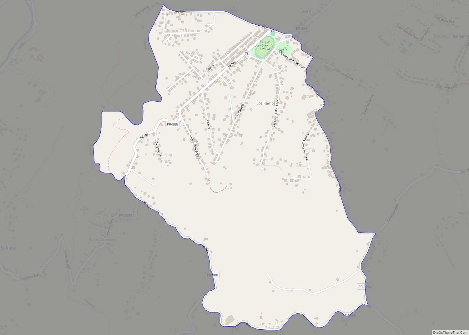
Ramos comunidad overview: Name: Ramos comunidad LSAD Code: 55 LSAD Description: comunidad (suffix) State: Puerto Rico County: Luquillo Municipio FIPS code: 7268771 Online Interactive Map Ramos online map. Source: Basemap layers from Google Map, Open Street Map (OSM), Arcgisonline, Wmflabs. Boundary Data from Database of Global Administrative Areas. Ramos location map. Where is Ramos comunidad? ... Read more
Puerto Rico Cities and Places
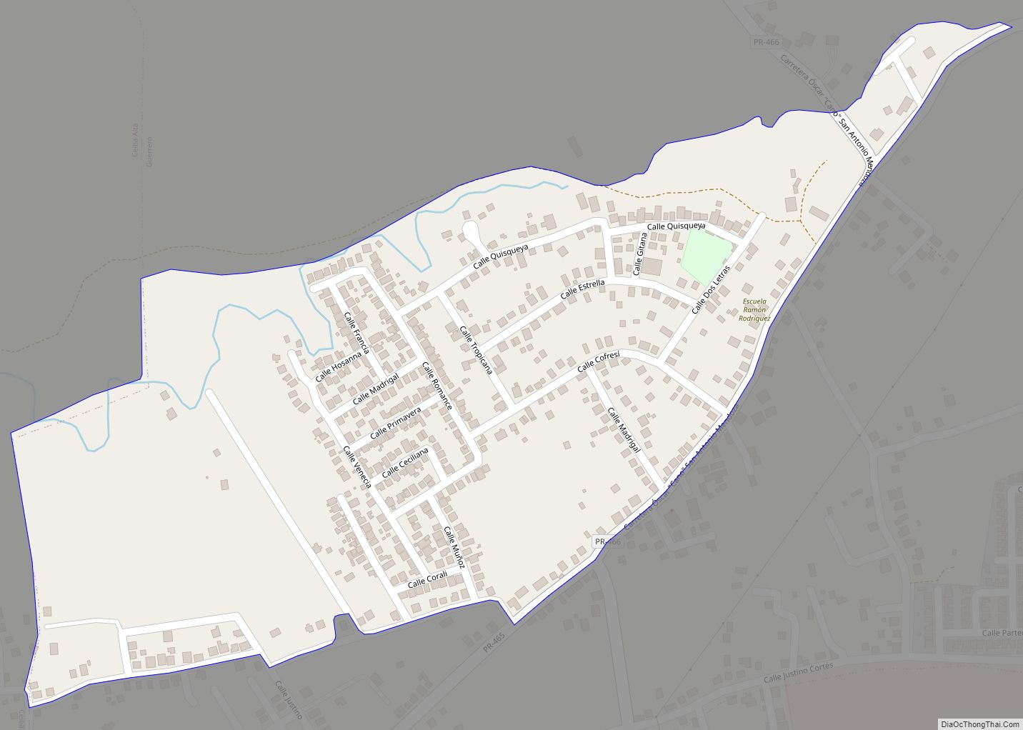
Rafael Hernández comunidad overview: Name: Rafael Hernández comunidad LSAD Code: 55 LSAD Description: comunidad (suffix) State: Puerto Rico County: Aguadilla Municipio FIPS code: 7268599 Online Interactive Map Rafael Hernández online map. Source: Basemap layers from Google Map, Open Street Map (OSM), Arcgisonline, Wmflabs. Boundary Data from Database of Global Administrative Areas. Rafael Hernández location map. ... Read more
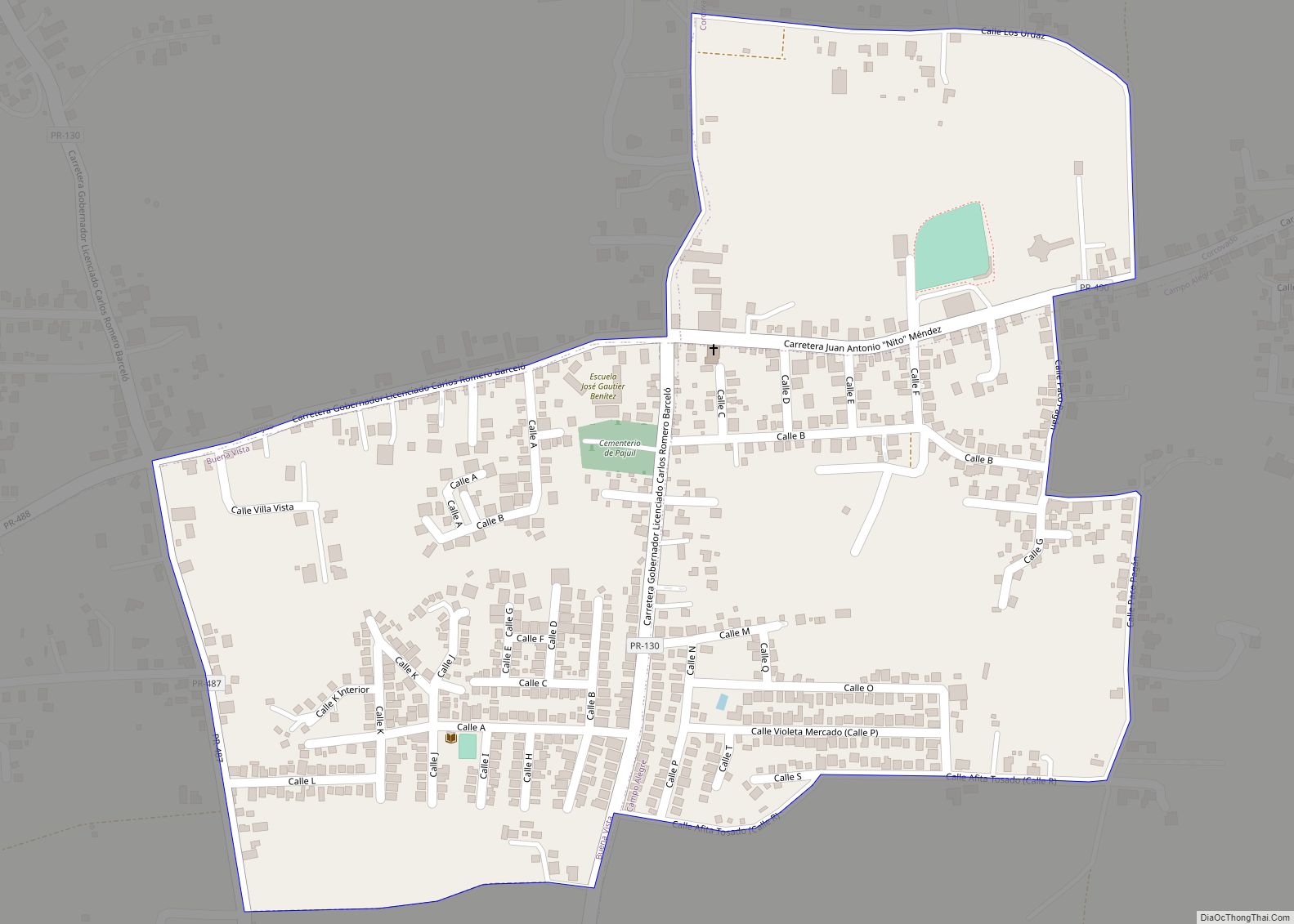
Rafael González comunidad overview: Name: Rafael González comunidad LSAD Code: 55 LSAD Description: comunidad (suffix) State: Puerto Rico County: Hatillo Municipio FIPS code: 7268556 Online Interactive Map Rafael González online map. Source: Basemap layers from Google Map, Open Street Map (OSM), Arcgisonline, Wmflabs. Boundary Data from Database of Global Administrative Areas. Rafael González location map. ... Read more
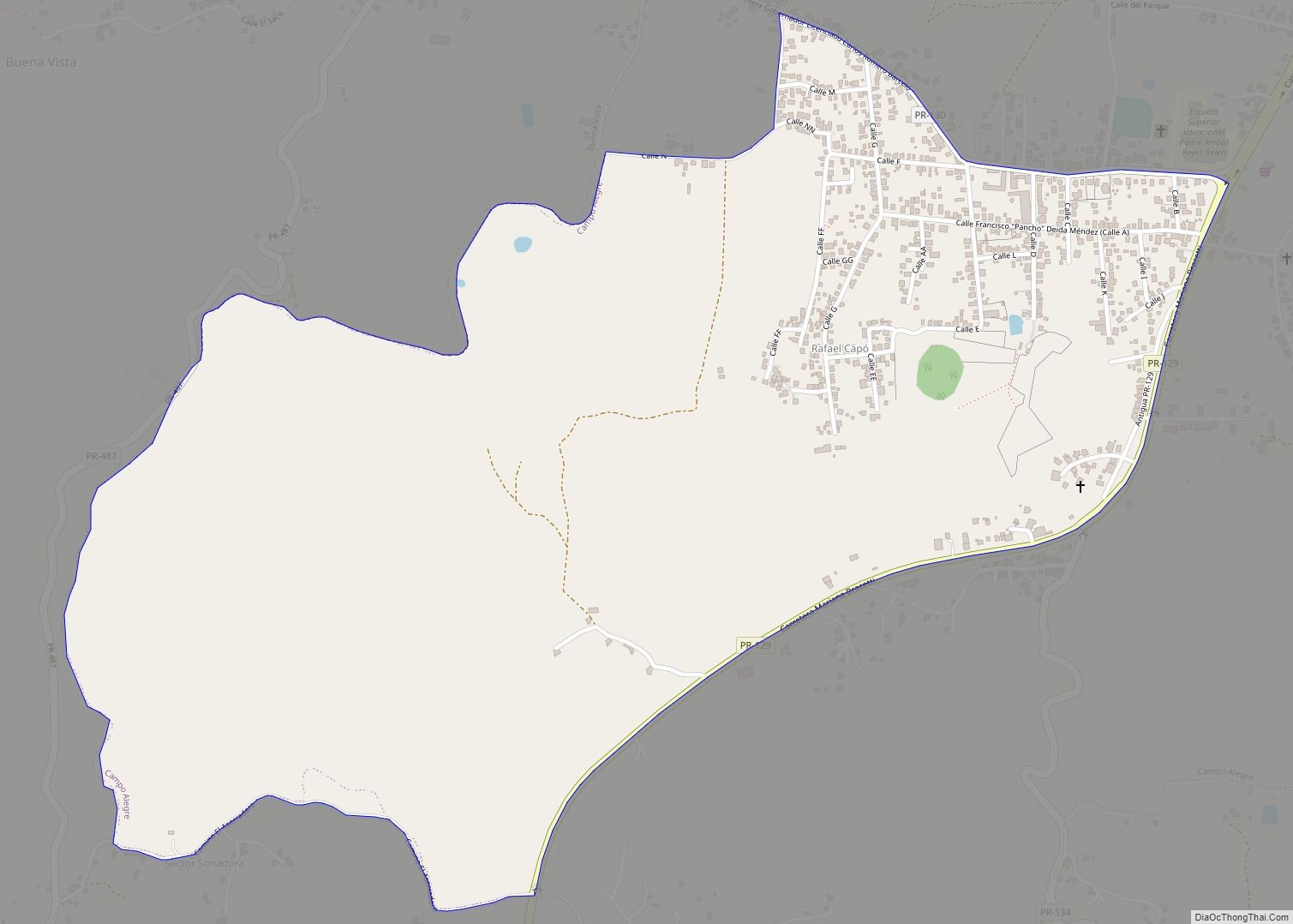
Rafael Capó comunidad overview: Name: Rafael Capó comunidad LSAD Code: 55 LSAD Description: comunidad (suffix) State: Puerto Rico County: Hatillo Municipio FIPS code: 7268513 Online Interactive Map Rafael Capó online map. Source: Basemap layers from Google Map, Open Street Map (OSM), Arcgisonline, Wmflabs. Boundary Data from Database of Global Administrative Areas. Rafael Capó location map. ... Read more
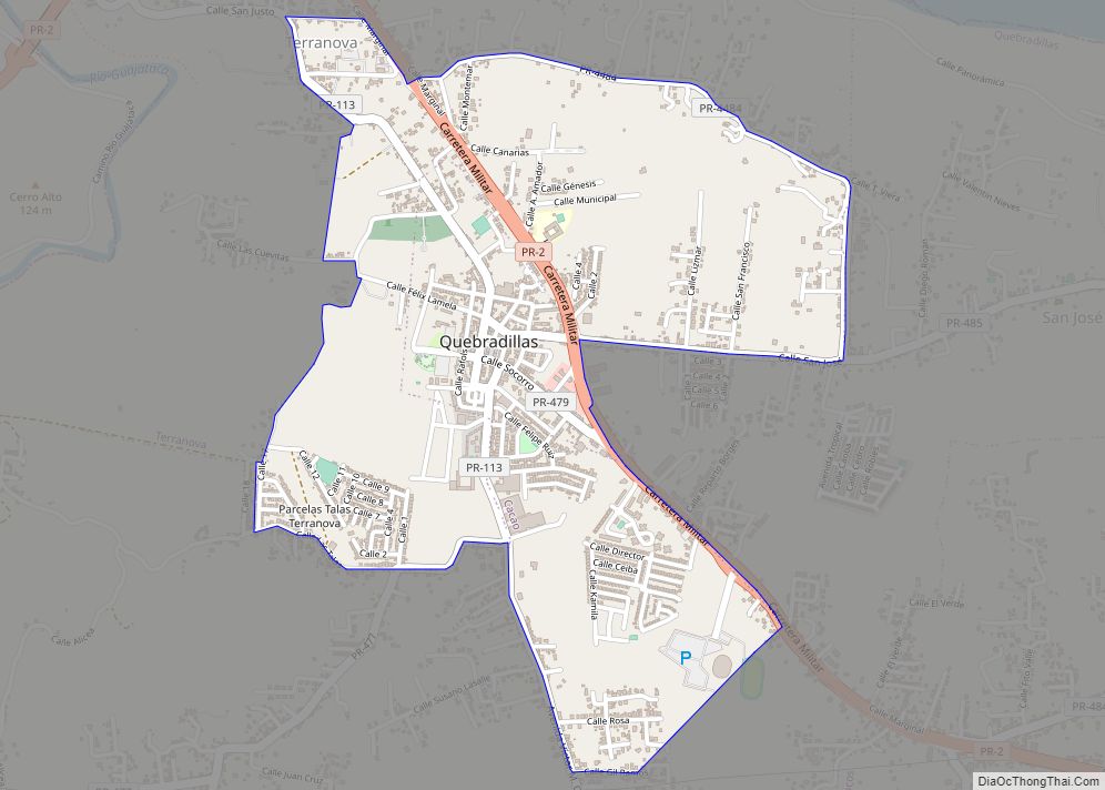
Quebradillas zona urbana overview: Name: Quebradillas zona urbana LSAD Code: 62 LSAD Description: zona urbana (suffix) State: Puerto Rico County: Quebradillas Municipio FIPS code: 7268040 Online Interactive Map Quebradillas online map. Source: Basemap layers from Google Map, Open Street Map (OSM), Arcgisonline, Wmflabs. Boundary Data from Database of Global Administrative Areas. Quebradillas location map. Where ... Read more
Quebrada is a barrio in the municipality of Camuy, Puerto Rico. Its population in 2010 was 3,813. Quebrada comunidad overview: Name: Quebrada comunidad LSAD Code: 55 LSAD Description: comunidad (suffix) State: Puerto Rico County: Camuy Municipio Elevation: 948 ft (289 m) Total Area: 7.7 sq mi (20 km²) Land Area: 7.7 sq mi (20 km²) Water Area: 0 sq mi (0 km²) Total Population: 3,813 Population ... Read more
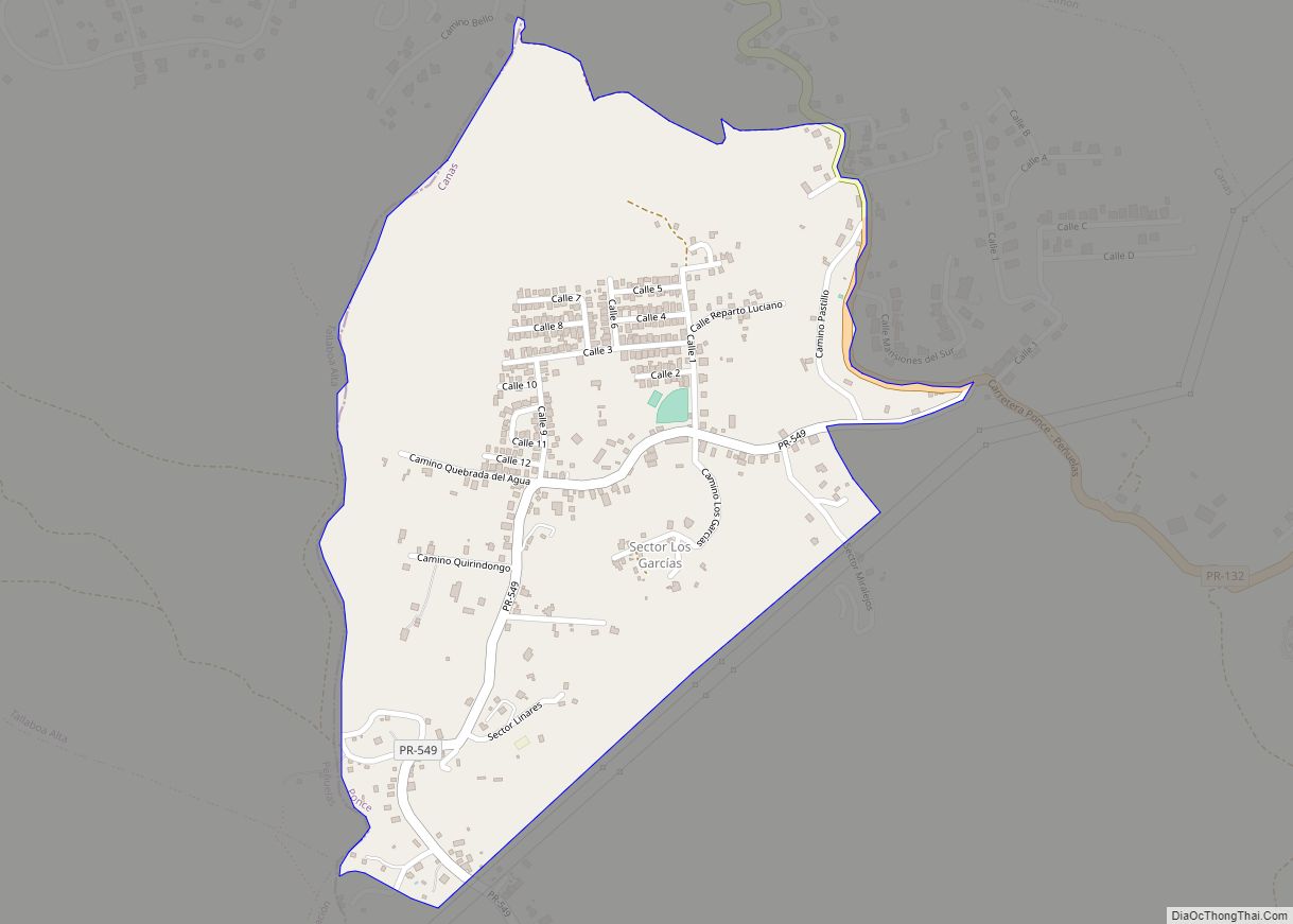
Quebrada del Agua comunidad overview: Name: Quebrada del Agua comunidad LSAD Code: 55 LSAD Description: comunidad (suffix) State: Puerto Rico County: Ponce Municipio FIPS code: 7267200 Online Interactive Map Quebrada del Agua online map. Source: Basemap layers from Google Map, Open Street Map (OSM), Arcgisonline, Wmflabs. Boundary Data from Database of Global Administrative Areas. Quebrada ... Read more
Pájaros is a barrio in the municipality of Bayamón, Puerto Rico. Its population in 2010 was 30,194. Pájaros comunidad overview: Name: Pájaros comunidad LSAD Code: 55 LSAD Description: comunidad (suffix) State: Puerto Rico County: Toa Alta Municipio Elevation: 98 ft (30 m) Total Area: 3.02 sq mi (7.8 km²) Land Area: 3.02 sq mi (7.8 km²) Water Area: 0.00 sq mi (0.0 km²) Total Population: 30,194 ... Read more
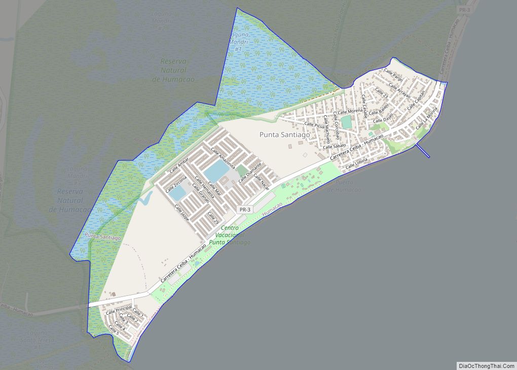
Punta Santiago is a barrio in the municipality of Humacao, Puerto Rico. Its population in 2010 was 4,723. It is one of the most vulnerable barrios to flooding and complete destruction whenever hurricanes enter Puerto Rico through the area of Humacao. Punta Santiago comunidad overview: Name: Punta Santiago comunidad LSAD Code: 55 LSAD Description: comunidad ... Read more
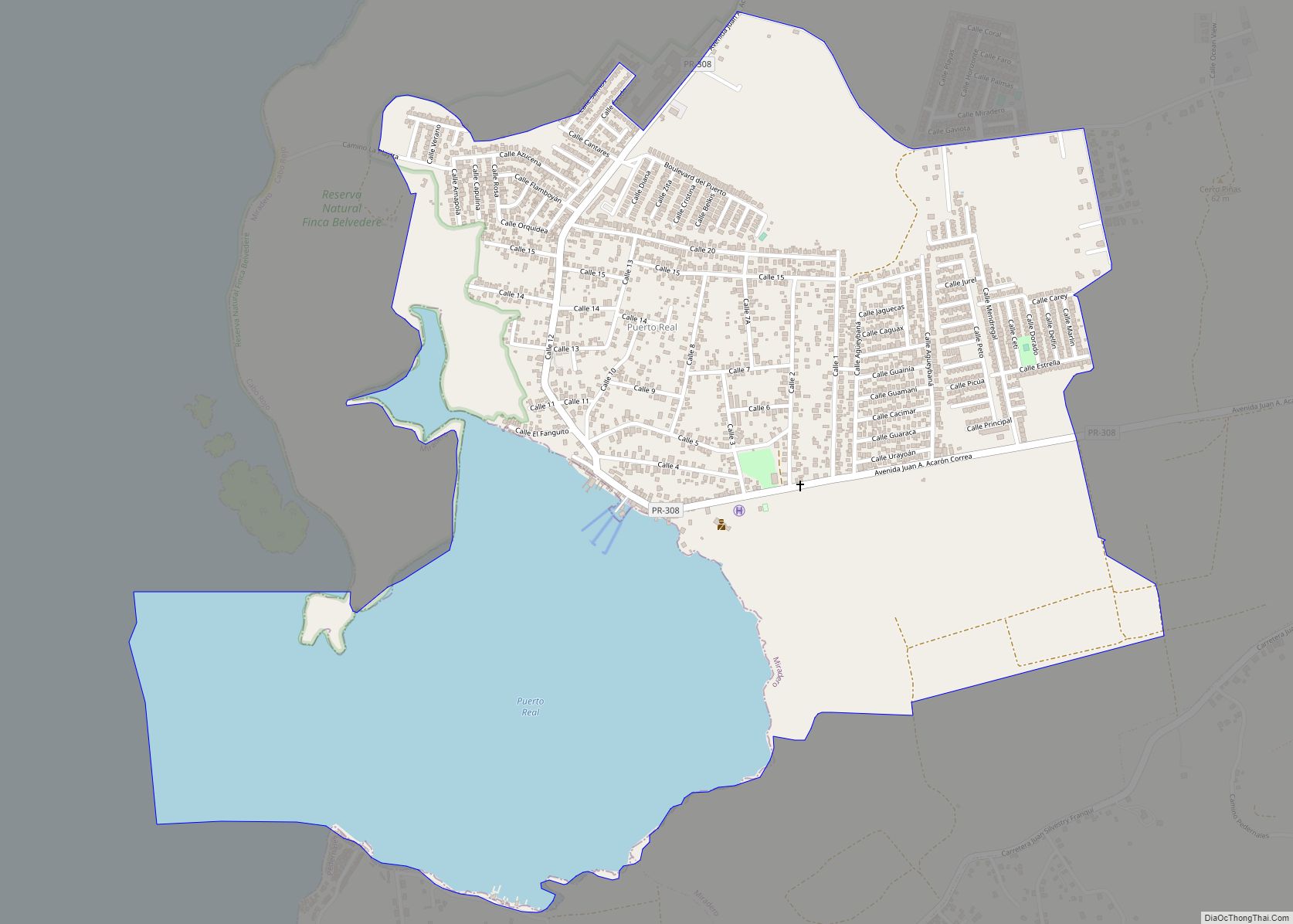
Puerto Real is a barrio in the island-municipality of Vieques, Puerto Rico. Its population in 2010 was 1,654. Puerto Real comunidad overview: Name: Puerto Real comunidad LSAD Code: 55 LSAD Description: comunidad (suffix) State: Puerto Rico County: Cabo Rojo Municipio Elevation: 66 ft (20 m) Total Area: 10.00 sq mi (25.9 km²) Land Area: 7.92 sq mi (20.5 km²) Water Area: 2.08 sq mi (5.4 km²) ... Read more
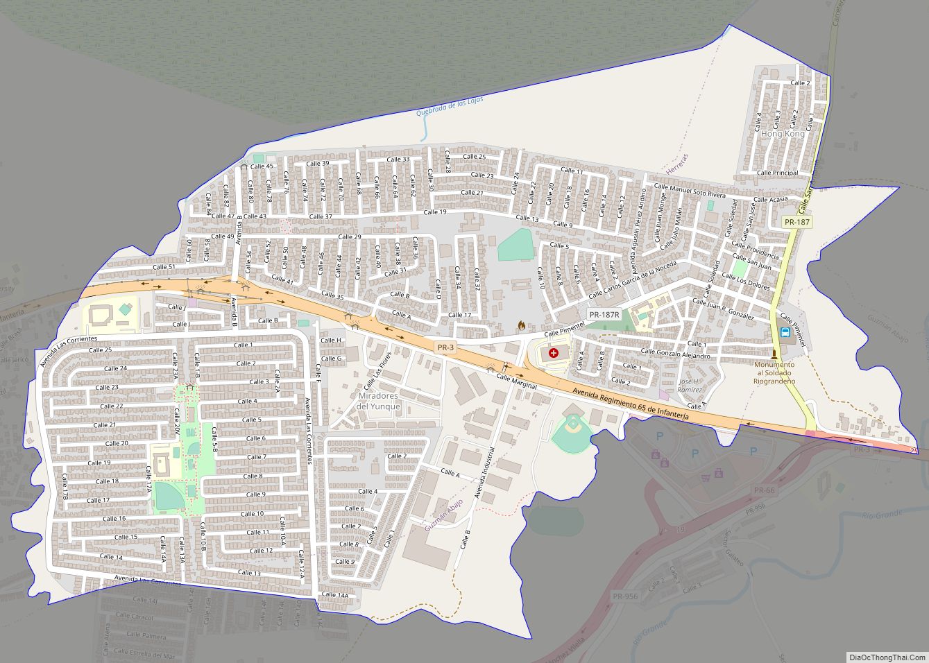
Río Grande zona urbana overview: Name: Río Grande zona urbana LSAD Code: 62 LSAD Description: zona urbana (suffix) State: Puerto Rico County: Río Grande Municipio FIPS code: 7271136 Online Interactive Map Río Grande online map. Source: Basemap layers from Google Map, Open Street Map (OSM), Arcgisonline, Wmflabs. Boundary Data from Database of Global Administrative Areas. ... Read more
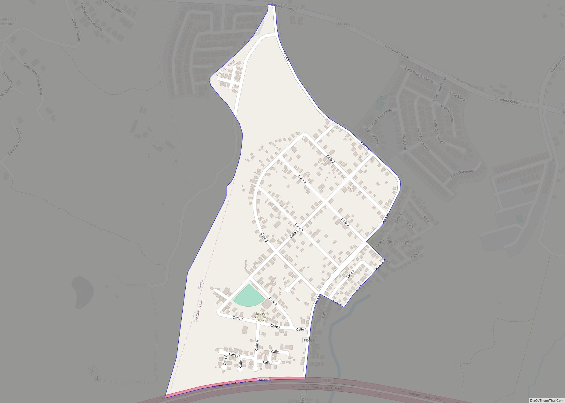
Río Cañas Abajo is a barrio in the municipality of Juana Díaz, Puerto Rico. Its population in 2010 was 2,848. Río Cañas Abajo comunidad overview: Name: Río Cañas Abajo comunidad LSAD Code: 55 LSAD Description: comunidad (suffix) State: Puerto Rico County: Juana Díaz Municipio Elevation: 0 ft (0 m) Total Area: 22.42 sq mi (58.1 km²) Land Area: 11.21 sq mi (29.0 km²) ... Read more
