Tallaboa comunidad overview: Name: Tallaboa comunidad LSAD Code: 55 LSAD Description: comunidad (suffix) State: Puerto Rico County: Peñuelas Municipio FIPS code: 7281413 Online Interactive Map Tallaboa online map. Source: Basemap layers from Google Map, Open Street Map (OSM), Arcgisonline, Wmflabs. Boundary Data from Database of Global Administrative Areas. Tallaboa location map. Where is Tallaboa comunidad? ... Read more
Puerto Rico Cities and Places
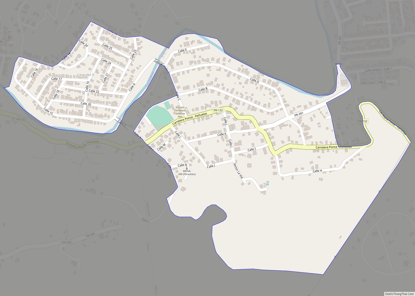
Tallaboa Alta Barrio is a barrio in the municipality of Peñuelas, Puerto Rico. Its population in 2010 was 3,784. Tallaboa Alta comunidad overview: Name: Tallaboa Alta comunidad LSAD Code: 55 LSAD Description: comunidad (suffix) State: Puerto Rico County: Peñuelas Municipio Elevation: 446 ft (136 m) Total Area: 2.4 sq mi (6 km²) Land Area: 2.4 sq mi (6 km²) Water Area: 0 sq mi (0 km²) ... Read more
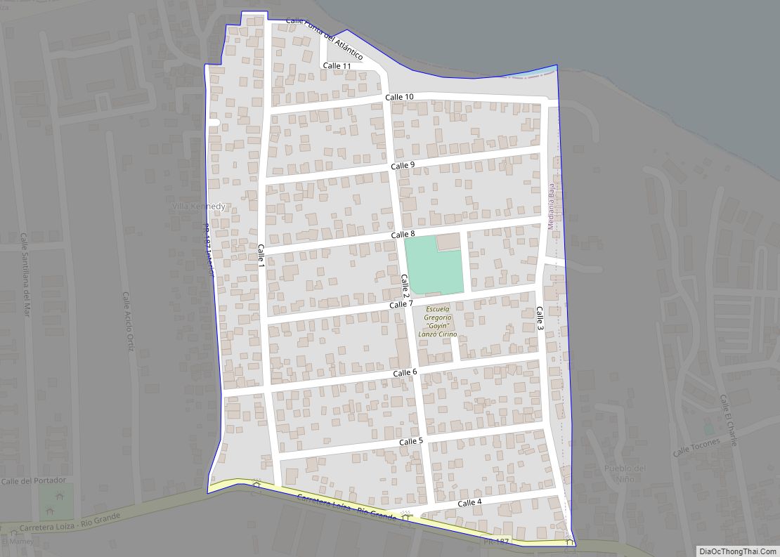
Suárez comunidad overview: Name: Suárez comunidad LSAD Code: 55 LSAD Description: comunidad (suffix) State: Puerto Rico County: Loíza Municipio FIPS code: 7280639 Online Interactive Map Suárez online map. Source: Basemap layers from Google Map, Open Street Map (OSM), Arcgisonline, Wmflabs. Boundary Data from Database of Global Administrative Areas. Suárez location map. Where is Suárez comunidad? ... Read more
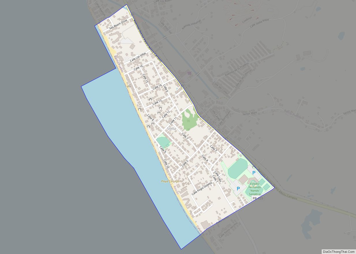
Stella (Stella comunidad) is a community in Pueblo barrio and Calvache barrio, in the municipality of Rincón, Puerto Rico. Its population in 2010 was 1,088. Stella comunidad overview: Name: Stella comunidad LSAD Code: 55 LSAD Description: comunidad (suffix) State: Puerto Rico County: Rincón Municipio Elevation: 7 ft (2 m) Total Area: 0.46 sq mi (1.2 km²) Land Area: 0.33 sq mi (0.9 km²) ... Read more


