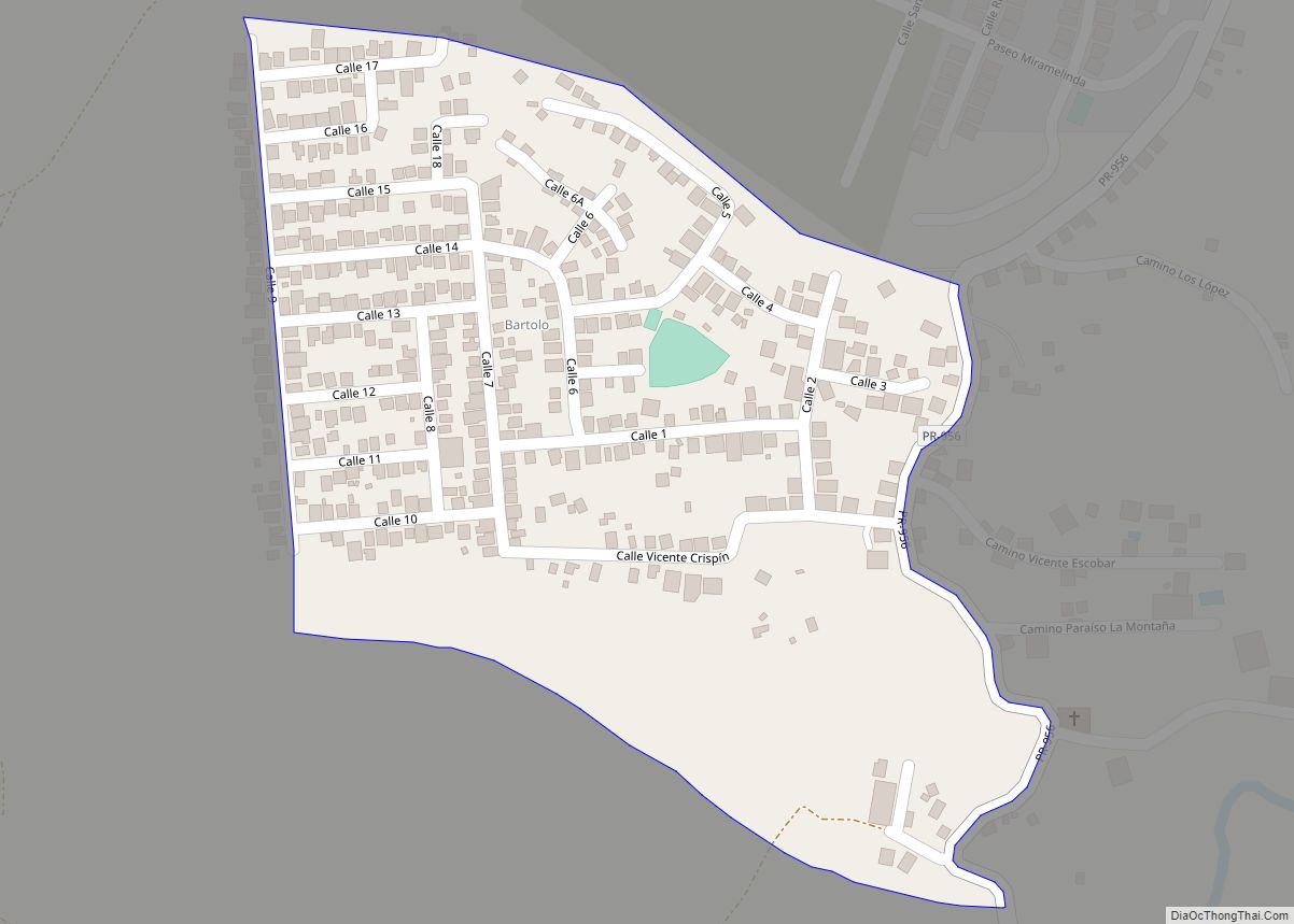
Bartolo is a barrio in the municipality of Lares, Puerto Rico. Its population in 2010 was 2,035. Bartolo is on the southeastern border of Lares and Adjuntas. Bartolo comunidad overview: Name: Bartolo comunidad LSAD Code: 55 LSAD Description: comunidad (suffix) State: Puerto Rico County: Río Grande Municipio Elevation: 1,818 ft (554 m) Total Area: 8.44 sq mi (21.9 km²) Land ... Read more
Puerto Rico Cities and Places
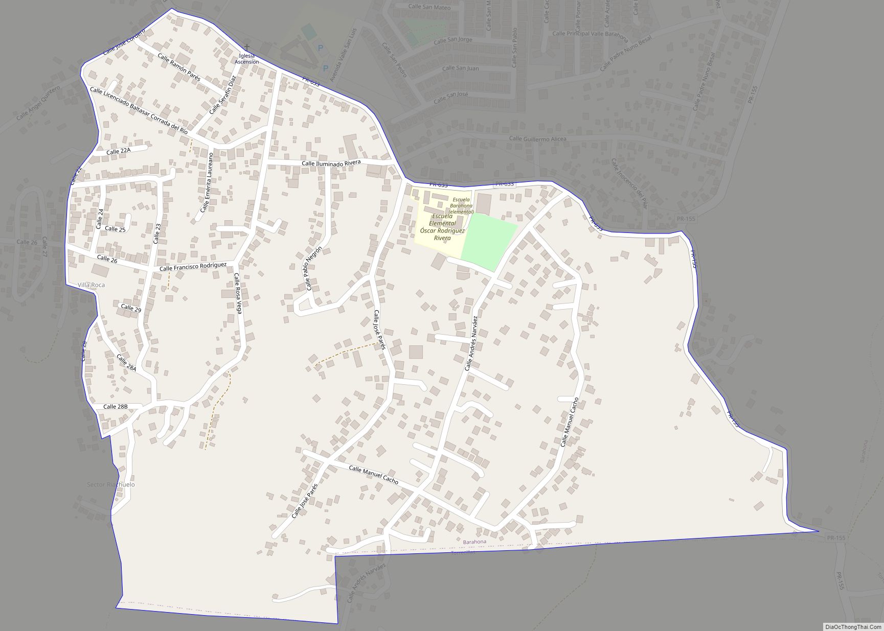
Barahona is a barrio in the municipality of Morovis, Puerto Rico. Barahona has thirteen sectors and its population in 2010 was 5,244. Barahona comunidad overview: Name: Barahona comunidad LSAD Code: 55 LSAD Description: comunidad (suffix) State: Puerto Rico County: Morovis Municipio Elevation: 561 ft (171 m) Total Area: 3.76 sq mi (9.7 km²) Land Area: 3.76 sq mi (9.7 km²) Water Area: 0 sq mi ... Read more
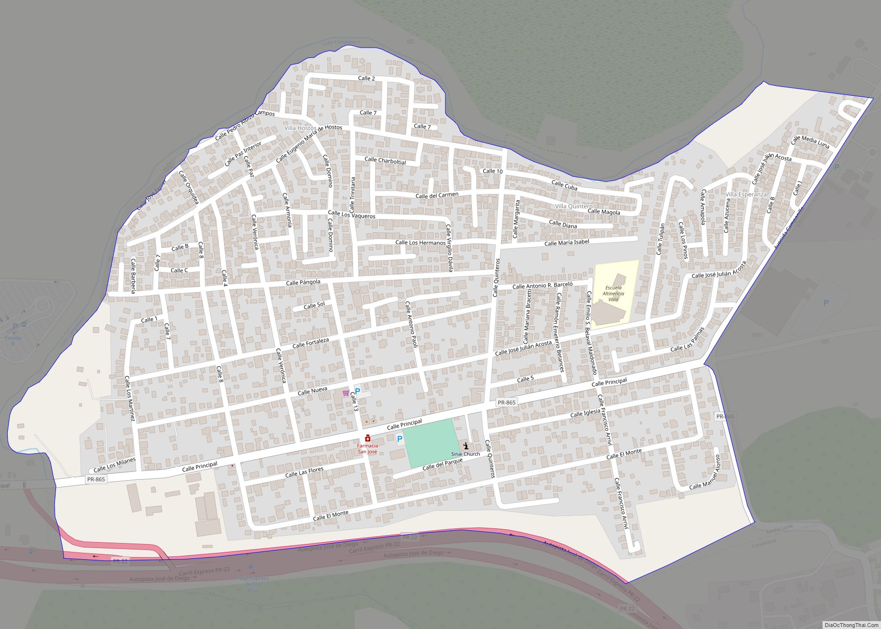
Campanilla comunidad overview: Name: Campanilla comunidad LSAD Code: 55 LSAD Description: comunidad (suffix) State: Puerto Rico County: Toa Baja Municipio FIPS code: 7211581 Online Interactive Map Campanilla online map. Source: Basemap layers from Google Map, Open Street Map (OSM), Arcgisonline, Wmflabs. Boundary Data from Database of Global Administrative Areas. Campanilla location map. Where is Campanilla ... Read more
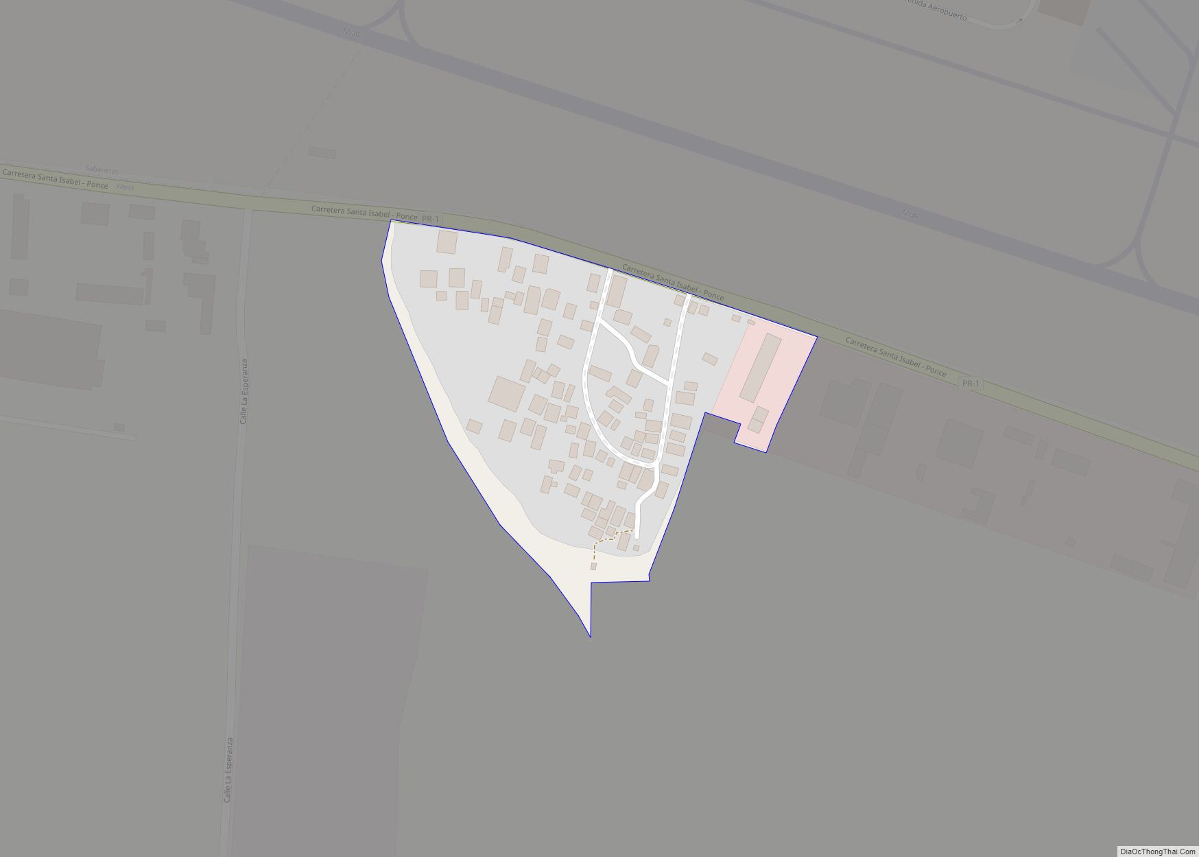
Calzada is a barrio in the municipality of Maunabo, Puerto Rico. Its population in 2010 was 1,082. Calzada comunidad overview: Name: Calzada comunidad LSAD Code: 55 LSAD Description: comunidad (suffix) State: Puerto Rico County: Ponce Municipio Elevation: 112 ft (34 m) Total Area: 3.78 sq mi (9.8 km²) Land Area: 3.24 sq mi (8.4 km²) Water Area: 0.54 sq mi (1.4 km²) Total Population: 1,082 Population ... Read more
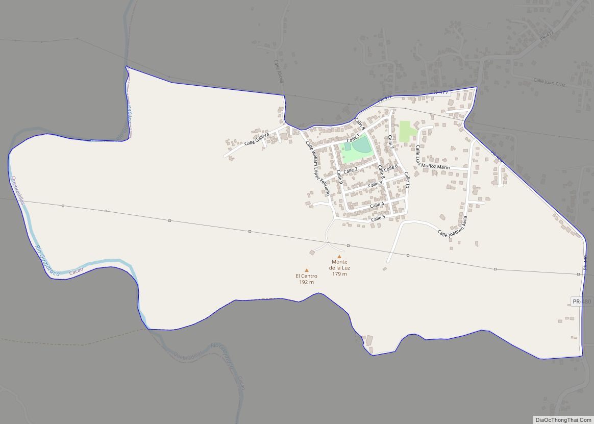
Cacao is a barrio in the municipality of Quebradillas, Puerto Rico. Its population in 2010 was 4,663. One of the communities within this barrio is named Cacao Community and in 2010 had a population of 1,001. Cacao comunidad overview: Name: Cacao comunidad LSAD Code: 55 LSAD Description: comunidad (suffix) State: Puerto Rico County: Quebradillas Municipio ... Read more
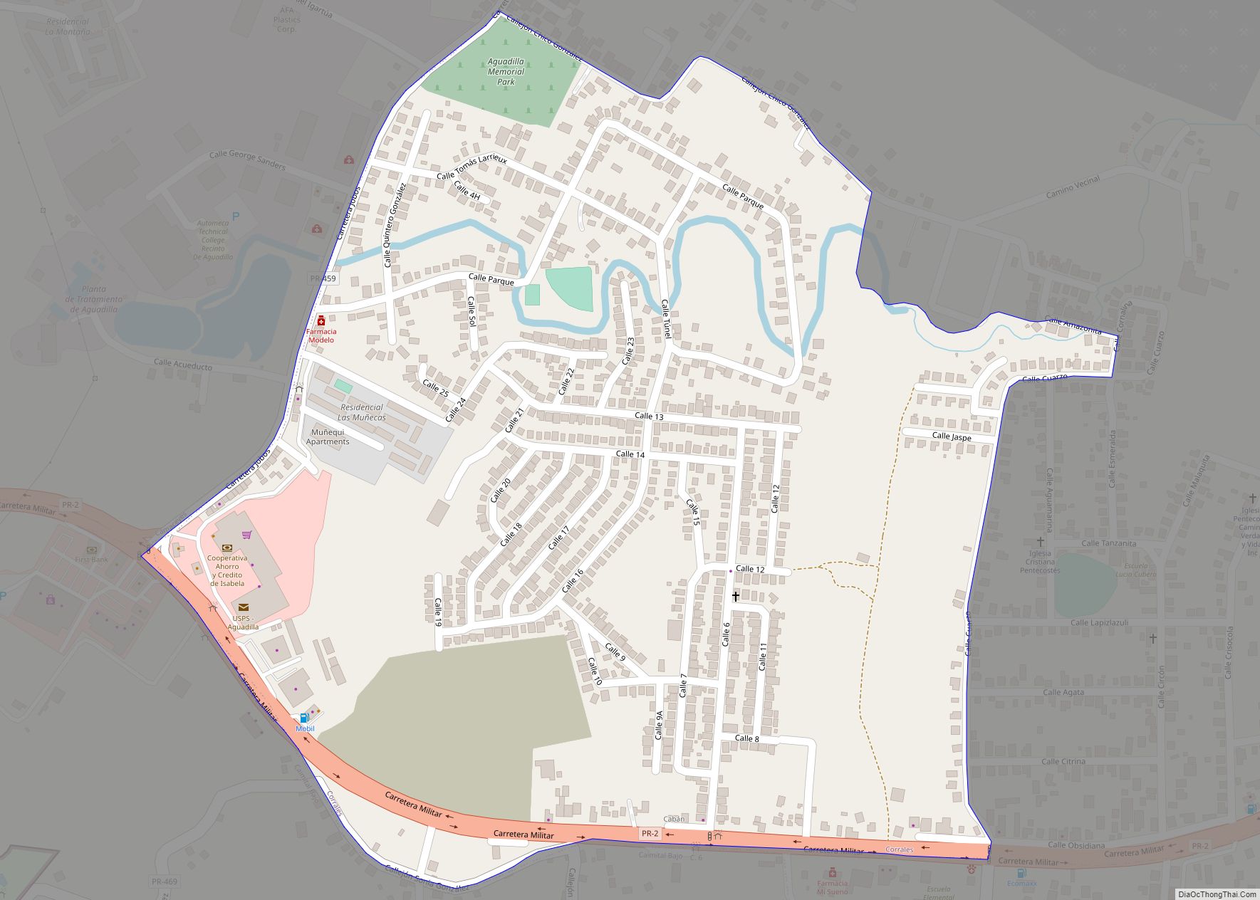
Cabán comunidad overview: Name: Cabán comunidad LSAD Code: 55 LSAD Description: comunidad (suffix) State: Puerto Rico County: Aguadilla Municipio FIPS code: 7209689 Online Interactive Map Cabán online map. Source: Basemap layers from Google Map, Open Street Map (OSM), Arcgisonline, Wmflabs. Boundary Data from Database of Global Administrative Areas. Cabán location map. Where is Cabán comunidad? ... Read more
Búfalo comunidad overview: Name: Búfalo comunidad LSAD Code: 55 LSAD Description: comunidad (suffix) State: Puerto Rico County: Barceloneta Municipio FIPS code: 7209603 Online Interactive Map Búfalo online map. Source: Basemap layers from Google Map, Open Street Map (OSM), Arcgisonline, Wmflabs. Boundary Data from Database of Global Administrative Areas. Búfalo location map. Where is Búfalo comunidad? ... Read more
Buena Vista comunidad overview: Name: Buena Vista comunidad LSAD Code: 55 LSAD Description: comunidad (suffix) State: Puerto Rico County: Arroyo Municipio FIPS code: 7209087 Online Interactive Map Buena Vista online map. Source: Basemap layers from Google Map, Open Street Map (OSM), Arcgisonline, Wmflabs. Boundary Data from Database of Global Administrative Areas. Buena Vista location map. ... Read more
Breñas comunidad overview: Name: Breñas comunidad LSAD Code: 55 LSAD Description: comunidad (suffix) State: Puerto Rico County: Vega Alta Municipio FIPS code: 7208700 Online Interactive Map Breñas online map. Source: Basemap layers from Google Map, Open Street Map (OSM), Arcgisonline, Wmflabs. Boundary Data from Database of Global Administrative Areas. Breñas location map. Where is Breñas ... Read more
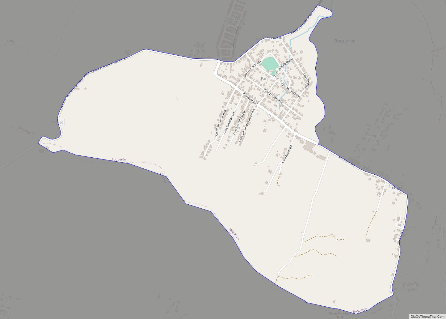
Boquerón is a barrio in the municipality of Las Piedras, Puerto Rico. Its population in 2010 was 1,824. Boquerón comunidad overview: Name: Boquerón comunidad LSAD Code: 55 LSAD Description: comunidad (suffix) State: Puerto Rico County: Las Piedras Municipio Elevation: 348 ft (106 m) Total Area: 2.87 sq mi (7.4 km²) Land Area: 2.87 sq mi (7.4 km²) Water Area: 0 sq mi (0 km²) Total Population: ... Read more
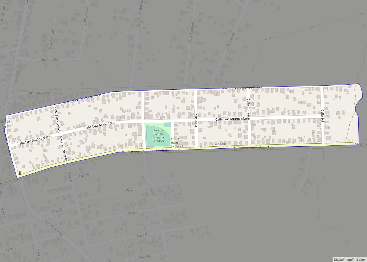
Betances comunidad overview: Name: Betances comunidad LSAD Code: 55 LSAD Description: comunidad (suffix) State: Puerto Rico County: Cabo Rojo Municipio FIPS code: 7207668 Online Interactive Map Betances online map. Source: Basemap layers from Google Map, Open Street Map (OSM), Arcgisonline, Wmflabs. Boundary Data from Database of Global Administrative Areas. Betances location map. Where is Betances ... Read more
Benítez comunidad overview: Name: Benítez comunidad LSAD Code: 55 LSAD Description: comunidad (suffix) State: Puerto Rico County: Canóvanas Municipio FIPS code: 7207496 Online Interactive Map Benítez online map. Source: Basemap layers from Google Map, Open Street Map (OSM), Arcgisonline, Wmflabs. Boundary Data from Database of Global Administrative Areas. Benítez location map. Where is Benítez comunidad? ... Read more
