Corazón comunidad overview: Name: Corazón comunidad LSAD Code: 55 LSAD Description: comunidad (suffix) State: Puerto Rico County: Guayama Municipio FIPS code: 7220353 Online Interactive Map Corazón online map. Source: Basemap layers from Google Map, Open Street Map (OSM), Arcgisonline, Wmflabs. Boundary Data from Database of Global Administrative Areas. Corazón location map. Where is Corazón comunidad? ... Read more
Puerto Rico Cities and Places
Coquí comunidad overview: Name: Coquí comunidad LSAD Code: 55 LSAD Description: comunidad (suffix) State: Puerto Rico County: Salinas Municipio FIPS code: 7220310 Online Interactive Map Coquí online map. Source: Basemap layers from Google Map, Open Street Map (OSM), Arcgisonline, Wmflabs. Boundary Data from Database of Global Administrative Areas. Coquí location map. Where is Coquí comunidad? ... Read more
Comunas comunidad overview: Name: Comunas comunidad LSAD Code: 55 LSAD Description: comunidad (suffix) State: Puerto Rico County: Yabucoa Municipio FIPS code: 7219837 Online Interactive Map Comunas online map. Source: Basemap layers from Google Map, Open Street Map (OSM), Arcgisonline, Wmflabs. Boundary Data from Database of Global Administrative Areas. Comunas location map. Where is Comunas comunidad? ... Read more
Coco comunidad overview: Name: Coco comunidad LSAD Code: 55 LSAD Description: comunidad (suffix) State: Puerto Rico County: Salinas Municipio FIPS code: 7218891 Online Interactive Map Coco online map. Source: Basemap layers from Google Map, Open Street Map (OSM), Arcgisonline, Wmflabs. Boundary Data from Database of Global Administrative Areas. Coco location map. Where is Coco comunidad? ... Read more
Cidra zona urbana overview: Name: Cidra zona urbana LSAD Code: 62 LSAD Description: zona urbana (suffix) State: Puerto Rico County: Cidra Municipio FIPS code: 7218074 Online Interactive Map Cidra online map. Source: Basemap layers from Google Map, Open Street Map (OSM), Arcgisonline, Wmflabs. Boundary Data from Database of Global Administrative Areas. Cidra location map. Where ... Read more
Cerrillos Hoyos comunidad overview: Name: Cerrillos Hoyos comunidad LSAD Code: 55 LSAD Description: comunidad (suffix) State: Puerto Rico County: Ponce Municipio FIPS code: 7217050 Online Interactive Map Cerrillos Hoyos online map. Source: Basemap layers from Google Map, Open Street Map (OSM), Arcgisonline, Wmflabs. Boundary Data from Database of Global Administrative Areas. Cerrillos Hoyos location map. ... Read more
The Central Aguirre Historic District, in Aguirre, Salinas, Puerto Rico was listed on the National Register of Historic Places in 2002. Following the acquisition of Puerto Rico by the U.S. government in 1898, as a colonial consequence of the Spanish–American War, the town was originally built as a company town by Ford & Co. (no ... Read more
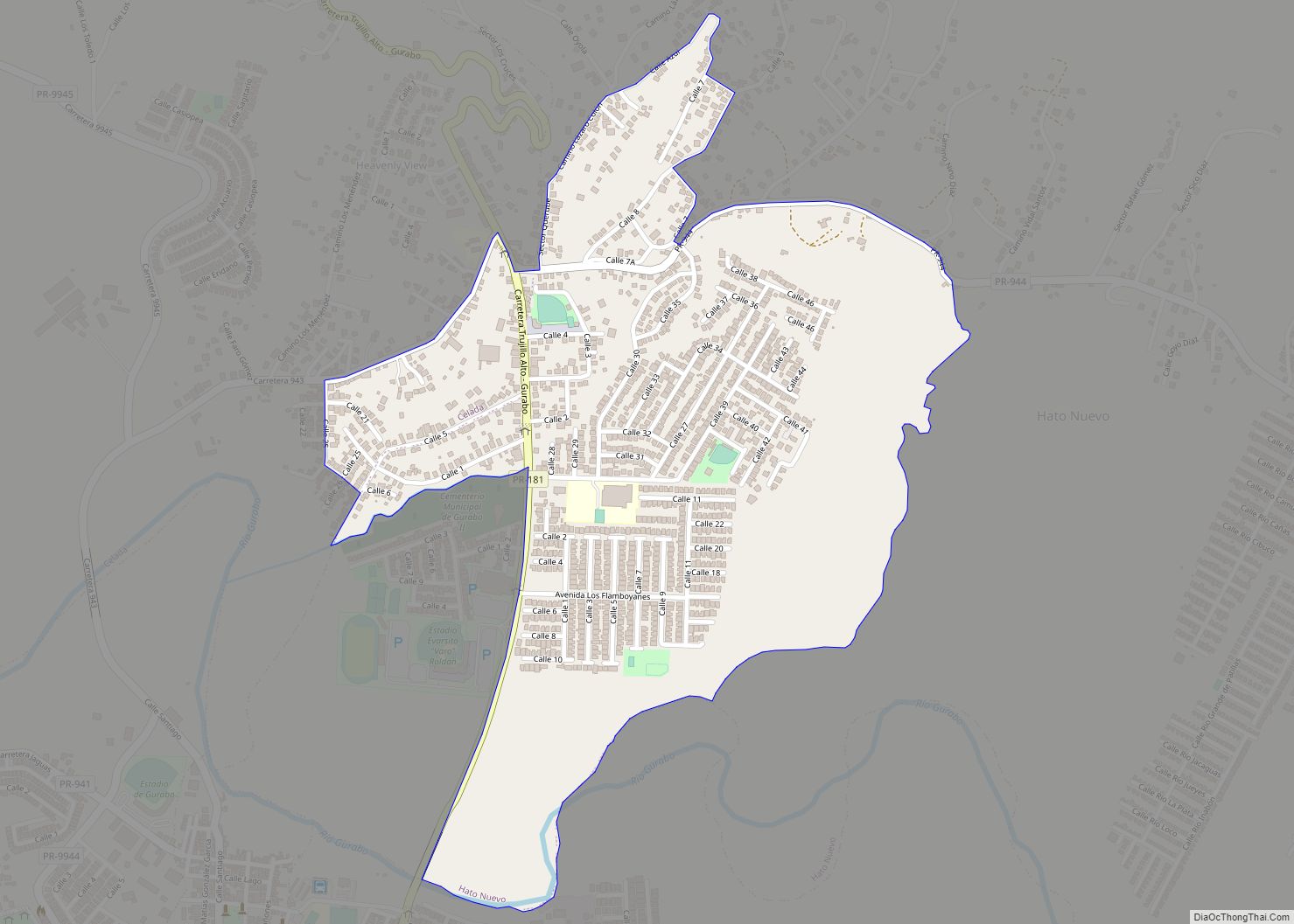
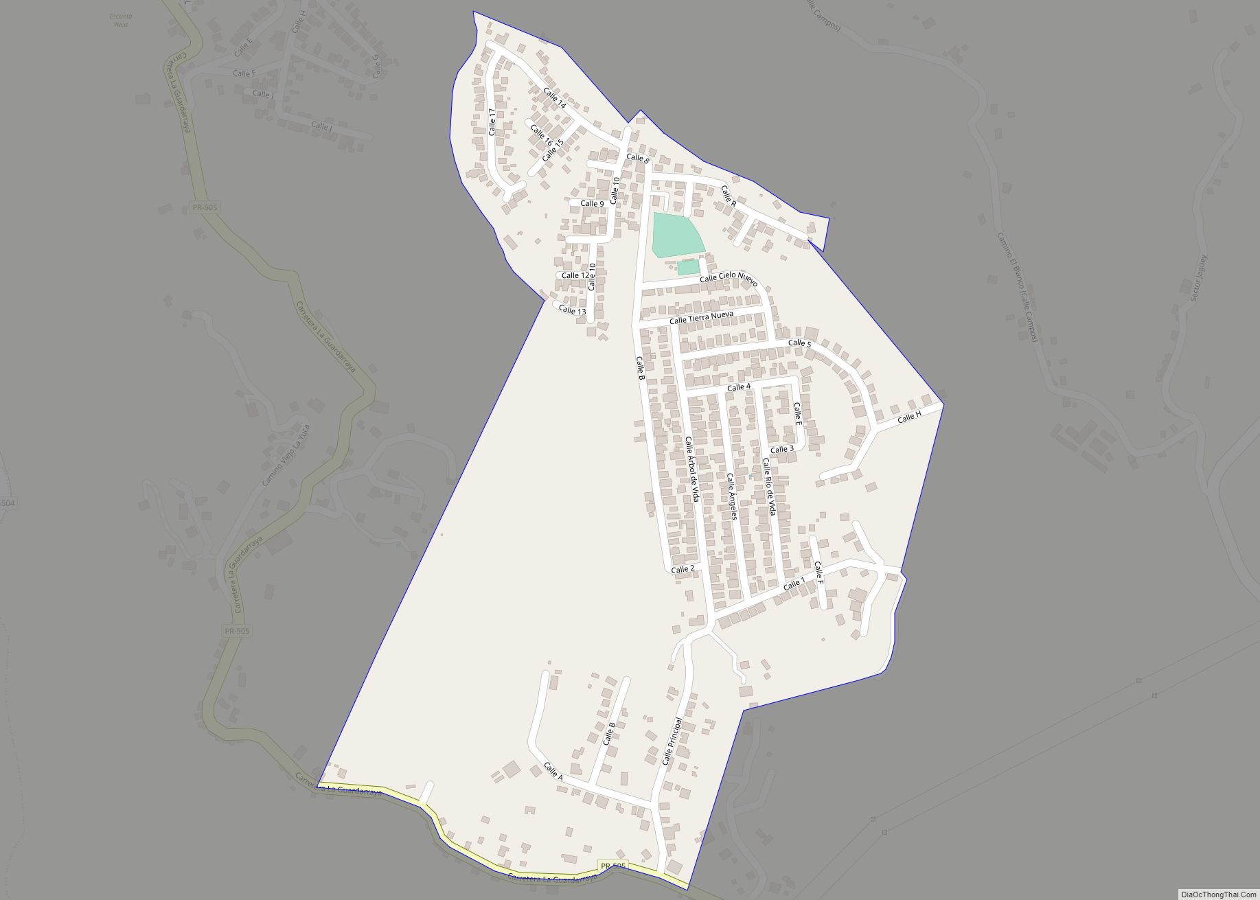
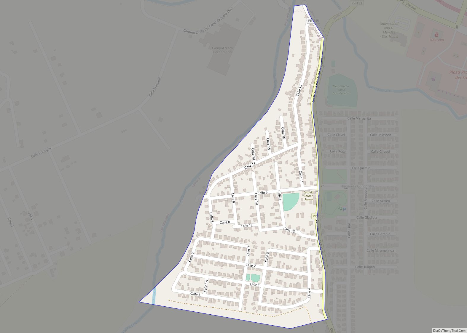
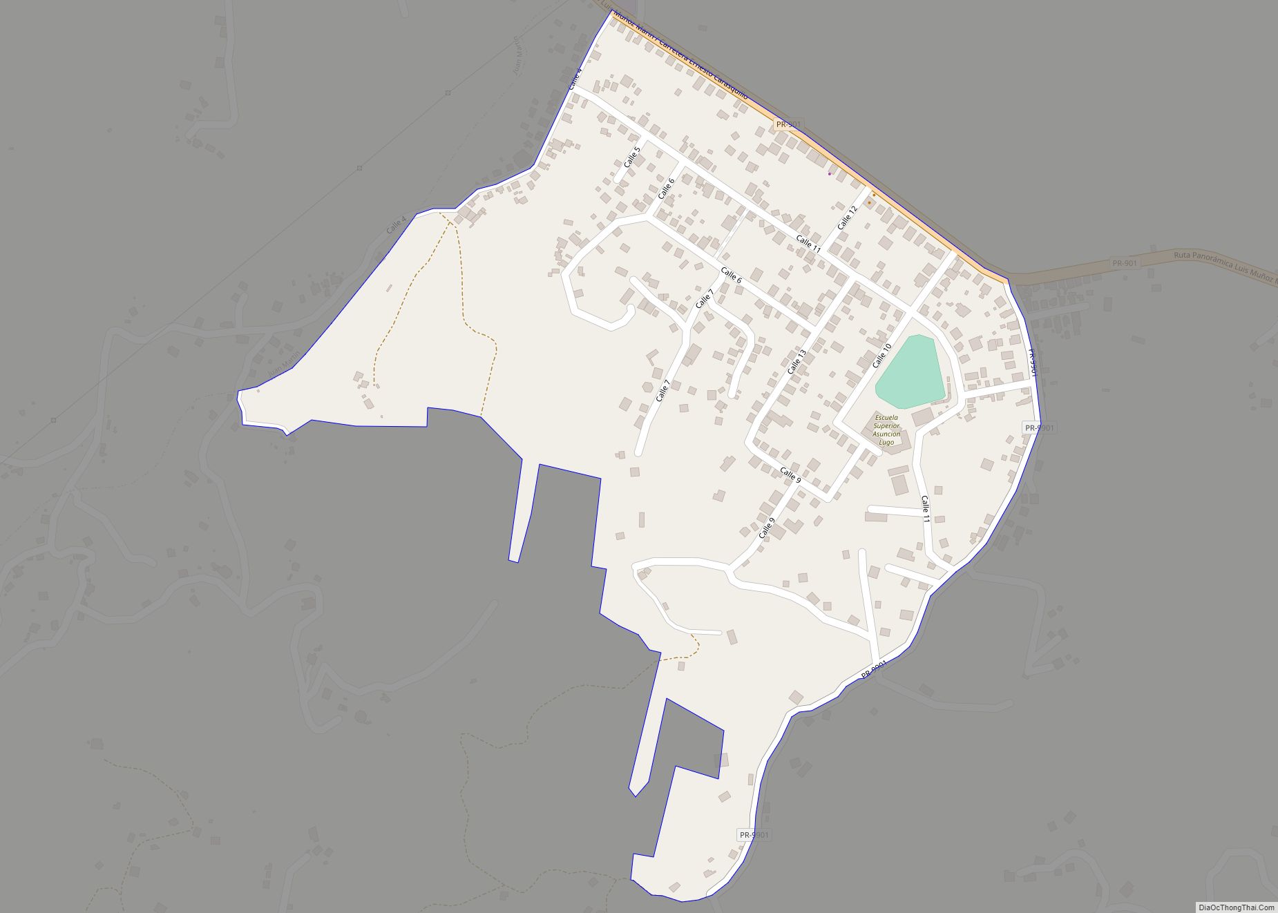
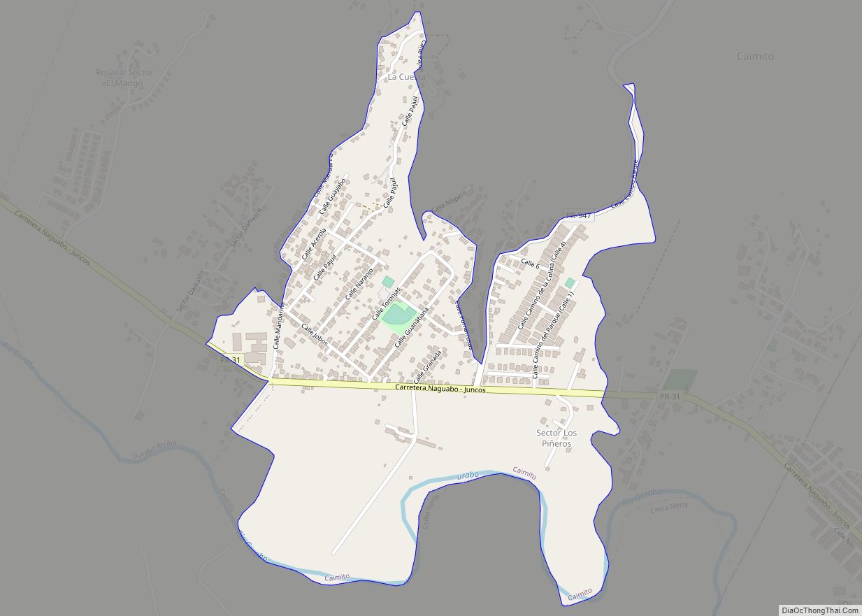
Celada is a barrio in the municipality of Gurabo, Puerto Rico. Its population in 2010 was 3,160. Celada comunidad overview: Name: Celada comunidad LSAD Code: 55 LSAD Description: comunidad (suffix) State: Puerto Rico County: Gurabo Municipio Elevation: 249 ft (76 m) Total Area: 3.61 sq mi (9.3 km²) Land Area: 3.55 sq mi (9.2 km²) Water Area: 0.06 sq mi (0.2 km²) Total Population: 3,160 Population ... Read more
El Mangó comunidad overview: Name: El Mangó comunidad LSAD Code: 55 LSAD Description: comunidad (suffix) State: Puerto Rico County: Juncos Municipio FIPS code: 7225556 Online Interactive Map El Mangó online map. Source: Basemap layers from Google Map, Open Street Map (OSM), Arcgisonline, Wmflabs. Boundary Data from Database of Global Administrative Areas. El Mangó location map. ... Read more
El Combate comunidad overview: Name: El Combate comunidad LSAD Code: 55 LSAD Description: comunidad (suffix) State: Puerto Rico County: Cabo Rojo Municipio FIPS code: 7224954 Online Interactive Map El Combate online map. Source: Basemap layers from Google Map, Open Street Map (OSM), Arcgisonline, Wmflabs. Boundary Data from Database of Global Administrative Areas. El Combate location ... Read more
Duque is a barrio in the municipality of Naguabo, Puerto Rico. Its population in 2010 was 2,425. Duque comunidad overview: Name: Duque comunidad LSAD Code: 55 LSAD Description: comunidad (suffix) State: Puerto Rico County: Naguabo Municipio Elevation: 236 ft (72 m) Total Area: 4.5 sq mi (12 km²) Land Area: 4.5 sq mi (12 km²) Water Area: 0 sq mi (0 km²) Total Population: 2,425 Population ... Read more
Daguao is a barrio in the municipality of Naguabo, Puerto Rico. Its population in 2010 was 2,273. Daguao comunidad overview: Name: Daguao comunidad LSAD Code: 55 LSAD Description: comunidad (suffix) State: Puerto Rico County: Naguabo Municipio Elevation: 148 ft (45 m) Total Area: 6.07 sq mi (15.7 km²) Land Area: 3.63 sq mi (9.4 km²) Water Area: 2.44 sq mi (6.3 km²) Total Population: 2,273 Population ... Read more