G. L. García comunidad overview: Name: G. L. García comunidad LSAD Code: 55 LSAD Description: comunidad (suffix) State: Puerto Rico County: Cayey Municipio FIPS code: 7230544 Online Interactive Map G. L. García online map. Source: Basemap layers from Google Map, Open Street Map (OSM), Arcgisonline, Wmflabs. Boundary Data from Database of Global Administrative Areas. G. ... Read more
Puerto Rico Cities and Places
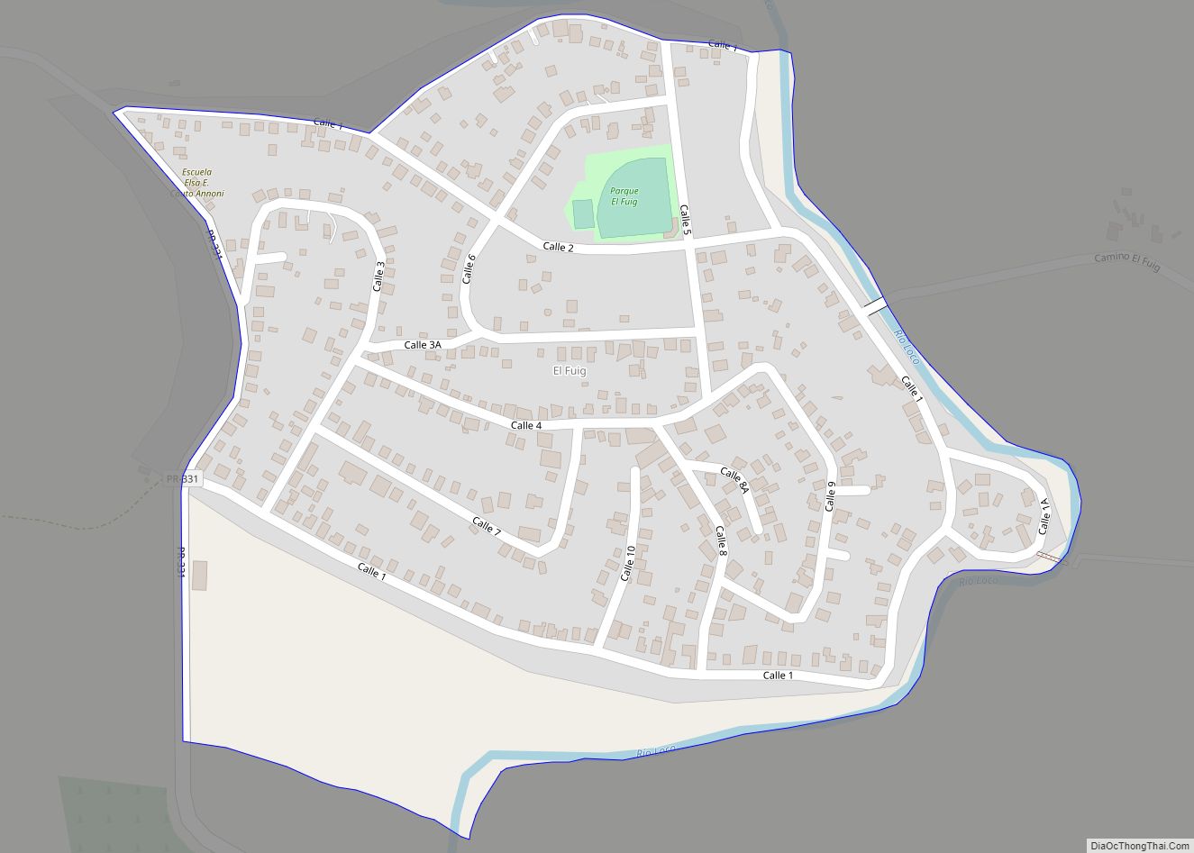
Fuig comunidad overview: Name: Fuig comunidad LSAD Code: 55 LSAD Description: comunidad (suffix) State: Puerto Rico County: Guánica Municipio FIPS code: 7229727 Online Interactive Map Fuig online map. Source: Basemap layers from Google Map, Open Street Map (OSM), Arcgisonline, Wmflabs. Boundary Data from Database of Global Administrative Areas. Fuig location map. Where is Fuig comunidad? ... Read more
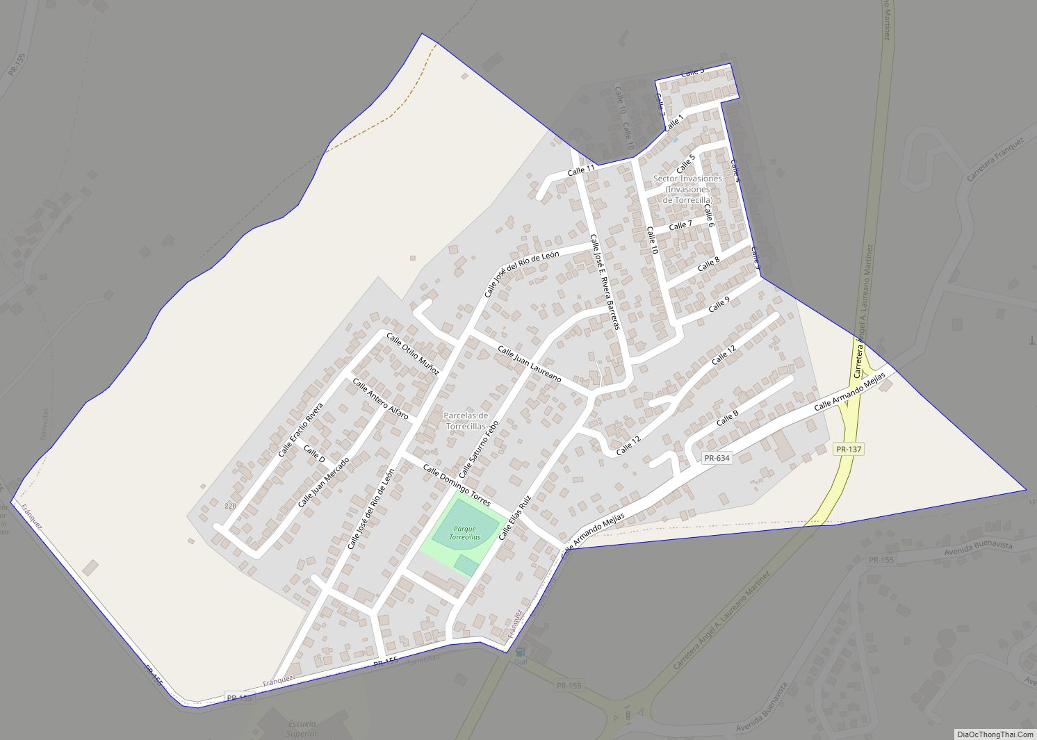
Fránquez is a barrio in the municipality of Morovis, Puerto Rico. Fránquez has twelve sectors and its population in 2010 was 4,583. Fránquez comunidad overview: Name: Fránquez comunidad LSAD Code: 55 LSAD Description: comunidad (suffix) State: Puerto Rico County: Morovis Municipio Elevation: 443 ft (135 m) Total Area: 4.2 sq mi (11 km²) Land Area: 4.2 sq mi (11 km²) Water Area: 0 sq mi ... Read more
Florida zona urbana overview: Name: Florida zona urbana LSAD Code: 62 LSAD Description: zona urbana (suffix) State: Puerto Rico County: Florida Municipio FIPS code: 7228824 Online Interactive Map Florida online map. Source: Basemap layers from Google Map, Open Street Map (OSM), Arcgisonline, Wmflabs. Boundary Data from Database of Global Administrative Areas. Florida location map. Where ... Read more
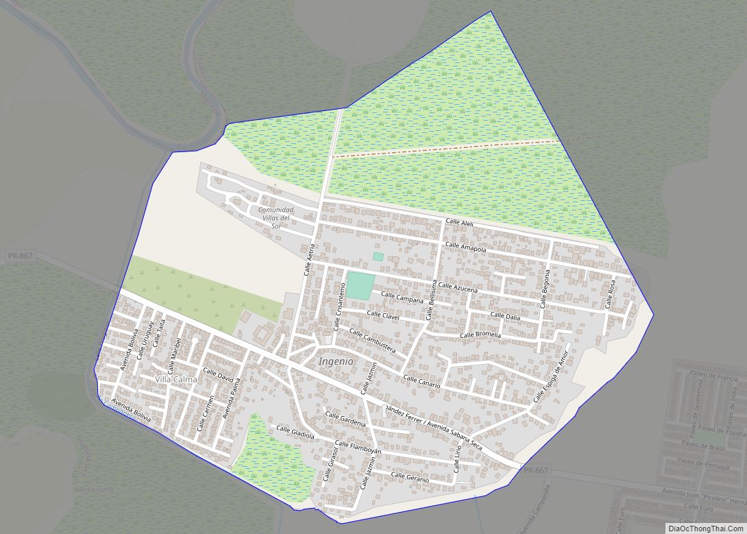
Ingenio comunidad overview: Name: Ingenio comunidad LSAD Code: 55 LSAD Description: comunidad (suffix) State: Puerto Rico County: Toa Baja Municipio FIPS code: 7236263 Online Interactive Map Ingenio online map. Source: Basemap layers from Google Map, Open Street Map (OSM), Arcgisonline, Wmflabs. Boundary Data from Database of Global Administrative Areas. Ingenio location map. Where is Ingenio ... Read more
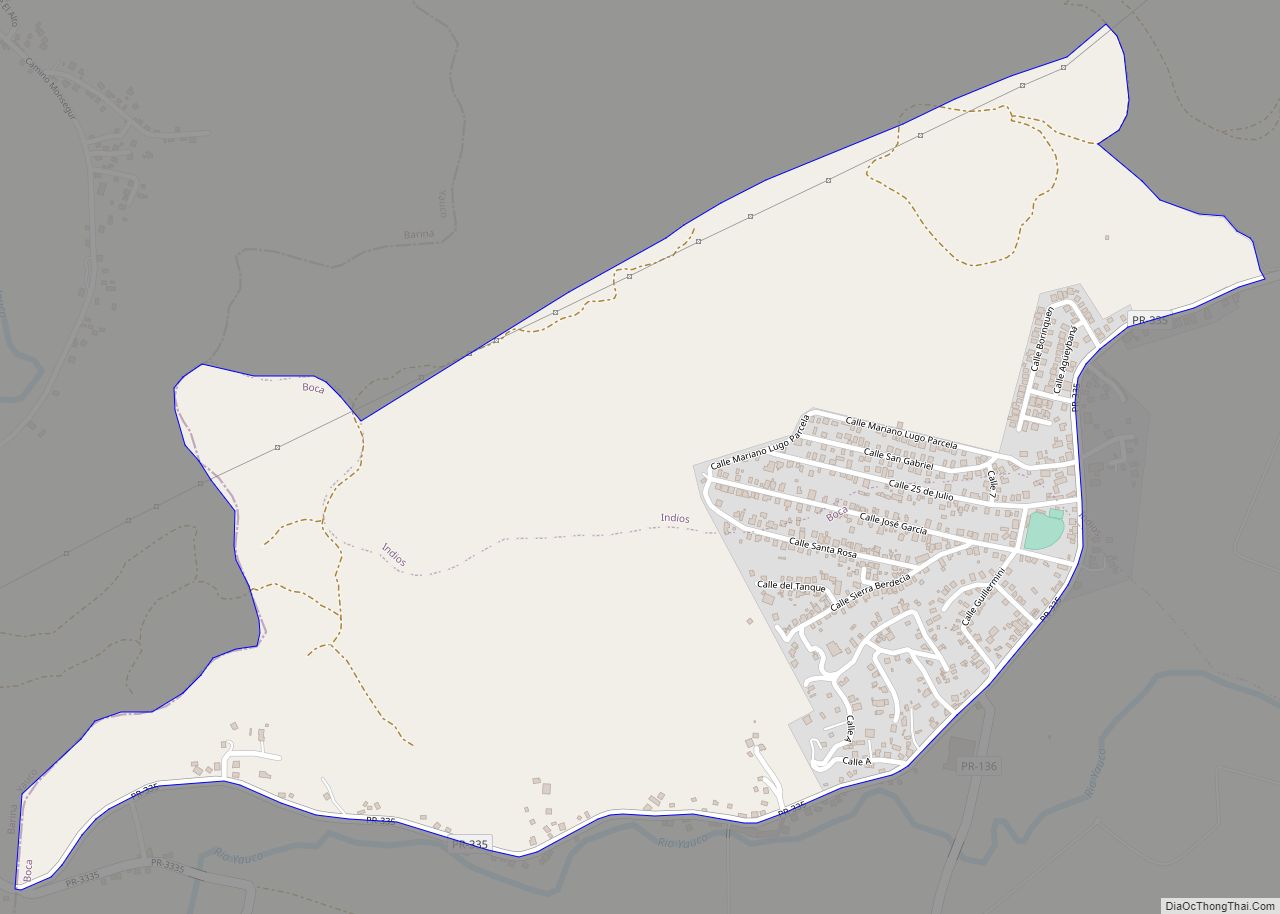
Indios is a rural barrio in the municipality of Guayanilla, Puerto Rico. Its population in 2010 was 2,647. Indios comunidad overview: Name: Indios comunidad LSAD Code: 55 LSAD Description: comunidad (suffix) State: Puerto Rico County: Guayanilla Municipio Elevation: 180 ft (50 m) Total Area: 5.31 sq mi (13.8 km²) Land Area: 4.78 sq mi (12.4 km²) Water Area: 0.53 sq mi (1.4 km²) Total Population: 2,647 ... Read more
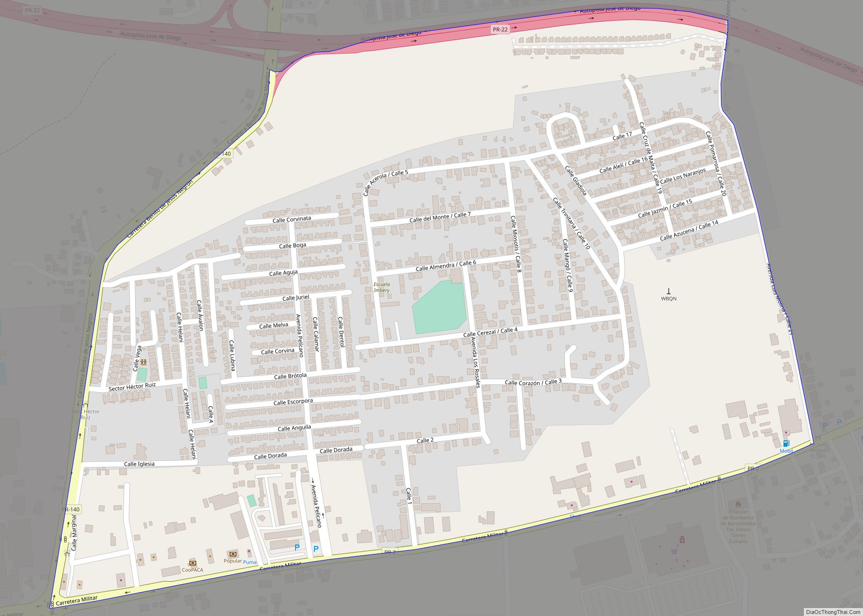
Imbéry comunidad overview: Name: Imbéry comunidad LSAD Code: 55 LSAD Description: comunidad (suffix) State: Puerto Rico County: Barceloneta Municipio FIPS code: 7235962 Online Interactive Map Imbéry online map. Source: Basemap layers from Google Map, Open Street Map (OSM), Arcgisonline, Wmflabs. Boundary Data from Database of Global Administrative Areas. Imbéry location map. Where is Imbéry comunidad? ... Read more
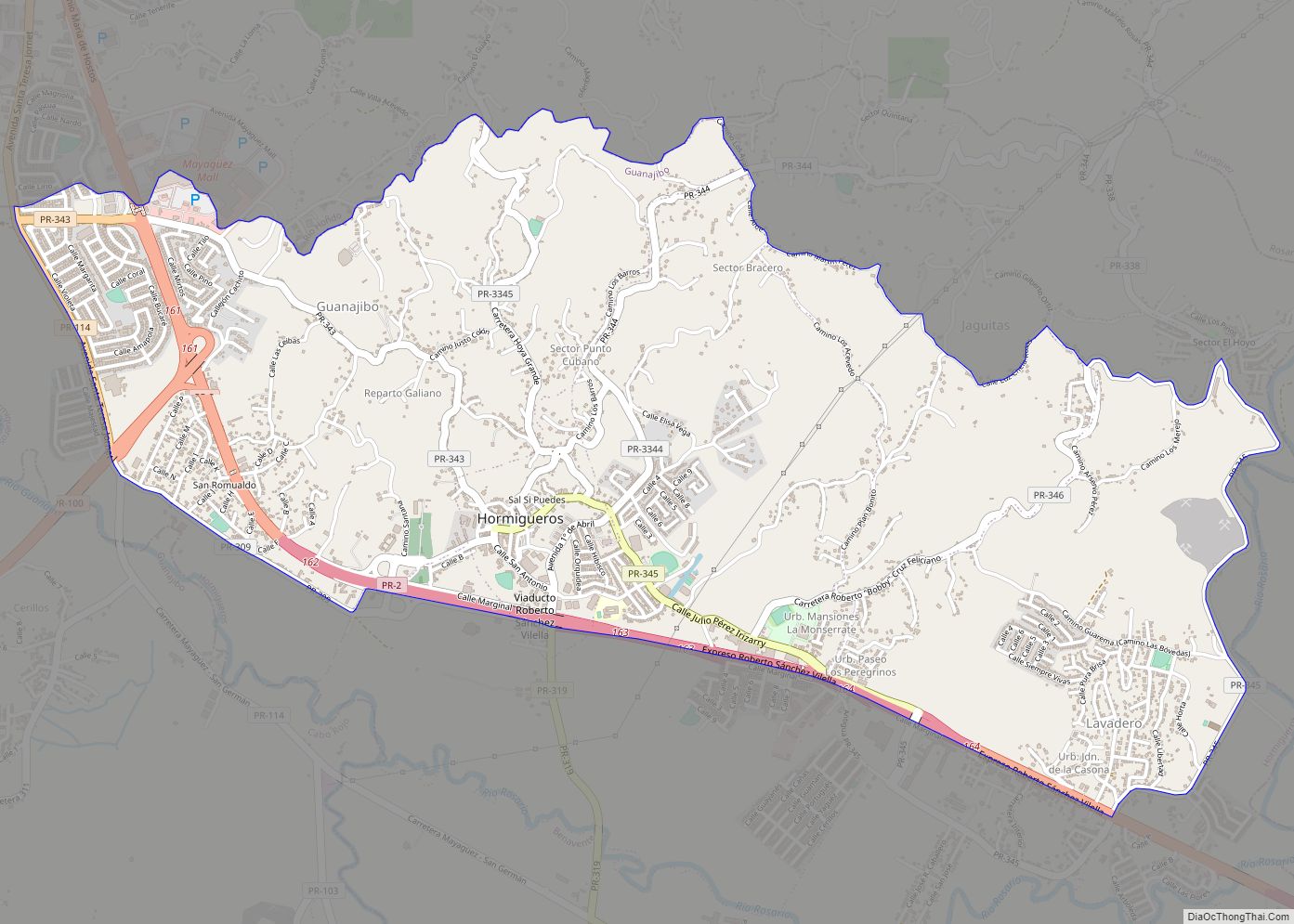
Hormigueros is a barrio in the municipality of Hormigueros, Puerto Rico. Its population in 2010 was 4,358. There is also a barrio called Hormigueros barrio-pueblo, with the administrative center and seat of this municipality. Hormigueros zona urbana overview: Name: Hormigueros zona urbana LSAD Code: 62 LSAD Description: zona urbana (suffix) State: Puerto Rico County: Hormigueros ... Read more
Hato Candal comunidad overview: Name: Hato Candal comunidad LSAD Code: 55 LSAD Description: comunidad (suffix) State: Puerto Rico County: Río Grande Municipio FIPS code: 7233683 Online Interactive Map Hato Candal online map. Source: Basemap layers from Google Map, Open Street Map (OSM), Arcgisonline, Wmflabs. Boundary Data from Database of Global Administrative Areas. Hato Candal location ... Read more
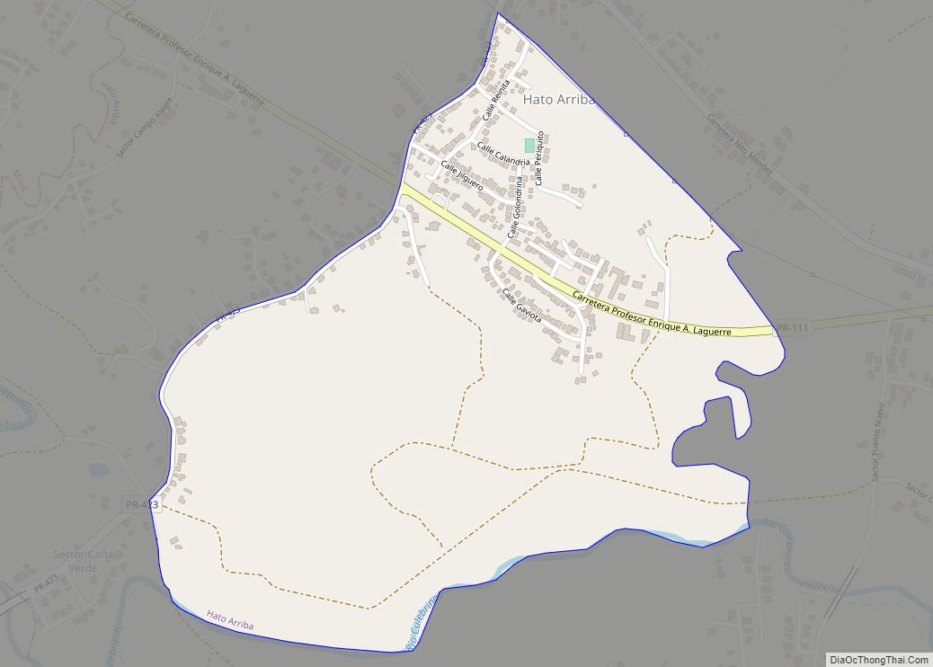
Hato Arriba is a barrio in the municipality of San Sebastián, Puerto Rico. Its population in 2010 was 1,980. Hato Arriba comunidad overview: Name: Hato Arriba comunidad LSAD Code: 55 LSAD Description: comunidad (suffix) State: Puerto Rico County: San Sebastián Municipio Elevation: 246 ft (75 m) Total Area: 2.96 sq mi (7.7 km²) Land Area: 2.96 sq mi (7.7 km²) Water Area: 0 sq mi ... Read more
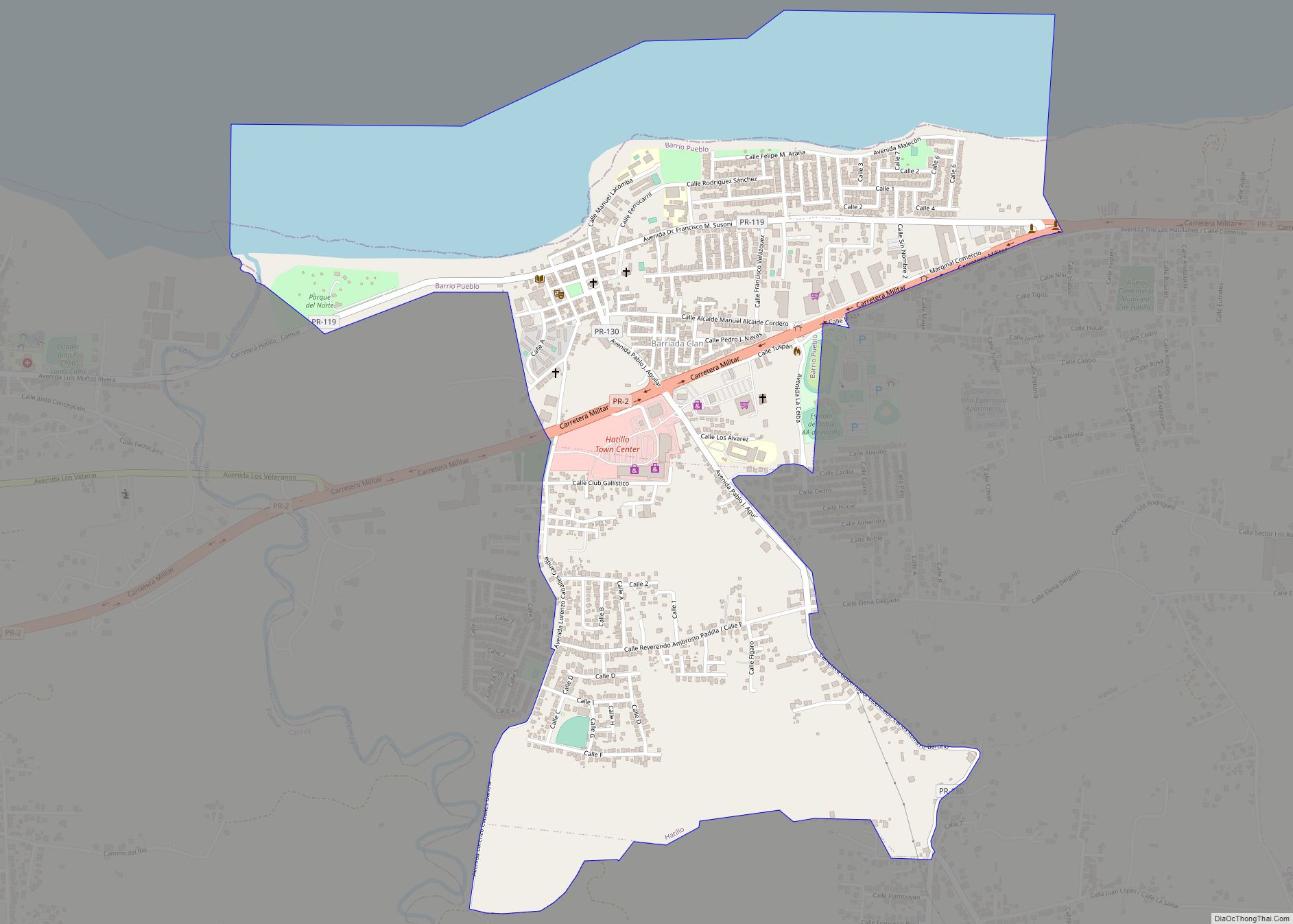
Hatillo is a barrio in the municipality of Hatillo, Puerto Rico. Its population in 2010 was 3,806. Hatillo zona urbana overview: Name: Hatillo zona urbana LSAD Code: 62 LSAD Description: zona urbana (suffix) State: Puerto Rico County: Hatillo Municipio Elevation: 52 ft (16 m) Total Area: 1.81 sq mi (4.7 km²) Land Area: 1.60 sq mi (4.1 km²) Water Area: 0.21 sq mi (0.5 km²) Total ... Read more
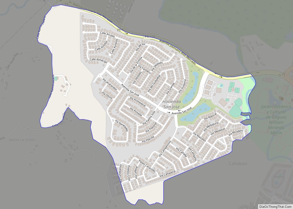
Hacienda San José comunidad overview: Name: Hacienda San José comunidad LSAD Code: 55 LSAD Description: comunidad (suffix) State: Puerto Rico County: Caguas Municipio FIPS code: 7233184 Online Interactive Map Hacienda San José online map. Source: Basemap layers from Google Map, Open Street Map (OSM), Arcgisonline, Wmflabs. Boundary Data from Database of Global Administrative Areas. Hacienda ... Read more
