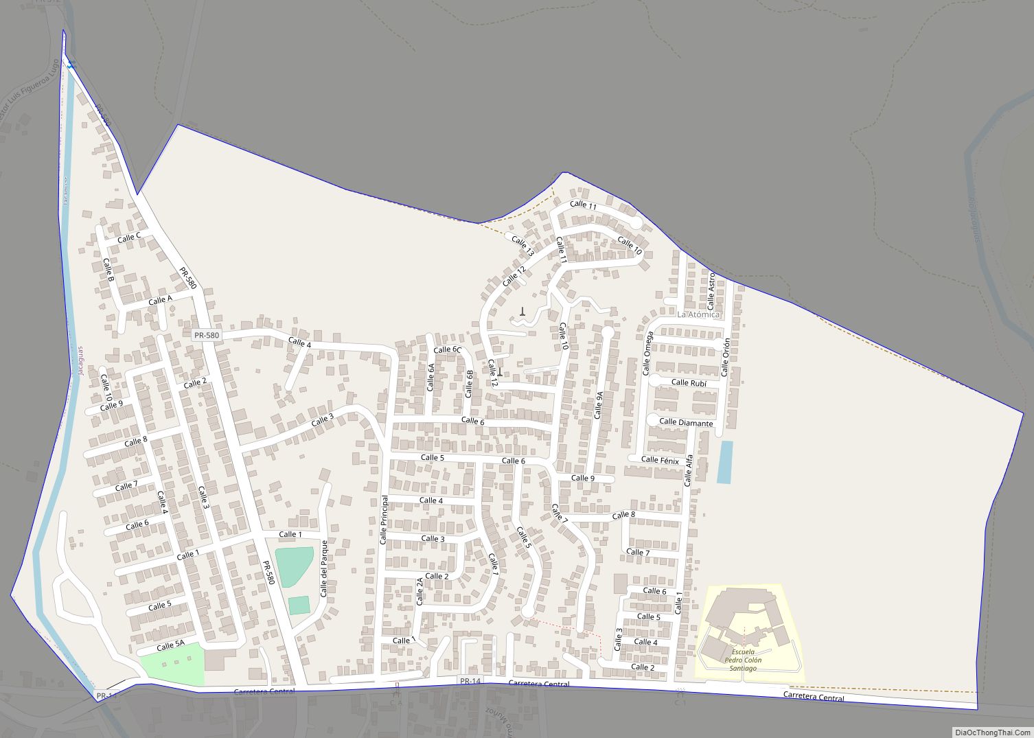
Luis Lloréns Torres comunidad overview: Name: Luis Lloréns Torres comunidad LSAD Code: 55 LSAD Description: comunidad (suffix) State: Puerto Rico County: Juana Díaz Municipio FIPS code: 7247615 Online Interactive Map Luis Lloréns Torres online map. Source: Basemap layers from Google Map, Open Street Map (OSM), Arcgisonline, Wmflabs. Boundary Data from Database of Global Administrative Areas. ... Read more
Puerto Rico Cities and Places
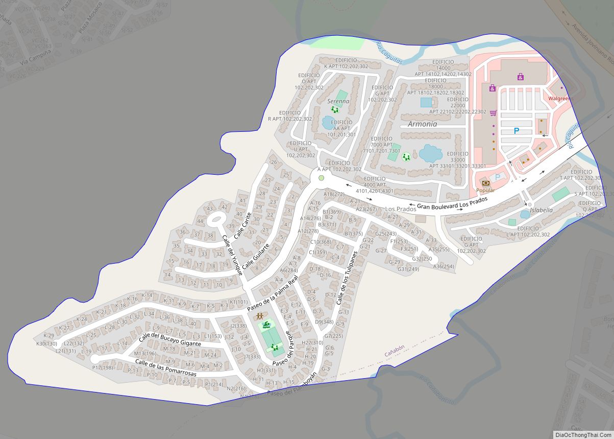
Los Prados comunidad overview: Name: Los Prados comunidad LSAD Code: 55 LSAD Description: comunidad (suffix) State: Puerto Rico County: Caguas Municipio FIPS code: 7247422 Online Interactive Map Los Prados online map. Source: Basemap layers from Google Map, Open Street Map (OSM), Arcgisonline, Wmflabs. Boundary Data from Database of Global Administrative Areas. Los Prados location map. ... Read more
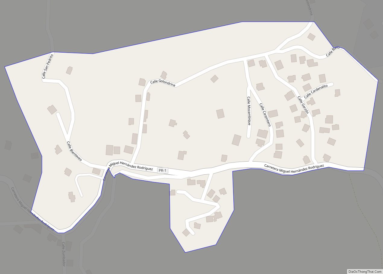
Los Panes comunidad overview: Name: Los Panes comunidad LSAD Code: 55 LSAD Description: comunidad (suffix) State: Puerto Rico County: Caguas Municipio FIPS code: 7247336 Online Interactive Map Los Panes online map. Source: Basemap layers from Google Map, Open Street Map (OSM), Arcgisonline, Wmflabs. Boundary Data from Database of Global Administrative Areas. Los Panes location map. ... Read more
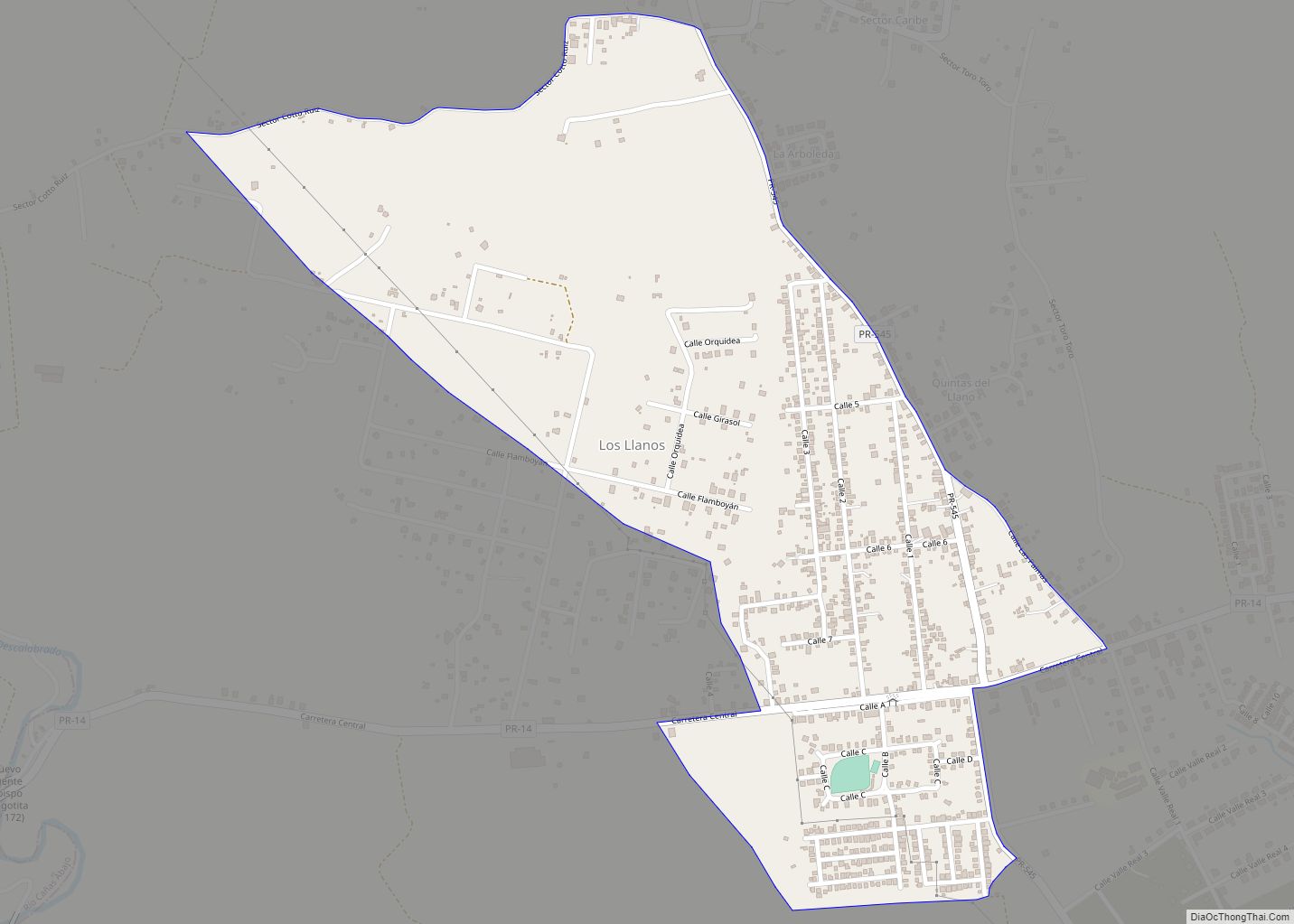
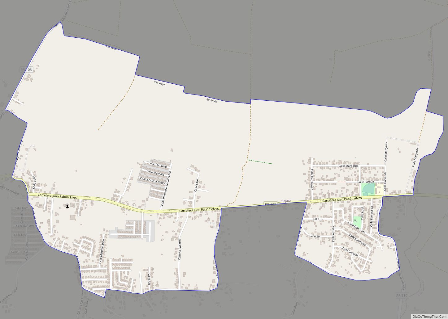
Los Llanos is a barrio in the municipality of Coamo, Puerto Rico. Its population in 2010 was 4,862. Los Llanos comunidad overview: Name: Los Llanos comunidad LSAD Code: 55 LSAD Description: comunidad (suffix) State: Puerto Rico County: Coamo Municipio Elevation: 463 ft (141 m) Total Area: 6.8 sq mi (18 km²) Land Area: 6.8 sq mi (18 km²) Water Area: 0 sq mi (0 km²) Total ... Read more
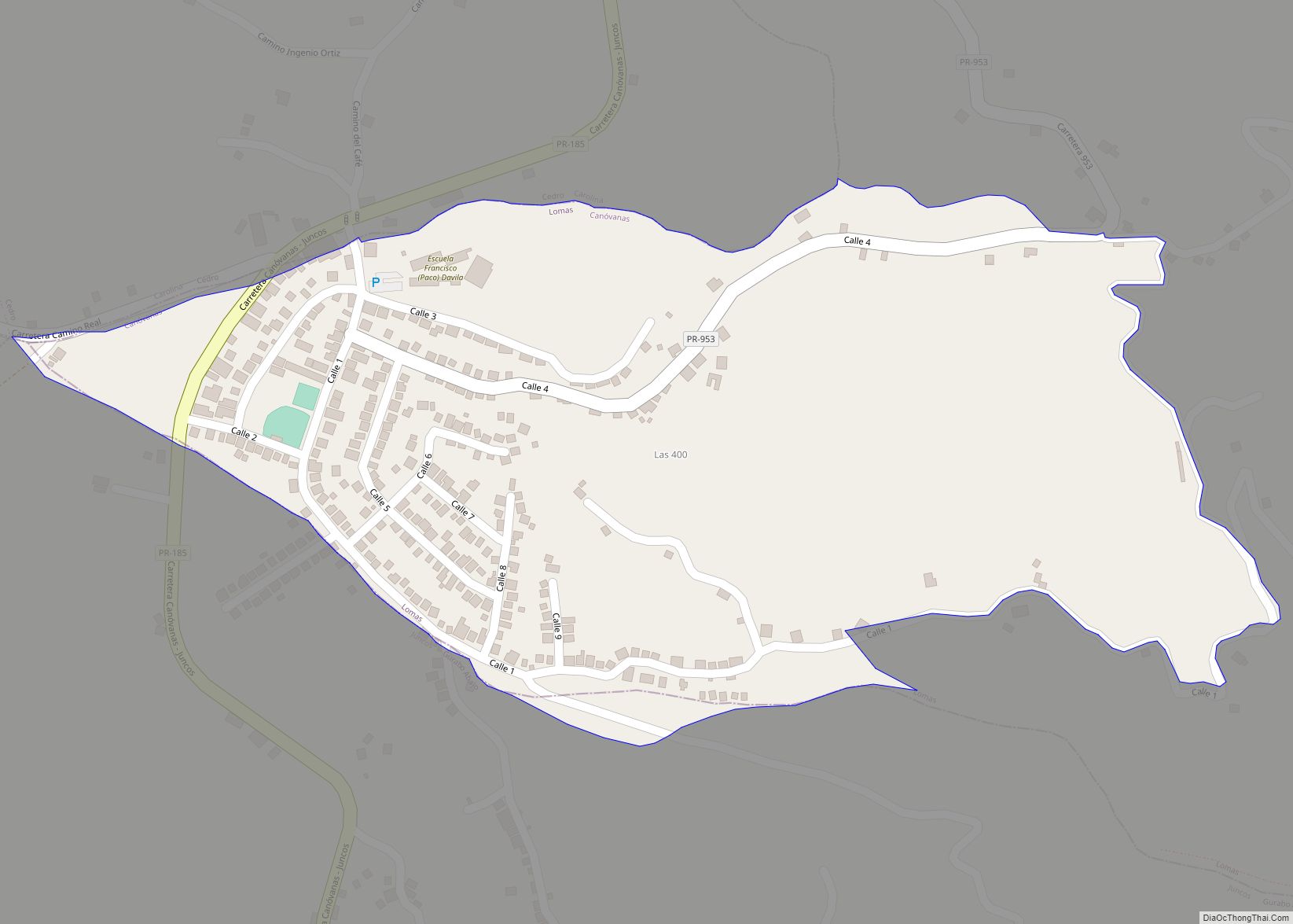
Lomas is a barrio in the municipality of Canóvanas, Puerto Rico. Its population in 2010 was 5,336. Lomas comunidad overview: Name: Lomas comunidad LSAD Code: 55 LSAD Description: comunidad (suffix) State: Puerto Rico County: Canóvanas Municipio Elevation: 889 ft (271 m) Total Area: 7.39 sq mi (19.1 km²) Land Area: 7.39 sq mi (19.1 km²) Water Area: 0.00 sq mi (0.0 km²) Total Population: 5,336 Population ... Read more
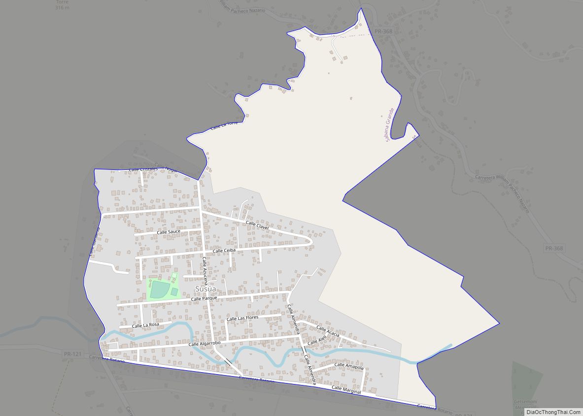
Lluveras comunidad overview: Name: Lluveras comunidad LSAD Code: 55 LSAD Description: comunidad (suffix) State: Puerto Rico County: Sabana Grande Municipio FIPS code: 7246282 Online Interactive Map Lluveras online map. Source: Basemap layers from Google Map, Open Street Map (OSM), Arcgisonline, Wmflabs. Boundary Data from Database of Global Administrative Areas. Lluveras location map. Where is Lluveras ... Read more
Liborio Negrón Torres comunidad overview: Name: Liborio Negrón Torres comunidad LSAD Code: 55 LSAD Description: comunidad (suffix) State: Puerto Rico County: Sabana Grande Municipio FIPS code: 7245379 Online Interactive Map Liborio Negrón Torres online map. Source: Basemap layers from Google Map, Open Street Map (OSM), Arcgisonline, Wmflabs. Boundary Data from Database of Global Administrative Areas. ... Read more
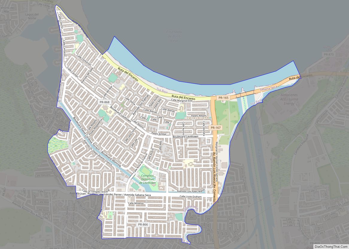
Levittown, a community in the San Juan MSA and part of the municipality of Toa Baja, is one of the largest planned communities in Puerto Rico. Per the 2020 census, the population was 25,591. It was developed by Levitt & Sons in 1963. Levittown is divided into eight sections called secciones (the eighth section was ... Read more
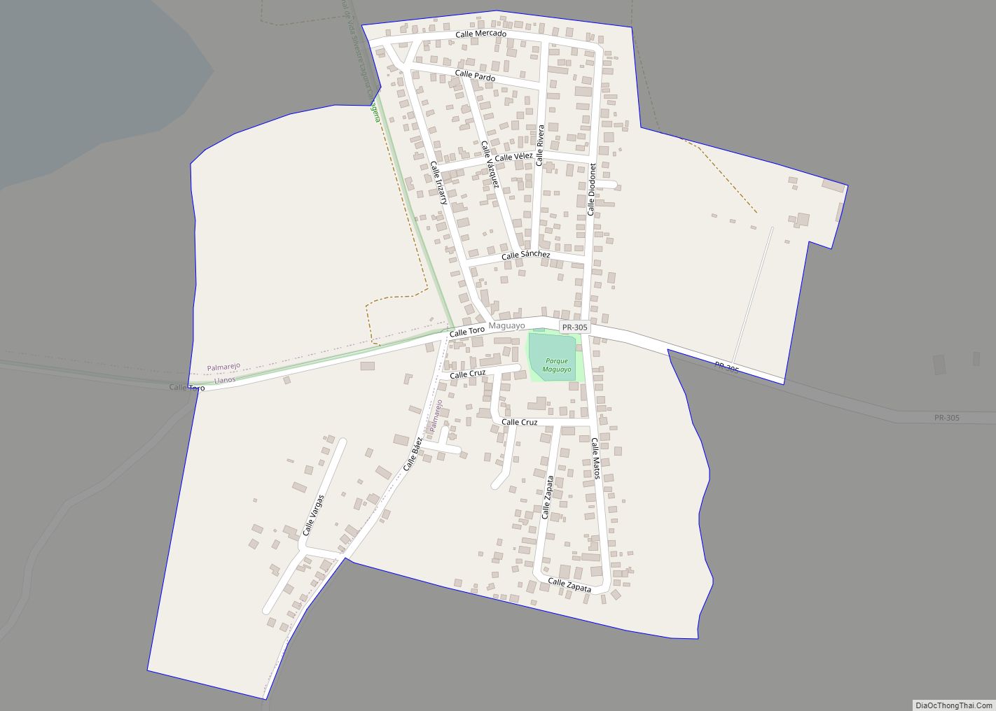
Maguayo is a barrio in the municipality of Dorado, Puerto Rico. Its population in 2010 was 4,496. Maguayo comunidad overview: Name: Maguayo comunidad LSAD Code: 55 LSAD Description: comunidad (suffix) State: Puerto Rico County: Lajas Municipio Elevation: 135 ft (41 m) Total Area: 3.88 sq mi (10.0 km²) Land Area: 3.86 sq mi (10.0 km²) Water Area: 0.02 sq mi (0.05 km²) Total Population: 4,496 Population ... Read more
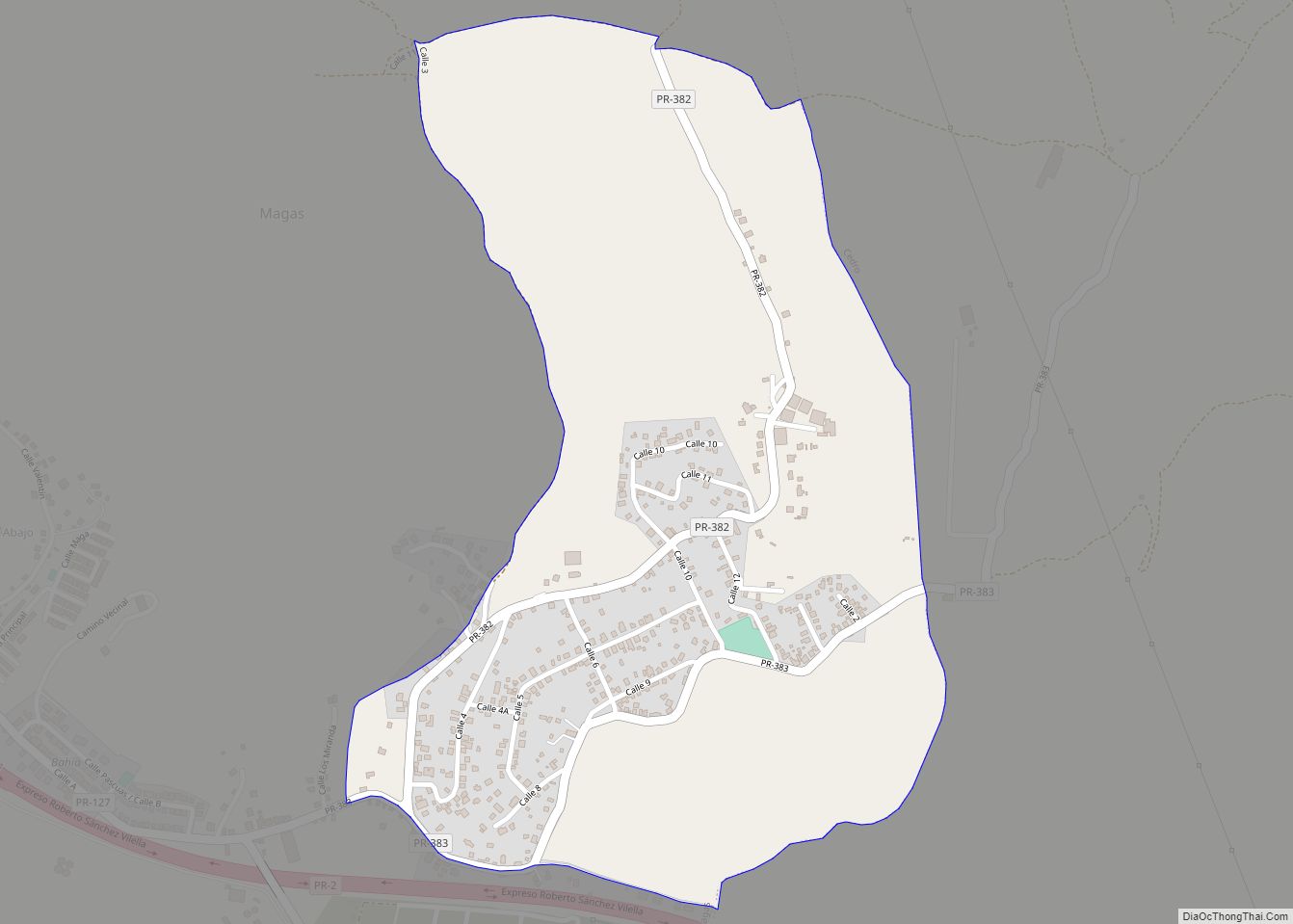
Magas Arriba comunidad overview: Name: Magas Arriba comunidad LSAD Code: 55 LSAD Description: comunidad (suffix) State: Puerto Rico County: Guayanilla Municipio FIPS code: 7248604 Online Interactive Map Magas Arriba online map. Source: Basemap layers from Google Map, Open Street Map (OSM), Arcgisonline, Wmflabs. Boundary Data from Database of Global Administrative Areas. Magas Arriba location map. ... Read more
Monte Grande is a barrio in the municipality of Cabo Rojo, Puerto Rico. Its population in 2010 was 7,227. Monte Grande comunidad overview: Name: Monte Grande comunidad LSAD Code: 55 LSAD Description: comunidad (suffix) State: Puerto Rico County: Cabo Rojo Municipio Elevation: 292 ft (89 m) Total Area: 3.8 sq mi (10 km²) Land Area: 3.8 sq mi (10 km²) Water Area: 0.0 sq mi ... Read more
Monserrate comunidad overview: Name: Monserrate comunidad LSAD Code: 55 LSAD Description: comunidad (suffix) State: Puerto Rico County: Vega Alta Municipio, Vega Baja Municipio FIPS code: 7253979 Online Interactive Map Monserrate online map. Source: Basemap layers from Google Map, Open Street Map (OSM), Arcgisonline, Wmflabs. Boundary Data from Database of Global Administrative Areas. Monserrate location map. ... Read more
