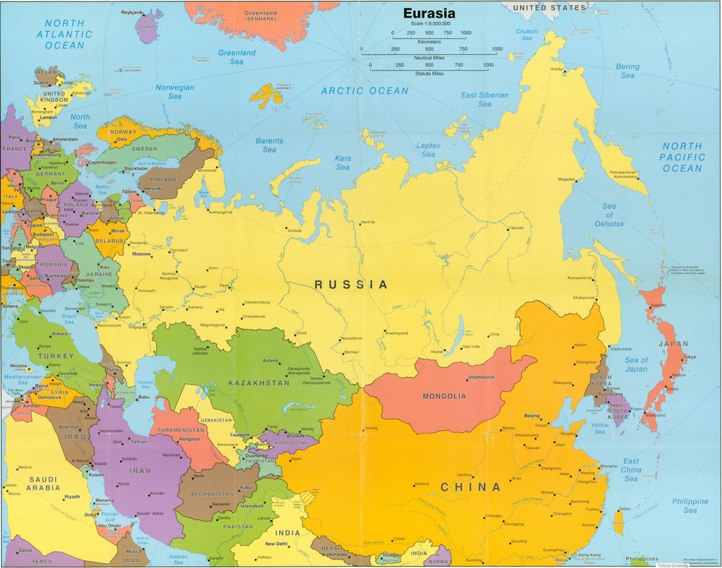
Asia is the largest continent in the world, both in terms of area and population.
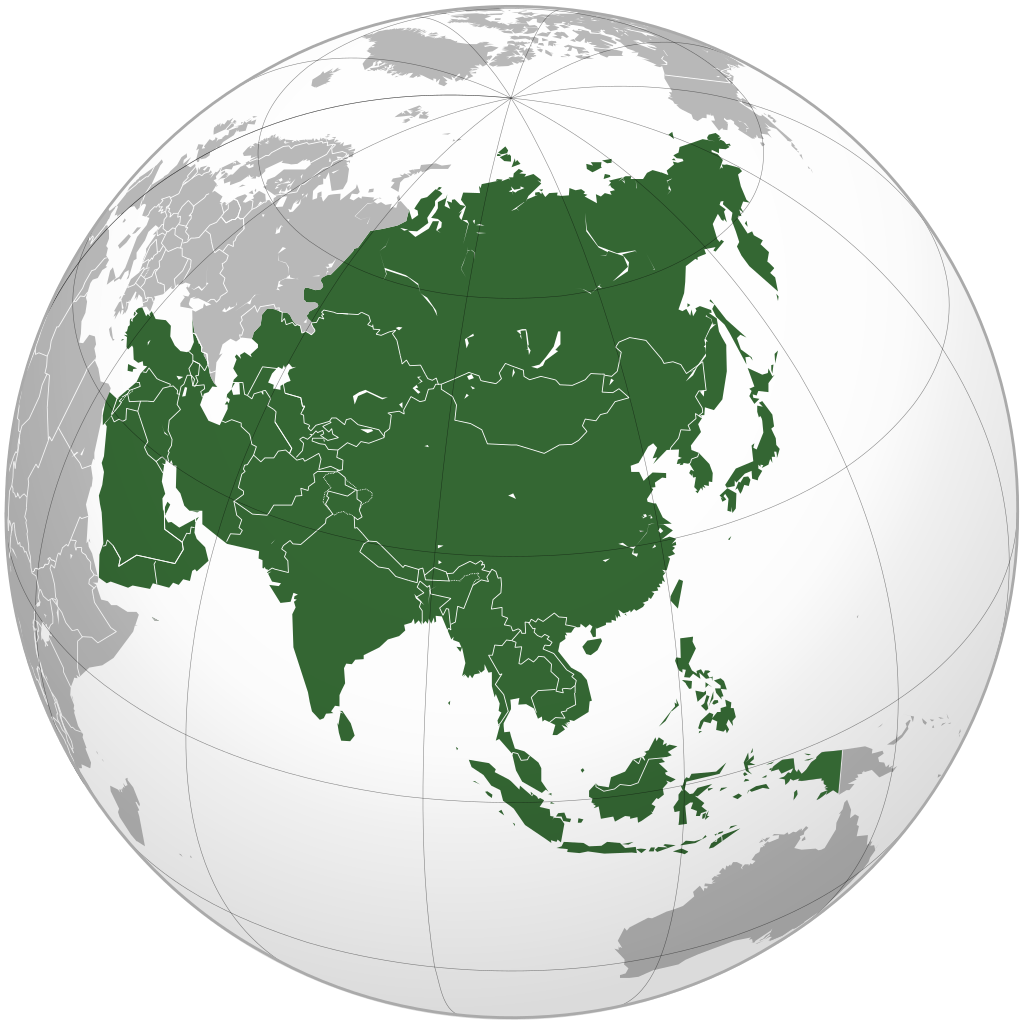
Asia is located almost entirely in the Northern Hemisphere, with the exception of some islands in Southeast Asia. Asia connects to Africa through the Suez Canal. Asia also borders Europe along the Ural Mountains and through the Caspian Sea. Geographically, these two continents are part of the same landmass (the Eurasian continent).
Asia covers an area of 49.7 million km², which is approximately 30% of the world’s land area; it includes 55 countries with nearly 5 billion people, representing 60% of the world’s population. Asia has 47 independent countries and 8 territories (Taiwan, Hong Kong, Macau, British Indian Ocean Territory, Palestine, Abkhazia, South Ossetia, Nagorno-Karabakh).
The largest country by area is Russia, with over 17 million km², of which 13 million km² (77%) is in the Asian region. However, based on ethnicity and culture, Russia is considered a European country.
The second-largest Asian country is China, with an area of 9.6 million km². The smallest independent country in Asia is the island nation of Maldives, with an area of 298 km².
The Asia Map helps you better understand the complexity and diversity of this continent. Let’s explore the special and fascinating aspects of Asia, a place where cultures and histories meet in a diverse and rich space.
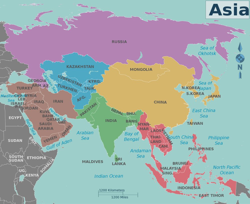
Asia is divided into 5 regions: East Asia, Southeast Asia, South Asia, West Asia, and Central Asia.
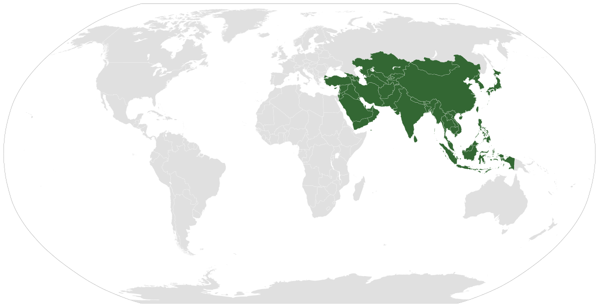
Location of Asia on the World Map
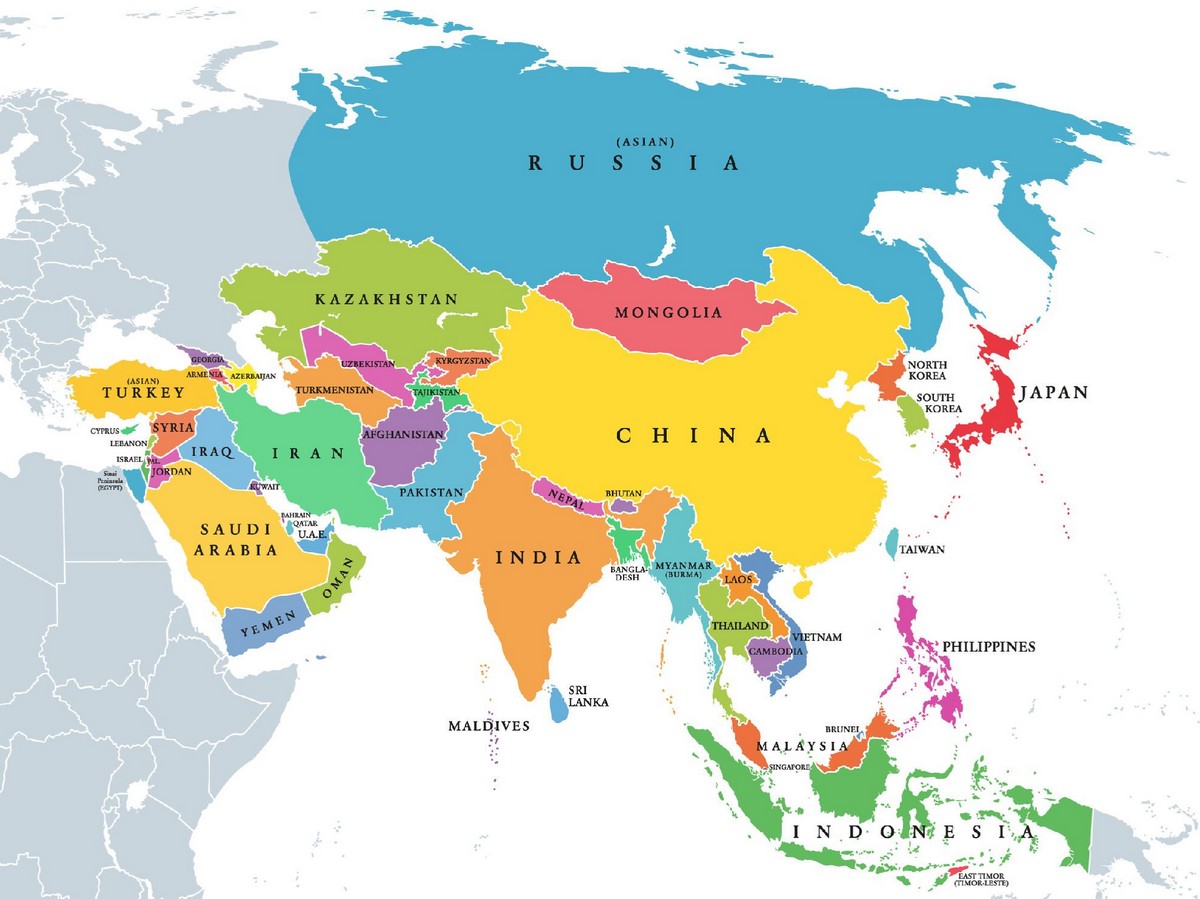
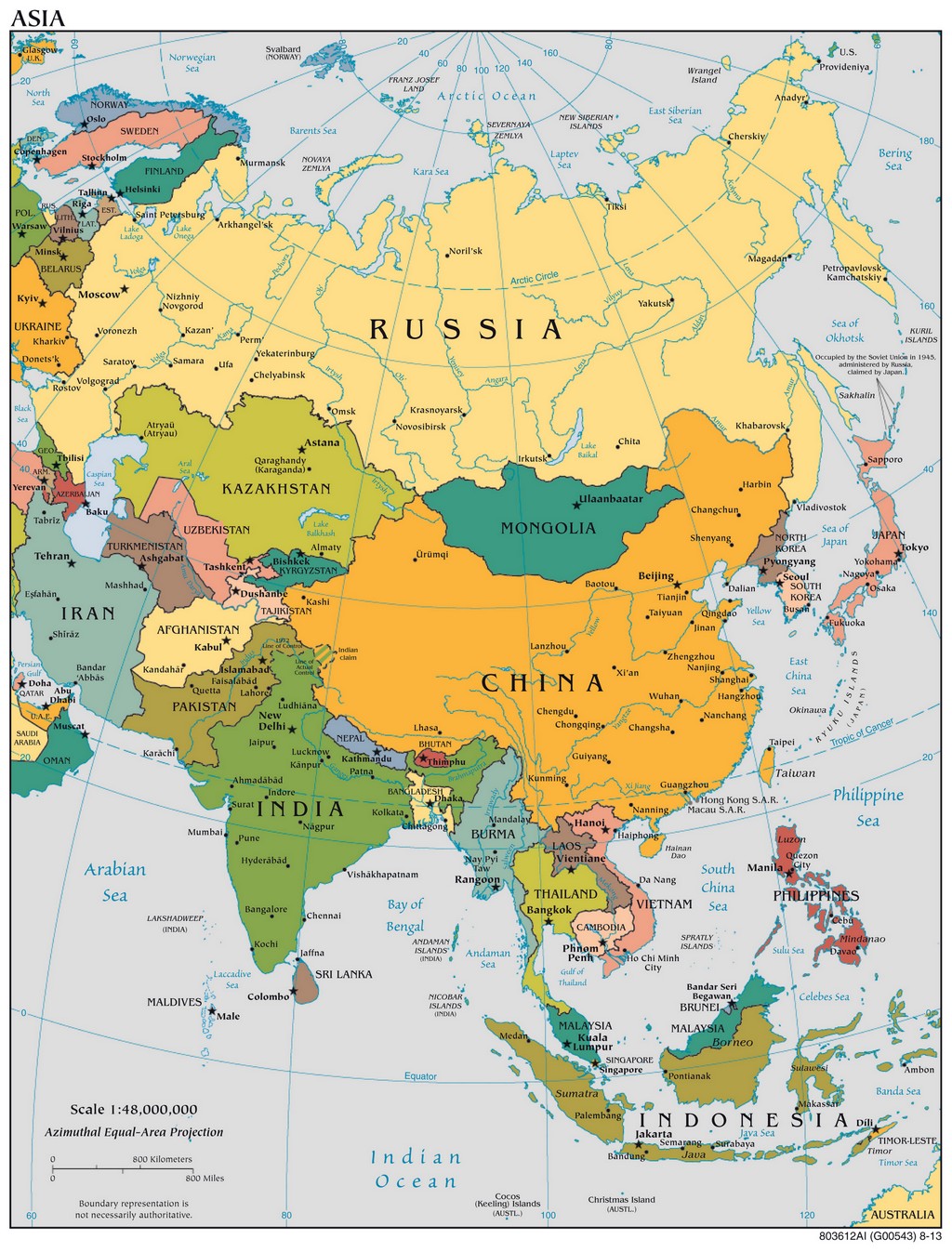
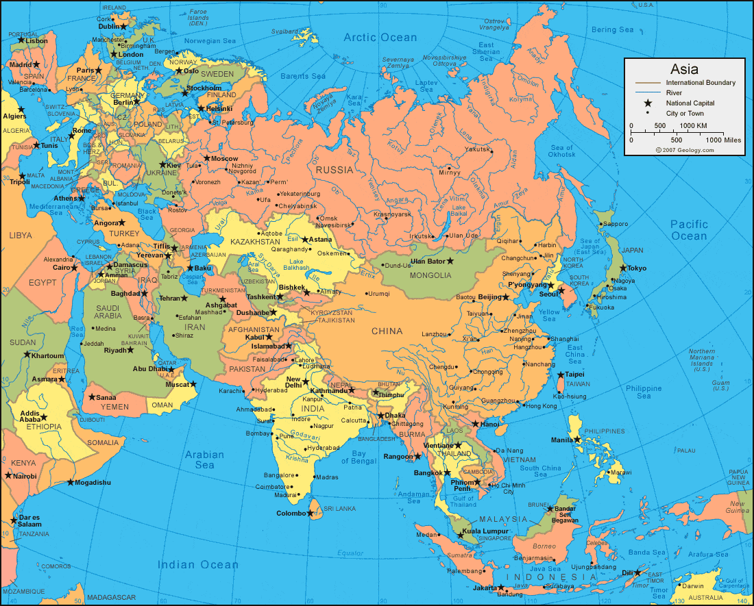
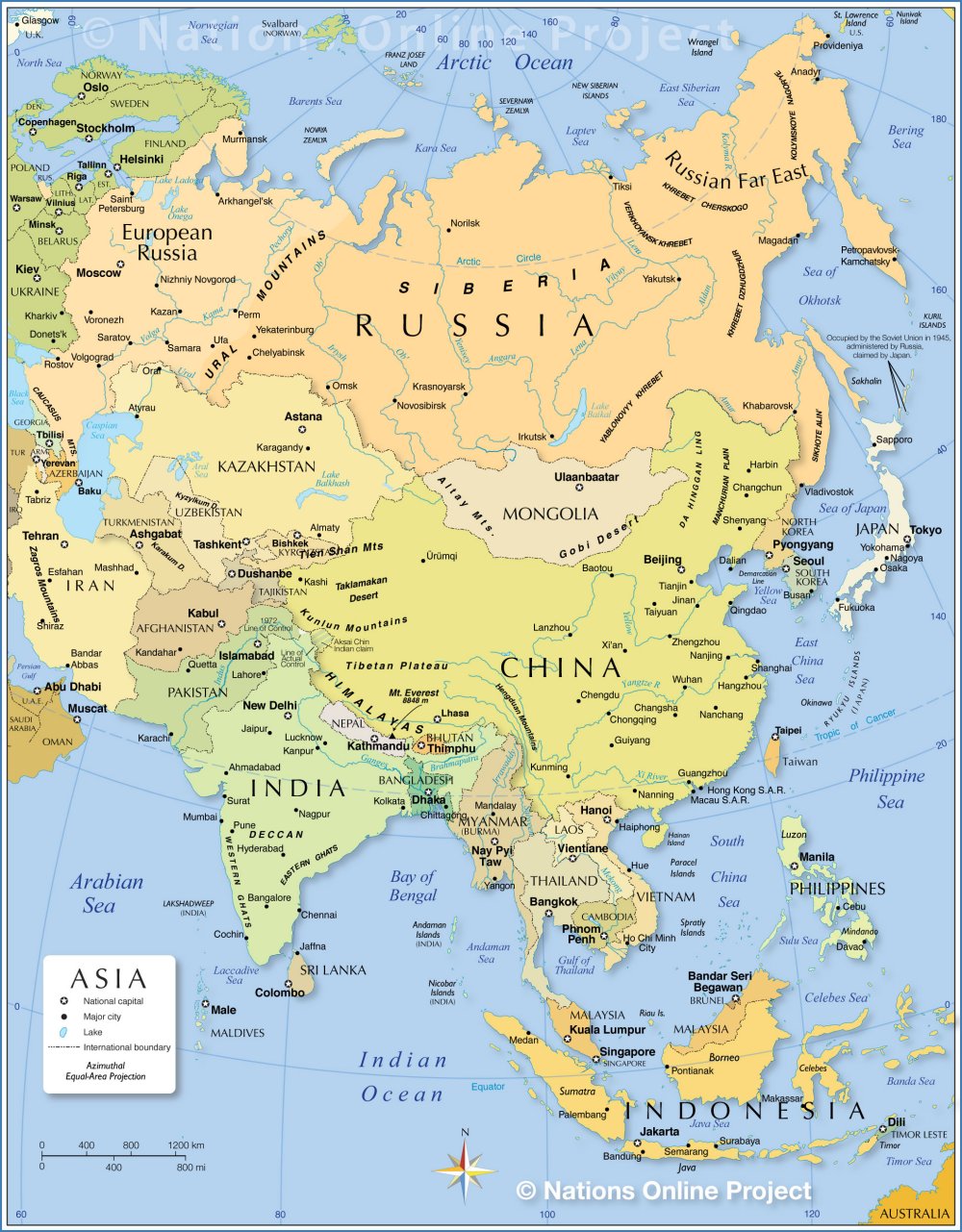
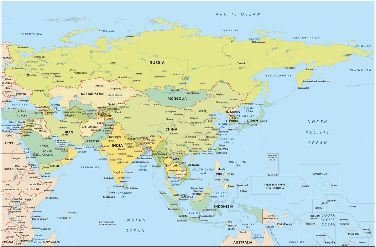
Collection of High-Quality Maps of Asian Countries
Below is a collection of administrative map image files showing Asian countries
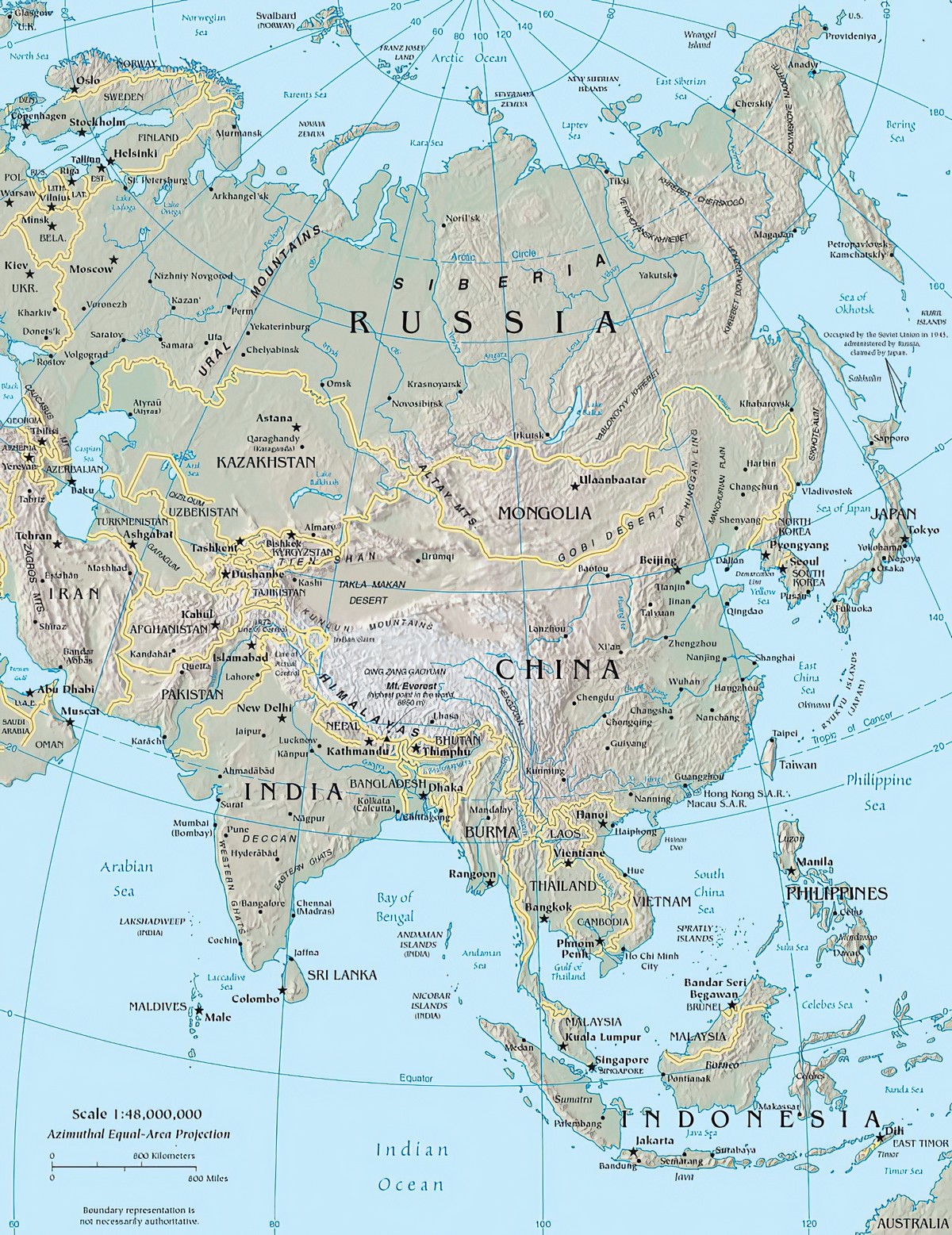
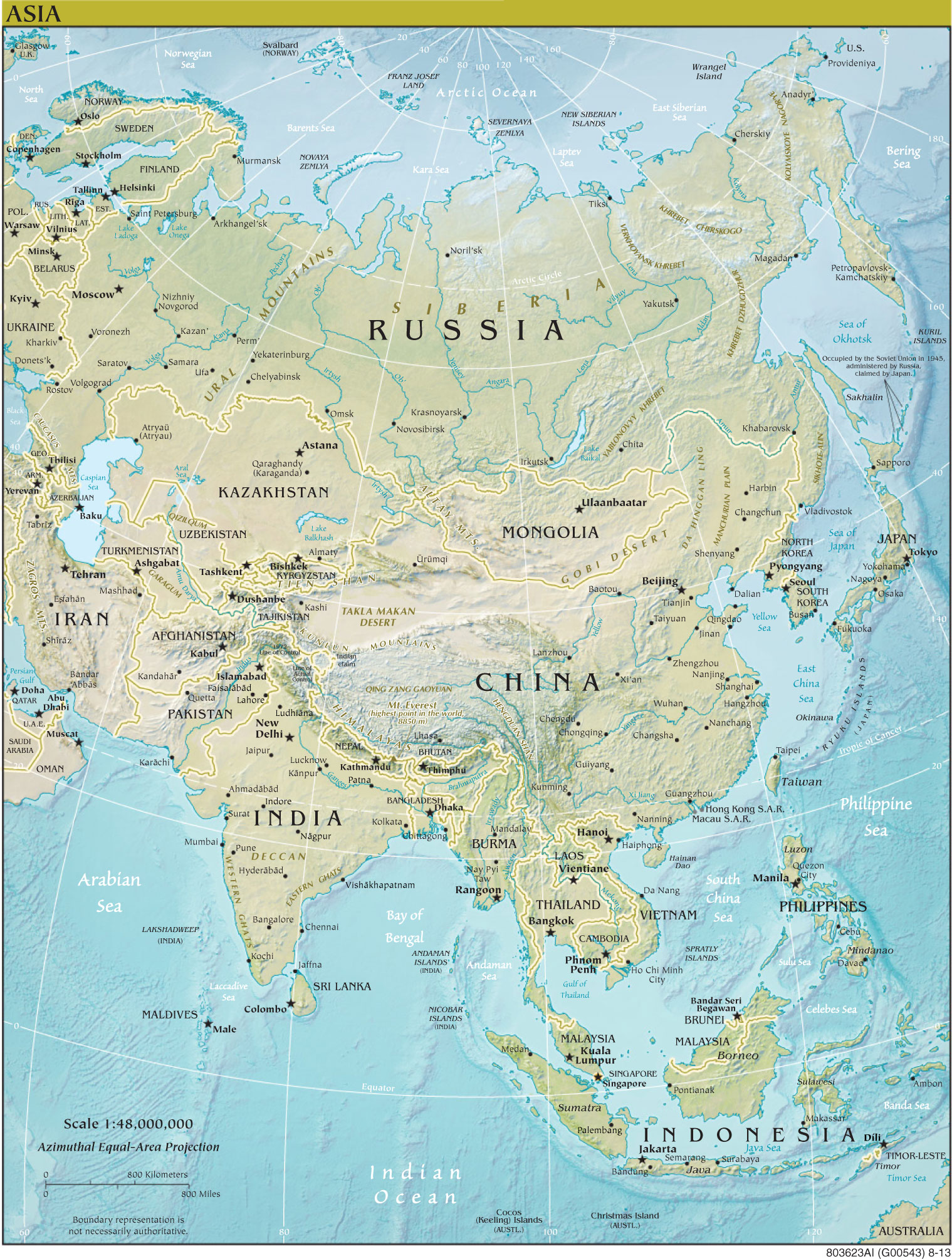
Physical Map
The physical map helps you better visualize the terrain of Asia. With the physical map, you can easily distinguish plains from mountain ranges. This map also displays some major rivers for you to explore.
Looking at the physical map of Asia, you can easily see the massive Himalayan range, along with Mount Everest, the highest mountain in the world. Additionally, you can see the Ural Mountains, which separate Europe from Asia.
