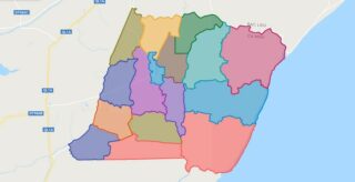
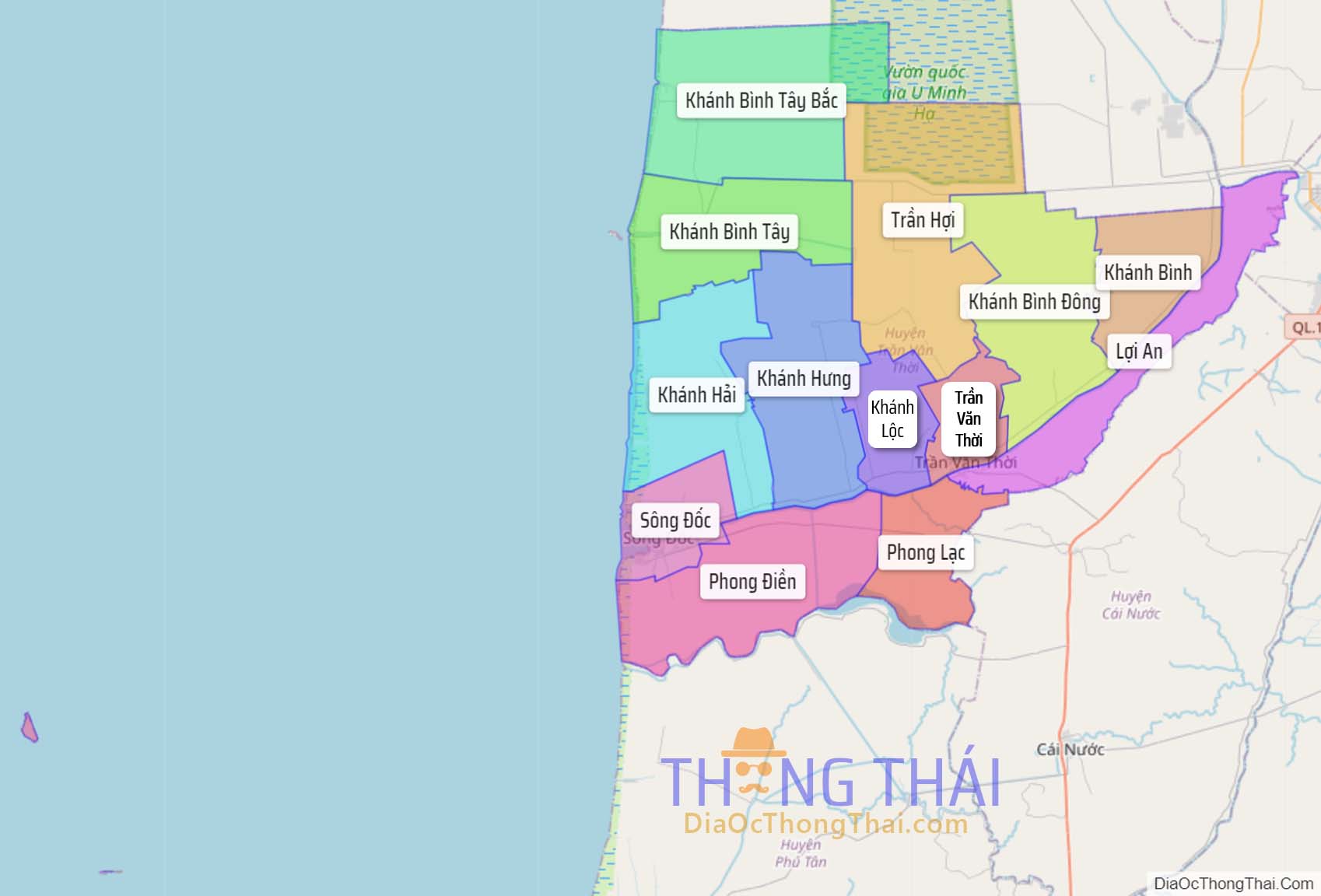
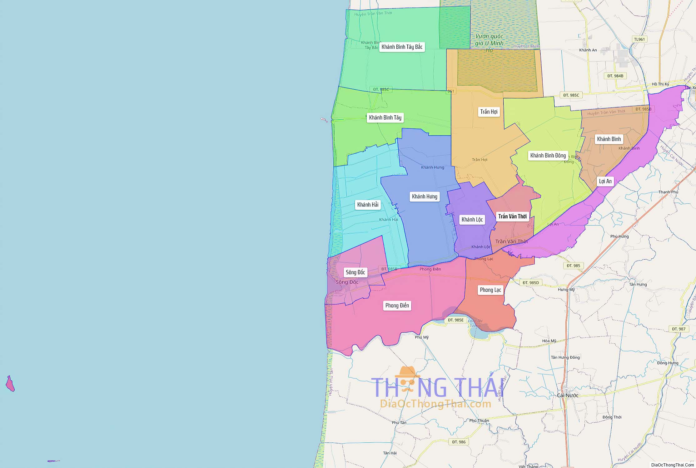
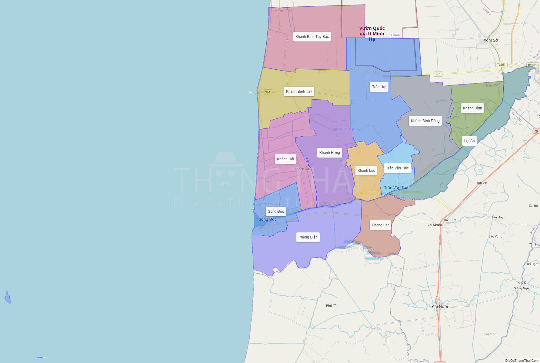
Political Map of Tran Van Thoi district – Ca Mau
Click on ![]() to view map in "full screen" mode.
to view map in "full screen" mode.
Base Map Layer: Open Street Map (OSM), Arcgisonline, Google Map, Wmflabs.
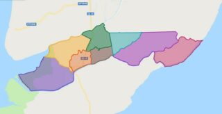
Large scale maps of Tran Van Thoi District
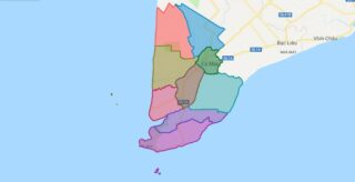
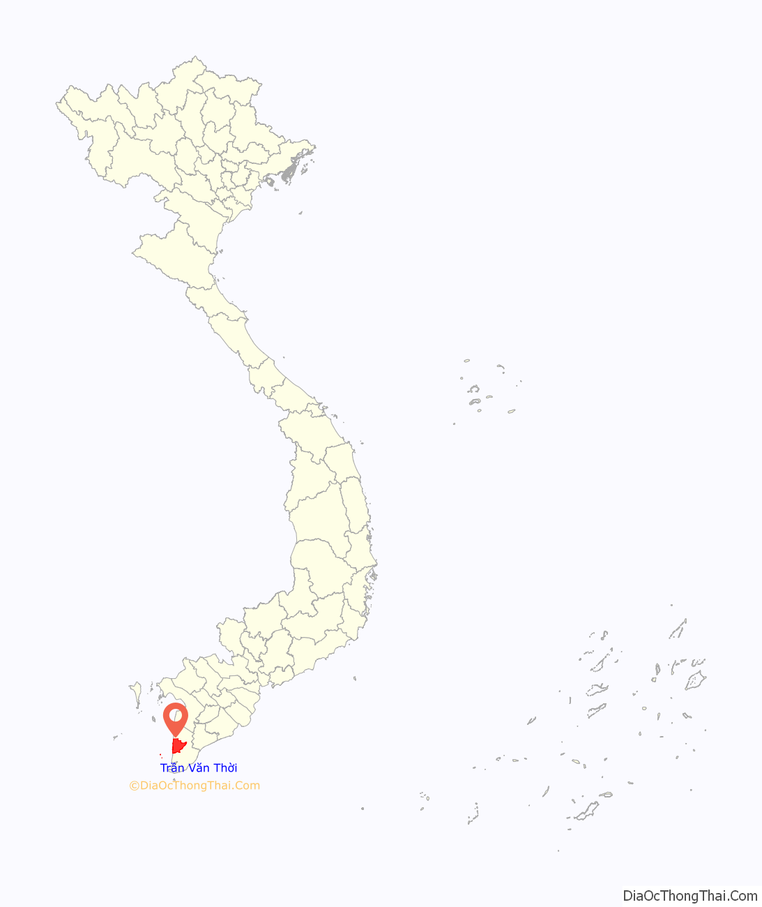
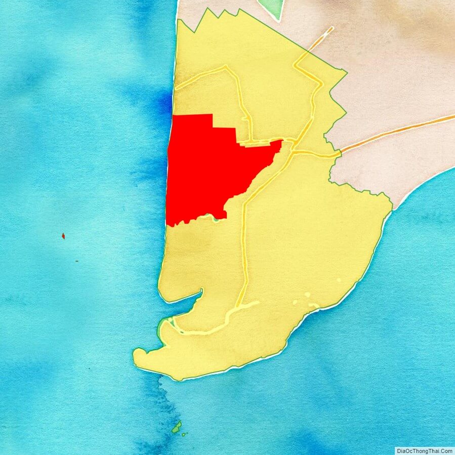
Tran Van Thoi location map
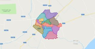
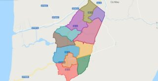
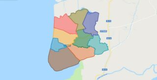
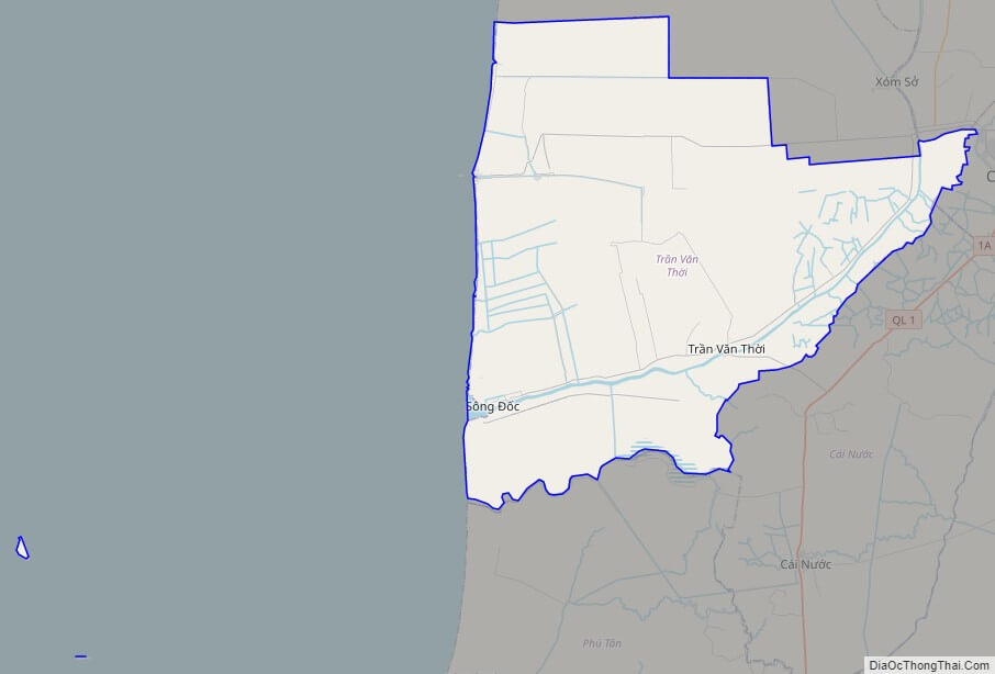
Tran Van Thoi street map
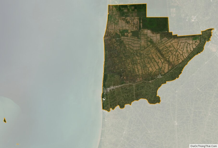
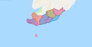
Tran Van Thoi satellite map