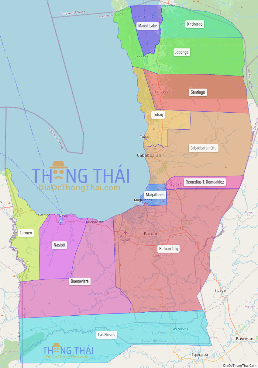
Agusan del Norte, officially the Province of Agusan del Norte (Cebuano: Amihanang Agusan; Butuanon: Probinsya hong Agusan del Norte; Tagalog: Hilagang Agusan), is a province in the Caraga region of the Philippines. Its de jure capital is the city of Cabadbaran with several government offices located in the highly-urbanized city of Butuan, which is the largest city and its de facto capital as well as the regional center of Caraga Region. It is bordered on the northwest by Butuan Bay; northeast by Surigao del Norte; mid-east by Surigao del Sur; southeast by Agusan del Sur, and southwest by Misamis Oriental.
| Type: | Province |
|---|---|
| Capital: | Cabadbaran |
| Area: | 2,730.24 km (1,054.15 sq mi) |
| Area Rank: | 48th out of 81 |
| Population: | 387,503 |
| Population Rank: | 64th out of 81 |
| Density: | 0.70% |
| ZIP code: | 8600–8611 |
| ISO 3166 code: | PH-AGN |
| Website: | www.agusandelnorte.gov.ph |
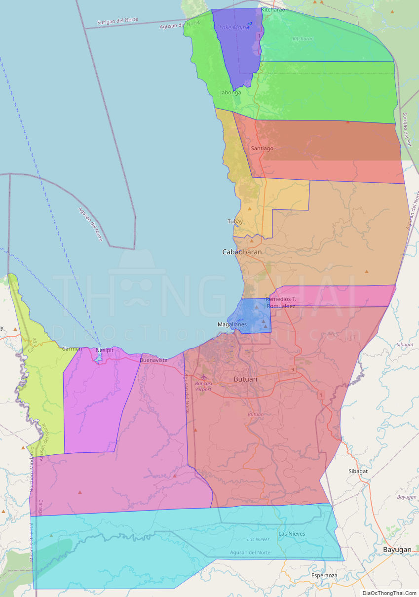
Online Interactive Map
Explore the interactive online map of Agusan del Norte, which highlights the administrative boundaries with each sub-administrative unit distinctly colored for easy identification. Just click on the map, and the name of the sub-unit will display, providing an intuitive and engaging way to navigate the area. Users can also view the map in full screen and switch between different map views, including OpenStreetMap, Google Maps, and satellite imagery.
Click on ![]() to view map in "full screen" mode.
to view map in "full screen" mode.
Agusan del Norte Political Map
Map of Agusan del Norte Province, Philippines the administrative divisions, provincial boundaries, along with detailed depictions of streets, roads, rivers, landmarks, and other geographical features.