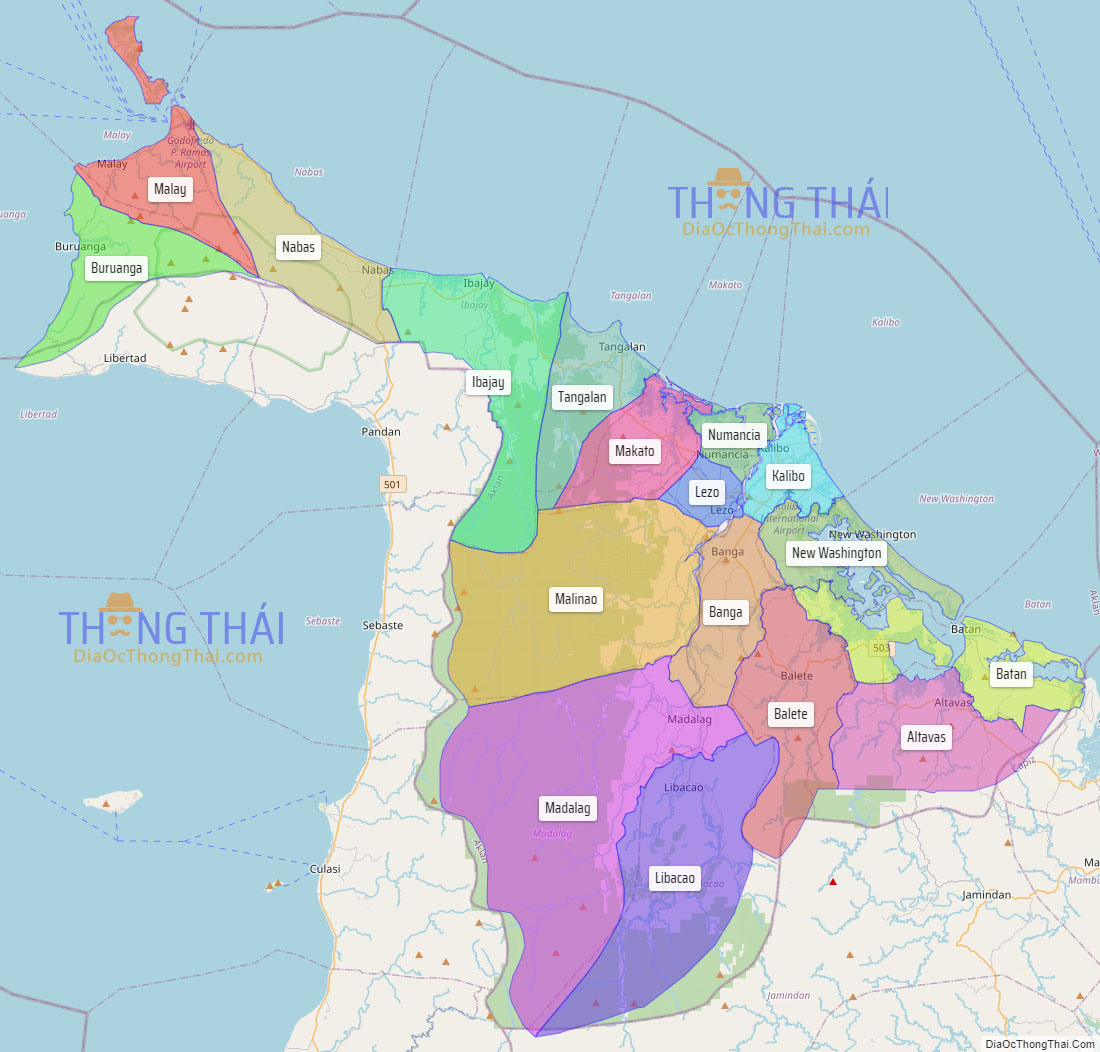
Aklan, officially the Province of Aklan (Akeanon: Probinsya it Akean [ak’ɤan]; Hiligaynon: Kapuoran sang Aklan; Tagalog: Lalawigan ng Aklan), is a province in the Western Visayas region of the Philippines. Its capital and largest town is Kalibo. The province is situated in the northwest portion of Panay Island, bordering Antique to the southwest, and Capiz to the southeast. Aklan faces the Sibuyan Sea and Romblon province to the north.
Aklan is most well-known for Boracay, a resort island 0.8 kilometer north of the tip of Panay. It is known for its white sand beaches and is considered one of the more prominent destinations in the country. The Ati-Atihan Festival of Kalibo has also been known worldwide, hence declared “The Mother of all Philippine Festivals.” It is an annual celebration held on the third Sunday of January to honor the Santo Niño (Infant Jesus). The festival showcases tribal dancing through the town’s main streets to the tune of ethnic music, with participants in indigenous costumes and gear.
| Type: | Province |
|---|---|
| Capital: | Kalibo |
| Area: | 1,821.42 km (703.25 sq mi) |
| Area Rank: | 64th out of 81 |
| Population: | 615,475 |
| Population Rank: | 51st out of 81 |
| Density: | 0.56% |
| ZIP code: | 5600–5616 |
| ISO 3166 code: | PH-AKL |
| Website: | aklan.gov.ph |
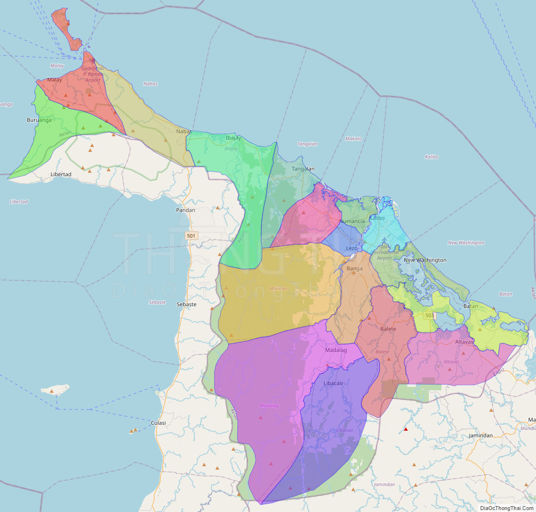
Online Interactive Map
Explore the interactive online map of Aklan, which highlights the administrative boundaries with each sub-administrative unit distinctly colored for easy identification. Just click on the map, and the name of the sub-unit will display, providing an intuitive and engaging way to navigate the area. Users can also view the map in full screen and switch between different map views, including OpenStreetMap, Google Maps, and satellite imagery.
Click on ![]() to view map in "full screen" mode.
to view map in "full screen" mode.
Aklan Political Map
Map of Aklan Province, Philippines the administrative divisions, provincial boundaries, along with detailed depictions of streets, roads, rivers, landmarks, and other geographical features.