Albay (IPA: [ɐlˈbaɪ]), officially the Province of Albay (Central Bikol: Probinsya kan Albay; Tagalog: Lalawigan ng Albay), is a province in the Bicol Region of the Philippines, mostly on the southeastern part of the island of Luzon. Its capital (and largest city) is the city of Legazpi, the regional center of the whole Bicol Region, which is located in the southern foothill of Mayon Volcano.
The province was added to the UNESCO World Network of Biosphere Reserves in March 2016.
| Type: | Province |
|---|---|
| Capital: | Legazpi |
| Area: | 2,575.77 km (994.51 sq mi) |
| Area Rank: | 52nd out of 82 |
| Population: | 1,374,768 |
| Population Rank: | 21st out of 81 |
| Density: | 1.26% |
| ZIP code: | 4500–4517 |
| ISO 3166 code: | PH-ALB |
| Website: | albay.gov.ph |
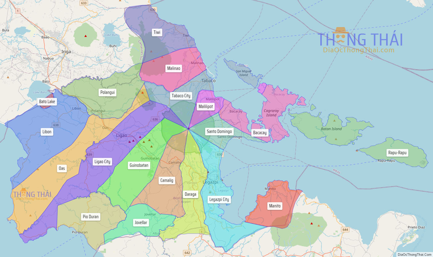
Online Interactive Map
Explore the interactive online map of Albay, which highlights the administrative boundaries with each sub-administrative unit distinctly colored for easy identification. Just click on the map, and the name of the sub-unit will display, providing an intuitive and engaging way to navigate the area. Users can also view the map in full screen and switch between different map views, including OpenStreetMap, Google Maps, and satellite imagery.
Click on ![]() to view map in "full screen" mode.
to view map in "full screen" mode.
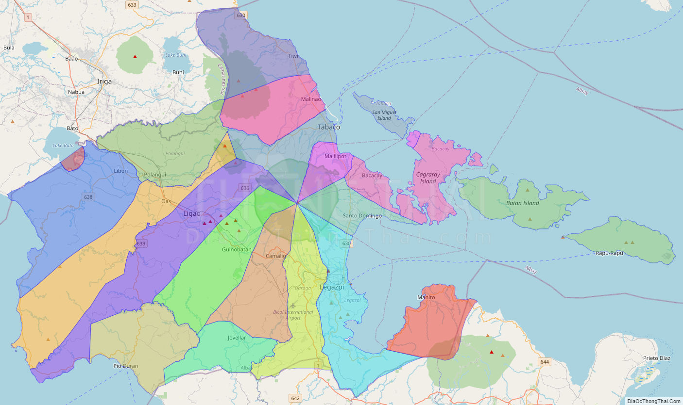
Albay Political Map
Map of Albay Province, Philippines the administrative divisions, provincial boundaries, along with detailed depictions of streets, roads, rivers, landmarks, and other geographical features.