Map of An Giang province

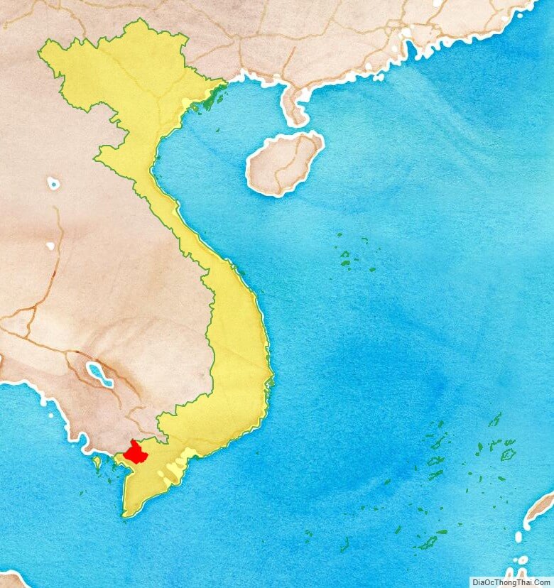
An Giang is a province of Vietnam. It is located in the Mekong Delta, in the southwestern part of the country, sharing a border with Cambodia to the northwest.

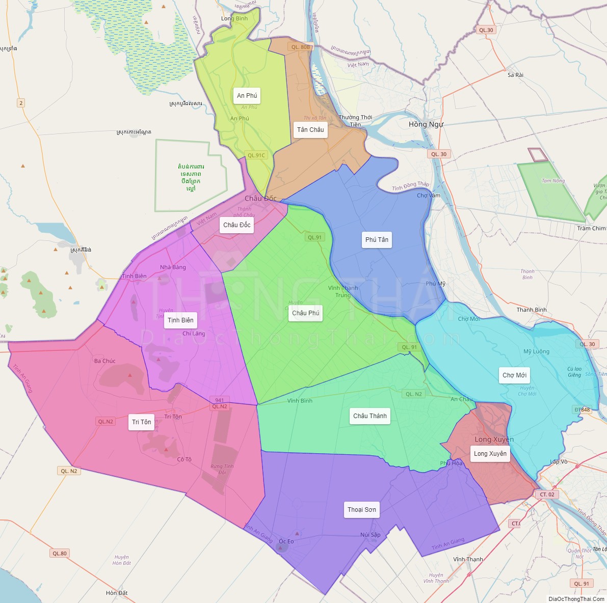
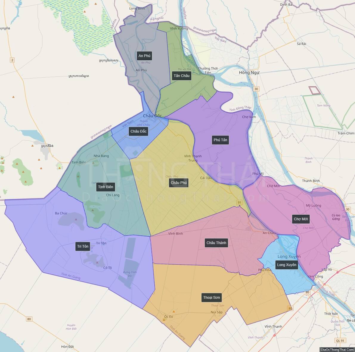
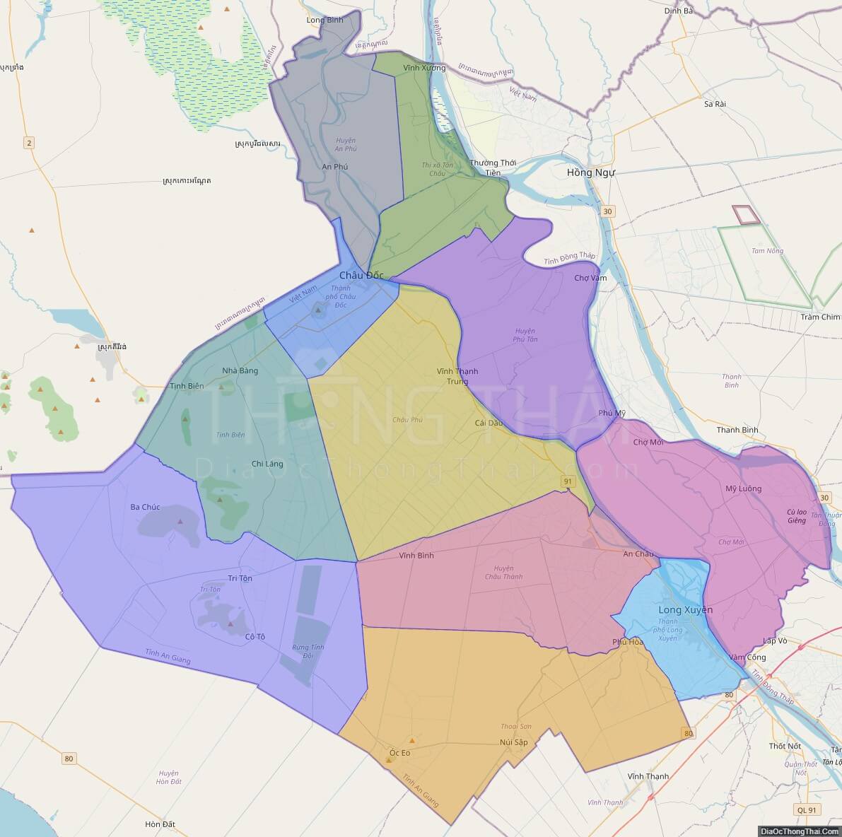
Political Map of An Giang province

Interactive online map of An Giang

Click on View map in full screen to view map in “full screen” mode.

Source: Database of Global Administrative Areas, Global Map of Vietnam ©ISCGM, Ministry of Nutural Resources and Environment -Vietnam.
Base Map Layer: Open Street Map (OSM), Arcgisonline, Google Map, Wmflabs.
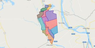
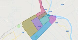
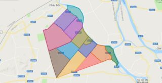
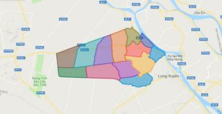
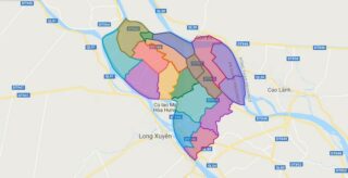
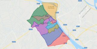
Large scale maps of An Giang

High-resolution political map of An Giang
High-resolution political map of An Giang. ©DiaOcThongThai. Click on picture to zoom in.

An Giang location map

An Giang province location map
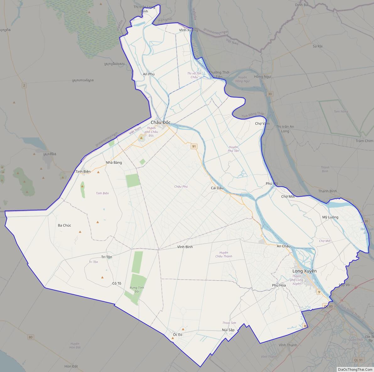
An Giang street map

An Giang street map
Street Map of An Giang province, Vietnam

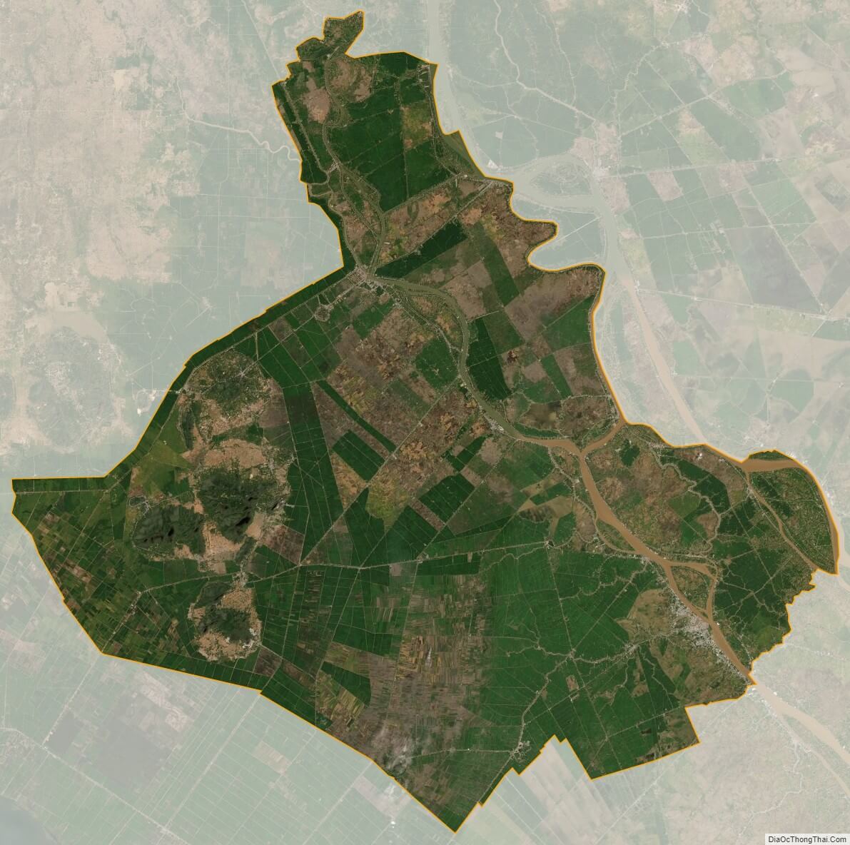
An Giang satellite map

An Giang province satellite map
Satellite map of An Giang province, Vietnam

See also

See also map of An Giang province and district-level sub-divisions: Map of Vietnam provinces:
5/5 - (4 votes)