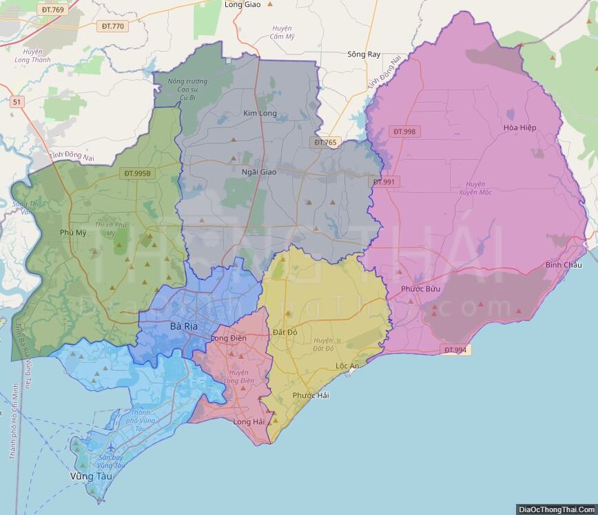
Ba Ria-Vung Tau (Hanoi accent:, Saigon accent: ) is a province of Vietnam. It is located on the coast of the country’s Southeast region. It also includes the Con Dao islands, located some distance off Vietnam’s southeastern coast. From 1954 to 1975, this province belonged to South Vietnam with the name Phuoc Tuy.
With the exception of the Con Dao islands, all of Ba Ria-Vung Tau Province was once a part of Dong Nai Province to the north. In 1979, Vung Tau was broken away from Dong Nai and merged with the Con Dao islands (formerly part of Hau Giang Province), forming the new Vung Tau-Con Dao “special zone”. Later, in 1992, Ba Ria broke away from Dong Nai Province, merging with Vung Tau-Con Dao to form the modern province of Ba Ria-Vung Tau.
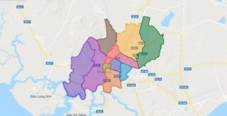
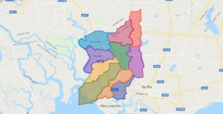
Political Map of Ba Ria – Vung Tau province
Click on ![]() to view map in "full screen" mode.
to view map in "full screen" mode.
Base Map Layer: Open Street Map (OSM), Arcgisonline, Google Map, Wmflabs.
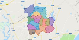
Large scale maps of Ba Ria – Vung Tau province
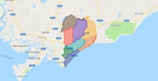
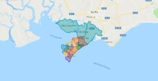
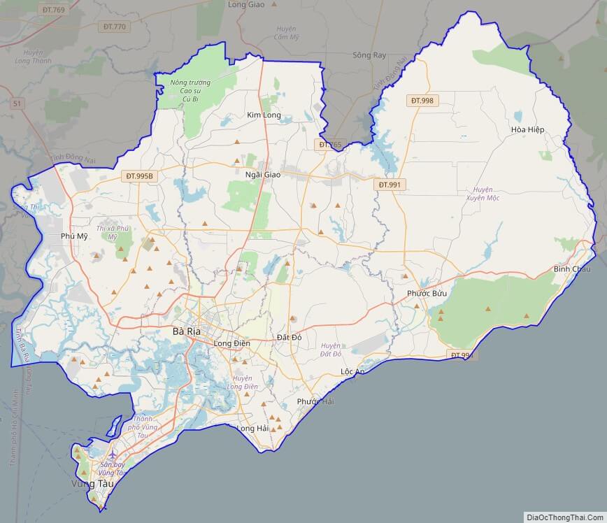
Ba Ria – Vung Tau province location map

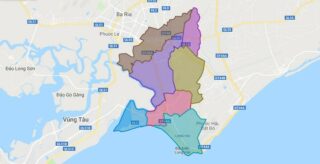
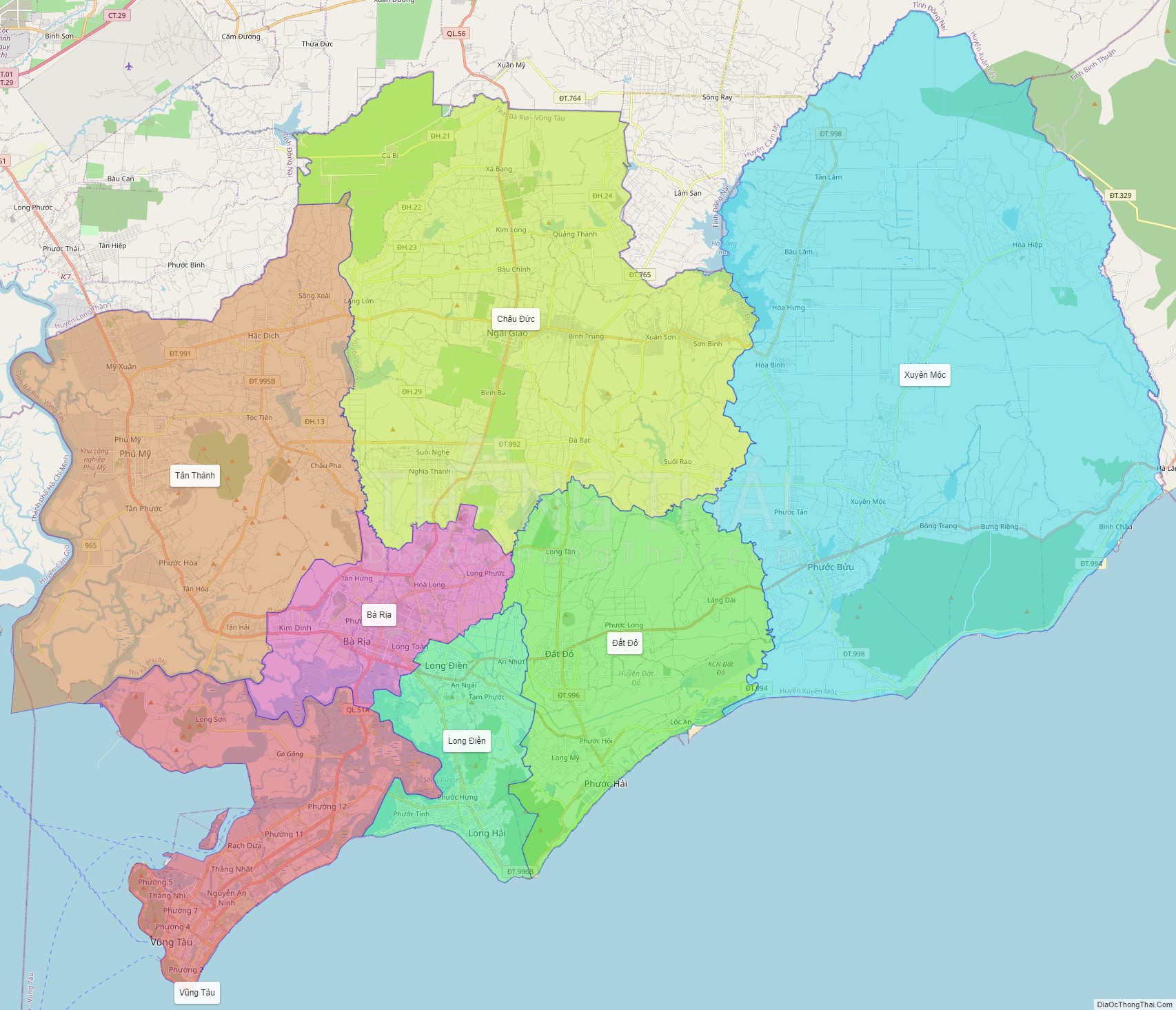
Ba Ria – Vung Tau street map
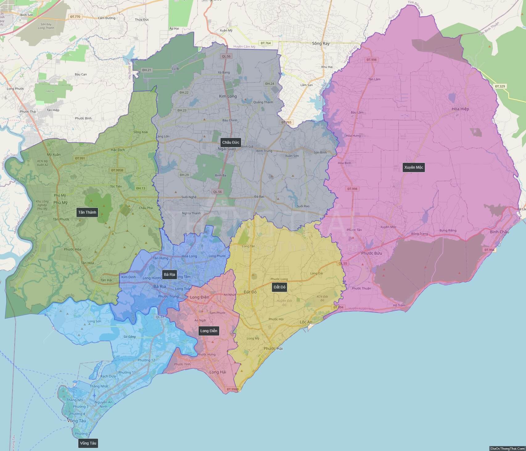
Ba Ria – Vung Tau satellite map