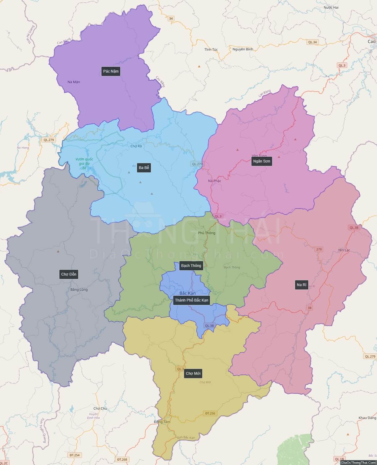
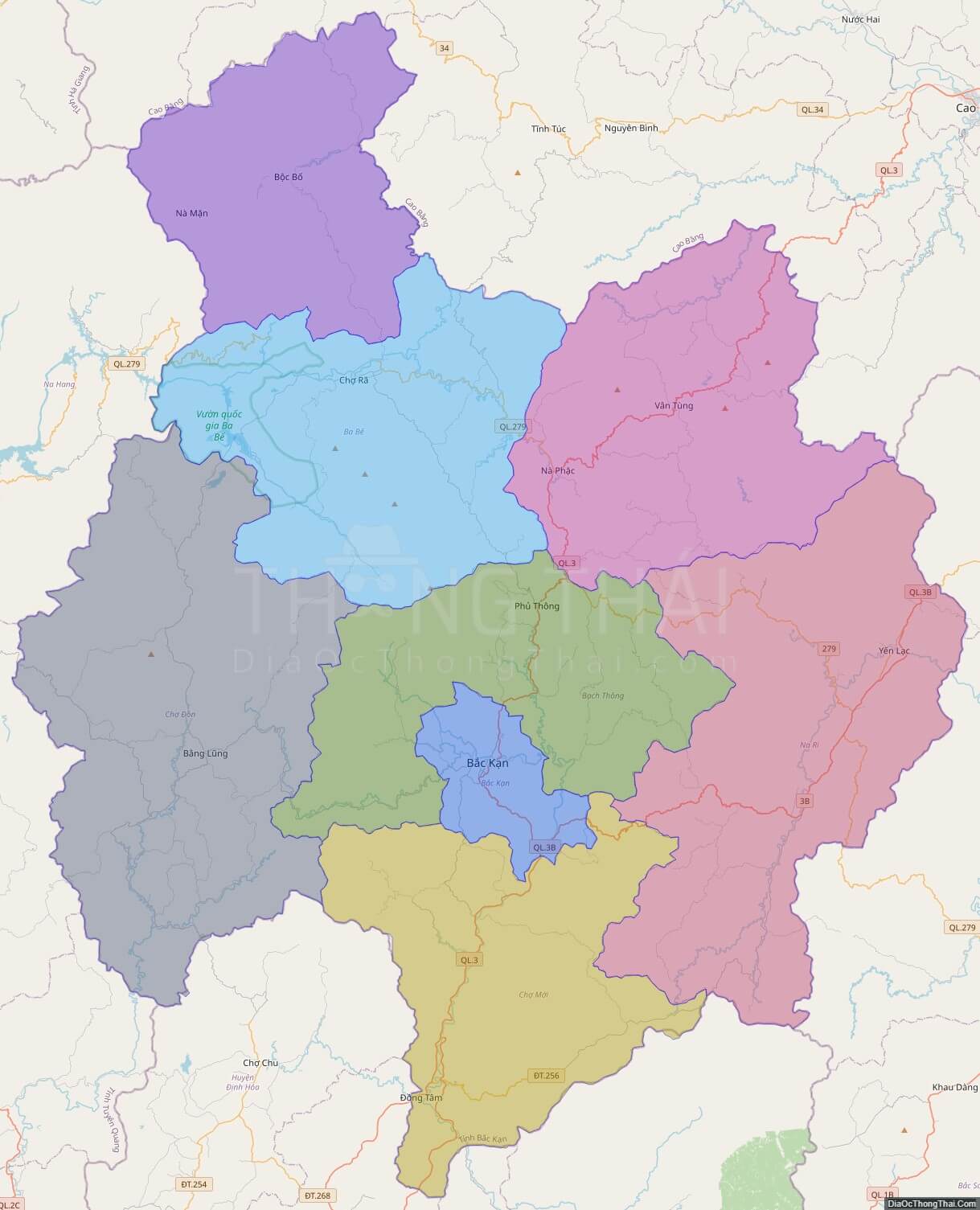
Bac Kan, also spelt as Bac Can, is a province of Vietnam. It is located in the northeastern part of the country, due north of the capital Hanoi. Bac Kan is the only town of the province which is the capital of the province and is a municipality. The province covers an area of 4859.4 square kilometres and as of 2008 it had a population of 308,900 people. It is a mountainous terrain with rich natural resources of minerals and forests. It has numerous mountains, rivers and lakes which are very scenic. Ba Be National Park and Lake lie within its borders.
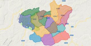
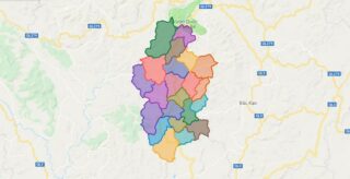
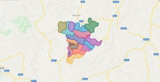
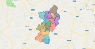
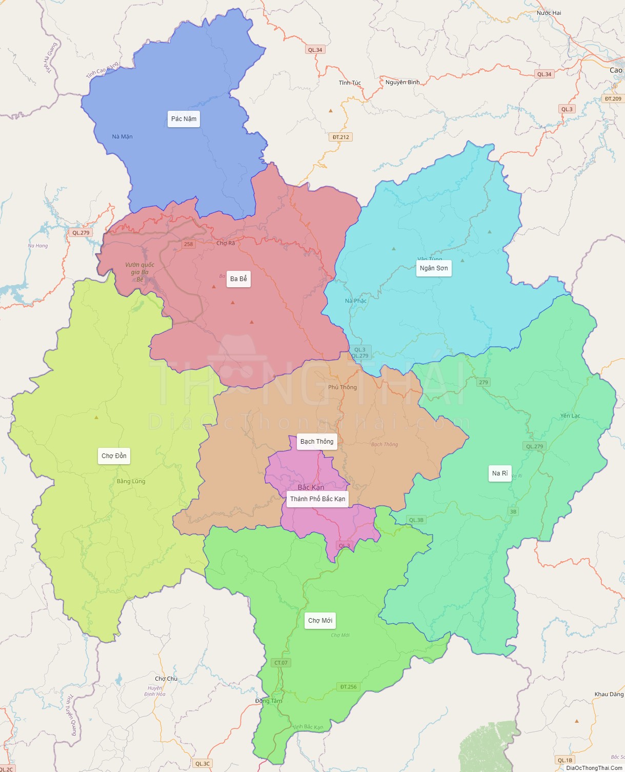
Political Map of Bac Kan province
Click on ![]() to view map in "full screen" mode.
to view map in "full screen" mode.
Base Map Layer: Open Street Map (OSM), Arcgisonline, Google Map, Wmflabs.
Large scale maps of Bac Kan province
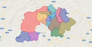
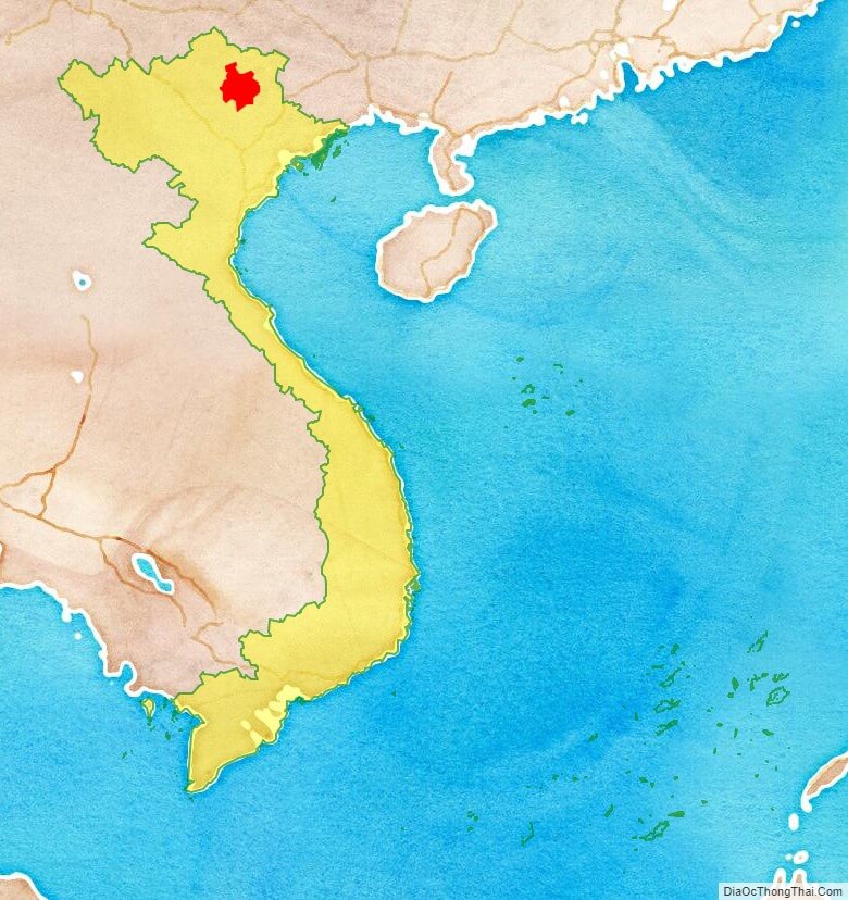
Bac Kan province location map
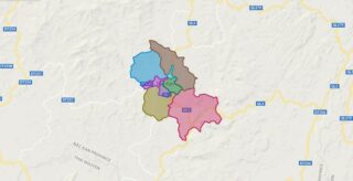
Bac Kan street map
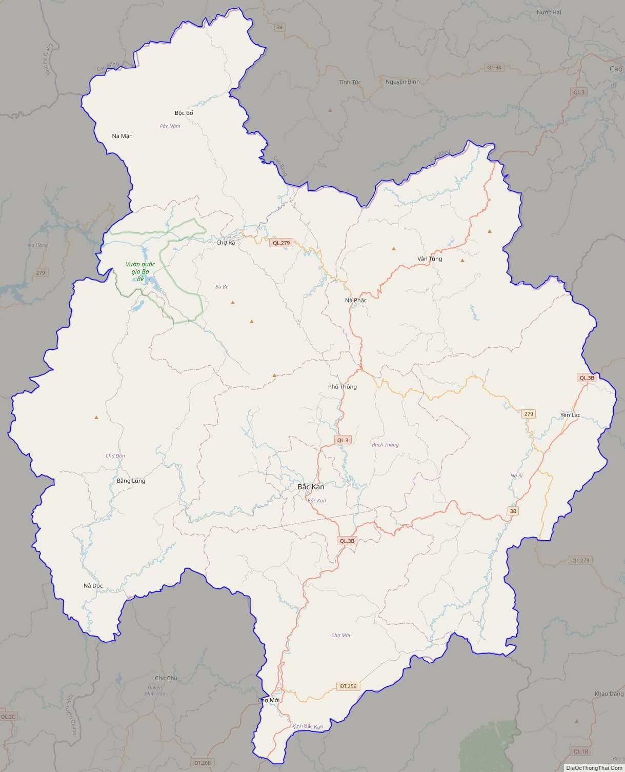
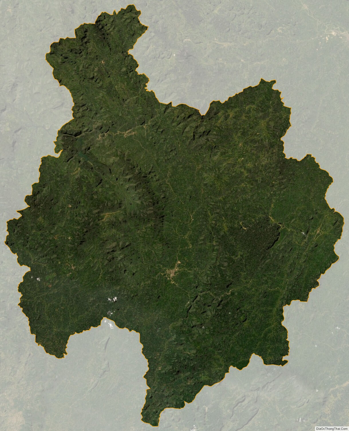
Bac Kan satellite map