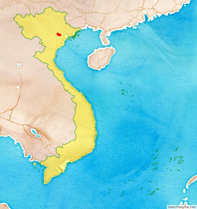
Bac Ninh is a province of Vietnam, located in the Red River Delta of the northern part of the country. It is situated to the east of the Vietnamese capital, Hanoi, and borders Bac Giang Province, Hung Yen Province, Hai Duong Province, Vinh Phuc Province, and Hanoi.The province’s name derives from Sino-Vietnamese , literally “northern serenity”.
The province is rich in culture and is known nationally for Quan ho folk music. Quan ho is recognised as the Intangible Cultural Heritage by the UNESCO in 2009.
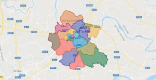
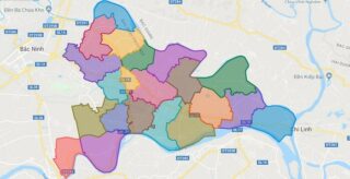
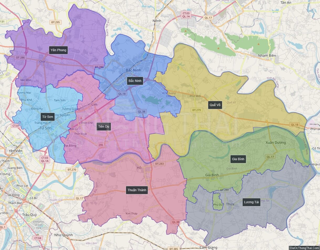
Political Map of Bac Ninh province
Click on ![]() to view map in "full screen" mode.
to view map in "full screen" mode.
Base Map Layer: Open Street Map (OSM), Arcgisonline, Google Map, Wmflabs.
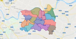
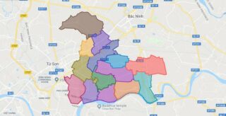
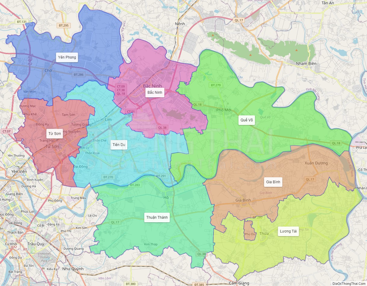
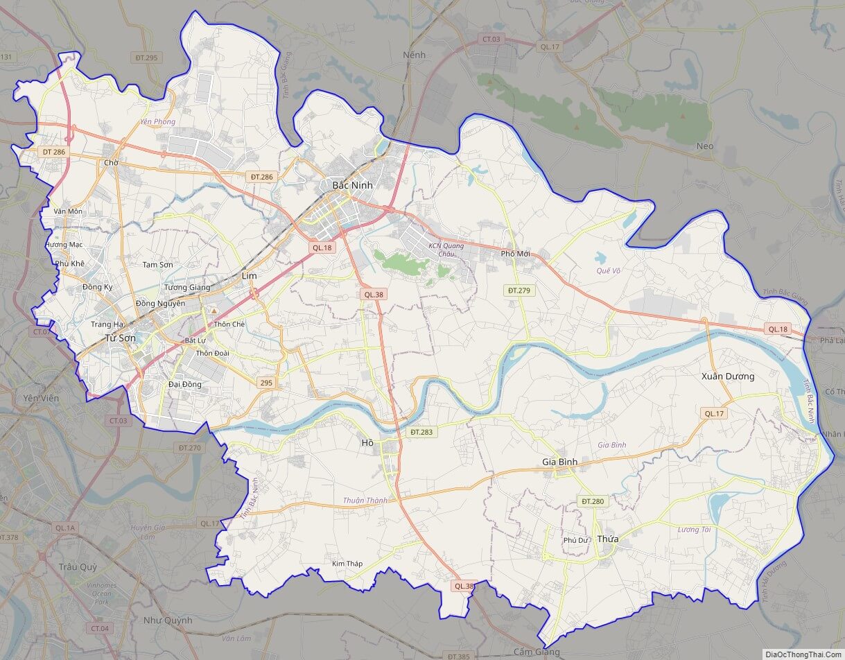
Large scale maps of Bac Ninh province

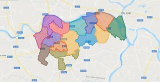
Bac Ninh province location map
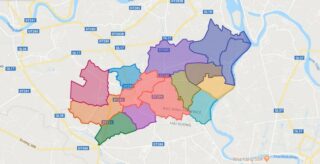
Bac Ninh street map
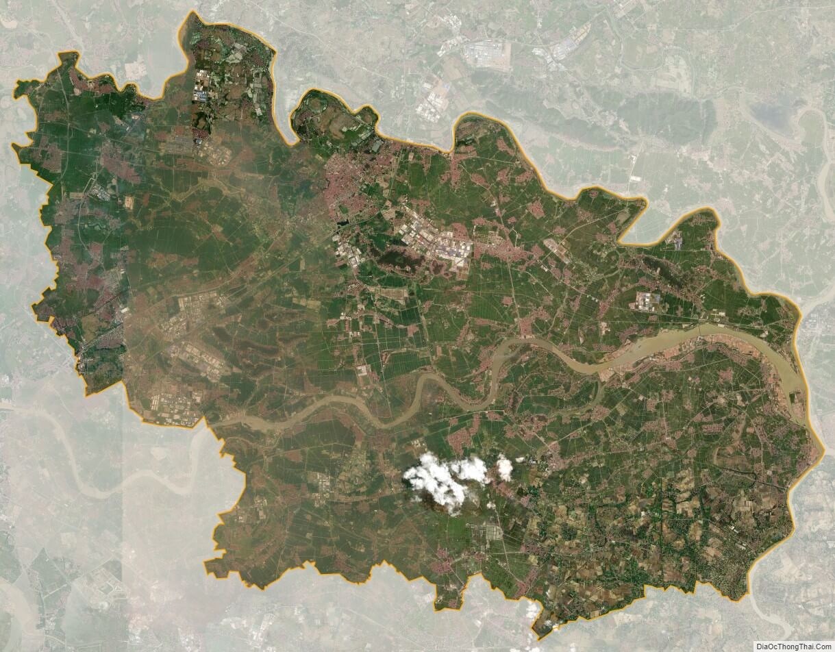
Bac Ninh satellite map