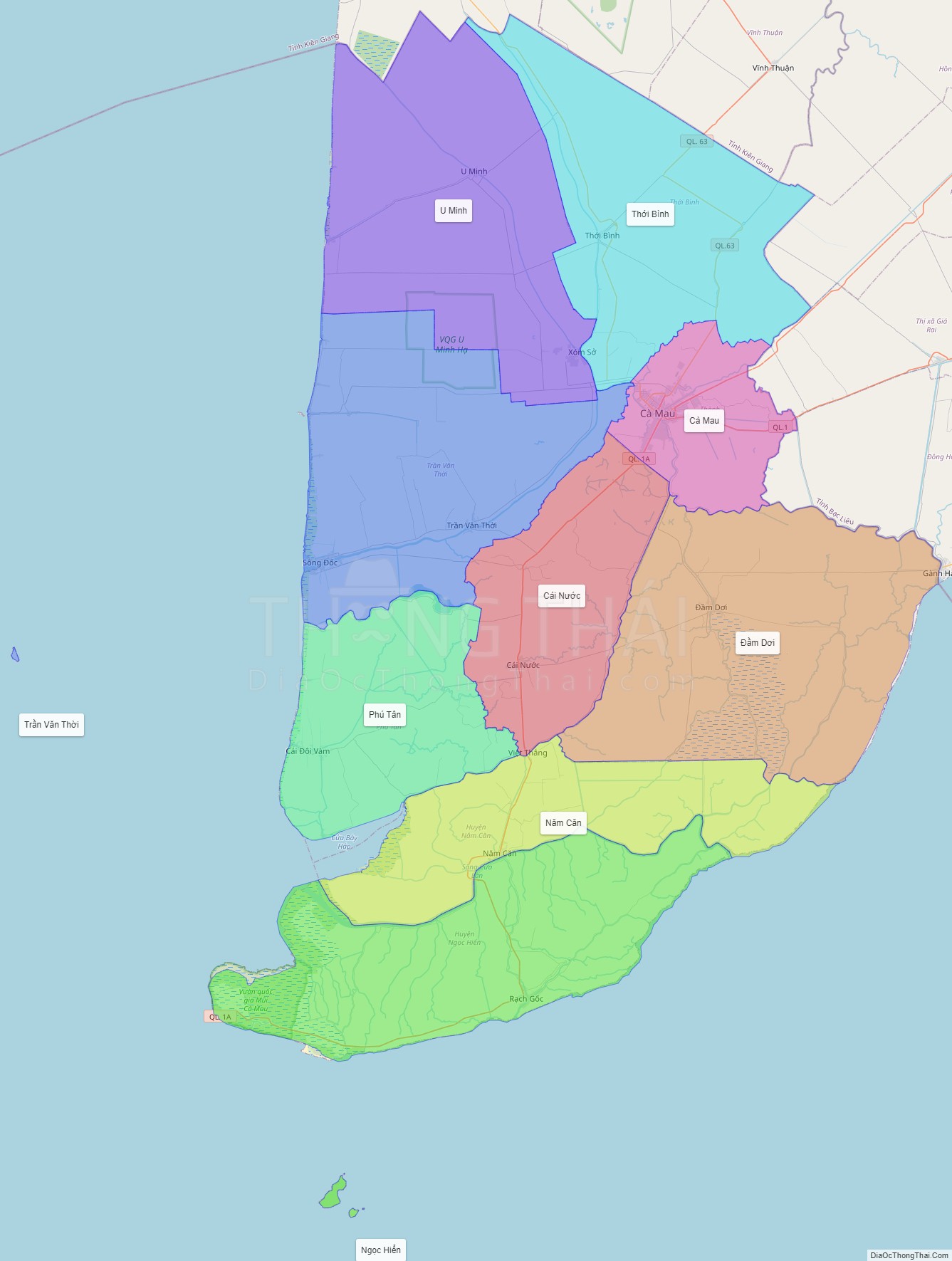
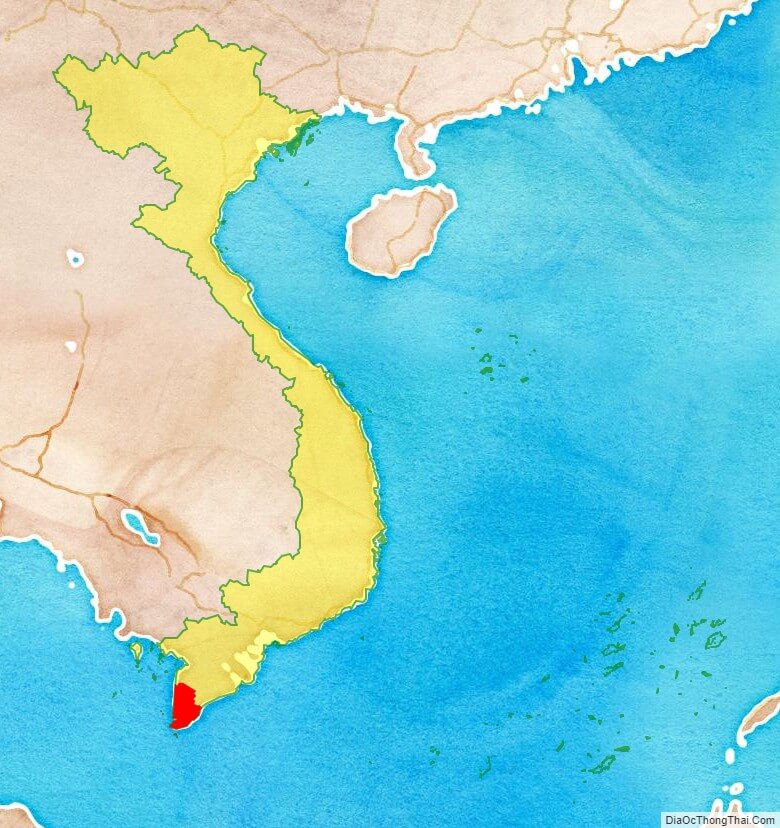
Ca Mau is a province of Vietnam, named after its capital city. It is located in the Mekong Delta of southern Vietnam, and is the southernmost of Vietnam’s 58 provinces. It is bordered on the north by the Kien Giang and Bac Lieu provinces, on the west by the Gulf of Thailand, and on the south and east by the East Sea.
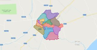
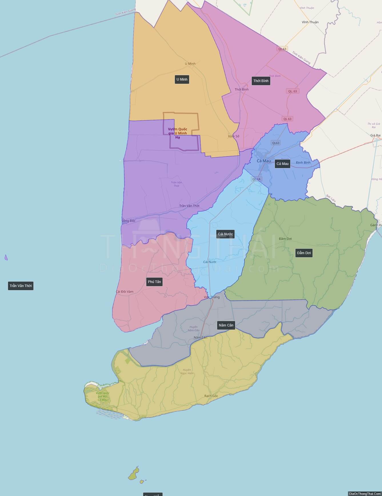
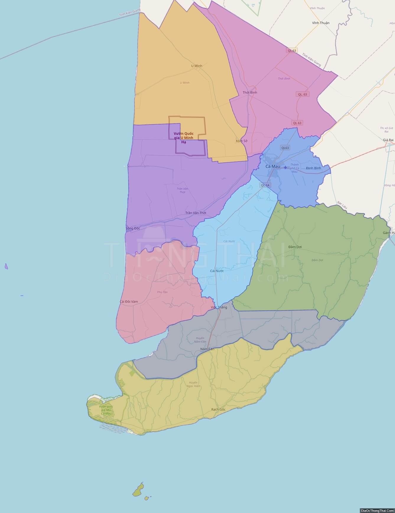
Political Map of Ca Mau province
Click on ![]() to view map in "full screen" mode.
to view map in "full screen" mode.
Base Map Layer: Open Street Map (OSM), Arcgisonline, Google Map, Wmflabs.
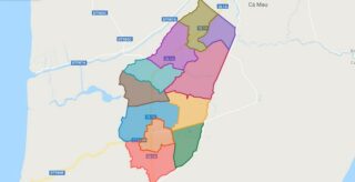
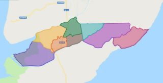
Large scale maps of Ca Mau province
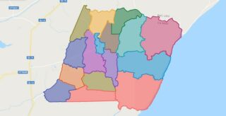
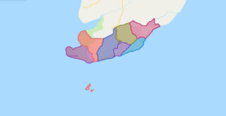
Ca Mau province location map
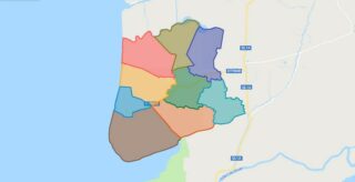
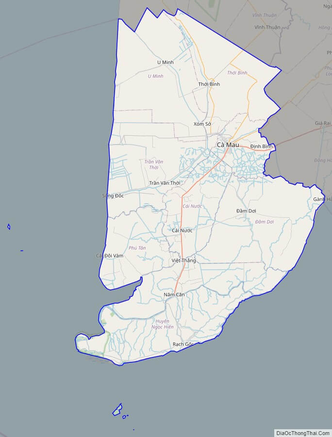
Ca Mau street map
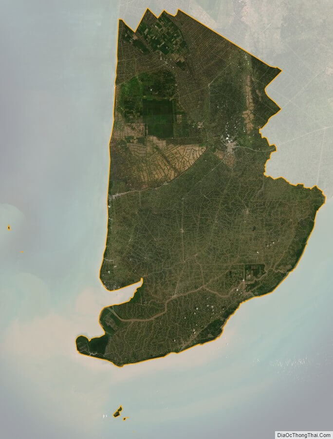
Ca Mau satellite map