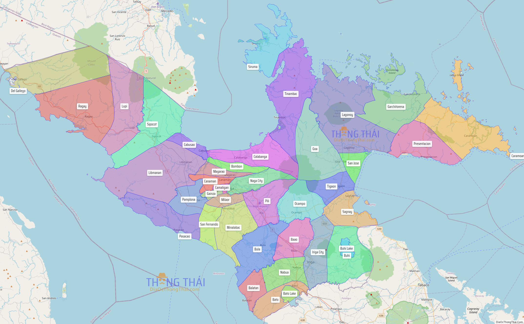
Camarines Sur (Central Bikol: Habagatan na Camarines; Tagalog: Timog Camarines), officially the Province of Camarines Sur (Bikol: Probinsya kan Habagatan na Camarines (Camarines Sur); Tagalog: Lalawigan ng Timog Camarines (Camarines Sur)), is a province in the Philippines located in the Bicol Region on Luzon. Its capital is Pili and the province borders Camarines Norte and Quezon to the northwest, and Albay to the south. To the east lies the island province of Catanduanes across the Maqueda Channel.
Camarines Sur is the largest among the six provinces in the Bicol Region both by population and land area. Its territory includes two cities: Naga, the most-populous, lone chartered and independent city, as the province’s religious, cultural, financial, commercial, industrial and business center; and Iriga, a component city, as the center of the Rinconada area and Riŋkonāda Language. Within the province lies Lake Buhi, where the smallest commercially harvested fish, the sinarapan (Mistichthys luzonensis), can be found. The province is also home to the critically endangered Isarog Agta language, one of the three critically endangered languages in the Philippines according to UNESCO.
| Type: | Province |
|---|---|
| Capital: | Pili |
| Area: | 5,497.03 km (2,122.42 sq mi) |
| Area Rank: | 16th out of 81 |
| Population: | 2,068,244 |
| Population Rank: | 11th out of 81 |
| Density: | 1.90% |
| ISO 3166 code: | PH-CAS |
| Website: | camarinessur.gov.ph |
Online Interactive Map
Explore the interactive online map of Camarines Sur, which highlights the administrative boundaries with each sub-administrative unit distinctly colored for easy identification. Just click on the map, and the name of the sub-unit will display, providing an intuitive and engaging way to navigate the area. Users can also view the map in full screen and switch between different map views, including OpenStreetMap, Google Maps, and satellite imagery.
Click on ![]() to view map in "full screen" mode.
to view map in "full screen" mode.
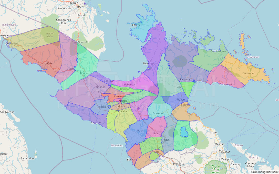
Camarines Sur Political Map
Map of Camarines Sur Province, Philippines the administrative divisions, provincial boundaries, along with detailed depictions of streets, roads, rivers, landmarks, and other geographical features.