Can Tho (Standard Vietnamese:, Southern accent: ) is the fourth largest city in Vietnam, and the largest city in the Mekong Delta.
It is noted for its floating market, rice paper-making village, and picturesque rural canals. It had a population of 1.2 million, it has population of 1,520,000 until June 2018, and is located on the south bank of the Hau River, a distributary of the Mekong River. In 2007, about 50 people died when the Can Tho Bridge collapsed, causing Vietnam’s worst engineering disaster. In 2011, Can Tho International Airport opened.
The city is nicknamed the “western capital” (Tay Do), and is located 169 km from Ho Chi Minh City.
The city is an independent municipality at the same level as provinces of Vietnam. It was created in the beginning of 2004 by a split of the former Can Tho Province into two new administrative units: Can Tho City and Hau Giang Province.
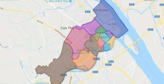
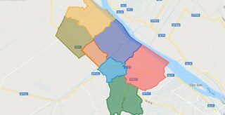
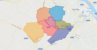
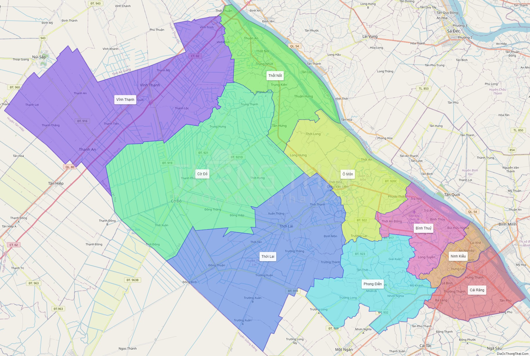
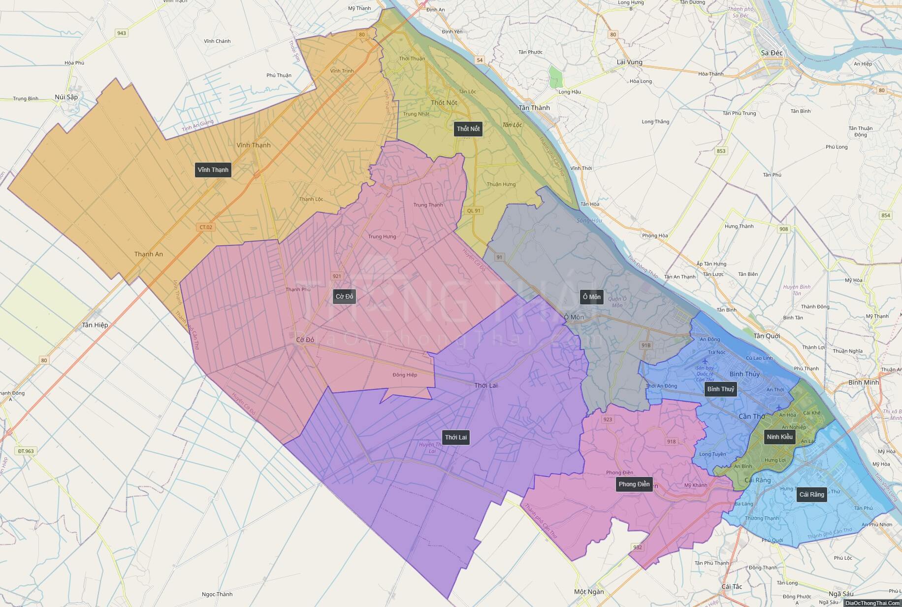
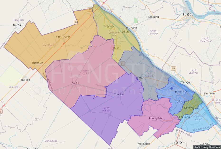
Can Tho is subdivided into nine district-level sub-divisions:
* 5 urban districts:
* Binh Thuy
* Cai Rang
* Ninh Kieu
* O Mon
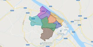
Political Map of Can Tho city
Click on ![]() to view map in "full screen" mode.
to view map in "full screen" mode.
Base Map Layer: Open Street Map (OSM), Arcgisonline, Google Map, Wmflabs.
Large scale maps of Can Tho city
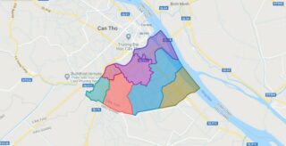
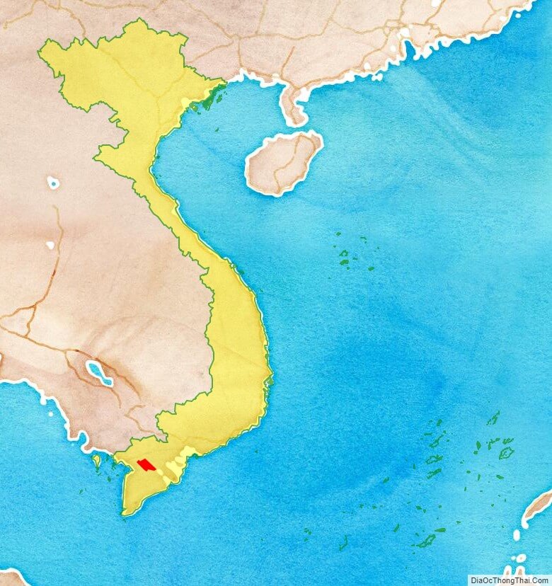
Can Tho city location map
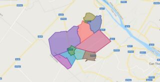
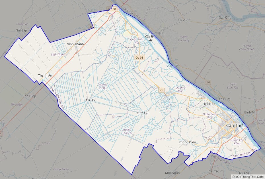
Can Tho city street map
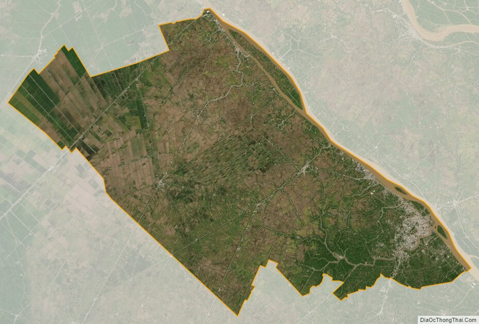
Can Tho city satellite map