Capiz ([kɑˈpiz]), officially the Province of Capiz (Capiznon/Hiligaynon: Kapuoran sang Capiz; Tagalog: Lalawigan ng Capiz), is a province in the Philippines located in the central section of Western Visayas region. Its capital is the city of Roxas, which is the most populous. It is located at the northeastern portion of Panay Island, bordering Aklan to the north, Antique to the west, and Iloilo to the south. Capiz faces the Sibuyan Sea to the north.
Capiz is known for the Placuna placenta oyster shell that has the same name locally and is used for decoration and making lampshades, trays, doors and capiz-shell windows. Likewise, the province is known as the “Seafood Capital of the Philippines” and was among the top 15 most frequently visited places in the Philippines. Capiz is the site of the famous coral-stone Santa Mónica Church in the town of Panay, home to the largest Catholic Church bell in Asia. The bell was made from 70 sacks of gold and silver coins donated by the townsfolk. Measuring seven feet in diameter, five feet in height and weighing 10,400 kilograms or just over 10 metric tons, the Panay bell is popular among tourists visiting Capiz.
| Type: | Province |
|---|---|
| Capital: | Roxas |
| Area: | 2,594.64 km (1,001.80 sq mi) |
| Area Rank: | 52nd out of 81 |
| Population: | 804,952 |
| Population Rank: | 38th out of 81 |
| Density: | 0.74% |
| ZIP code: | 5800–5816 |
| ISO 3166 code: | PH-CAP |
| Website: | capiz.gov.ph |
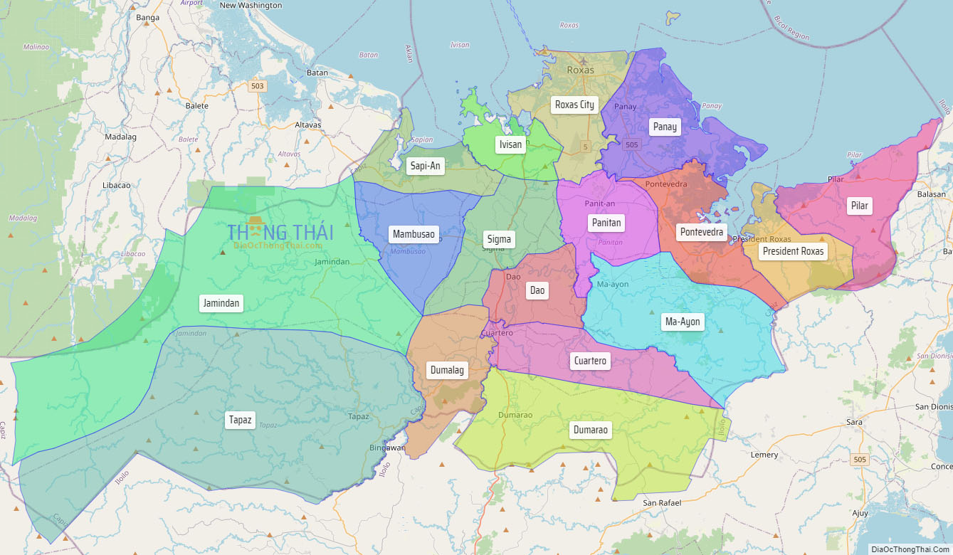
Online Interactive Map
Explore the interactive online map of Capiz, which highlights the administrative boundaries with each sub-administrative unit distinctly colored for easy identification. Just click on the map, and the name of the sub-unit will display, providing an intuitive and engaging way to navigate the area. Users can also view the map in full screen and switch between different map views, including OpenStreetMap, Google Maps, and satellite imagery.
Click on ![]() to view map in "full screen" mode.
to view map in "full screen" mode.
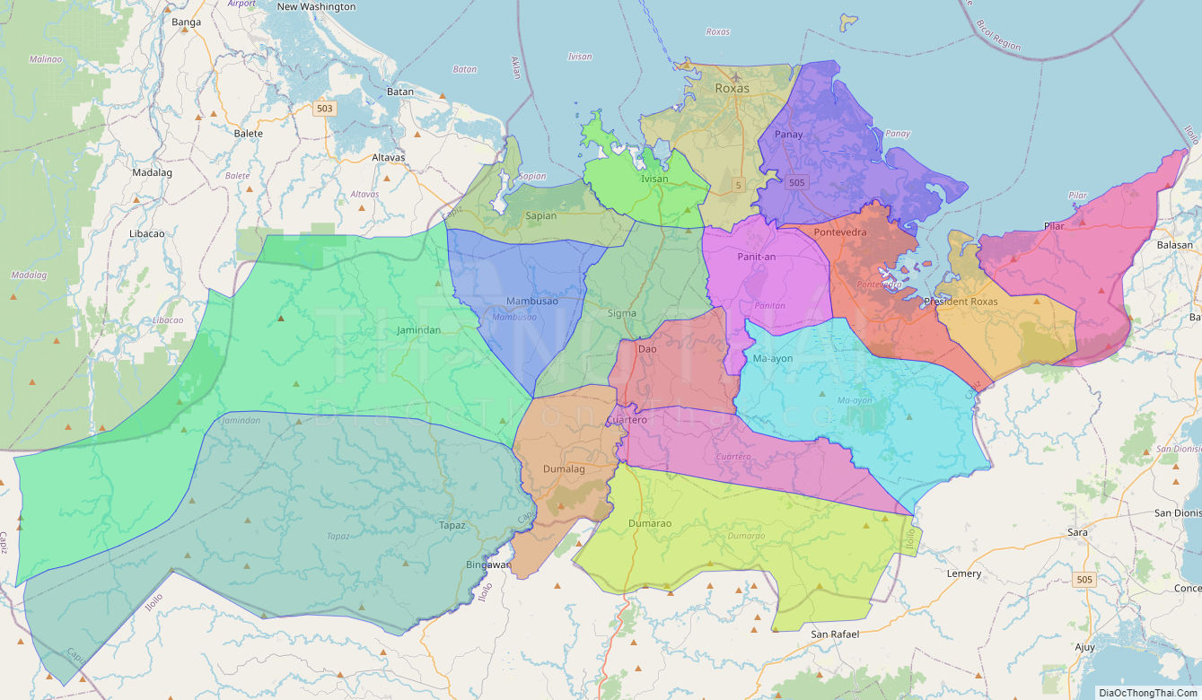
Capiz Political Map
Map of Capiz Province, Philippines the administrative divisions, provincial boundaries, along with detailed depictions of streets, roads, rivers, landmarks, and other geographical features.