Davao de Oro, officially the Province of Davao de Oro (Cebuano: Lalawigan sa Davao de Oro; Filipino: Lalawigan ng Davao de Oro), is a province in the Philippines located in the Davao Region in Mindanao. Its capital is Nabunturan while Monkayo is the most populous. It used to be part of the province of Davao del Norte until it was made a separate province in 1998.
The province borders Davao del Norte to the west, Agusan del Sur to the north, and Davao Oriental to the east. To the southwest lies the Davao Gulf. The first elected governor was Jose Caballero, formerly a lawyer for a mining group in the province. It was formerly known as Compostela Valley (shortened to ComVal; Cebuano: Kawalogang Kompostela) from its inception until December 2019, when a plebiscite ratified the law that proposed to rename the province to Davao de Oro.
| Type: | Province |
|---|---|
| Capital: | Nabunturan |
| Area: | 4,560.09 km (1,760.66 sq mi) |
| Area Rank: | 26th out of 81 |
| Population: | 767,547 |
| Population Rank: | 40th out of 81 |
| Density: | 0.70% |
| ZIP code: | 8800–8810 |
| ISO 3166 code: | PH-COM |
| Website: | www.davaodeoro.gov.ph |
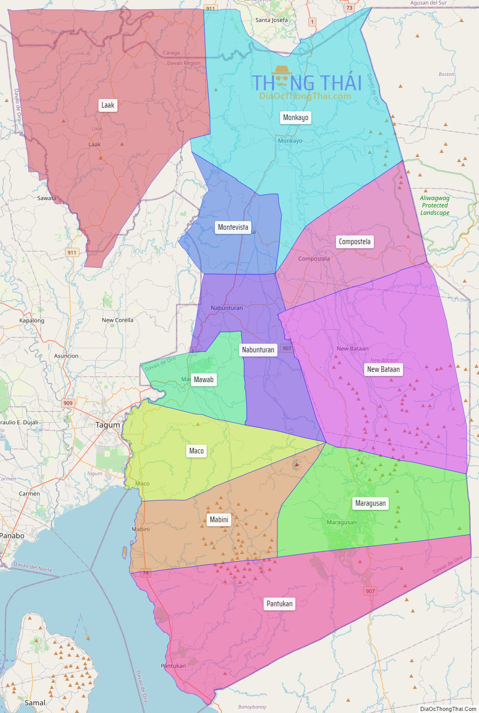
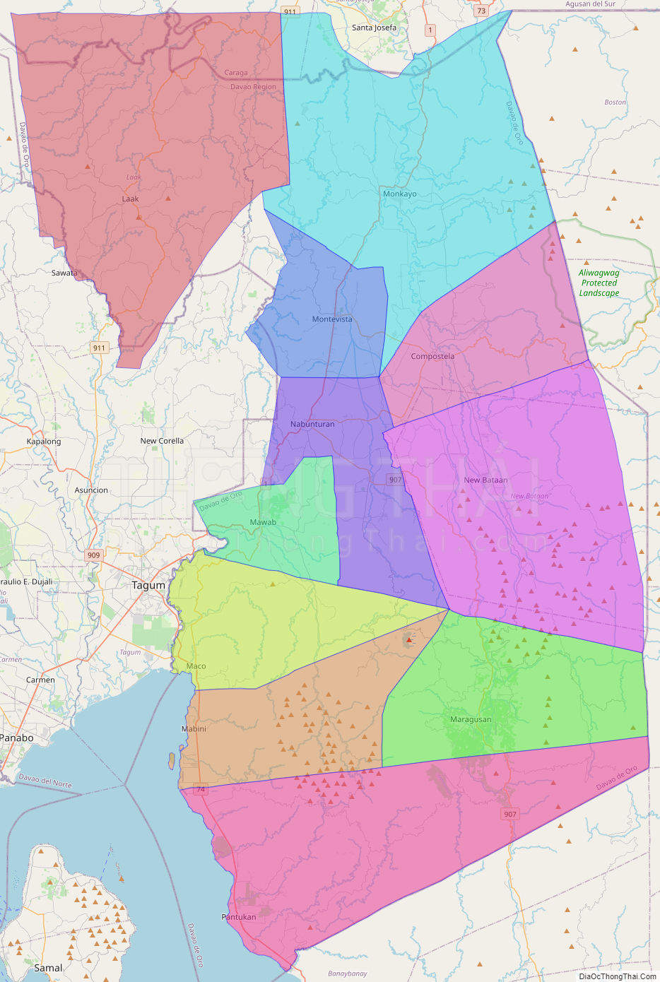
Online Interactive Map
Explore the interactive online map of Compostela Valley, which highlights the administrative boundaries with each sub-administrative unit distinctly colored for easy identification. Just click on the map, and the name of the sub-unit will display, providing an intuitive and engaging way to navigate the area. Users can also view the map in full screen and switch between different map views, including OpenStreetMap, Google Maps, and satellite imagery.
Click on ![]() to view map in "full screen" mode.
to view map in "full screen" mode.
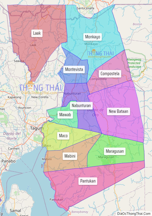
Compostela Valley Political Map
Map of Compostela Valley Province, Philippines the administrative divisions, provincial boundaries, along with detailed depictions of streets, roads, rivers, landmarks, and other geographical features.