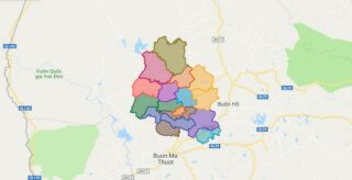
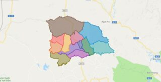
Dak Lak is a province of Vietnam. It is located in Vietnam’s Central Highlands, and is home to quite a few indigenous ethnic minorities, such as the Rade, the Jarai and the Mnong, among others.
The name comes from the Mnong (a Mon-Khmer language) word dak Lak (which would sound rather like “Dac Lac” in Vietnamese), literally “Lak Lake”, the largest freshwater lake in the province. The word dak means “water” or “lake”, and is a cognate of the Vietnamese nuoc/nac (“water”). The official spelling in Vietnamese uses is Dak Lak, despite the fact that the original Mnong word contains long “a” sounds rather than short “a” sounds. Some other spellings such as Dak Lak, Daklak, Dak Lak, Dac Lac, and Darlac (in older French texts), among others, have also been used. The Daklak Guest House, for examples, inconsistently uses Daklak and Dak Lak. Linguist Nguyen Minh Hoat has argued that a sensible spelling would be Dak Lak, based on the ground that lak means dermatophytosis in Rade (an unrelated language of the Austronesian family), while at the same time citing the Mnong origin as the basis for the dak part of the spelling. The derivative Dak Nong Province appears to have been named after this province, by replacing Lak with Nong for “Mnong”.
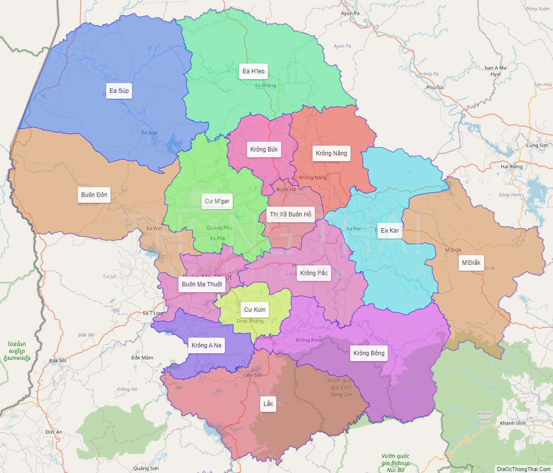
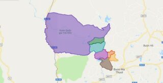
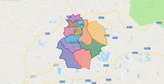
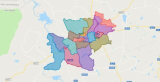
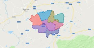
Political Map of Dak Lak province
Click on ![]() to view map in "full screen" mode.
to view map in "full screen" mode.
Base Map Layer: Open Street Map (OSM), Arcgisonline, Google Map, Wmflabs.
