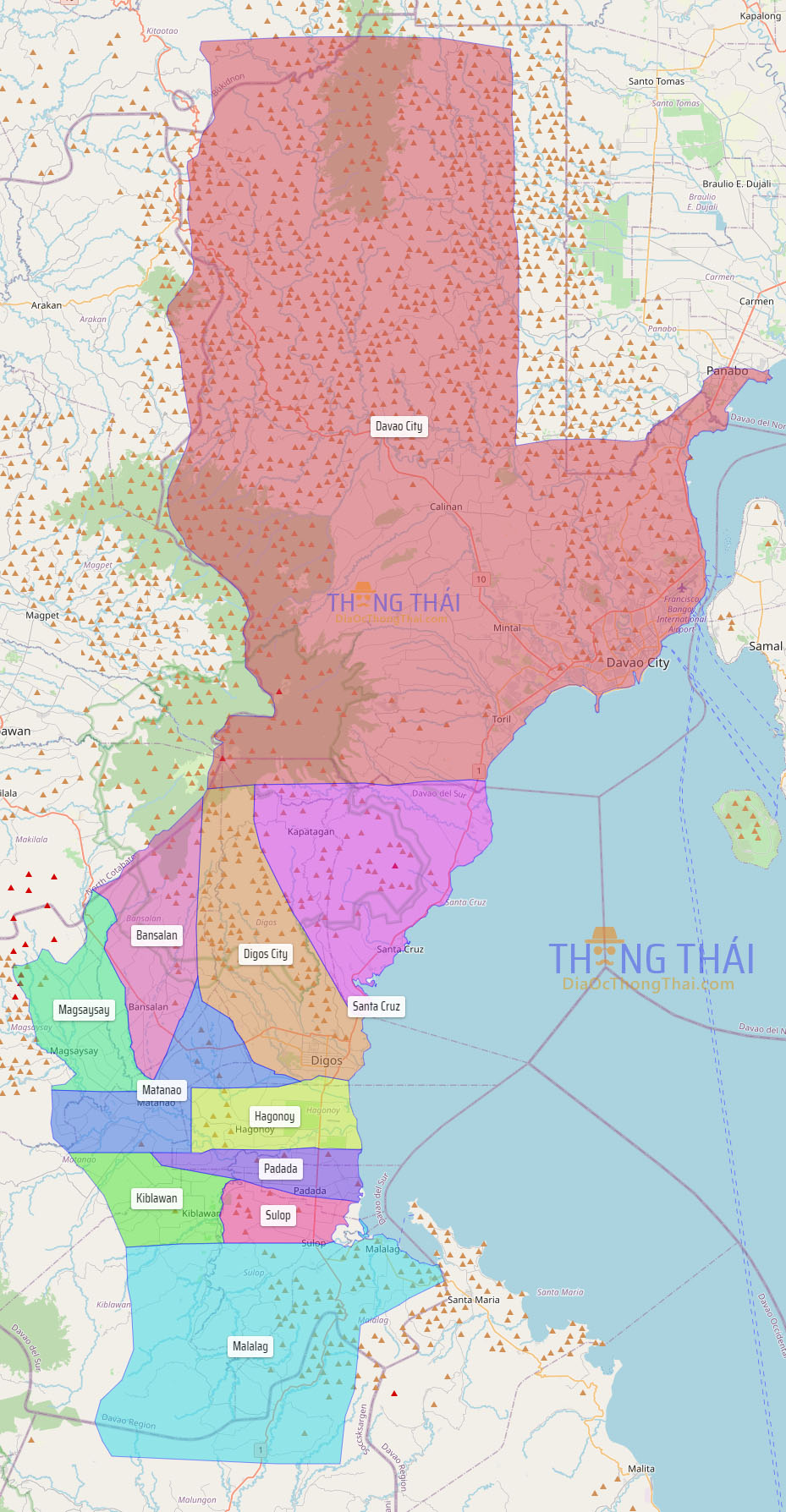
Davao del Sur (Cebuano: Habagatang Dabaw; Filipino: Katimugang Davao), officially the Province of Davao del Sur (Cebuano: Lalawigan sa Habagatang Dabaw, Lalawigan sa Davao del Sur; Filipino: Lalawigan ng Katimugang Davao, Lalawigan ng Davao del Sur), is a province in the Philippines located in the Davao Region in Mindanao. Its capital is Digos. Davao City is the largest city in terms of area and population within the province’s jurisdiction, yet it is administratively independent from the province; as such, Davao City is only grouped for geographical and statistical purposes and serves as the regional center of Davao Region.
The province is bounded by Davao del Norte to the north, Davao Occidental to the south-east, North Cotabato and Sultan Kudarat to the west, South Cotabato and Sarangani to the south-west, and Davao Gulf to the east.
| Type: | Province |
|---|---|
| Capital: | Digos |
| Area: | 2,163.98 km (835.52 sq mi) |
| Area Rank: | 56th out of 81 |
| Population: | 680,481 |
| Population Rank: | 44th out of 81 |
| Density: | 2.25% |
| ZIP code: | 8000–8010 |
| ISO 3166 code: | PH-DAS |
| Website: | davaodelsur.gov.ph |
Online Interactive Map
Explore the interactive online map of Davao del Sur, which highlights the administrative boundaries with each sub-administrative unit distinctly colored for easy identification. Just click on the map, and the name of the sub-unit will display, providing an intuitive and engaging way to navigate the area. Users can also view the map in full screen and switch between different map views, including OpenStreetMap, Google Maps, and satellite imagery.
Click on ![]() to view map in "full screen" mode.
to view map in "full screen" mode.
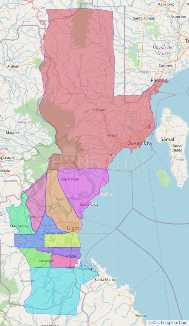
Davao del Sur Political Map
Map of Davao del Sur Province, Philippines the administrative divisions, provincial boundaries, along with detailed depictions of streets, roads, rivers, landmarks, and other geographical features.