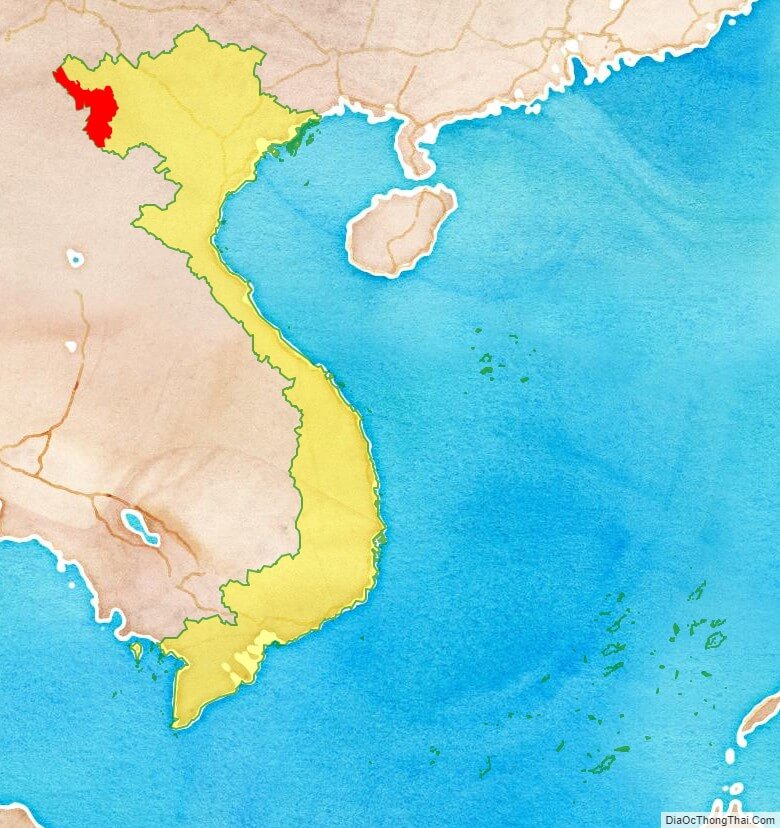
Dien Bien is a province in the Northwest region of Vietnam. It is bordered by Lai Chau to the north east, Son La provinces of Vietnam to the south east, Pu’er City, Yunnan, China, to the northwest, and Phongsaly Province in Laos to the west.
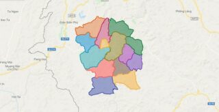
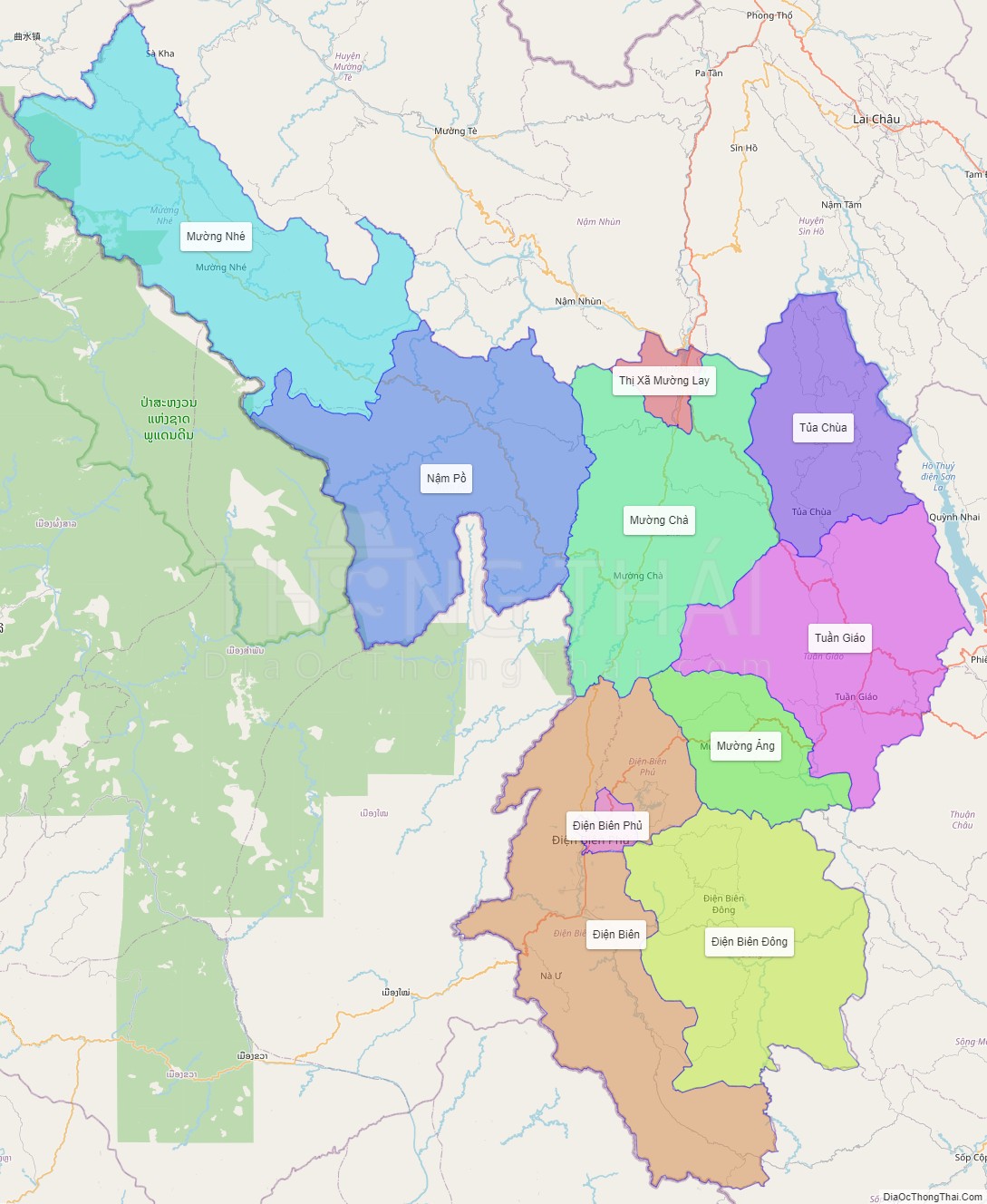
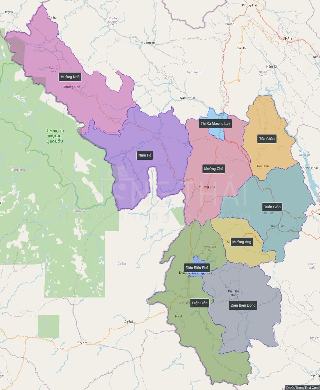
Political Map of Dien Bien province
Click on ![]() to view map in "full screen" mode.
to view map in "full screen" mode.
Base Map Layer: Open Street Map (OSM), Arcgisonline, Google Map, Wmflabs.
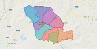
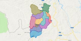
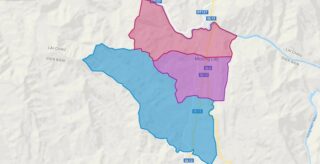
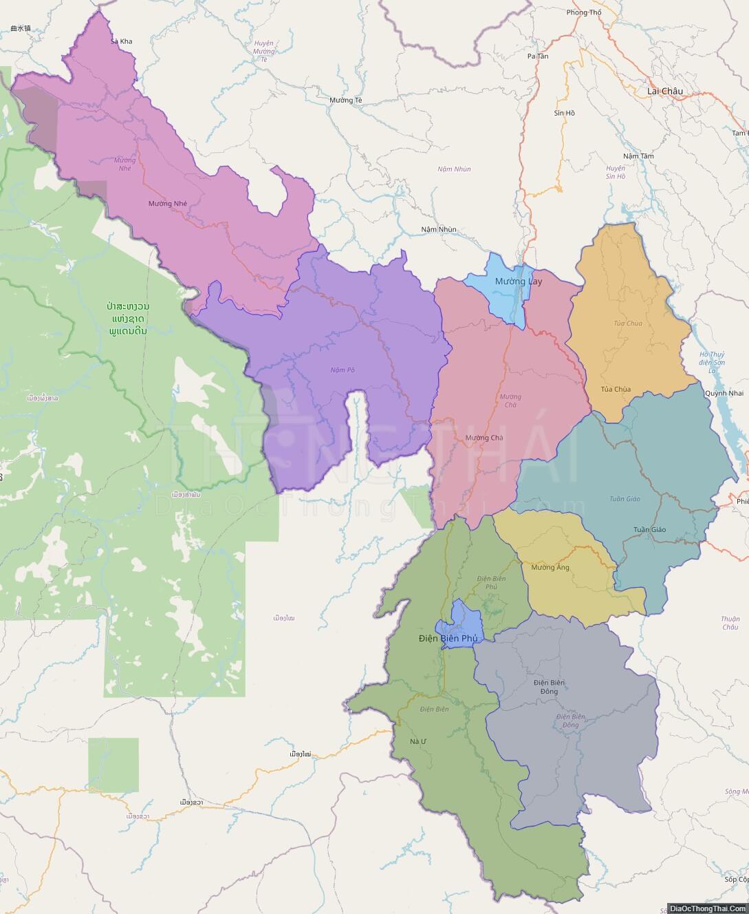
Large scale maps of Dien Bien province
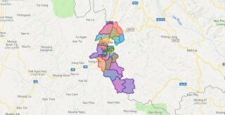
Dien Bien province location map
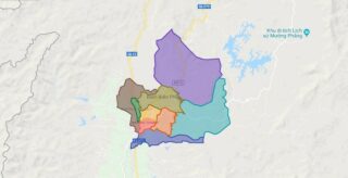
Dien Bien street map
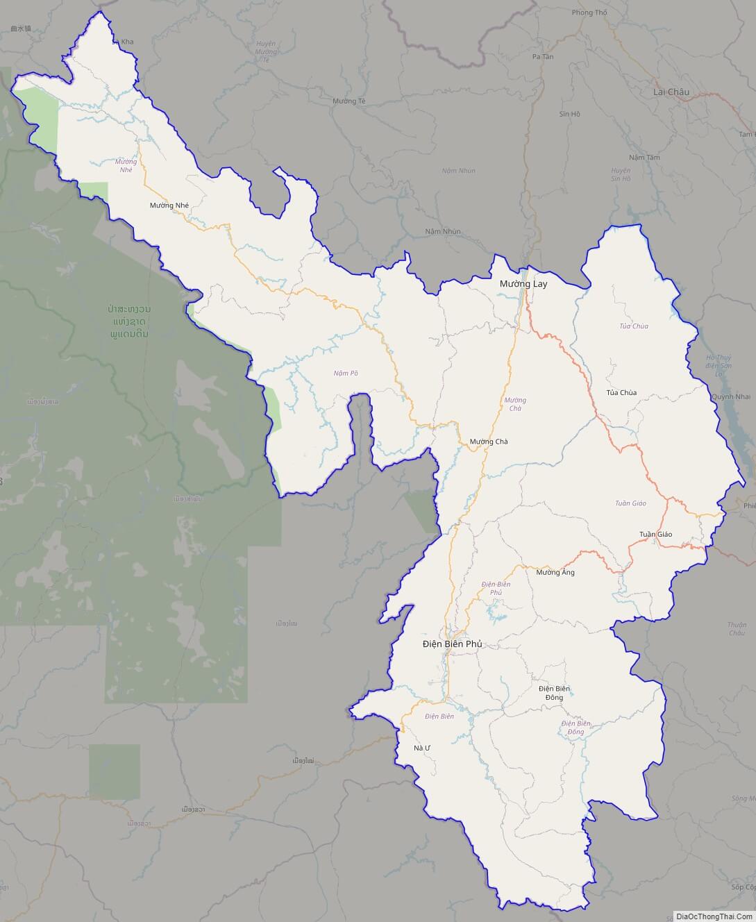
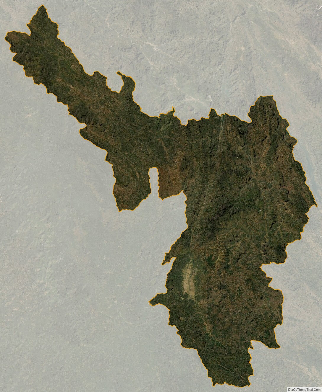
Dien Bien satellite map