Dong Nai is a province in the Southeast region of Vietnam, located east and northeast of Ho Chi Minh City (Saigon). The largest city in Dong Nai is Bien Hoa. Prior to Vietnamese colonization, the area was dominated by the Funan, Chenla, Khmer empire and subsequent influences until 1627. The area was known as Kampeap Srakatrey (កំពាប់ [កំពប់] ស្រកាត្រី) in Khmer.
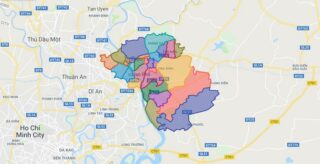
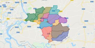
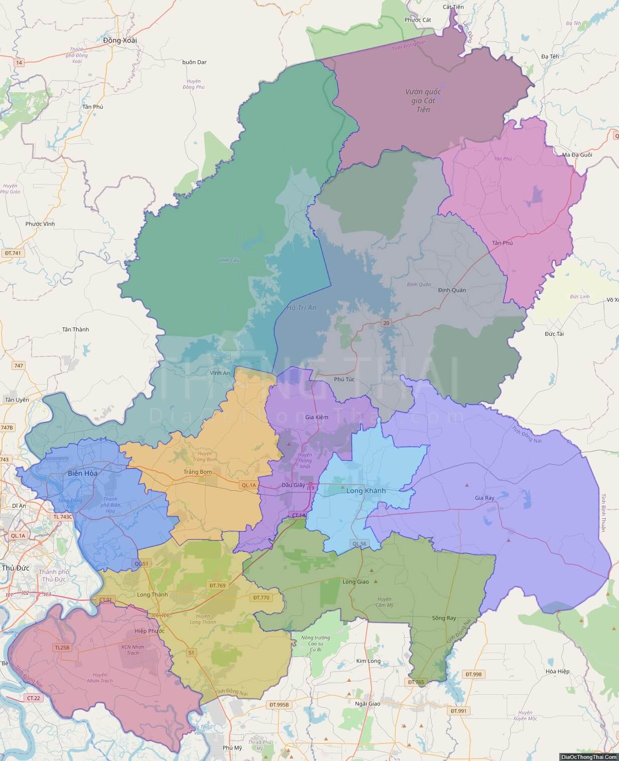
Political Map of Dong Nai province
Click on ![]() to view map in "full screen" mode.
to view map in "full screen" mode.
Base Map Layer: Open Street Map (OSM), Arcgisonline, Google Map, Wmflabs.
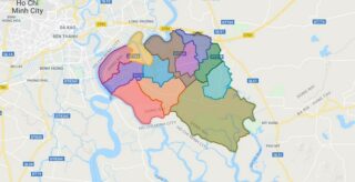
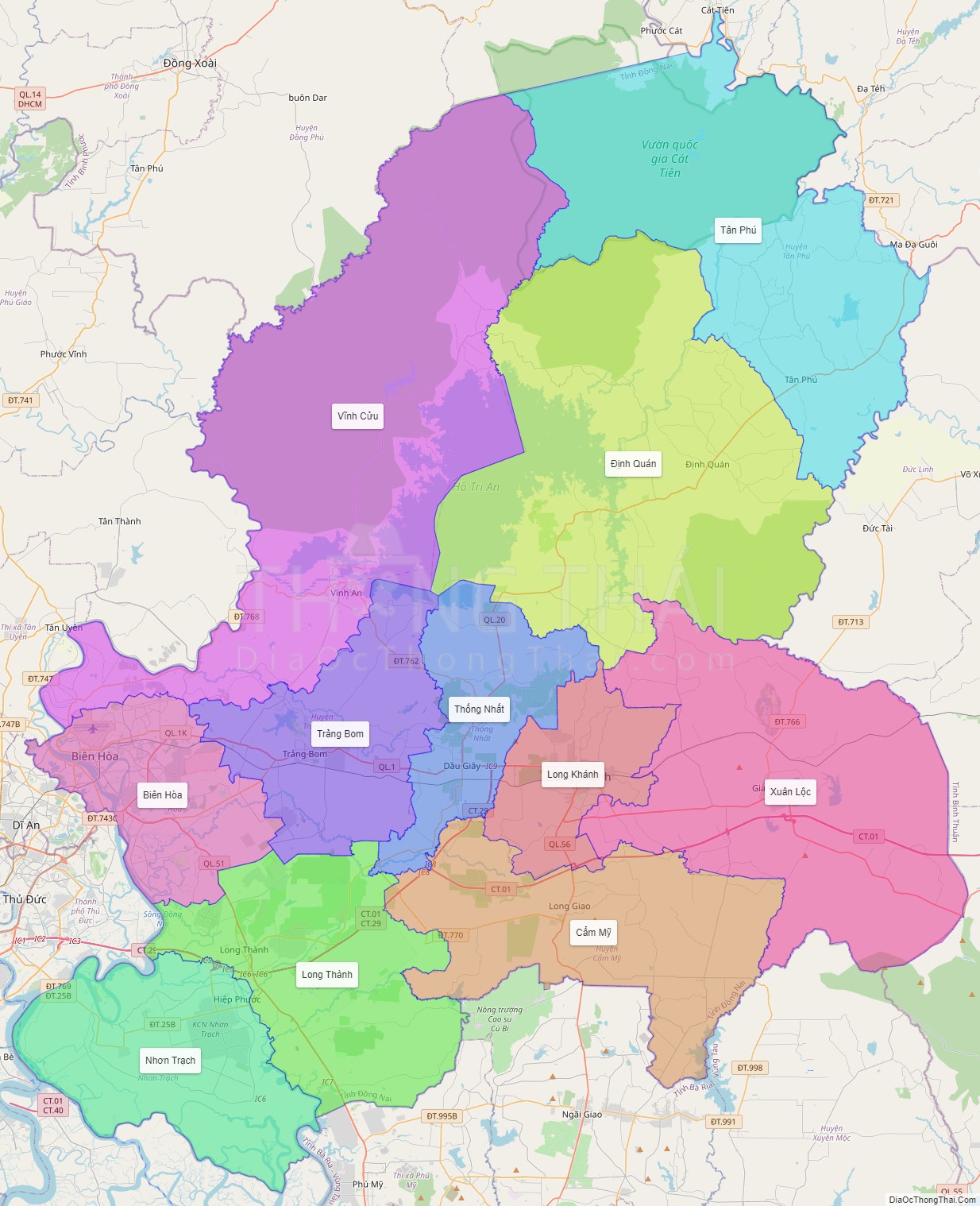
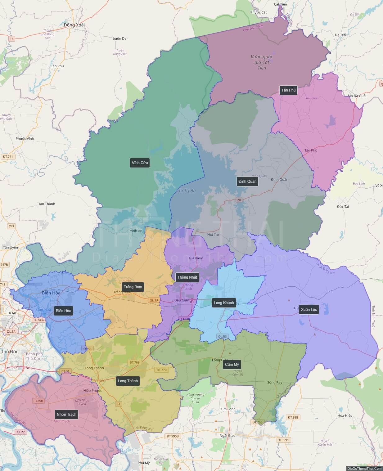
Large scale maps of Dong Nai province
Dong Nai province location map

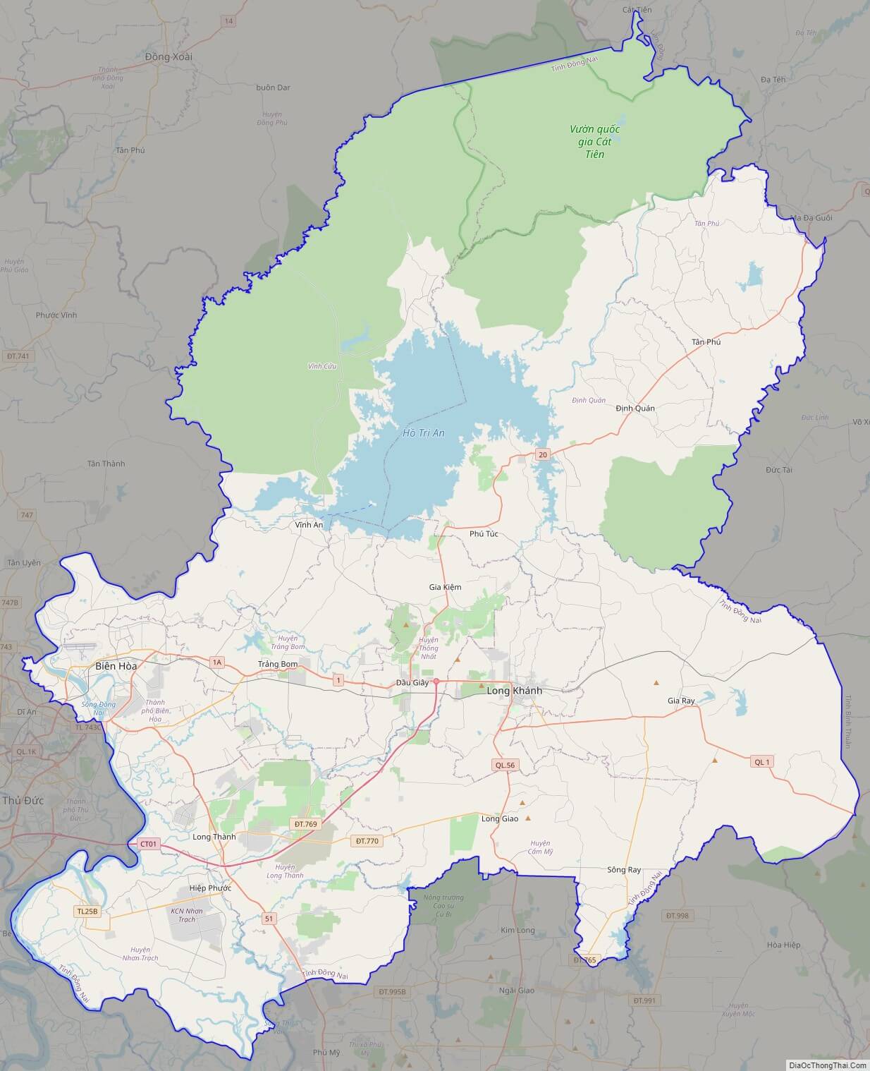
Dong Nai street map
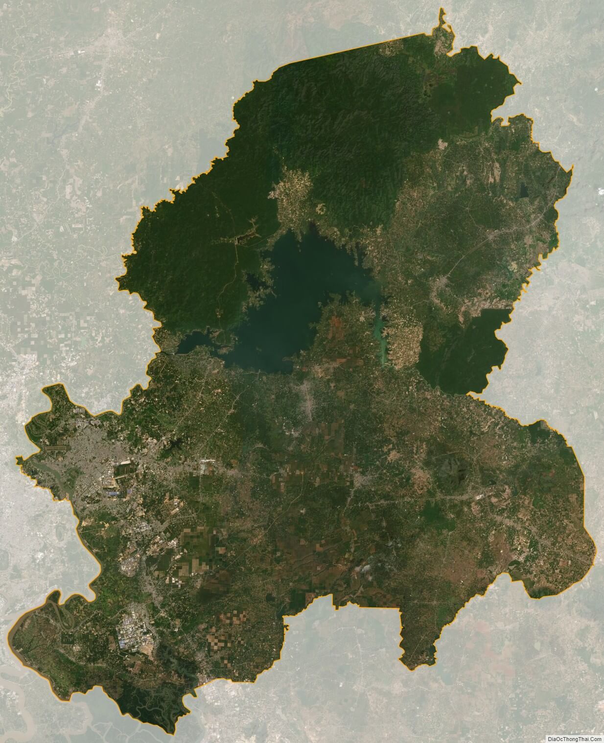
Dong Nai satellite map