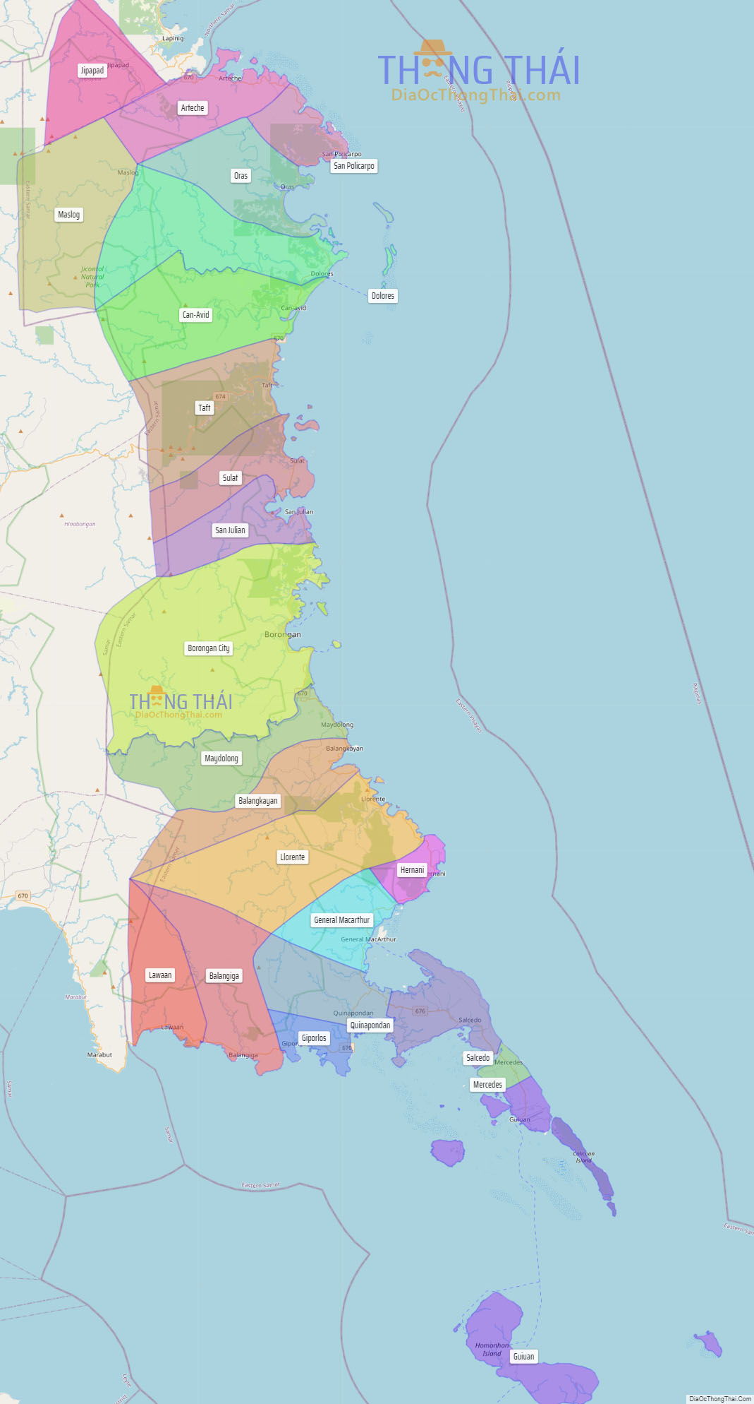
Eastern Samar (Waray-Waray: Sinirangan Samar; Tagalog: Silangang Samar), officially the Province of Eastern Samar, is a province in the Philippines located in the Eastern Visayas region. Its capital is the city of Borongan, which is the most populous. Eastern Samar occupies the eastern portion of the island of Samar. Bordering the province to the north is the province of Northern Samar and to the west is Samar province. To the east lies the Philippine Sea, part of the vast Pacific Ocean, while to the south lies Leyte Gulf.
| Type: | Province |
|---|---|
| Capital: | Borongan |
| Area: | 4,660.47 km (1,799.42 sq mi) |
| Area Rank: | 24th out of 81 |
| Population: | 477,168 |
| Population Rank: | 60th out of 81 |
| Density: | 0.44% |
| ZIP code: | 6800–6822 |
| ISO 3166 code: | PH-EAS |
| Website: | www.easternsamar.gov.ph |
Online Interactive Map
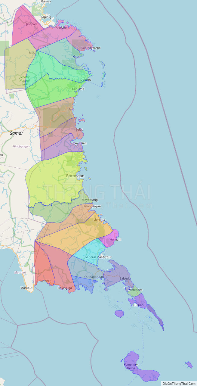
Explore the interactive online map of Eastern Samar, which highlights the administrative boundaries with each sub-administrative unit distinctly colored for easy identification. Just click on the map, and the name of the sub-unit will display, providing an intuitive and engaging way to navigate the area. Users can also view the map in full screen and switch between different map views, including OpenStreetMap, Google Maps, and satellite imagery.
Click on ![]() to view map in "full screen" mode.
to view map in "full screen" mode.
Eastern Samar Political Map
Map of Eastern Samar Province, Philippines the administrative divisions, provincial boundaries, along with detailed depictions of streets, roads, rivers, landmarks, and other geographical features.