The Fairbanks North Star Borough is a borough located in the state of Alaska. As of the 2020 census, the population was 95,665, down from 97,581 in 2010. The borough seat is Fairbanks. The borough’s land area is slightly smaller than that of the state of New Jersey.
Fairbanks North Star Borough comprises the Fairbanks, AK, Metropolitan Statistical Area, which is one of only two metropolitan areas in Alaska.
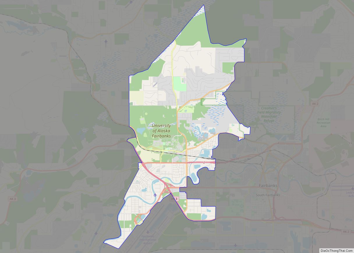
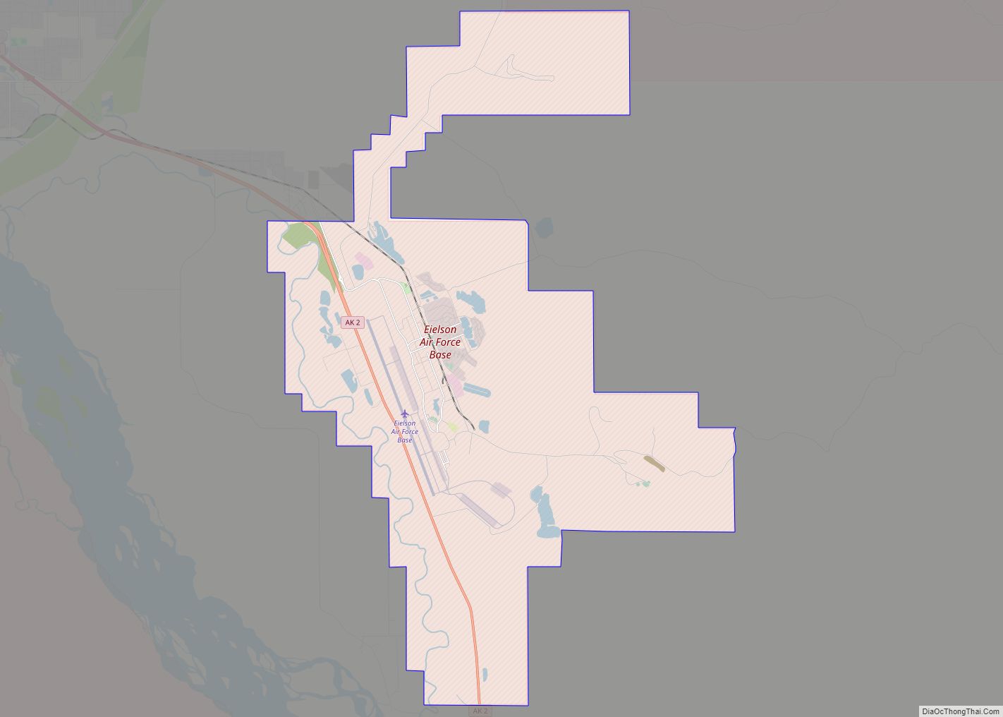
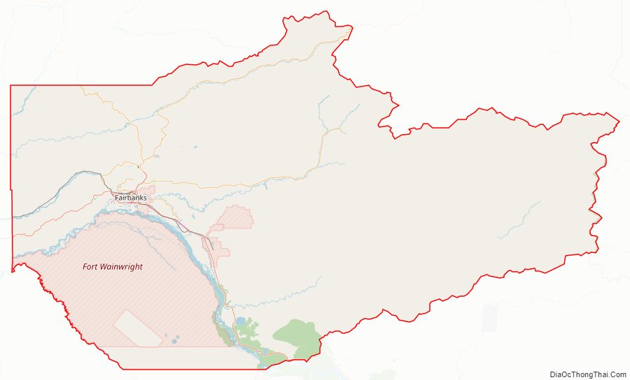
The borough is home to the University of Alaska Fairbanks, Fort Wainwright and Eielson Air Force Base.
| Name: | Fairbanks North Star Borough |
|---|---|
| FIPS code: | 02-090 |
| State: | Alaska |
| Named for: | Fairbanks and Polaris, the North Star |
| Seat: | Fairbanks |
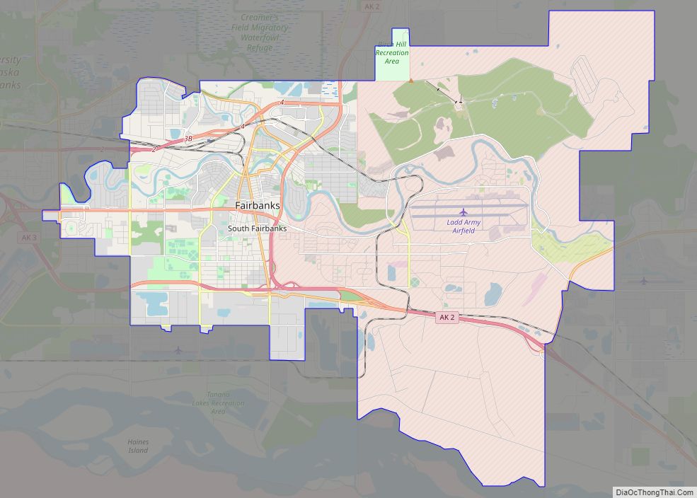
| Largest city: | Fairbanks |
| Total Area: | 7,444 sq mi (19,280 km²) |
| Land Area: | 7,338 sq mi (19,010 km²) |
| Total Population: | 95,665 |
| Population Density: | 13/sq mi (5.0/km²) |
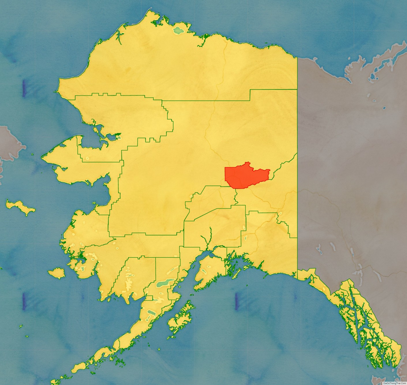
Fairbanks North Star Borough location map. Where is Fairbanks North Star Borough?
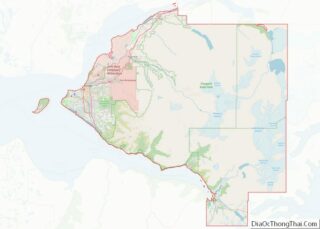
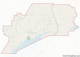
Fairbanks North Star Borough Road Map
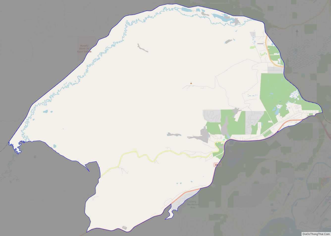
Geography
The borough has a total area of 7,444 square miles (19,280 km), of which 7,338 square miles (19,010 km) is land and 105 square miles (270 km) (1.4%) is water.
Adjacent boroughs and census areas
- Yukon-Koyukuk Census Area, Alaska – north
- Southeast Fairbanks Census Area, Alaska – southeast
- Denali Borough, Alaska – southwest
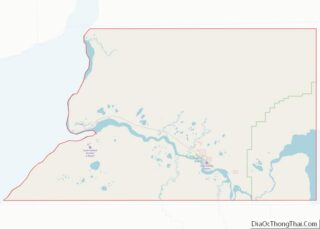
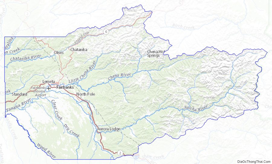
Fairbanks North Star Borough Topographic Map
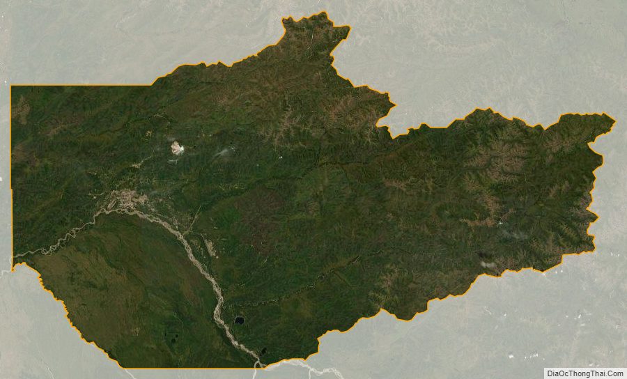
Fairbanks North Star Borough Satellite Map
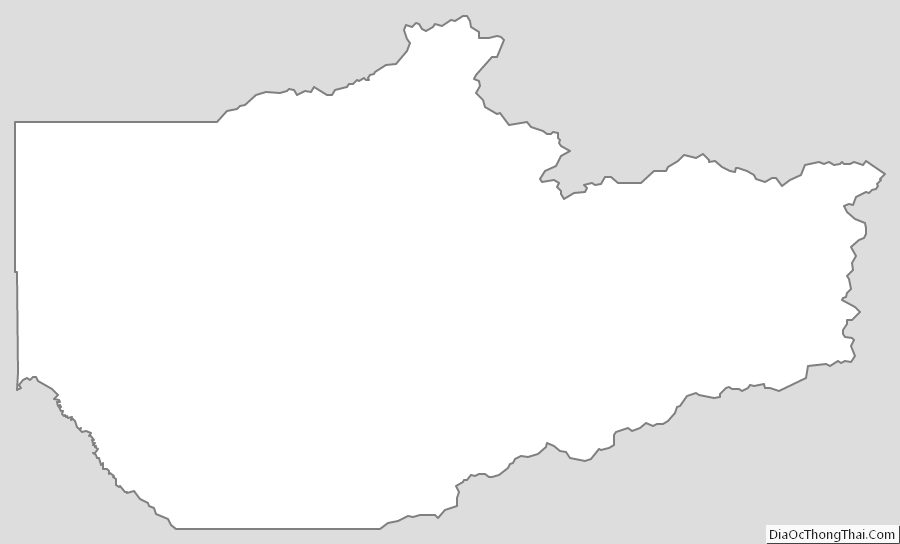
Fairbanks North Star Borough Outline Map