Hai Duong is a province in the Red River Delta of northern Vietnam. Its name derives from Sino-Vietnamese “ocean sun”, though the modern province is in fact landlocked. Nowadays, Hai Duong is among the most industrialized and developed provinces in Vietnam.
The province is located in the Red River Delta of north-eastern Vietnam, about mid-distance from Hanoi to Hai Phong. Two famous pagodas, Con Son and Kiep Bac, are situated in this province. The province is known for its lychees and for the traditional sweet banh dau xanh (mung bean paste).
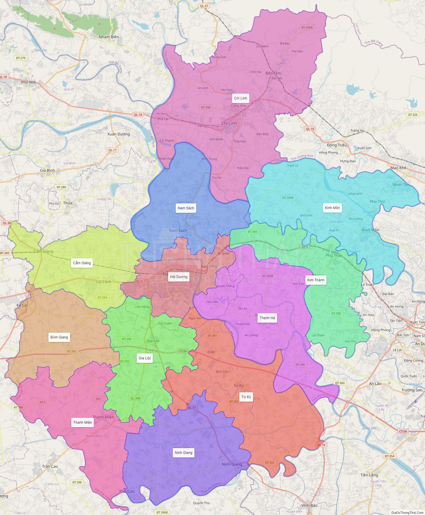
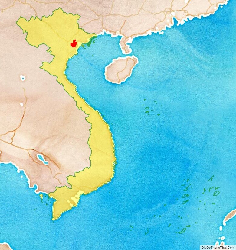
* Hai Duong is located in the center of North Vietnam. The natural area of the province is 1,661.2 km2, ranked 51st of the total area. Hai Duong province borders six provinces: Bac Ninh, Bac Giang, and Quang Ninh in the north; Hung Yen in the west; Hai Phong in the east; and Thai Binh to the south.
* There are important roads and railways running through the province, including Highways No. 5, No. 18, No. 183 and No. 37.
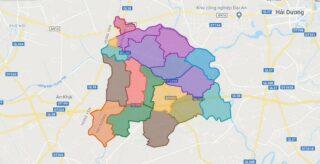
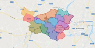
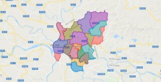
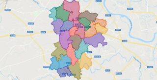
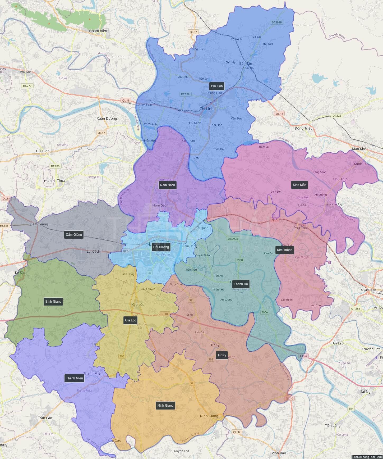
Political Map of Hai Duong province
Click on ![]() to view map in "full screen" mode.
to view map in "full screen" mode.
Base Map Layer: Open Street Map (OSM), Arcgisonline, Google Map, Wmflabs.
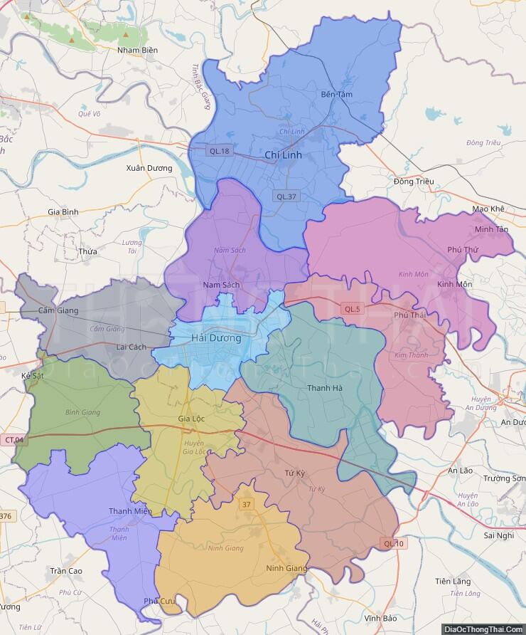
Large scale maps of Hai Duong province
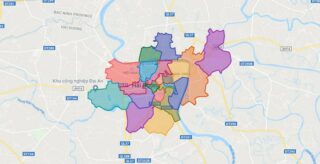
Hai Duong province location map
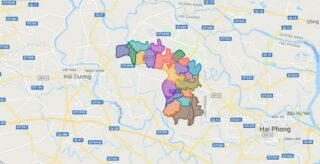
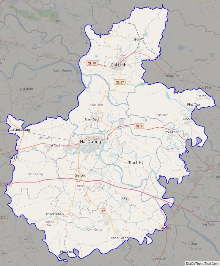
Hai Duong street map
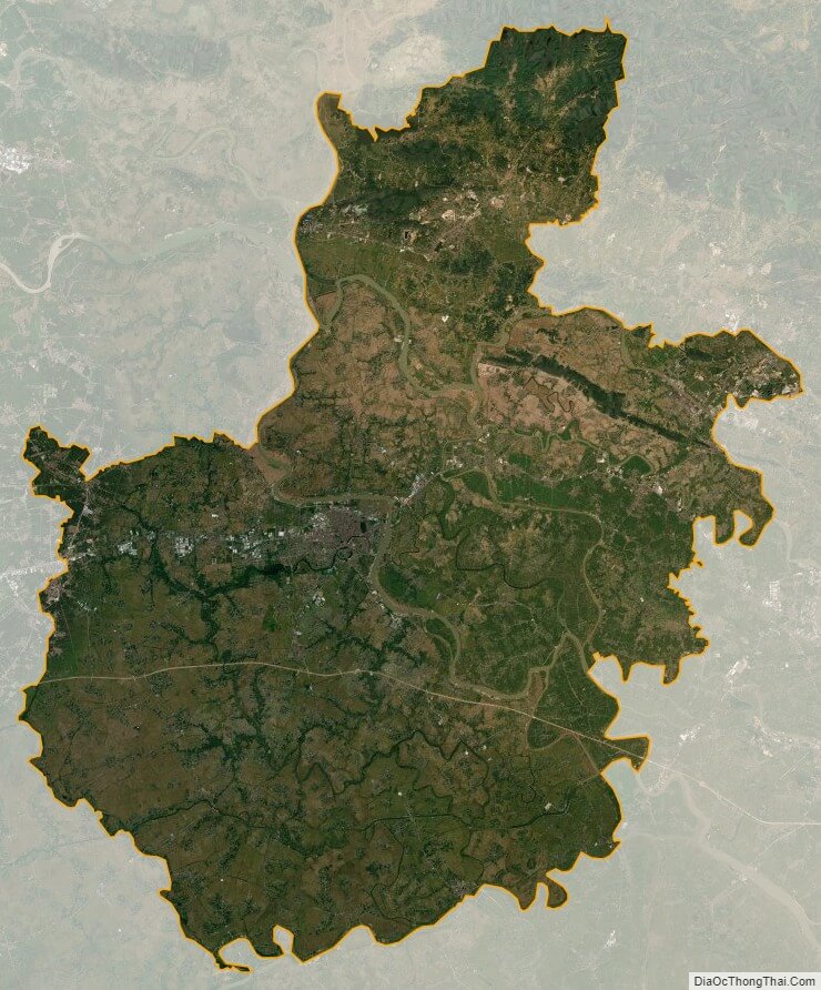
Hai Duong satellite map