Haiphong (Hai Phong, ) is a major industrial city, the second largest city in the northern part of Vietnam, and third largest city overall in Vietnam. Hai Phong is also the center of technology, economy, culture, medicine, education, science and trade in the northern coast of Vietnam.
Hai Phong city traces its origin to its 1887 founding as a seaport province by colonist of the French Colonial Empire. In 1888, the president of the French Third Republic Sadi Carnot promulgated a decree to establish Hai Phong city. From 1954 to 1975, Hai Phong served as the most important maritime city of North Vietnam, and it became one of direct-controlled municipalities of a reunified Vietnam with Ha Noi and Ho Chi Minh city in 1976. In the 21st century, Hai Phong has merged as a trading gateway, modern, green industrial city of Viet Nam, oriented to become the third special-class city of Viet Nam in 2030 or by 2050 at the latest.
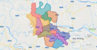
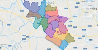
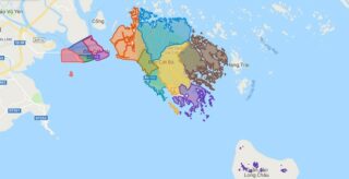
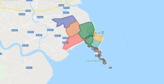
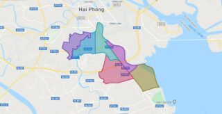
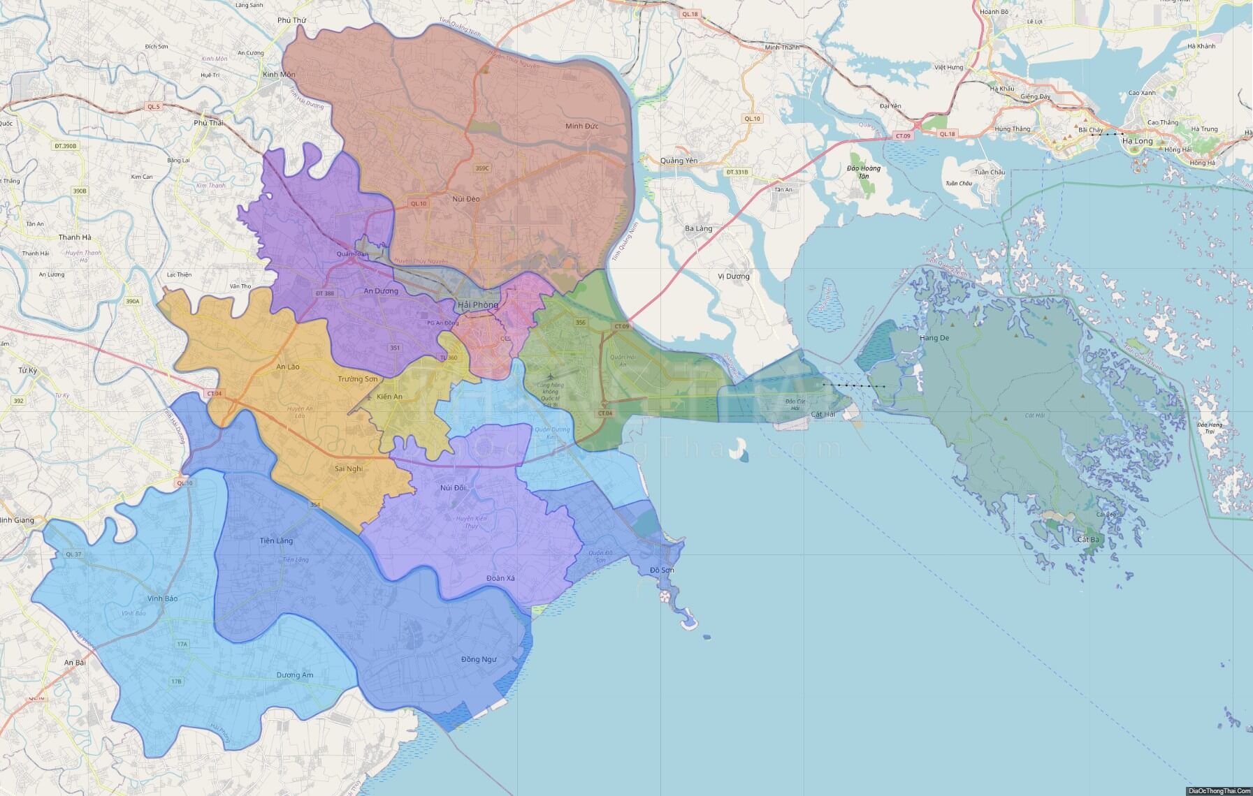
Political Map of Hai Phong city
Click on ![]() to view map in "full screen" mode.
to view map in "full screen" mode.
Base Map Layer: Open Street Map (OSM), Arcgisonline, Google Map, Wmflabs.
Large scale maps of Hai Phong city

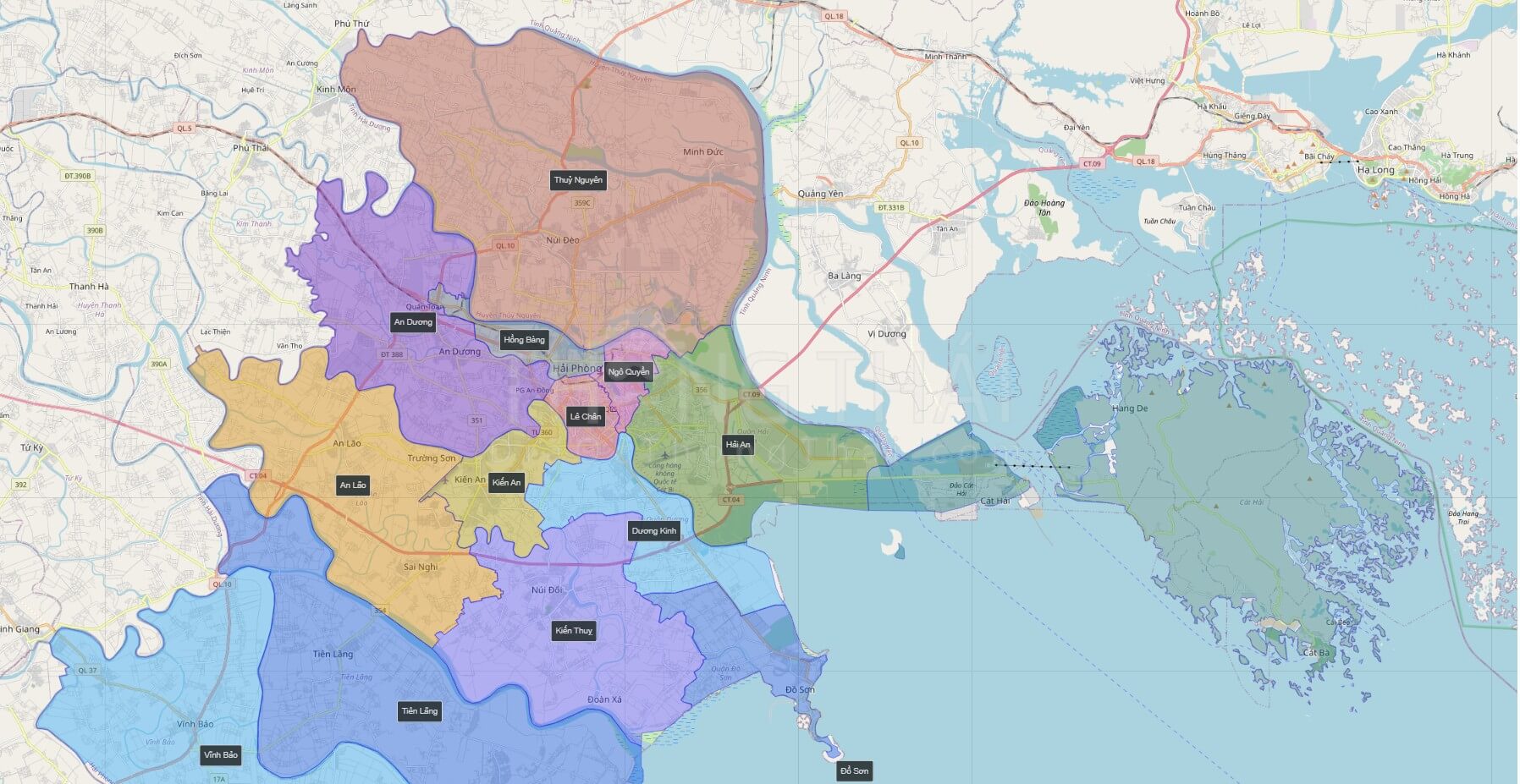
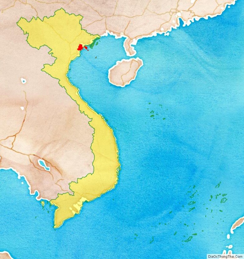
Hai Phong city location map
Hai Phong city street map
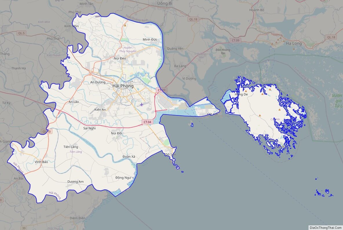
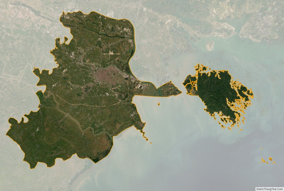
Hai Phong city satellite map