Hau Giang is a province of Vietnam, in the Mekong Delta region in the southern part of that country. Vi Thanh is the capital.
Until 1975, the province of Hau Giang included the city of Can Tho; that city was the capital of the province. In 1975, the province was renamed Can Tho Province, with the city of Can Tho still the capital. In late 2004, Can Tho and some surrounding cities became Can Tho Municipality (Thanh Pho Can Tho). The remainder of Can Tho Province became Hau Giang Province.
Hau Giang has an industrial zone of 902 ha. There are 120 km National roads: National Highway 61 (which leads to National Highway 1 which leads to Can Tho Municipality on the Hau River which leads to Ho Chi Minh City), and water connections by canal and river to the Hau River.
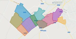
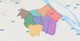
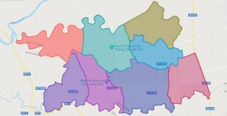
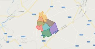
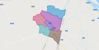
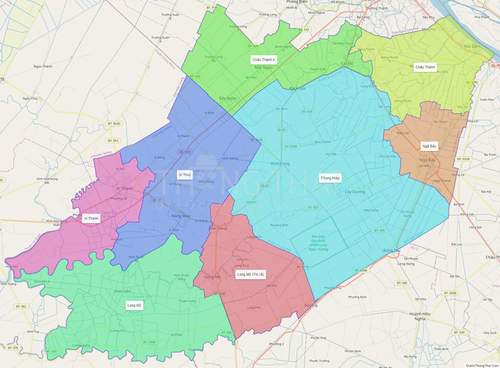
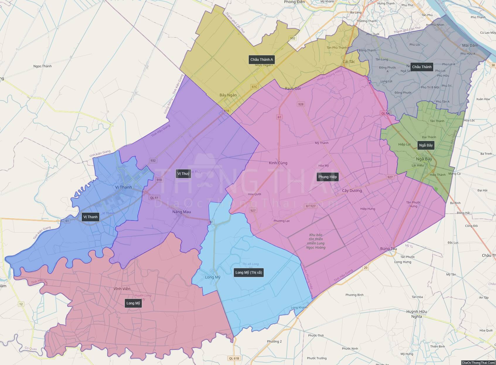
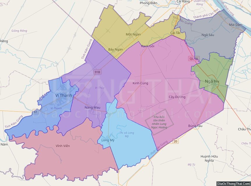
Political Map of Hau Giang province
Click on ![]() to view map in "full screen" mode.
to view map in "full screen" mode.
Base Map Layer: Open Street Map (OSM), Arcgisonline, Google Map, Wmflabs.
Large scale maps of Hau Giang province
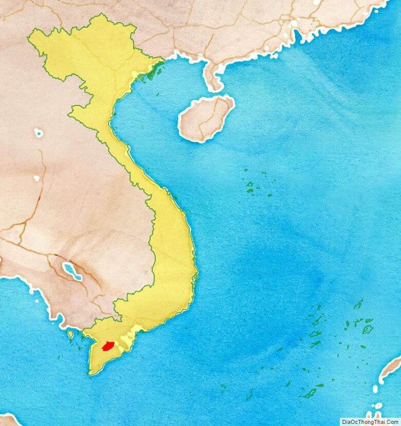
Hau Giang province location map
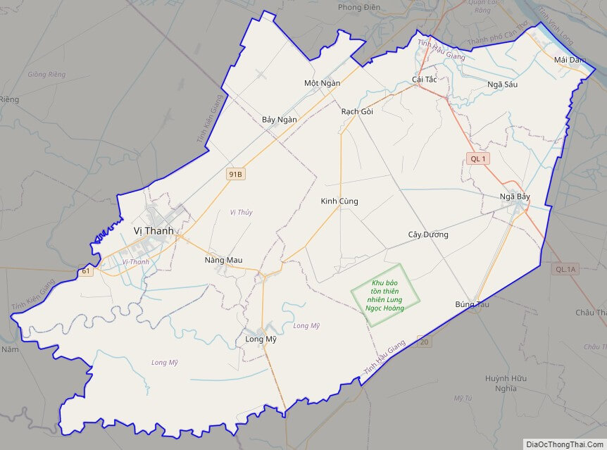
Hau Giang street map
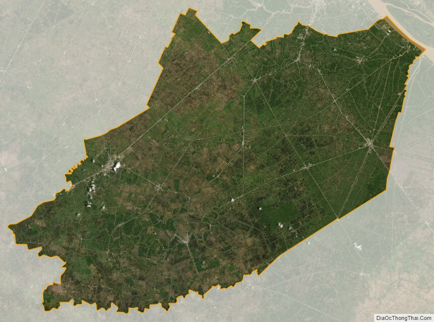
Hau Giang satellite map