Lanao del Norte (Cebuano: Amihanang Lanao; Tagalog: Hilagang Lanao; Maranao: Pangotaraan Ranao), officially the Province of Lanao del Norte, is a province in the Philippines located in the Northern Mindanao region. Its capital is Tubod.
The province borders Lanao del Sur to the southeast, Zamboanga del Sur to the west, Illana Bay to the southwest, Iligan Bay to the north, Misamis Oriental to the northeast, and is separated from Misamis Occidental by Panguil Bay to the northwest. According to the 2020 census, the province has a total population of 722,902 people.
Situated within Lanao del Norte is the highly urbanized city of Iligan, which is governed independently from the province and also the largest city in both land area and population.
| Type: | Province |
|---|---|
| Capital: | Tubod |
| Area: | 3,354.16 km (1,295.05 sq mi) |
| Area Rank: | 40th out of 81 |
| Population: | 722,902 |
| Population Rank: | 42nd out of 81 |
| Density: | 1.00% |
| ISO 3166 code: | PH-LAN |
| Website: | www.lanaodelnorte.gov.ph |
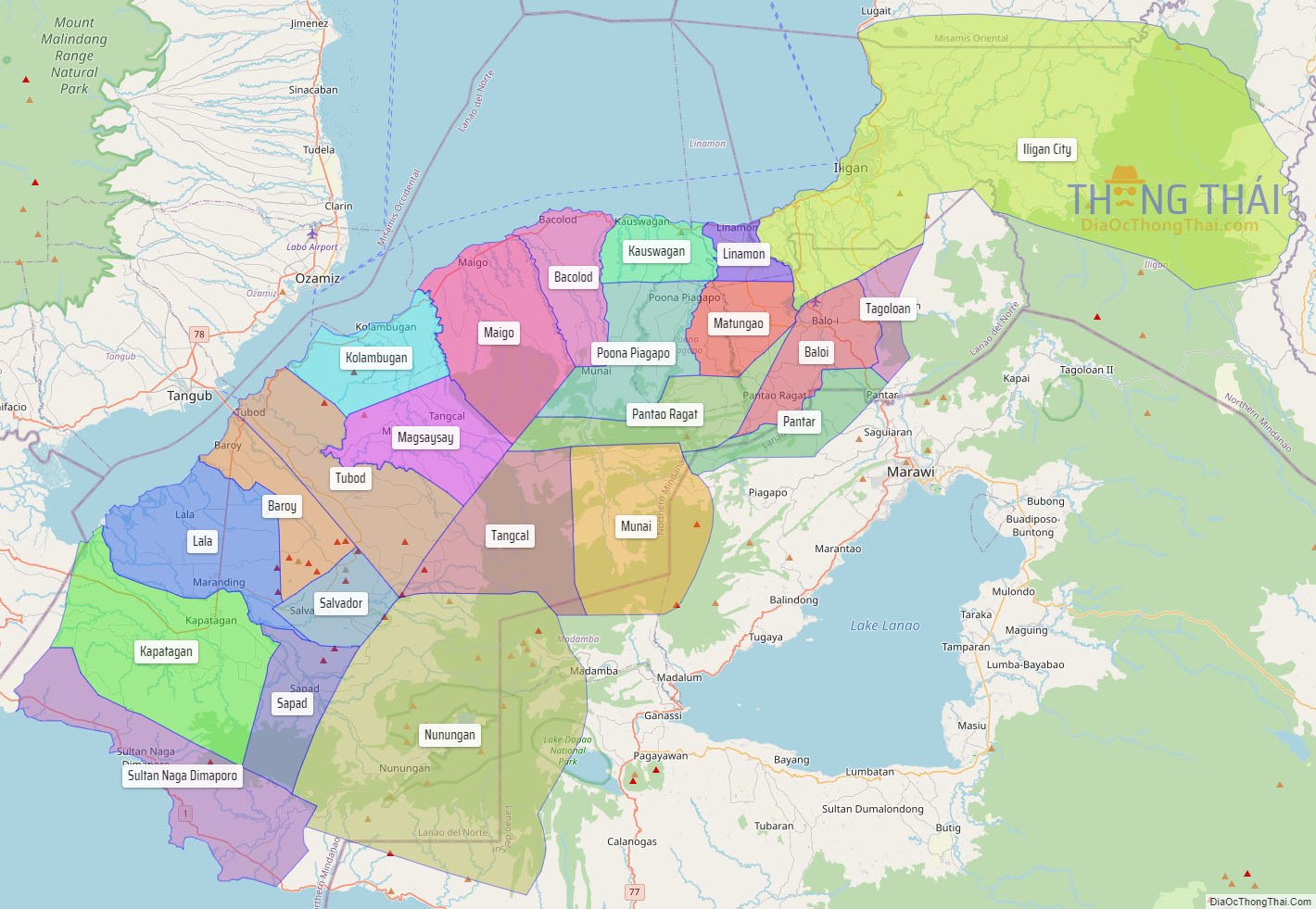
Online Interactive Map
Explore the interactive online map of Lanao del Norte, which highlights the administrative boundaries with each sub-administrative unit distinctly colored for easy identification. Just click on the map, and the name of the sub-unit will display, providing an intuitive and engaging way to navigate the area. Users can also view the map in full screen and switch between different map views, including OpenStreetMap, Google Maps, and satellite imagery.
Click on ![]() to view map in "full screen" mode.
to view map in "full screen" mode.
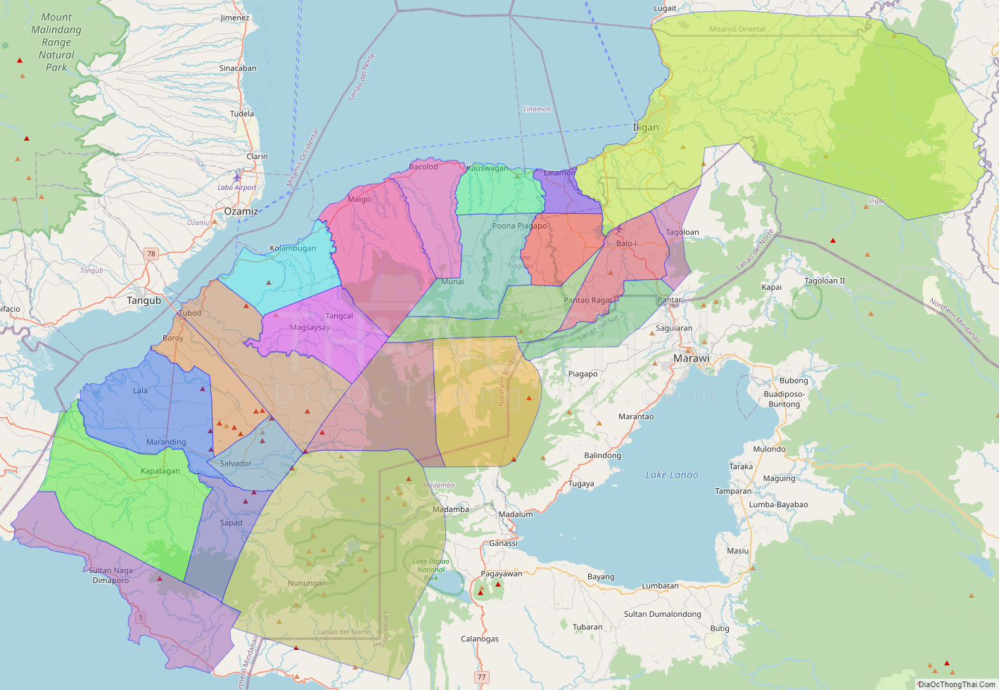
Lanao del Norte Political Map
Map of Lanao del Norte Province, Philippines the administrative divisions, provincial boundaries, along with detailed depictions of streets, roads, rivers, landmarks, and other geographical features.