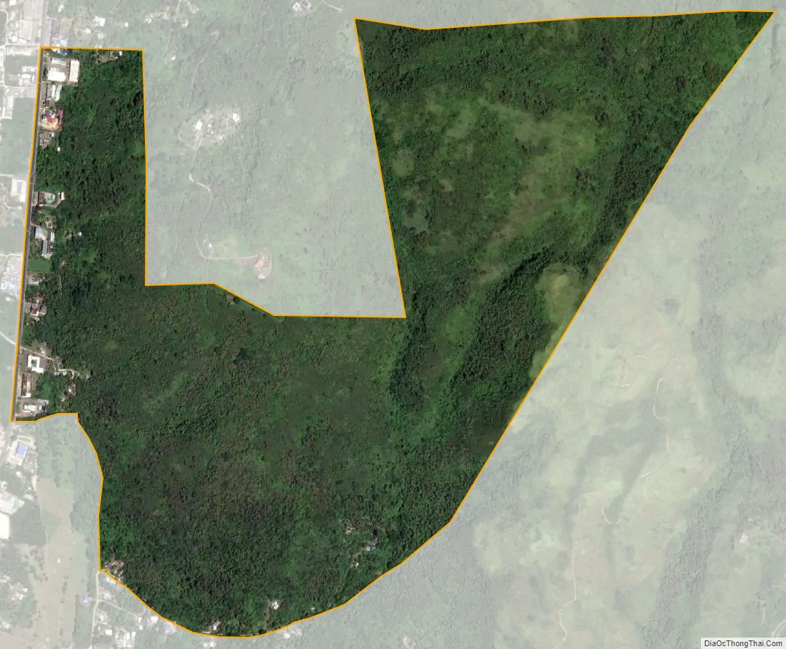
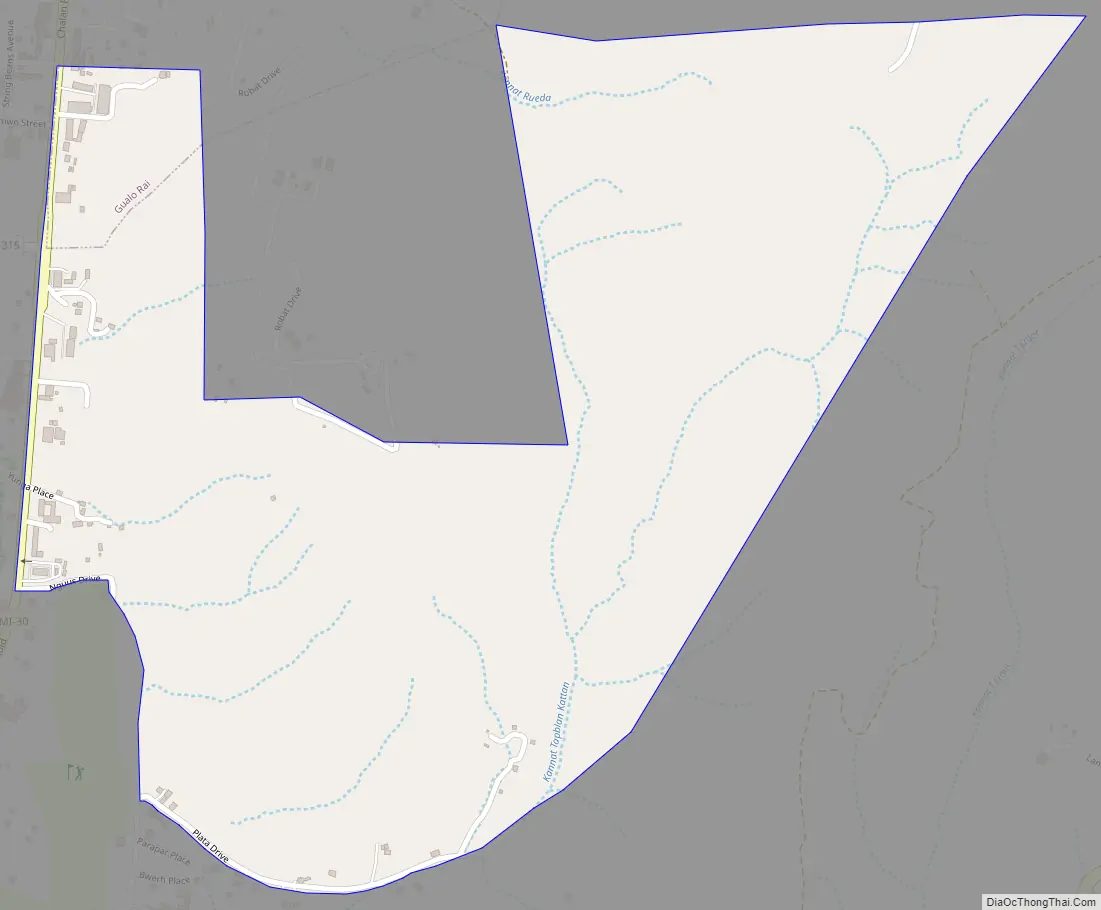
Map of Chalan Rueda village

Chalan Rueda village overview:
Name:Chalan Rueda village
LSAD Code:47
LSAD Description:village (suffix)
FIPS code:6913600

Online Interactive Map

Chalan Rueda online map. Source: Basemap layers from Google Map, Open Street Map (OSM), Arcgisonline, Wmflabs. Boundary Data from Database of Global Administrative Areas.

Chalan Rueda location map. Where is Chalan Rueda village?

Chalan Rueda location on the U.S. Map. Where is Chalan Rueda village.
Chalan Rueda location on the U.S. Map.
Chalan Rueda location on the Northern Mariana Islands  map. Where is Chalan Rueda village.
Location of Chalan Rueda in Northern Mariana Islands .

Chalan Rueda Road Map

Road map of Chalan Rueda

Chalan Rueda city Satellite Map

Satellite map of Chalan Rueda

See also

Map of other states:
5/5 - (1 vote)