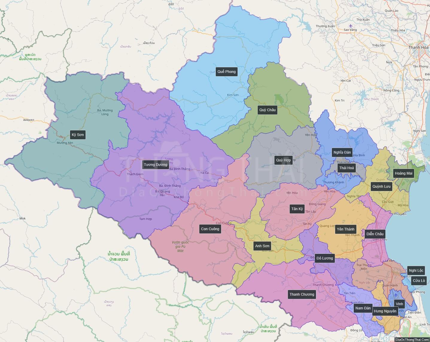
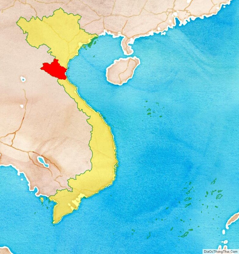
Nghe An is a province in the North Central Coast region of Vietnam. It is Vietnam’s largest province by area. Nghe An is located in a central position in North Central Coast. To the east lies the Gulf of Tonkin; to the west the province is bordered by Laos; to the south Ha Tinh Province; and to the north is Thanh Hoa Province. It is located on the east–west economic corridor connecting Myanmar, Thailand, Laos and Vietnam along National Route 7 to the port of Cua Lo.
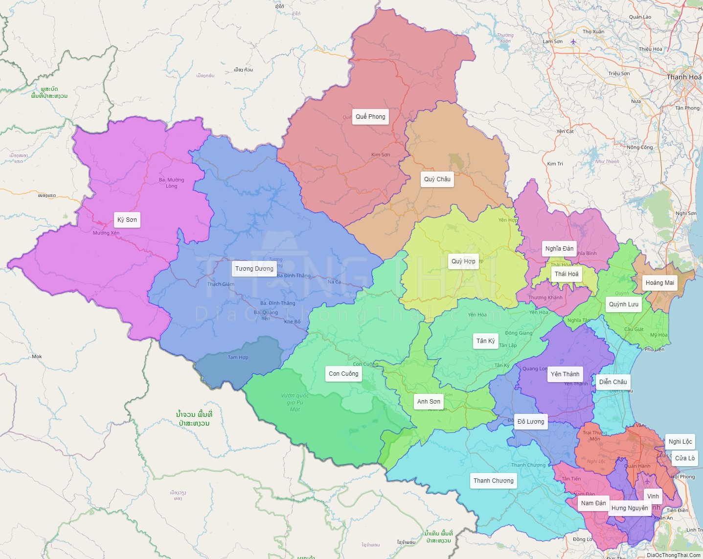
Nghe An has one city, three towns and 17 districts. Vinh is a grade one city, and is the economic and cultural center of the province, and of the whole North Central Coast.
Nghe An (乂安) and Thanh Hoa were the base of “Thanh-Nghe” (from the name of the two provinces) former Le Dynasty loyalist opposition to the new Mac dynasty in the 1530s.
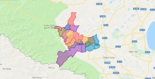
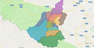
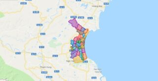
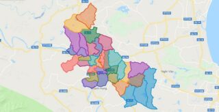
Political Map of Nghe An province
Click on ![]() to view map in "full screen" mode.
to view map in "full screen" mode.
Base Map Layer: Open Street Map (OSM), Arcgisonline, Google Map, Wmflabs.
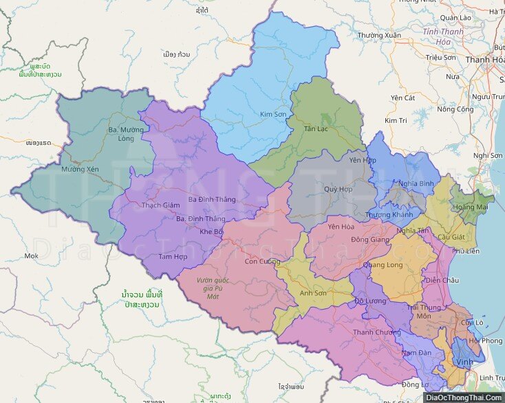
Large scale maps of Nghe An province
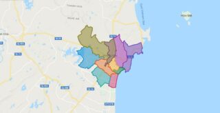
Nghe An province location map
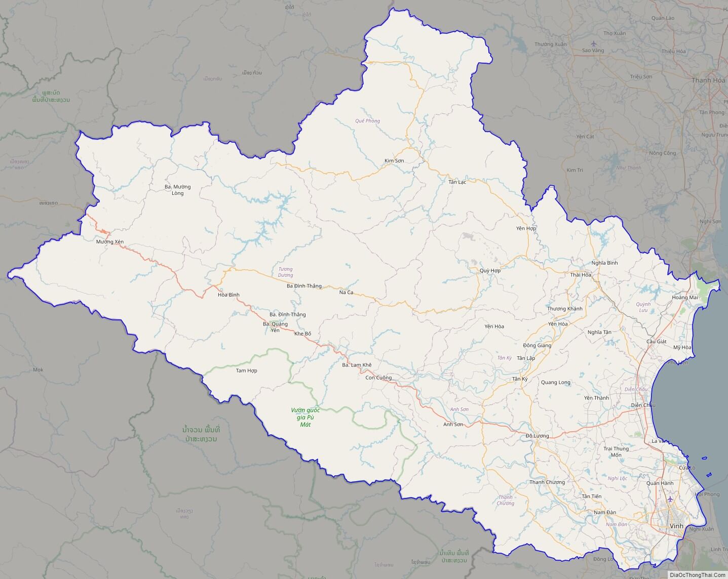
Nghe An street map
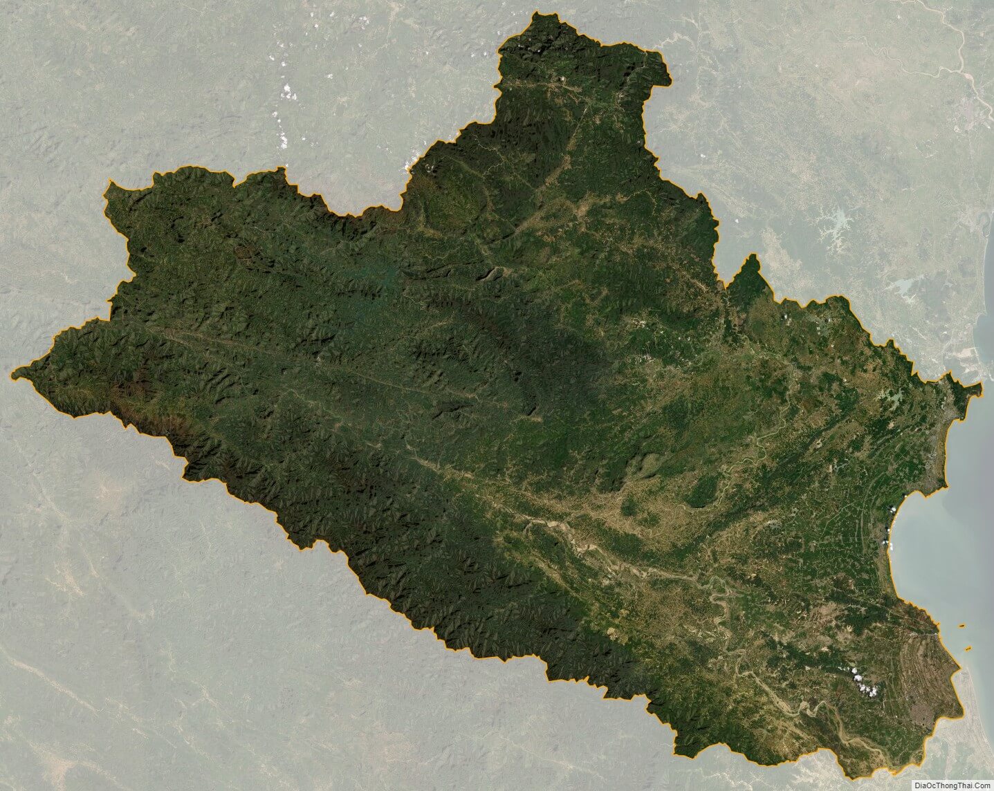
Nghe An satellite map