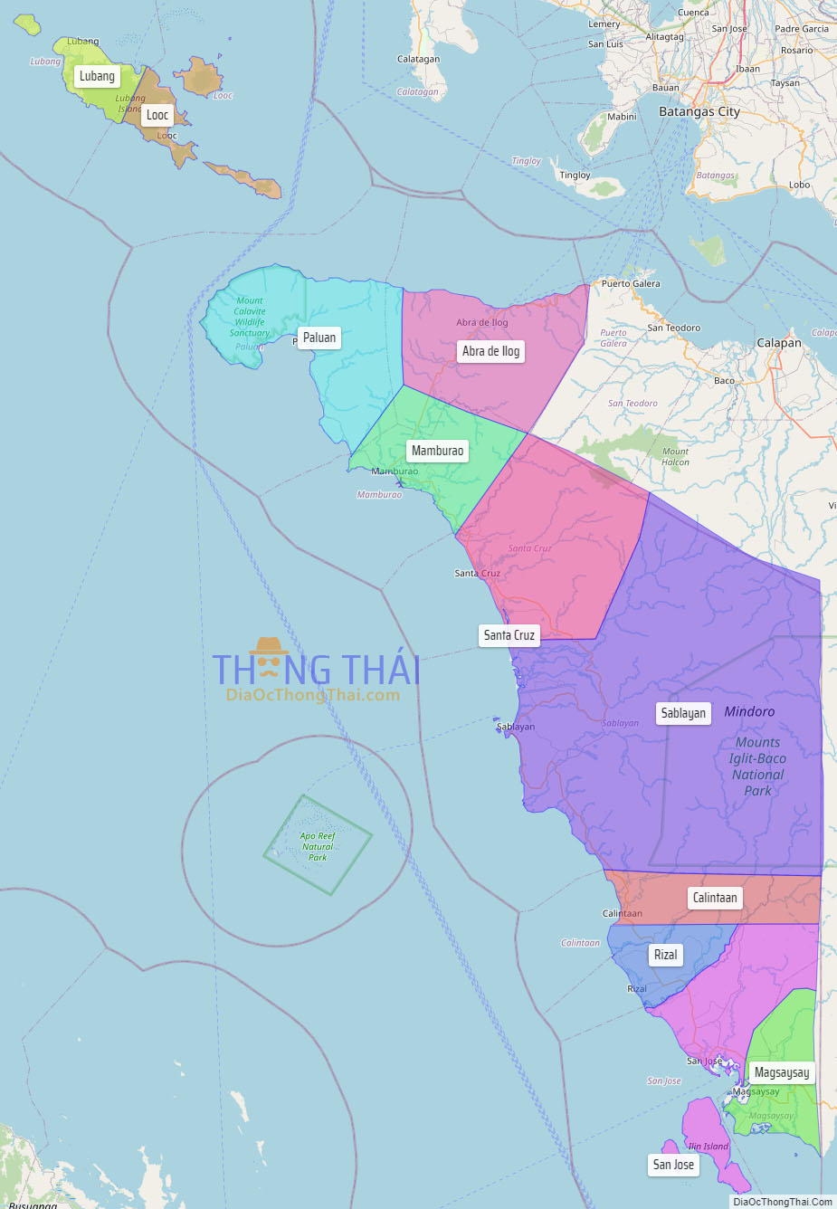
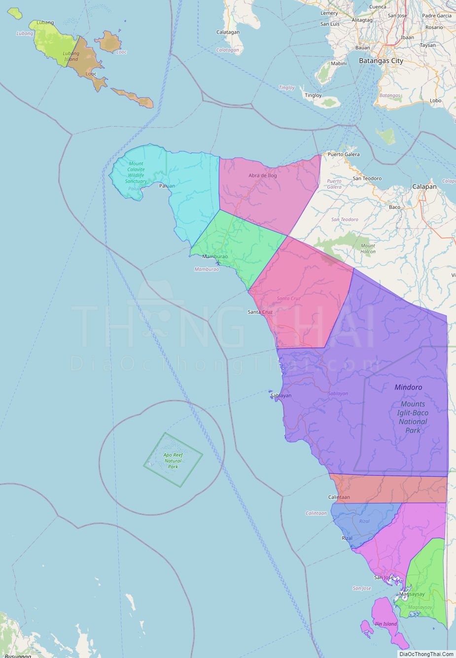
Occidental Mindoro (Tagalog: Kanlurang Mindoro), officially the Province of Occidental Mindoro (Tagalog: Lalawigan ng Kanlurang Mindoro), is a province in the Philippines located in the Mimaropa region. The province occupies the western half of the island of Mindoro. Its capital is Mamburao, but the most populous municipality is San Jose. Sablayan is its largest municipality in terms of area, occupying almost half of the entire province. As of 2020, Occidental Mindoro has 525,354 inhabitants.
The province is bordered on the east by the province of Oriental Mindoro, and on the south by the Mindoro Strait. The South China Sea is to the west of the province and Palawan is located to the southwest, across the Mindoro Strait. Batangas is to the north, separated by the Verde Island Passage, a protected marine area and the center of the world’s marine biodiversity.
| Type: | Province |
|---|---|
| Capital: | Mamburao |
| Area: | 5,865.71 km (2,264.76 sq mi) |
| Area Rank: | 11th out of 81 |
| Population: | 525,354 |
| Population Rank: | 58th out of 81 |
| Density: | 0.48% |
| ZIP code: | 5100–5111 |
| ISO 3166 code: | PH-MDC |
| Website: | occidentalmindoro.gov.ph |
Online Interactive Map
Explore the interactive online map of Occidental Mindoro, which highlights the administrative boundaries with each sub-administrative unit distinctly colored for easy identification. Just click on the map, and the name of the sub-unit will display, providing an intuitive and engaging way to navigate the area. Users can also view the map in full screen and switch between different map views, including OpenStreetMap, Google Maps, and satellite imagery.
Click on ![]() to view map in "full screen" mode.
to view map in "full screen" mode.
Occidental Mindoro Political Map
Map of Occidental Mindoro Province, Philippines the administrative divisions, provincial boundaries, along with detailed depictions of streets, roads, rivers, landmarks, and other geographical features.