Quang Binh , formerly Tien Binh under the reign of Le Trung Hung of the Le Dynasty, this province was renamed Quang Binh in 1604) is a province along Vietnam’s north-central coast.
The province has an area of 8,065.8 square kilometers and population of 857,818 inhabitants (as of 2008) The province is bordered by the Laotian Khammouane Province to the west, the North Pacific Ocean to the east, Ha Tinh Province to the north and Quang Tri Province to the south. Historically, this region belonged to Van Lang and later the kingdom of Champa. Later it was claimed by both the Dai Viet and Champa and officially annexed into Dai Viet by Ly Thuong Kiet, a Ly Dynasty general (under the reign of Ly Thanh Tong).
The site of present-day Quang Binh was battlefields between Champa and Vietnam until the Vietnamese territory was expanded further south by subsequent dynasties. Quang Binh’s importance expanded after Nguyen Hoang, a prince of Nguyen lords was sent to the south by a king of the Le Dynasty. Hoang built his estate and turned it into Dang Trong, a rival of the de facto Trinh-controlled Dang Ngoai. Quang Binh became an important front to defend Dang Trong from attck by Dang Ngoai. Under French rule, this province was part of Annam. During the Vietnam War, this province was part of the Democratic Republic of Vietnam (aka North Vietnam), only 20 km from the DMZ. This province was severely devastated by bombing from U.S. B-52s. This province is home to the World Heritage Phong Nha-Ke Bang National Park. The province is also home to several famous Vietnamese persons, including general Vo Nguyen Giap, poet Han Mac Tu, writer Bao Ninh and the family of former South Vietnamese president Ngo Dinh Diem.
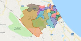
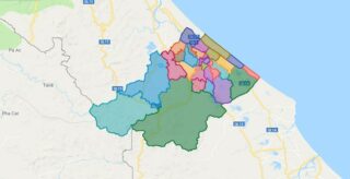
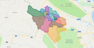
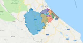
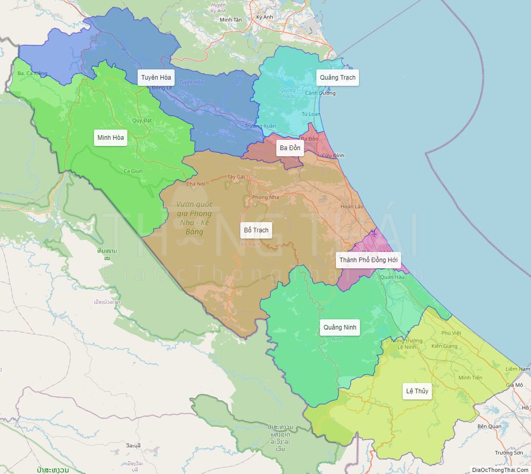
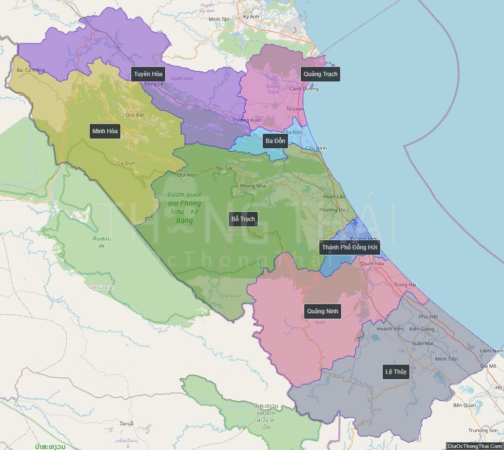
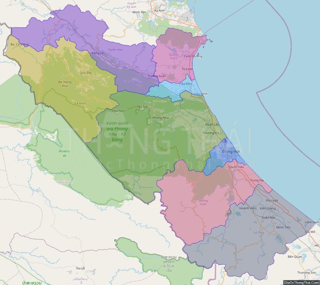
Political Map of Quang Binh province
Click on ![]() to view map in "full screen" mode.
to view map in "full screen" mode.
Base Map Layer: Open Street Map (OSM), Arcgisonline, Google Map, Wmflabs.
Large scale maps of Quang Binh province
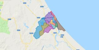
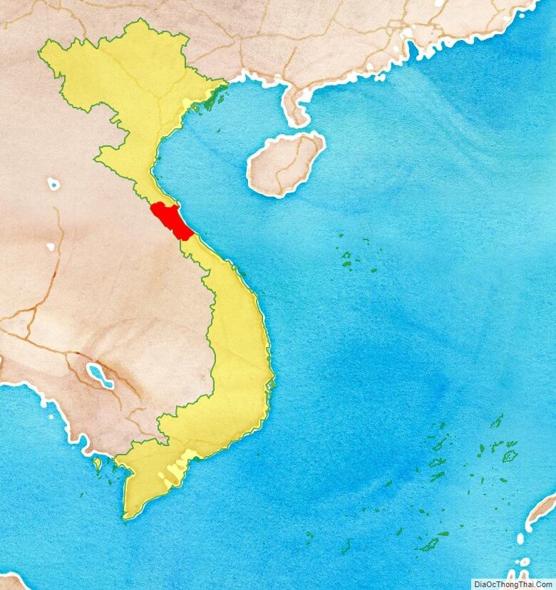
Quang Binh province location map
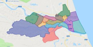
Quang Binh street map

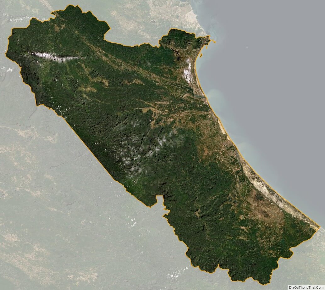
Quang Binh satellite map