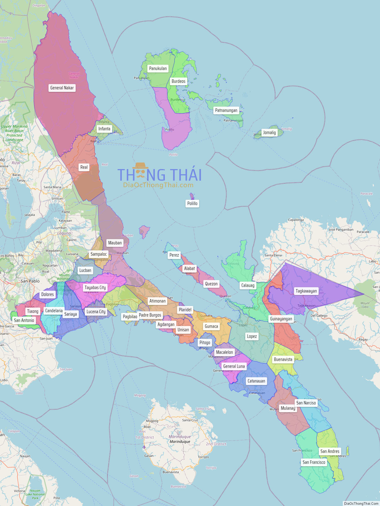
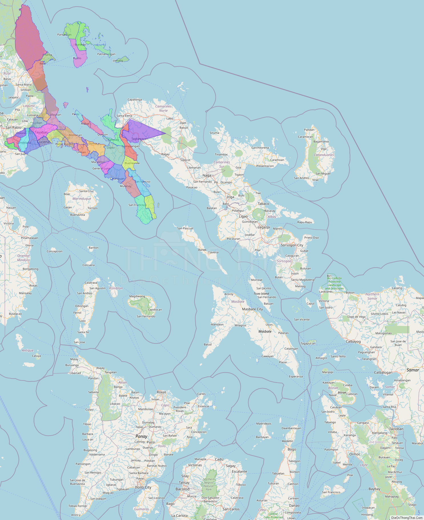
Quezon is southeast of Metro Manila and is bordered by the provinces of Aurora to the north, Bulacan, Rizal, Laguna and Batangas to the west and the provinces of Camarines Norte and Camarines Sur to the east. Part of Quezon lies on an isthmus connecting the Bicol Peninsula to the main part of Luzon. The province also includes the Polillo Islands in the Philippine Sea. Some marine parts of the Verde Island Passage, the center of the center of world’s marine biodiversity, are also in the province.
A major tourism draw to the province is Mount Banahaw. The mountain is surrounded by spiritual mysticism with many Anitist adherents, Christian cults, and Christian organizations staying on the mountain. The mountain was also one of the most sacred sites for pre-colonial Tagalog people before the arrival of the Spanish. Numerous pilgrims visit the mountain especially during Holy Week.
| Type: | Province |
|---|---|
| Capital: | Lucena |
| Area: | 8,989.39 km (3,470.82 sq mi) |
| Area Rank: | 8th out of 81 |
| Population: | 1,950,459 |
| Population Rank: | 13th out of 81 |
| Density: | 2.04% |
| ZIP code: | 4300–4342 |
| ISO 3166 code: | PH-QUE |
| Website: | www.quezon.gov.ph |
Online Interactive Map
Explore the interactive online map of Quezon, which highlights the administrative boundaries with each sub-administrative unit distinctly colored for easy identification. Just click on the map, and the name of the sub-unit will display, providing an intuitive and engaging way to navigate the area. Users can also view the map in full screen and switch between different map views, including OpenStreetMap, Google Maps, and satellite imagery.
Click on ![]() to view map in "full screen" mode.
to view map in "full screen" mode.
Quezon Political Map
Map of Quezon Province, Philippines the administrative divisions, provincial boundaries, along with detailed depictions of streets, roads, rivers, landmarks, and other geographical features.